On the morning of May 10, 1996, climbers from two commercial expeditions start their final ascent toward the summit of Mount Everest, the highest point on Earth. With little warning, a violent storm strikes the mountain, engulfing the adventurers in one of the fiercest blizzards ever encountered by man. Challenged by the harshest conditions imaginable, the teams must endure blistering winds and freezing temperatures in an epic battle to survive against nearly impossible odds.
My Rating: ⭐⭐⭐⭐
An incredibly intense and powerful depiction of a disastrous expedition to climb Everest in 1996. More than worthwhile watching but as well as an overwhelming sense of sadness it also made me angry that anyone with family could put themselves in such a dangerous situation for what amounts to vanity. Even those that survived have been horribly physically and mentally scarred.
Over the last 6 months or so I’ve been watching progressively more on YouTube. I’ve become a regular follower of quite a few channels, some cycling but mostly outdoor – hiking, wild camping and bushcraft. A while back I made my first YouTube video and shared it here. Since then the idea of making this a more frequent thing has been rattling around in my head.
One thing that has held me back is the worry of ridicule. Putting myself out there in film feels pretty pretentious and there is the fear that I could be making a complete arse of myself. However, on my Bessy Bell walk this week I took along a tripod and did some filming as well as photography.
I have to say I did enjoy the filming. Looking for shots and compositions as well as sharing the sights and sounds brought a different dimension to the day. I also enjoyed the post filming editing and production, finding the right footage and mixing in music, commentary and photos. It’s a bit like writing this blog, just a different medium.
Below is the finished article. It’s far from perfect and I learned a lot from this first proper attempt but at least I’m happy to share it.
I haven’t been on the bike since the 100km spin for April. The following Bank Holiday weekend was pretty grim weather wise and the Wednesday after I managed to hurt my back doing some clearing out of the attic and garage. I’ve had problems with my lower back for a good number of years with a slightly bulging disc that causes sciatica when irritated. Nothing major but it flares up from time to time. I’ve had various physio treatments for it but I have a weak core and a terrible lazy streak that means I never totally get rid of it.
This time I strained my left side which resulted in pain and inflammation on both sides of my lower back. I’ve had to start on a course of pain killers and wear a back support to work to allow me to stay on my feet all day. I’ve been able to keep working and walking but had to stop cycling to allow it to heal. It had improved towards the end of last week so I decided that a hike was in order to get me out in the fresh air for a few hours and to test the limits of my back in a situation where I could easily bail if I was in too much discomfort.
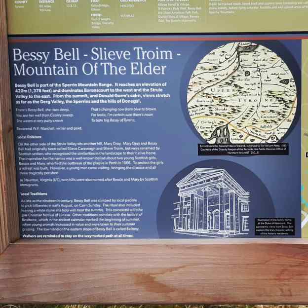
Bessy Bell is a large hill/small mountain just outside Newtownstewart and approximately 25min from home. I was last up here about 5 years ago and figured this would be a good time for a revisit. The 12km loop is completely on stone forest roads and easy for navigation. The climb to the summit isn’t too taxing (maximum height 420m) and the views are very rewarding.
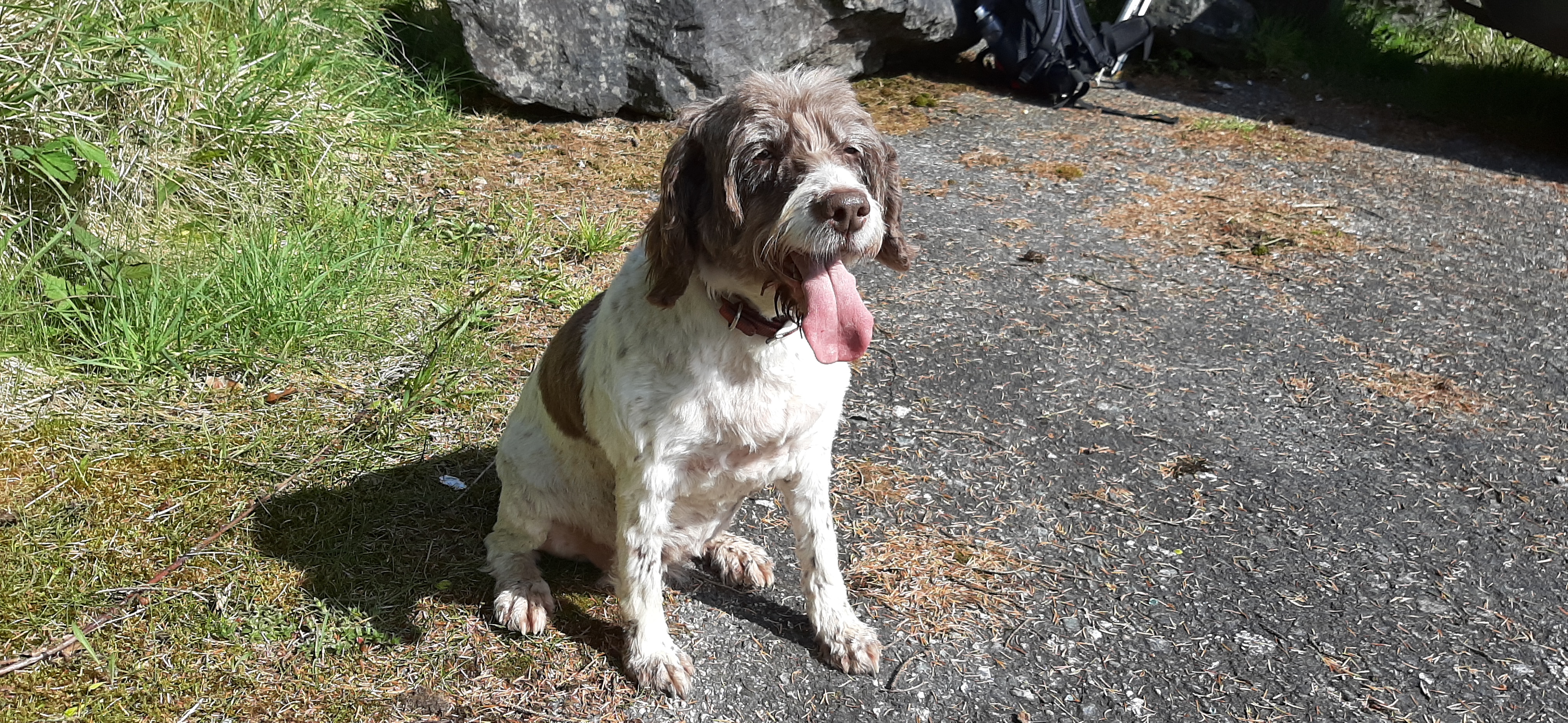
Rosie isn’t a good traveller, she gets car sick, but at only a 25min journey I decided she could come too. She’s getting on at 10 1/2 now but has been full of energy all week so I figured she would manage better than me!
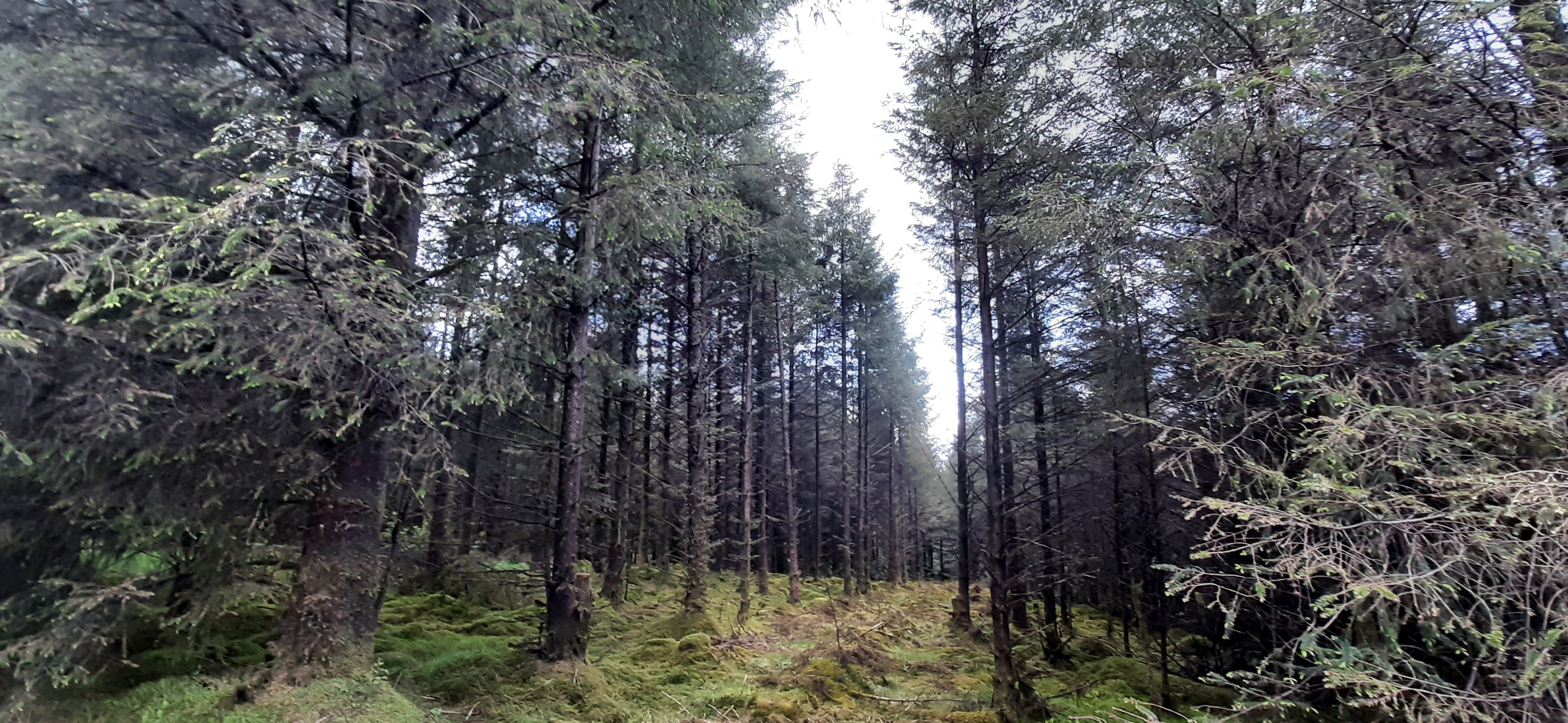
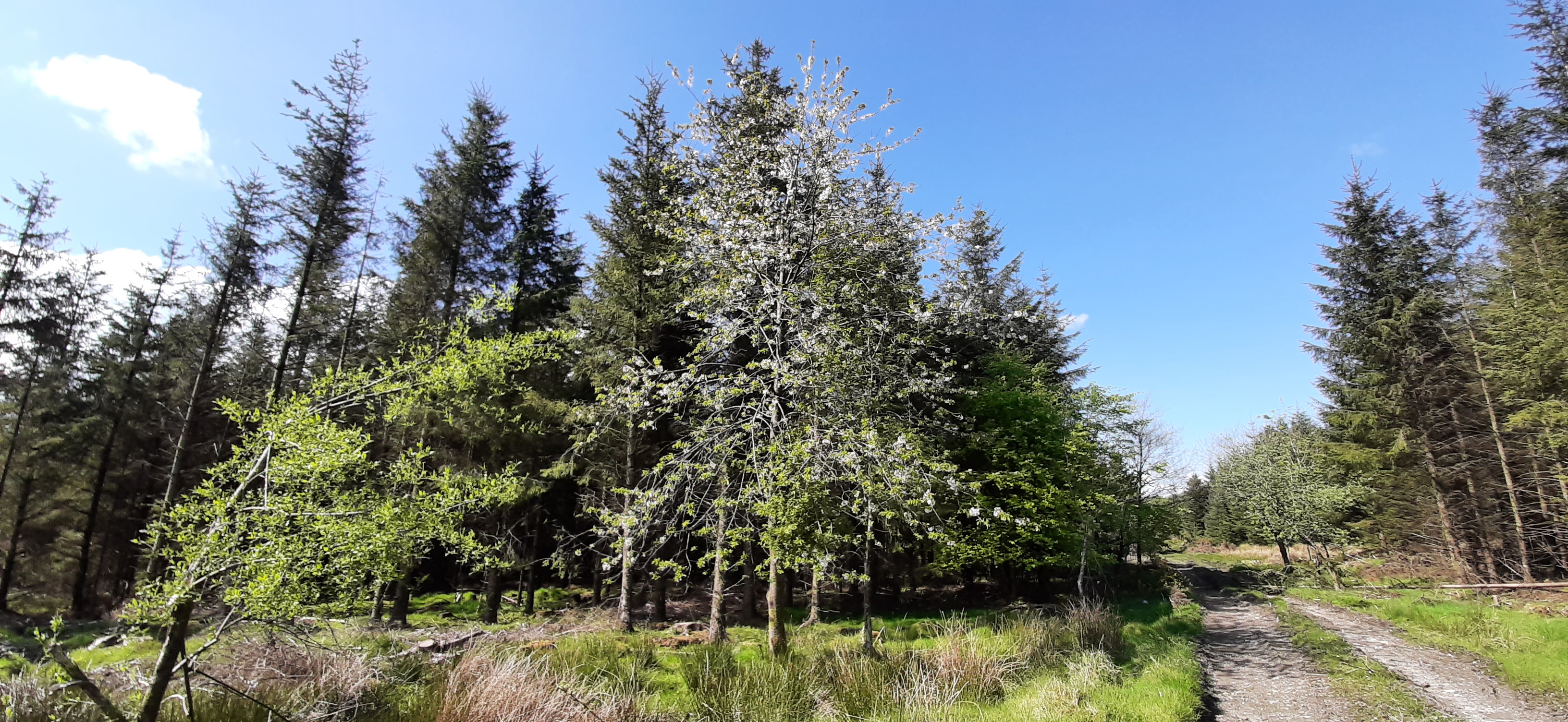
After the summit you descend most of the way by the same track before branching off to follow the Ulster Way most of the way back to the start. This is pretty level all the way with a mix of forest and clearfell areas, very easy and pleasant walking.
The Ulster Way is overlapped in this region by the International Appalachian Trail. New signage has been installed in the last 6 months or so and this is a later section than my previous walk in Killeter Forest a few weeks ago.
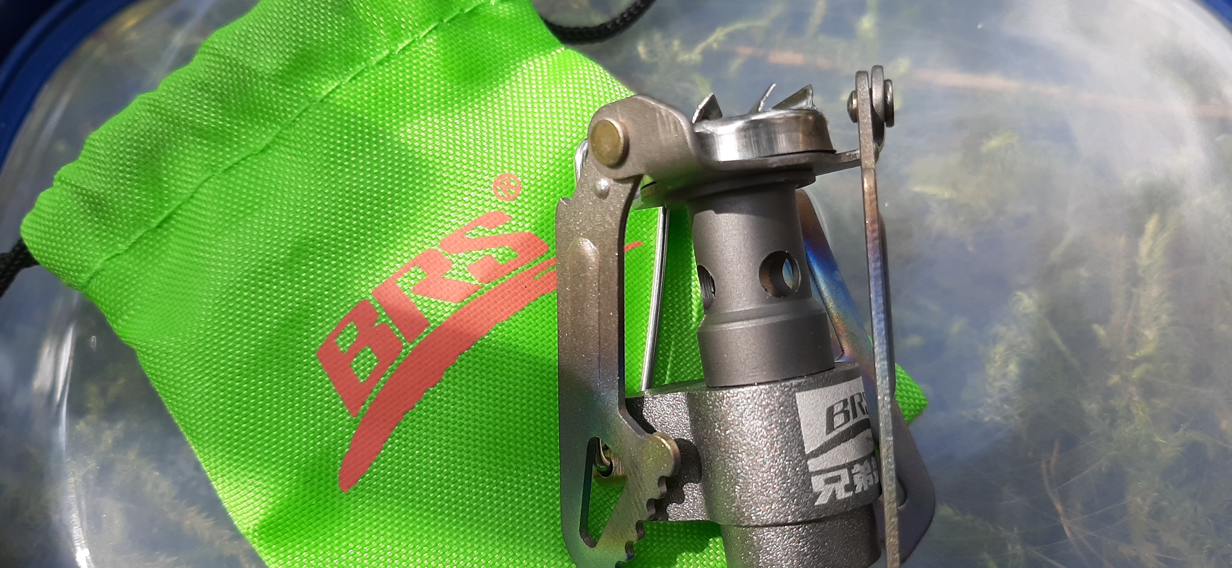
For food I took the usual packed lunch but also decided to take a gas cannister and stove for the first time ever. Normally I carry a flask of tea which usually results in a sub standard, stale tasting and lukewarm drink for lunch. Using the stove provided a very refreshing cup to accompany my sandwiches and definitely worth the slight extra weight.
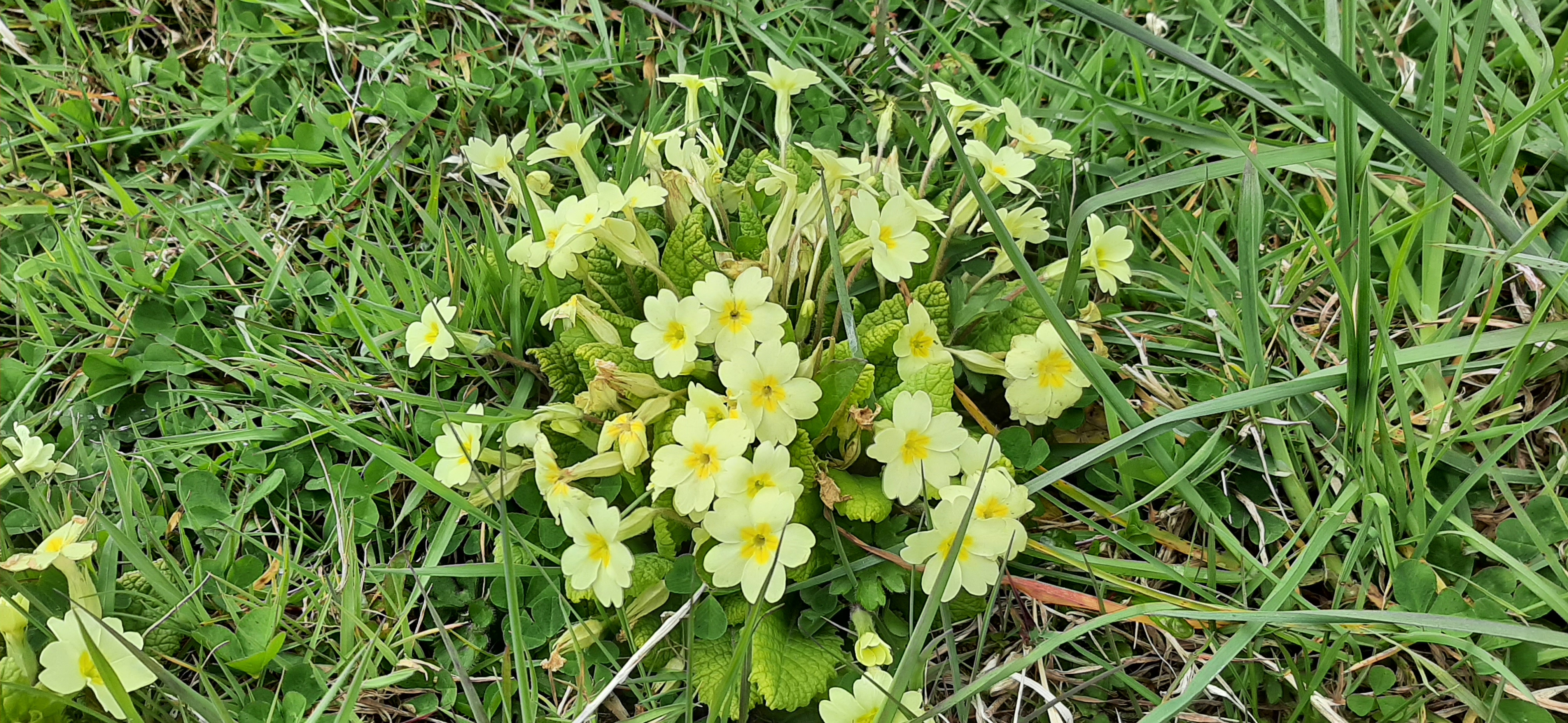
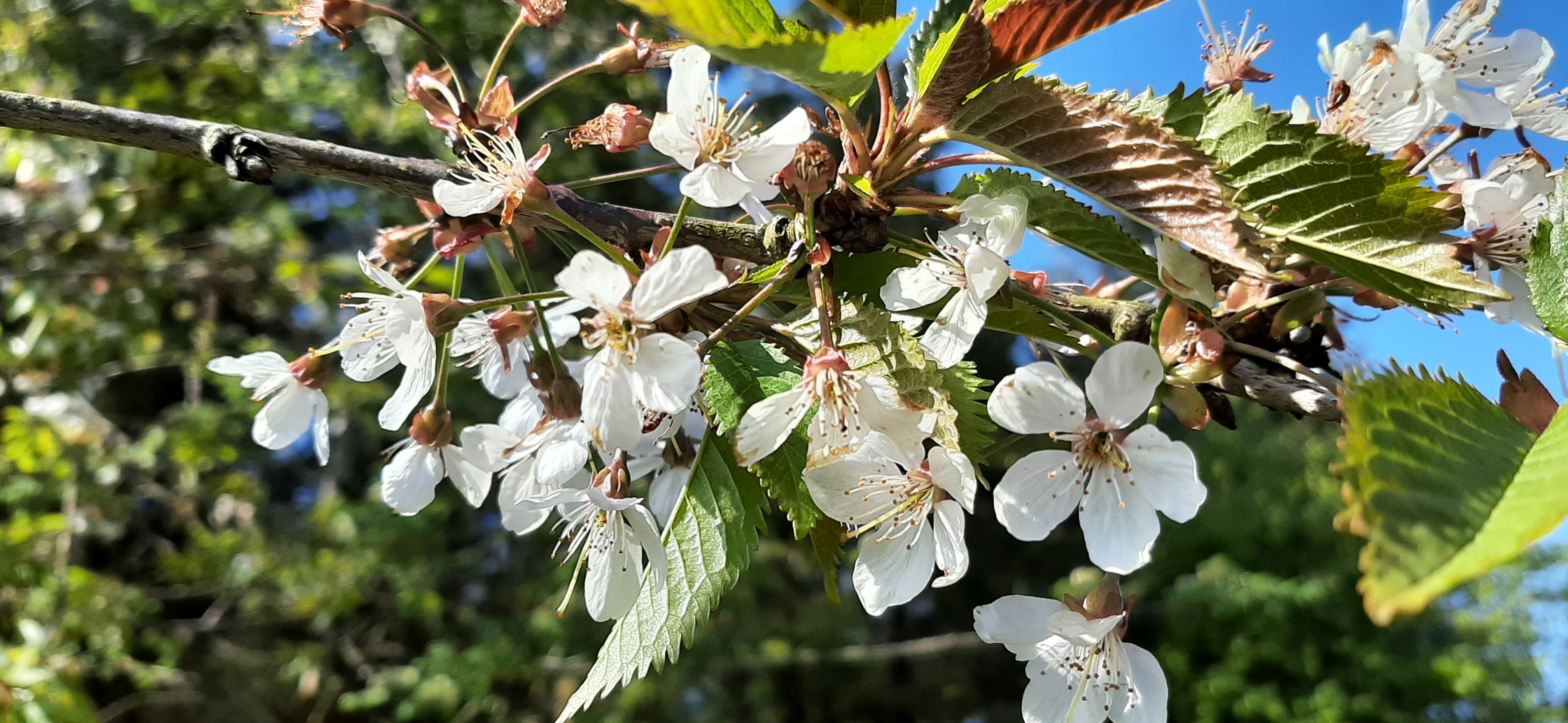
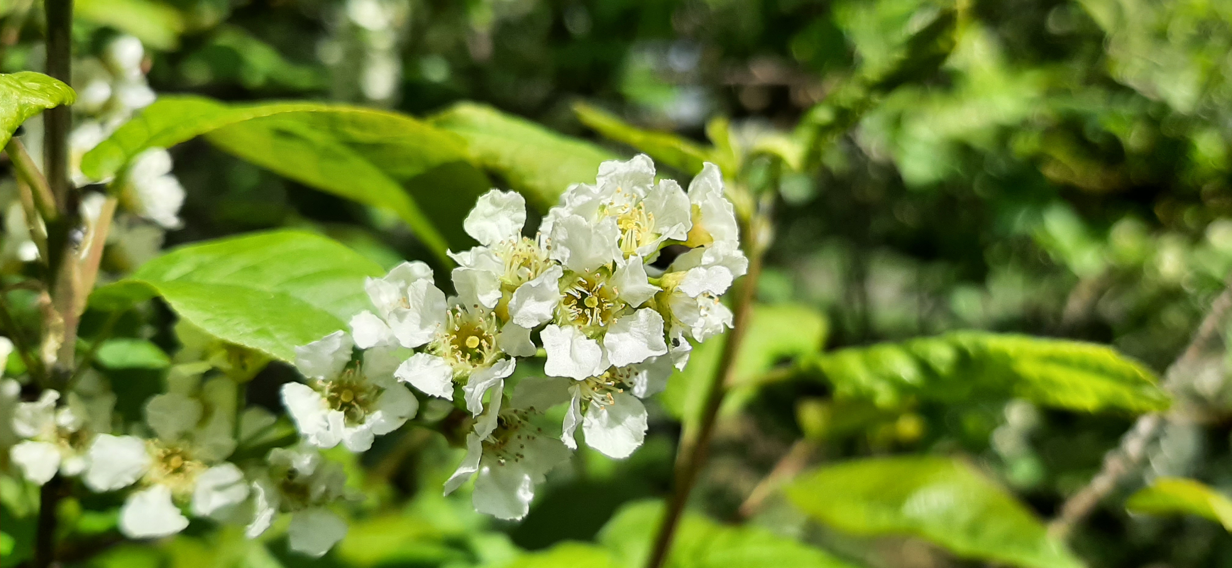
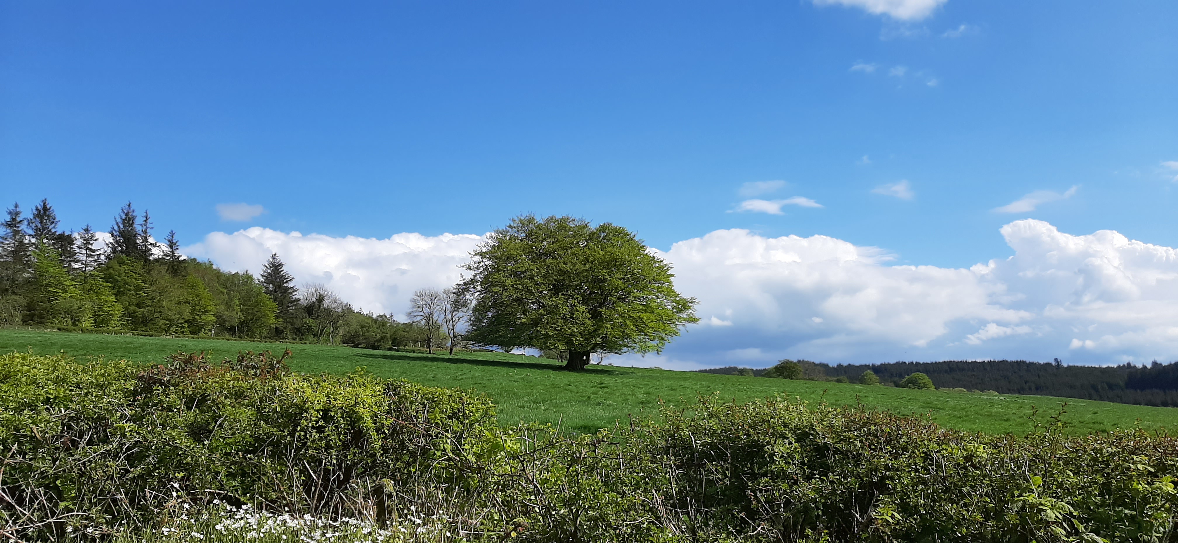
The final 1.5-2km section is along a stretch of rural road. It’s a busy enough road but quieter than I expected this time. Also there was still lots of flowers to admire and nice scenery to enjoy along the way.
tired but happy 🐶
Despite the rest of the country being under a thunderstorm warning it managed to stay dry, warm and mostly sunny for the day. My back coped well and has continued to improve slightly every day since. I hope to get back on the bike for short spins this week.
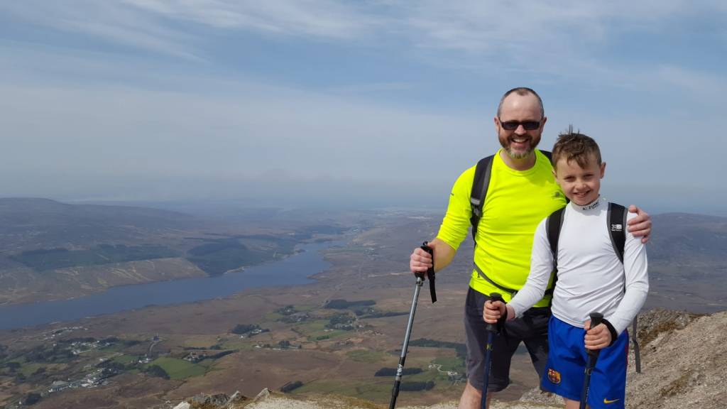
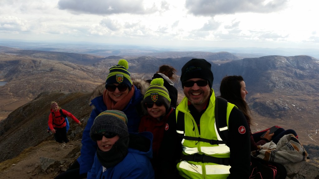
Mt Errigal is the highest point of Co. Donegal. I’ve climbed it a number of times over the years. Last time was April 2019 with Jim, his grandson Veli and Conor.
summit photo
Before that we climbed it as a family on Easter Sunday 2018. This day also marked the 20th Anniversary of the day Catriona and I met for the first time.
a little cooler looking
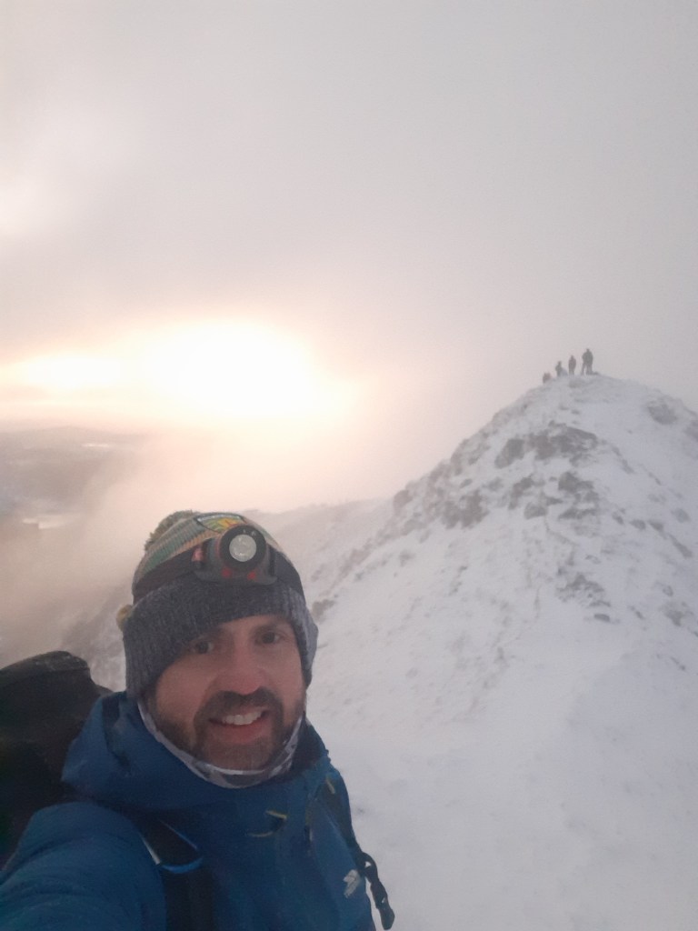
This morning I started 2021 by climbing Errigal once again to witness the dawn of the new year.
2021
The idea for this started as a joke on Xmas Day when I told the boys we were going to camp out on Errigal to witness the dawn. I’d no intention of camping but the idea of a dawn hike was rattling around in my brain ever since. I kept an eye on the weather all week and it looked like it was going to work out.
The alarm woke me at 4:10am and after just one snooze and my first attempt to talk myself out of the idea I was dressed, fed and out the door shortly after 4:45am having tried to talk myself out of it for the second time!
Driving over to Letterkenny I suddenly remembered that the new lockdown restrictions that came into effect yesterday included a resumption of the 5km travel limit. At this stage I was committed and drove on hoping not to meet a checkpoint on the road.
Approaching Glenveagh Muckish was suddenly on the skyline, reasonably visible due to the almost clear sky and the bright moon, just one day from full. Along the road the remaining “Seven Sisters“ appeared with Errigal finally looming large with some clinging cloud and a topping of snow.
Arriving at the car park there was a car, a van and a motor home already parked up. A second and third car appeared within 5 minutes. As I was getting dressed a hiker appeared over the ridge and into the car park. He had some route advice and showed us a video of conditions at the top. He had started out at 3:30am and didn’t want to wait for dawn as it was so cold.
The other cars and the original van turned out to be a small group of online friends meeting for the hike. They were pretty fit looking so once they were ready, after everyone sheltered from a fairly heavy shower, I let them get a 5min head start to keep us apart on the hill. This was my third and final attempt to talk myself out of it!
The initial section of the hike is across wet bog and along the bank of a stream. It’s pretty difficult terrain at the best of times, particularly wet this morning and very tiring in the dark. Keeping an eye on the lights in front I was able to plot my route pretty successfully and reach the start of the scree without falling in a bog hole. Despite the compacted snow and patches of ice the firmer ground made for much easier walking and surprisingly I soon passed the first group.
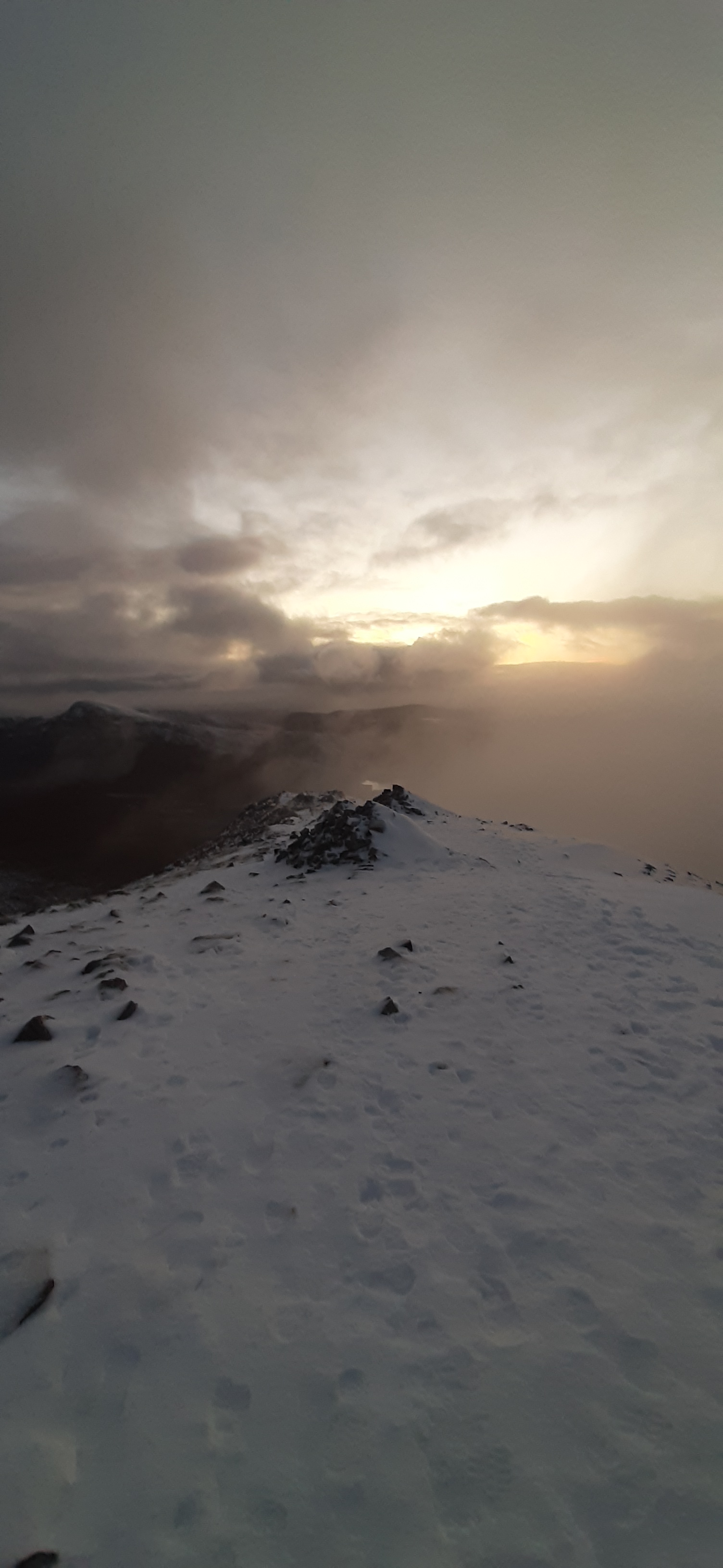
Following the footsteps in the snow and the path faintly visible in the light of my head torch I made steady progress and soon reached the rest point just below the summit. This is a ring of stones approximately 4m wide and built up to a height of about 1m. Just enough to provide shelter from the wind. Just as I arrived another heavy shower of snow and fine hail blew in but once I had my hood up and sitting on my seat pad, leaning against my rucksack it was reasonably comfortable. Less than 10 minutes later and the group joined me. We were way too early for the dawn and with zero shelter at the peak we waited in the shelter until 7:45am and then headed for the top all together. Along the way the clouds lifted and there was a tantalising vague view of the mountainside falling away and the nearby landscape and mountains highlighted with drifts of snow.
Very quickly we were on the first summit and crossed over the narrow ridge to the second. The cloud was fairly thick again but the brisk wind was keeping it moving with the full moon appearing every now and again as the clouds blew over.
The other group moved back to the first summit to check the view for photos and fire up a drone. I stayed where I was as I was keen to experience the dawn peacefully on my own.
The temperature was close to freezing and the windchill sub zero which made it difficult. As usual toes and fingers suffered the most, especially my right hand as I had to remove my glove to take photos.
As the light gradually appeared the sky started to ripple with the pink of dawn and as the clouds blew past I soon forgot about the cold. Ever so slowly the landscape below began to materialise as the light increased and eventually the sun’s glow was visible through the clouds.
The whole experience was amazing. It’s easily one of the best things I’ve ever done and I found it quite uplifting and emotional. A morning I don’t think I’ll ever forget ♥
The descent was pretty straightforward now that daylight had arrived. It needed care though as the path was compacted and slippy with a mix of snow and ice. Lots of people were making an early ascent of the mountain and it was really nice to get a chorus line of Happy New Year all the way back to the end of the scree. The bog was running wet for the rest of the descent and very muddy for the last few hundred metres but much easier descending and daylight made pathfinding much easier.
I met at least 40 people on my way back down and the car park was full to overflowing with more cars parked along the road. Seems like I’m not the only one who forgot about the 5km limit today!
Two of group I met on the hill are very talented photographers and are active on Instagram. These are the photos they chose from this morning. They have a lot more talent than I do and are worth following.