
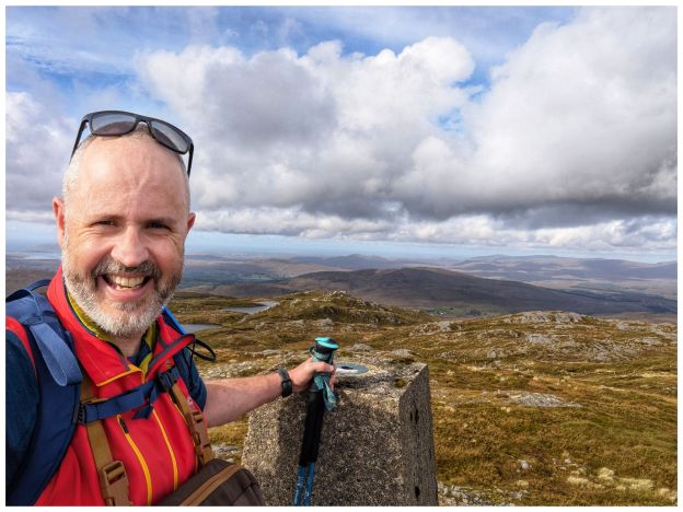
It’s been a difficult few weeks at work. Lots of rumour, worry and it turns out a lot more stress than I realised. Everything came to a head this week and I finally knew that everything thing was going to be OK and that my job was safe. Once this sank in fully I really could feel a weight off me both physically and mentally. On Friday evening I realised just how much stress I’d been carrying and the release of that left me feeling almost giddy!
Mourne Mountains
Despite, or maybe because of the stress I was out walking with the Bluestack Ramblers last weekend. It was a Club weekend away to the Mourne Mountains. I wasn’t able to make the whole weekend but I was able to make one day. With encouragement from one of the organisers I headed across on the Saturday morning. That day suited me best, it was the most interesting of the walks and the weather looked decent. Thankfully I did pick Saturday, as Sunday turned into a complete washout and that day’s walk was abandoned.
A 5am alarm saw me on the road for 6am and pulling into the Bloody Bridge car park shortly after 8:30am. On the way I realised that I was just 15min from one of my regular shop calls and that a trip to the Mournes should be a much more regular excursion for me. I’d always felt that it was a much bigger journey and one that needed an overnight stay. I was in bed early on Friday night and had a solid 7 hours sleep. If I’d camped or slept in a hostel I probably wouldn’t have got anything close to that. Expect more Mournes trip reports here from now on!
We weren’t meeting until 9am so I had loads of time for a second breakfast and to get ready. All I knew was that the walk was to Chimney Rock Mountain. It turned out to be a very enjoyable there-and-back walk up from Bloody Bridge to the Mourne Wall before heading up to the Chimney Rock summit at 656m.
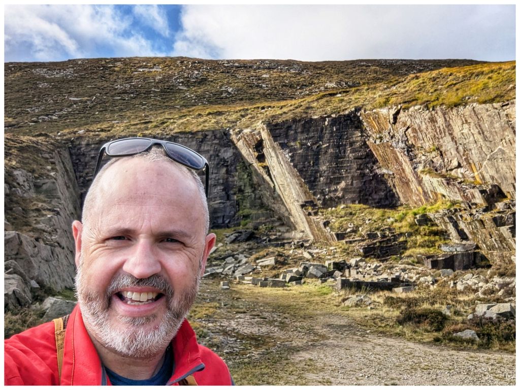
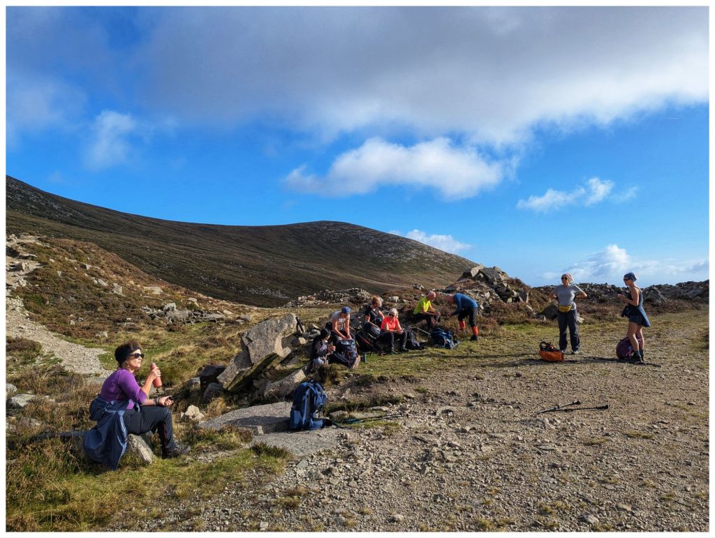
The walk up follows a rugged but distinct path along The Bloody Bridge River. Crossing the river at a very picturesque ford we picked up a wide gravel path that leads to an abandoned quarry where we had a short break before continuing on to the Mourne Wall along a rougher track once again.
From the car park and all the way up we had lovely sunny and warm weather with barely a breath of wind until just below the crest close to the Wall. The weather was on the change though.
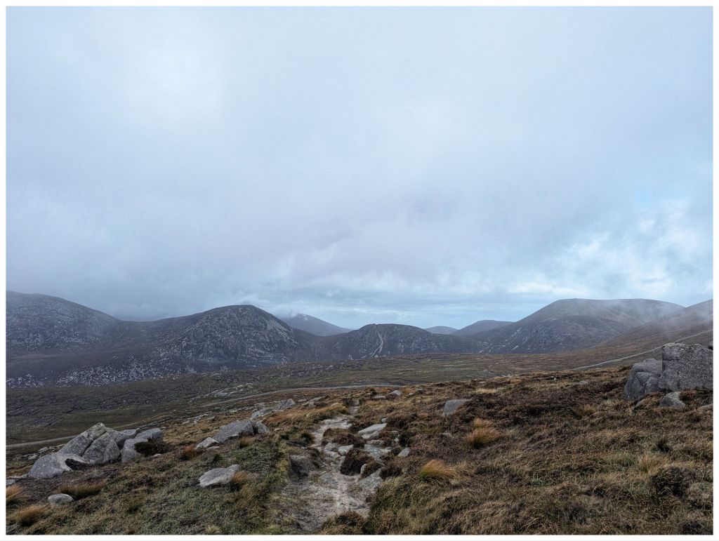
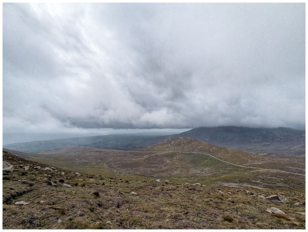
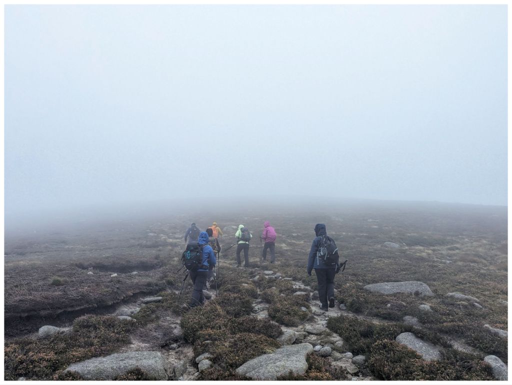
Leaving the Wall a layer was quickly added as the thickening cloud came in and dropped, threatening rain and bringing with it a significant breeze. The views were quickly disappearing and we were soon in the cloud from approximately 580m. As the cloud thickened further the wind picked up and with spots of rain and a significant windchill waterproofs, gloves and hats soon appeared.
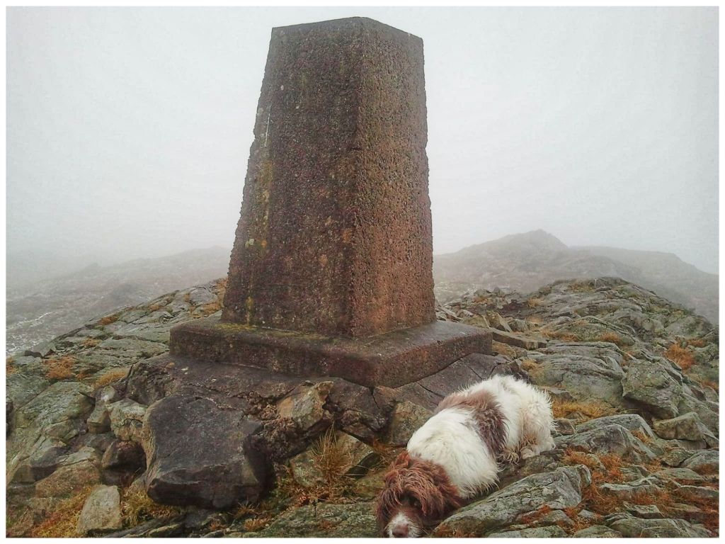
Chimney Rock has an impressive summit cairn but no views for us today as the weather had closed in completely.
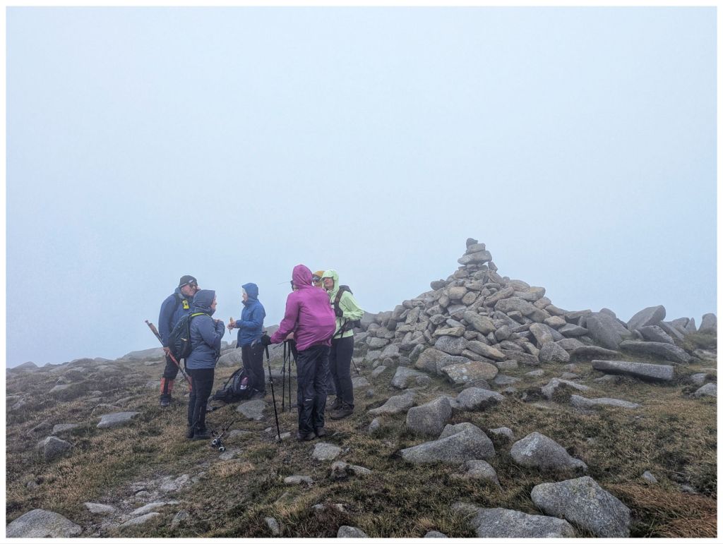
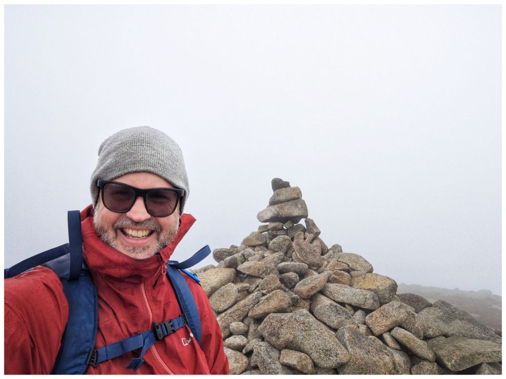
With a strong, cold wind we didn’t hang around long and were soon retracing our steps through the limited visibility. Conditions had worsened a lot but we dropped out of the cloud just above the Wall again. The Wall itself provided a perfect wind break for lunch as the clouds gradually lifted.
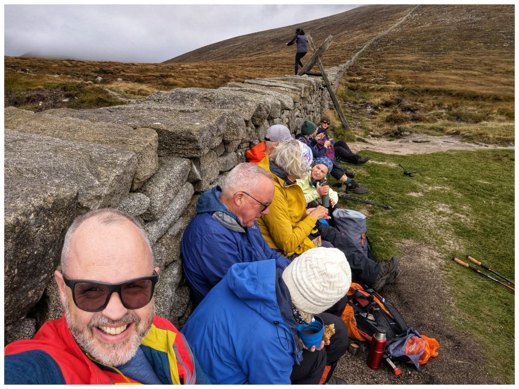
Fed and watered we headed back down to the quarry and followed the river back to the car park with the clouds continuing to clear and finishing once again in the sun.
A hugely enjoyable day out in good company in very different terrain than what I’m used to. Getting home just before 6pm only reinforced how accessible the Mournes are.
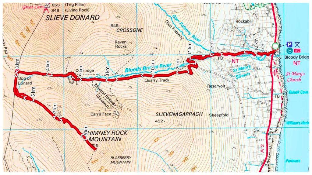
⛰️ Chimney Rock Mountain 656m
👣 12.25km
⛰️ 729m elevation gain
⏱️ 6hrs 1min total time
⏱️ 3hrs 47min moving time
Back In Donegal
This weekend past I was closer to home. My best friend Jim was over from Scotland for a family wedding in Derry and we managed to carve out a couple of hours to meet up on Saturday morning. We headed for Inch Wildfowl Reserve and the loop walk there that explores both the coast and the island using the two artificial causeways.
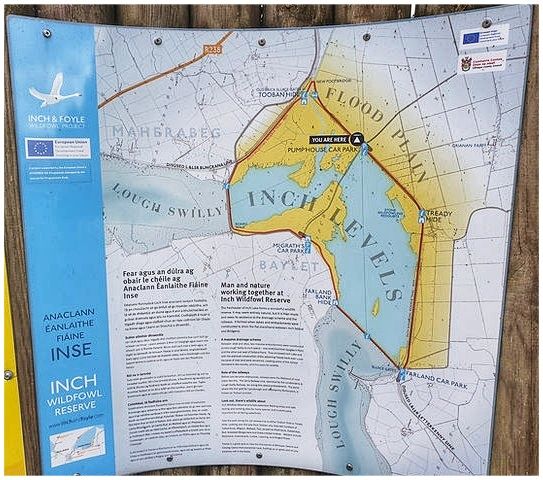
It’s a great location. Lovely flat paths, well signposted with a good surface, toilets and a couple of hides. Also, lots of birds but neither of us are really ornithologists* and we are were too busy chatting and catching up after a long time not having met in person. Almost 8km in just over an hour and a half but it flew by.
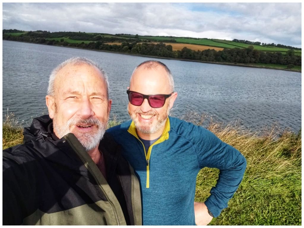
*We did have one bird argument. I think I win and that it was a grebe but that may have been a win for confidence over truth 🫣🤣
Leaving Jim I headed straight for Fintown. I’m leading a walk up Aghla Mountain on November 1st. Considering the last time I was up there was November 2012 I figured I’d be better off doing a recce first!
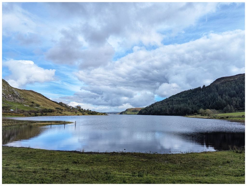
The car park is at the Glenties end of Lough Finn and driving out of Fintown Aghla rises impressively on the left, above the lake. When you get out of the car it’s looming directly above and feels more like a wall than a mountain!
A short road walk along the Lough brings you to a gate beside a small house that marks the entry point to the hill. If you’re lucky you might make some new friends here…
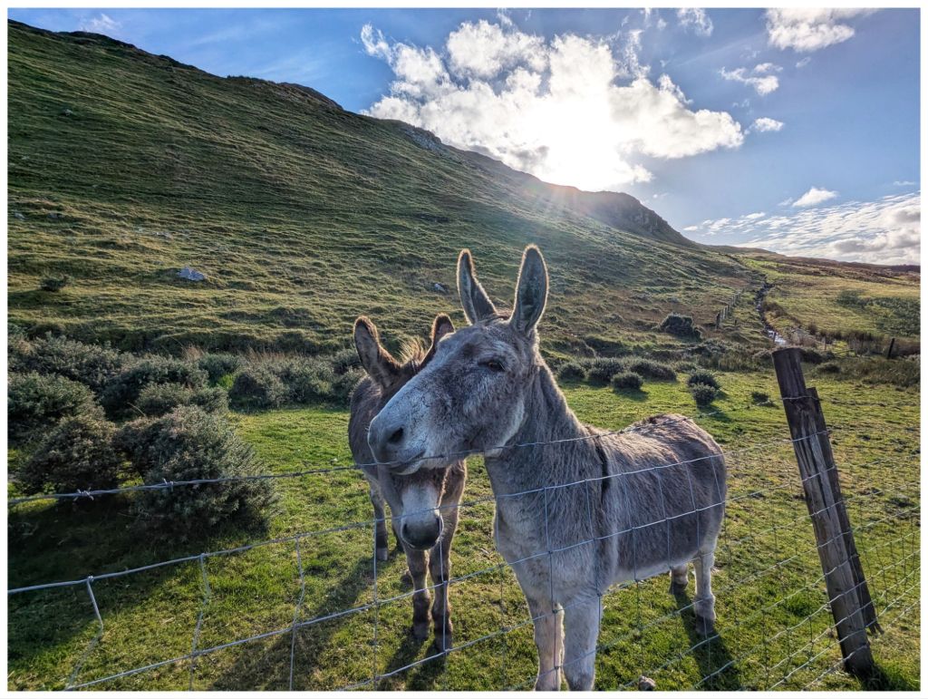
Hitting the hill after the gully and it’s straight into UP! The first section contours across the hill so it’s not quite as tough on the legs and lungs but soon after crossing a fence it’s straight up and even steeper. It’s not quite scrambling but not far off and I made good use of the poles to make sure of every step. I didn’t fancy sliding backwards on that slope!
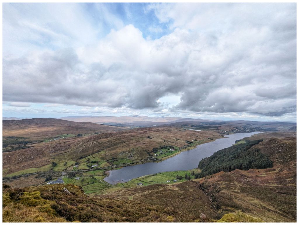
Climbing up to and around the side of a rocky crag, towering above me, I finally made it to a flatter area to catch my breath. 2km in 1 hour including the walk in along the road!
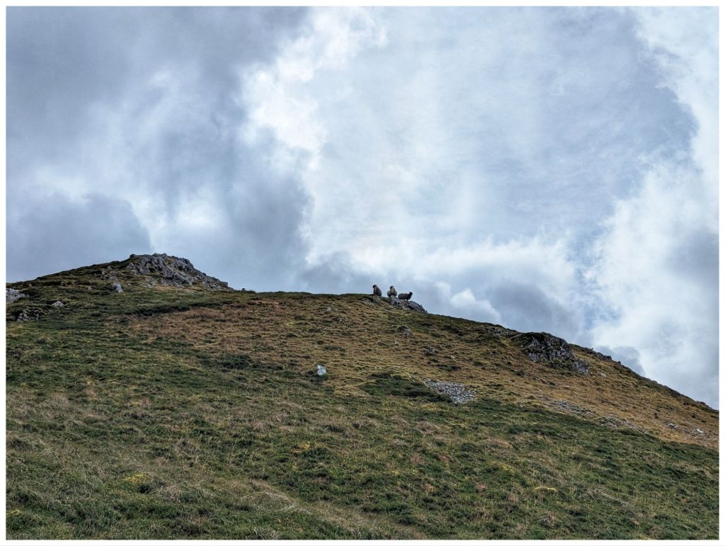
Having caught my breath and settled my legs that were in shock after the easy 8km in the morning it was back to Up again. More steep, rocky and really enjoyable ground and I eventually reached a small rocky crag at 545m overlooking a pair of unnamed lakes just below. Another cracker spot to have a short break and a quick snack to make the final push to the summit. From the crag I could see the trigpoint on the rocky top.
Dropping off the crag I briefly descended approximately 20m into a shallow, squelchy gulley before hitting more rocky ground and heading for the summit. Navigating through rocky outcrops I almost stumbled upon the trigpoint at 593m getting there quicker and easier than I had expected. 1hr 45min for just under 3.5km but not bad considering how slow the first, steep ascent was.
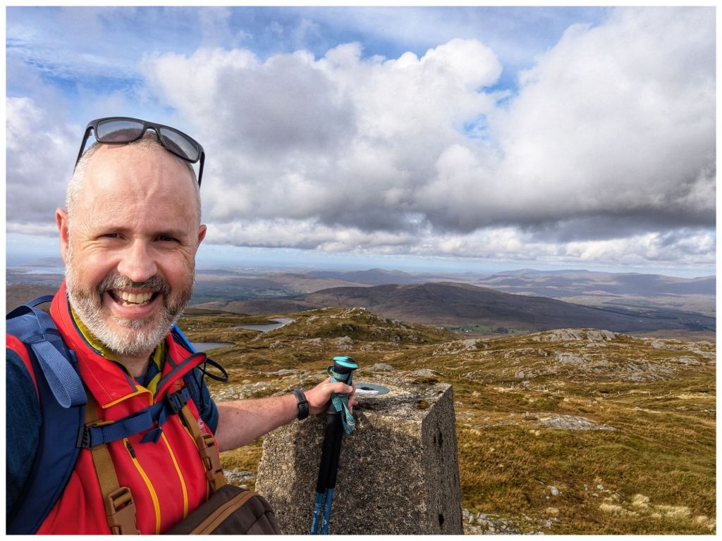
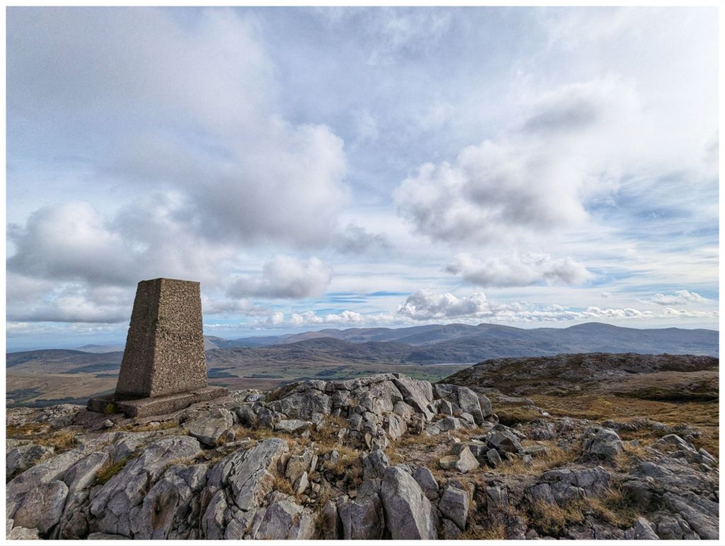
There’s a second summit (Aghla South Top) at 589m. My original plan was to head over there before returning to the summit and descending. However, my legs were tired from the morning and I was much later in the day than normal so decided to save the extra 1km and keep it for the Club walk instead.
There was a significant breeze on the summit with a cold edge but the rocky top provided a nice windbreak that allowed me to sit in the sun in comfort and enjoy my lunch.
The view from the summit is fantastic. It’s a true 360 and with high cloud and bright sunshine I was able to enjoy it to the full. One of the best Donegal mountain views in my opinion.
The descent was very enjoyable. A nice rocky section along the top before dropping down but nothing as steep as the climb up. The ground was squelchy but not boggy and was easy enough walking. It also gave me a chance to practice some of my recent navigation training matching the map to the ground and taking some bearings.
With cliffs towering above and a small stream accompanying me the first descent was very enjoyable, reminding me a bit of Binevenagh.
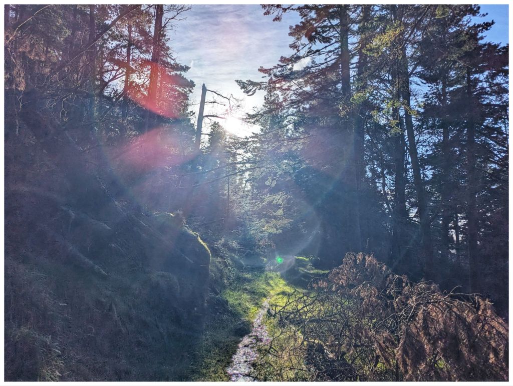
Before long I was on the final drop off the hill and on to the rough track that heads through the forest along the edge of the lake and back to where my hairy friends were waiting to say goodbye.
The forest seems to have been left unmanaged for a good few years so there were a number of trees down across the track but nothing that couldn’t be clambered over or around. Loads of streams crossing the path and neglect gave it a nice wild feel that you don’t often get in plantations.
Back along the tarmac track the way I came in and I was back at the car, tired but smiling. I was delighted I’d made the decision to go ahead with this walk despite the late start. Really enjoyable and perfect weather. A nice way to celebrate the end of the week.
⛰️ Aghla Mountain 593m (Bluestack Mountains)
👣 7.9km
⛰️ Elevation Gain: 537m
⏱️ Total Time: 3hr 45min
⏱️ Moving Time: 2hr 18min
Paying Attention?
So what’s missing from the last two weeks? Yeah, not much cycling. I did manage one evening spin after work on the 23rd. It was a lovely sunny evening that meant a dangerously low setting sun so my planned 40km route became 33km to use the Greenway and stay off the roads as much as possible on my way home.
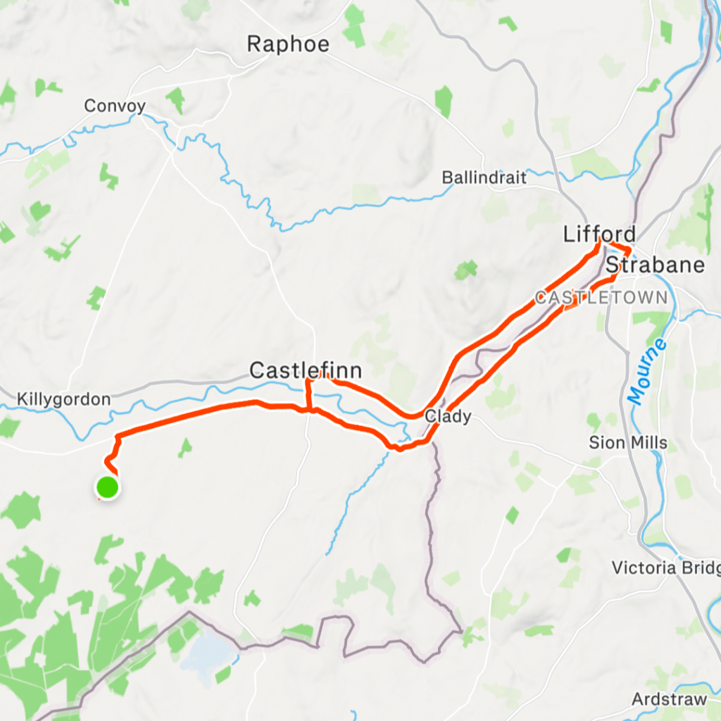
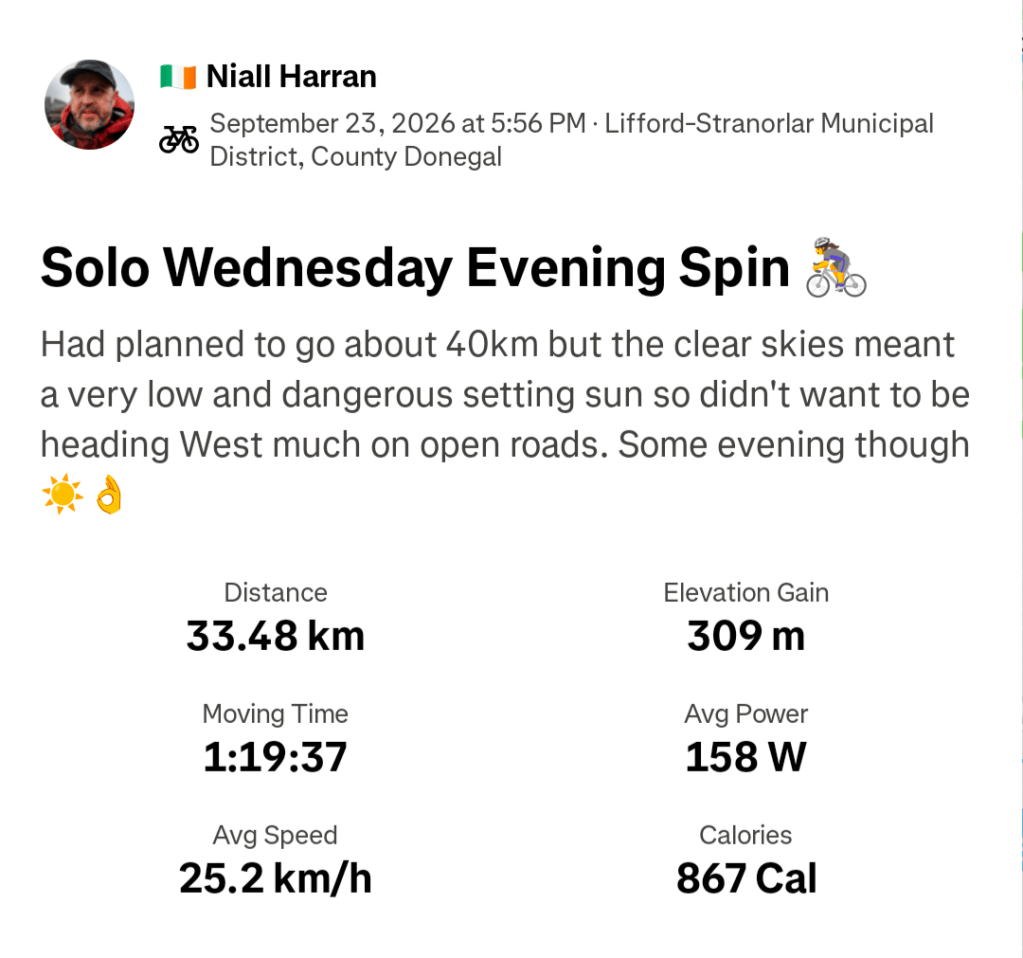
With Autumn coming in, shortening days and messy weather I’m finding it difficult to motivate myself out on the bike. Thankfully, I’m really enjoying the hillwalking and I have a feeling that will be my main activity over the Winter.


When you’re a little out of love with the thing you love, doing something else is a good plan. Great to hear work issues have resolved themselves. They really cause a lot of stress.
LikeLiked by 1 person
I am glad the imagined did not become your reality. Loved your account from the path!
LikeLiked by 1 person
great views
LikeLiked by 1 person
I’m so glad that you’ve still got your job. That is a stressful thing to go through – the walk looks great and I do love a donkey!
LikeLiked by 1 person
Thank you, it was very stressful but it’s done now thankfully…
LikeLiked by 1 person