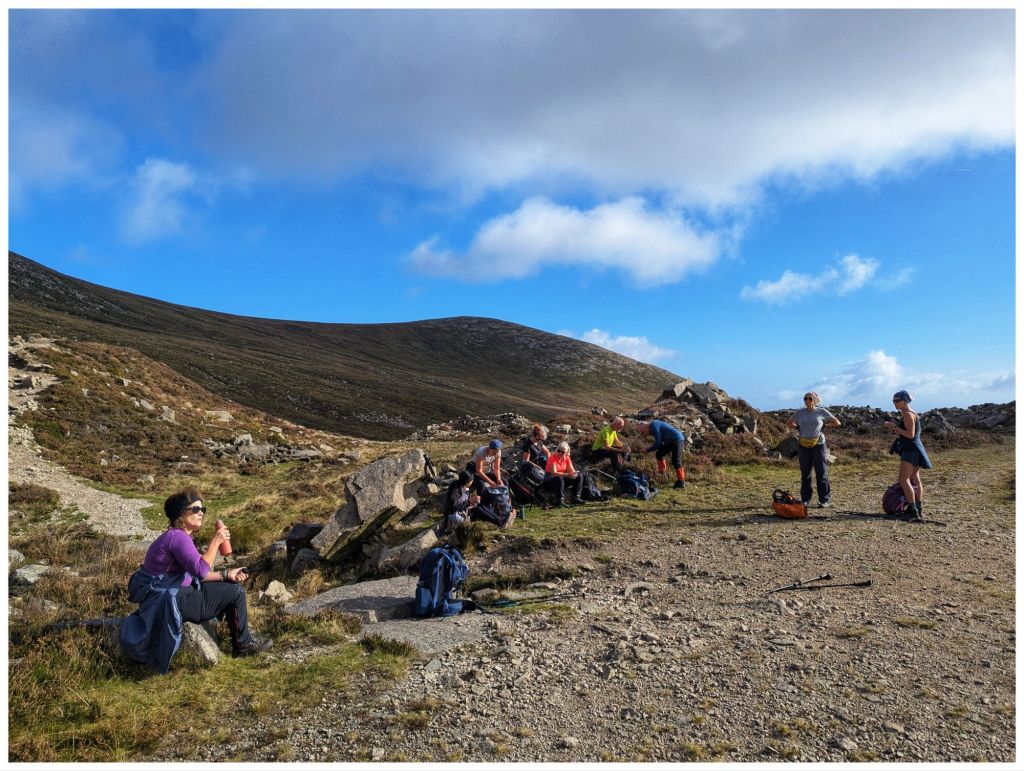
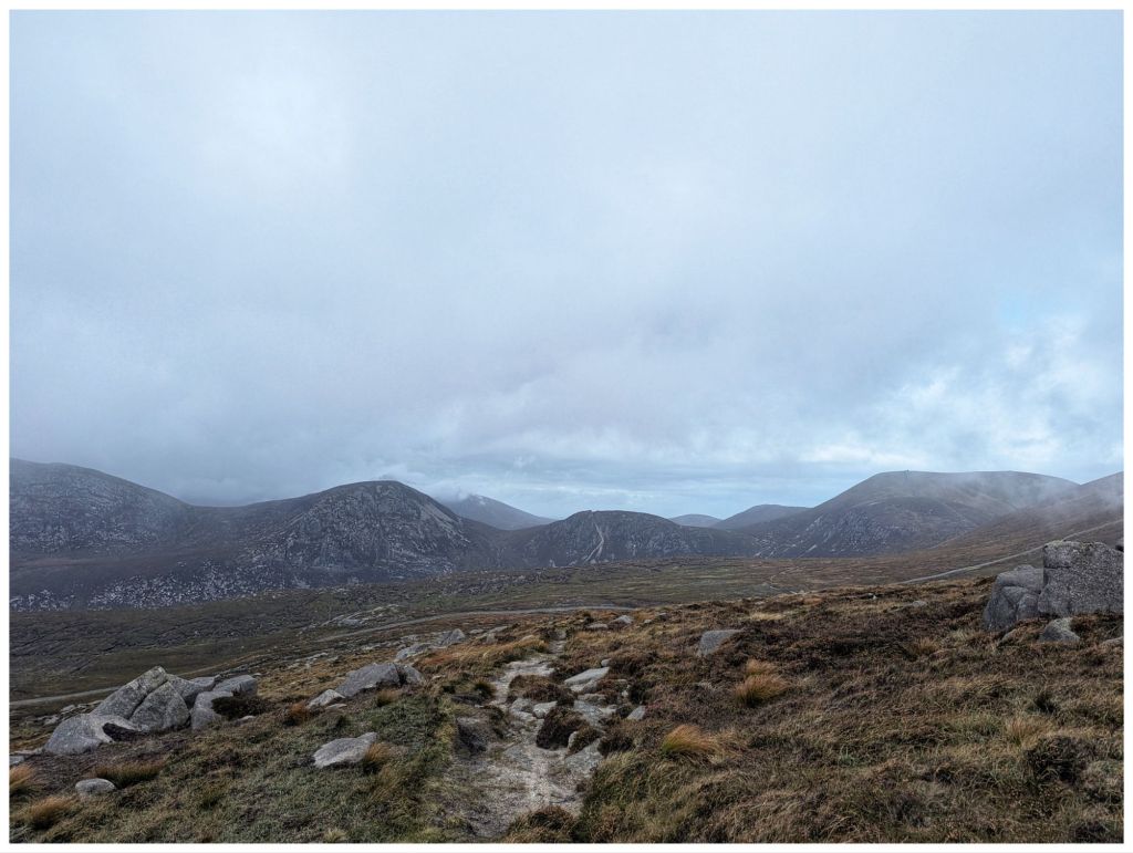
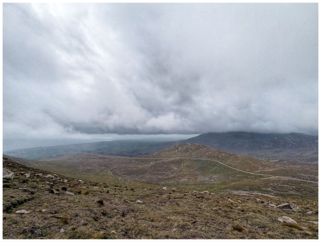
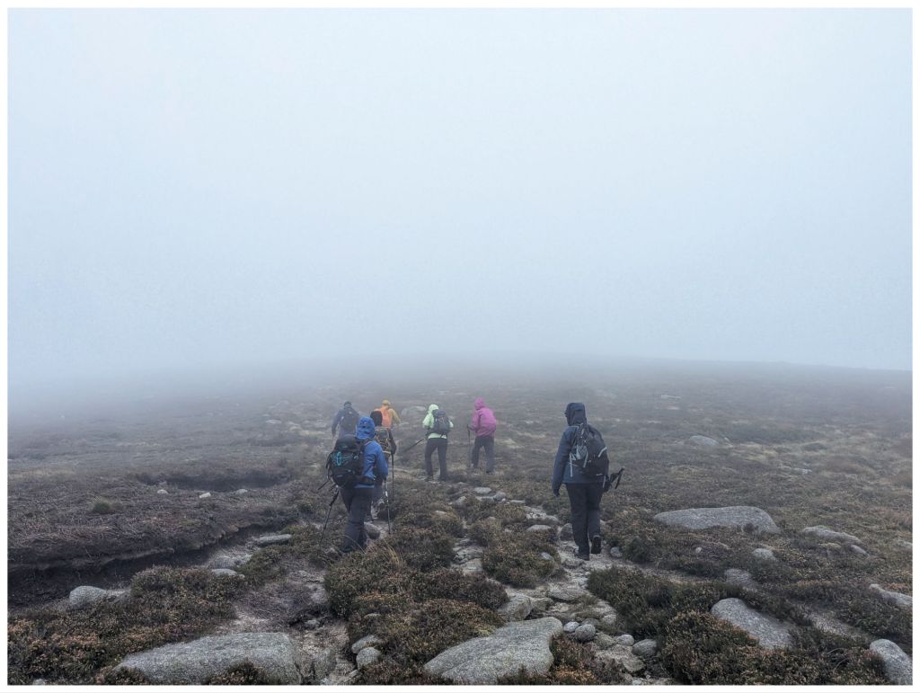
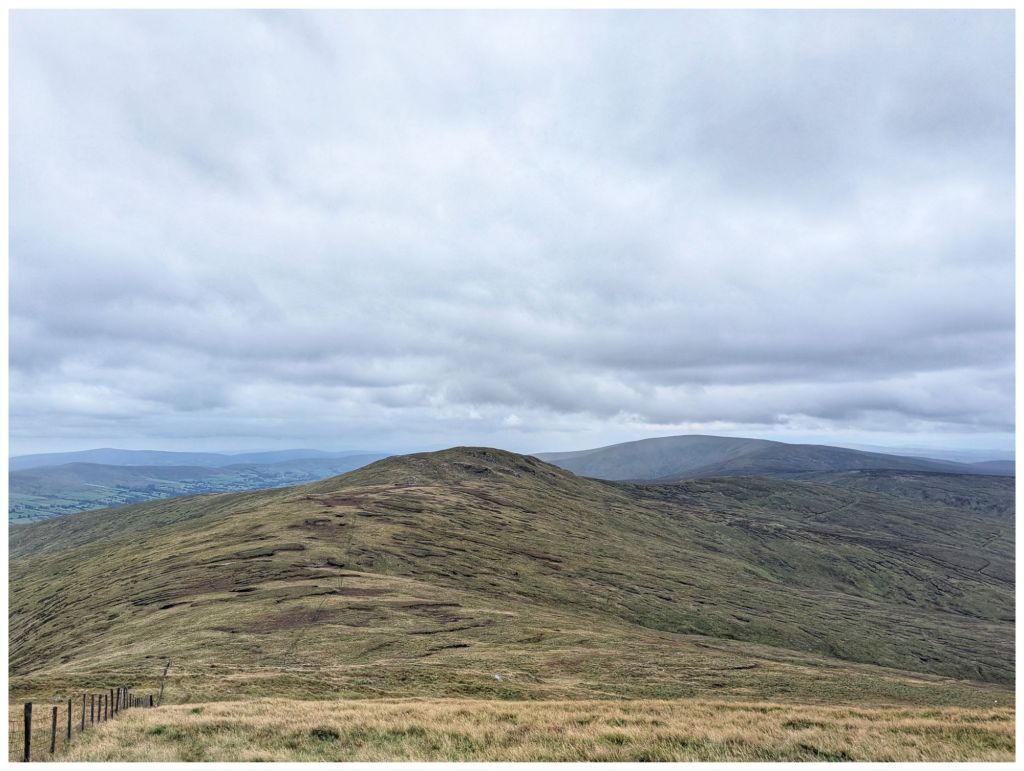
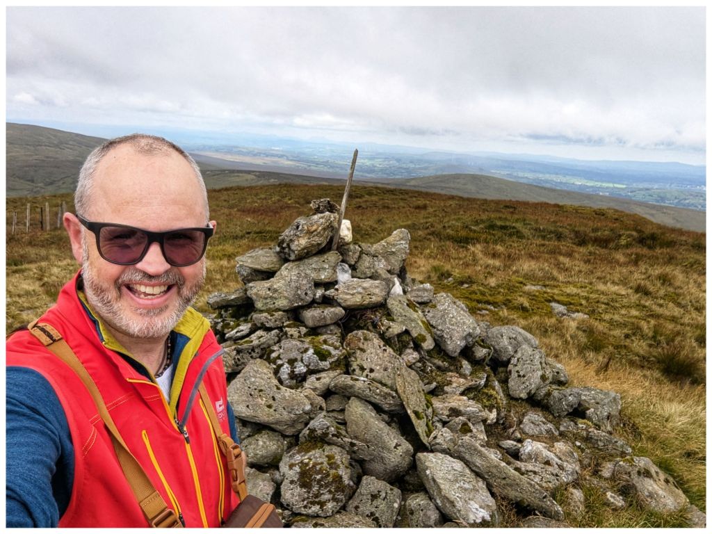
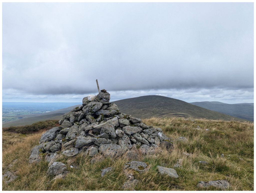
In my last post I spoke about finding a Tshirt and bag at the side of the trail on a trip to the Mourne Mountains. It bugged me at the time and it continued to bug me over the next couple of days. I wasn’t sure about my response and I wasn’t happy that I’d dealt with it properly. So, I reached out to Mourne Mountain Rescue for advice.
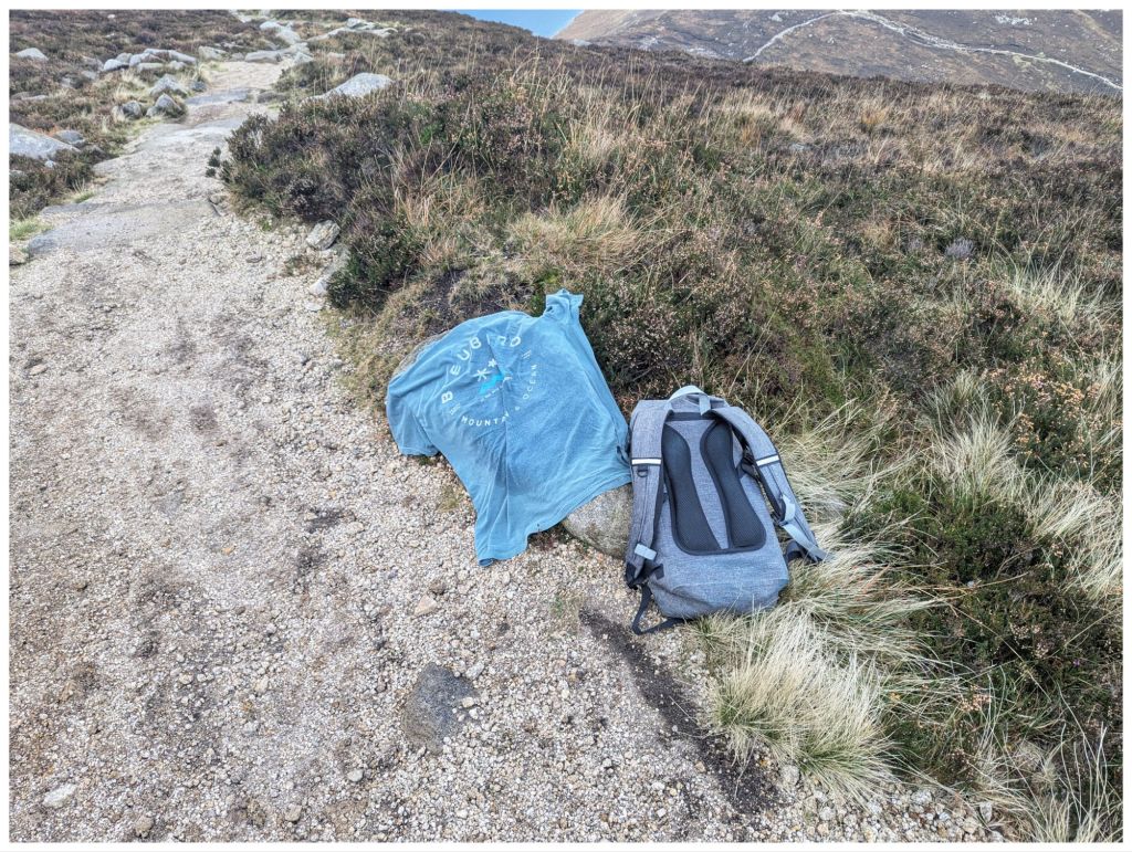
The offending bag
This was their response:
Hi Niall,
It’s a worthy concern, and although people do surprisingly leave stuff lying around, including rucsacs/clothing etc, they can also be an indicator of someone’s location who may be in difficulty.
Thankfully nothing has been reported that may be related to your find but for future reference, just to ease your concern, simply report it through to the Police on the 101 number. Hope this helps?
So, my initial reaction was correct but I should really have followed through and called the Police there and then. At least if I’m ever in a similar situation I’ll know what to do.
Interesting Notes:
He asked for the Grid Reference anyway. It was very casual but I got the feeling it was one of those “just in case” questions. I suppose it’s always possible that someone could be missing and not yet reported.
There is no 101 Non Emergency phone number equivalent in the Republic of Ireland. The advice is to look up the landline for the local Garda station and report it that way. If there is an immediate concern for someone’s safety then it’s 999/112 as an emergency.
On Saturday night I packed my bags and even made my lunch for an early getaway on the Saturday morning. The plan was to leave about 6am and be walking by 9am, just ready for the weather to clear. Nope! Didn’t work out. I woke a couple of times during the night with the storm but at 4am it was howling and thumping down with rain. I couldn’t see how it would be clear early enough to drive safely never mind head into the hills. So, I turned off my 5am alarm and slept on until 8am. The weather at that time convinced me I’d made the right decision. When the boys went out later at 11am for a match they encountered this which further confirmed my 4am call.
Looks lovely but it was still blowing hard I didn’t even make it to there!
My one consolation for spending a 4 day weekend mostly confined to barracks, was the forecast for this weekend. By Wednesday it was pretty clear it was looking good and fast forward to 9:30am yesterday and I was finally parked at the Silent Valley ready to go. Catriona was also heading to a Tryka event in Dublin. She was pretty nervous about it so I planned an hour later than last week so not to disturb her too early
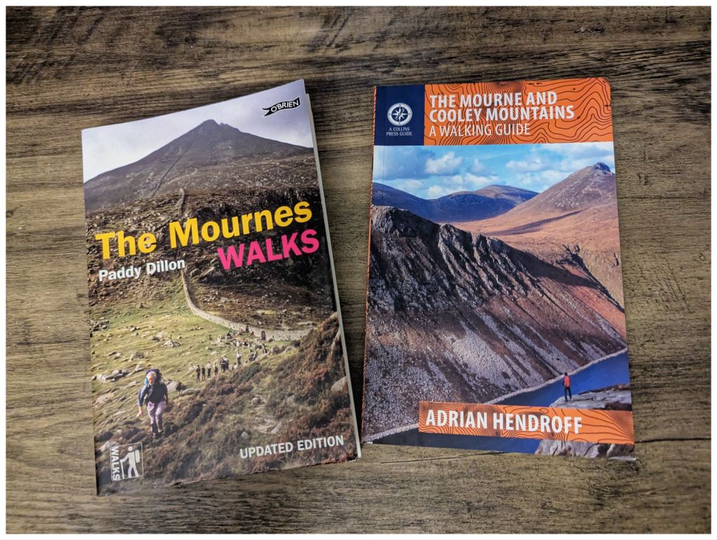
The route I had chosen was #10 from Adrian Hendroff’s excellent book The Mourne and Cooley Mountains. A Walking Guide. He doesn’t provide GPX files for his routes but I found two similar ones on Mountainviews.ie and OutdoorActive that also gave me a digital route to follow.
Packing for this trip I was expecting to be cold. However, it was surprisingly mild at the car park and I quickly decided to swap my heavier merino top for a much lighter option with a couple of optional layers in my bag.
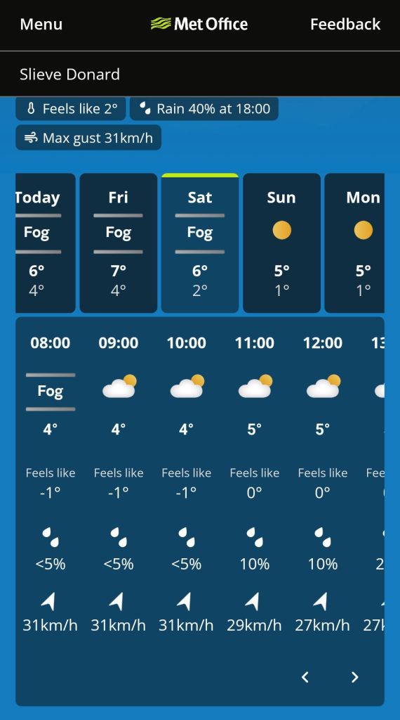
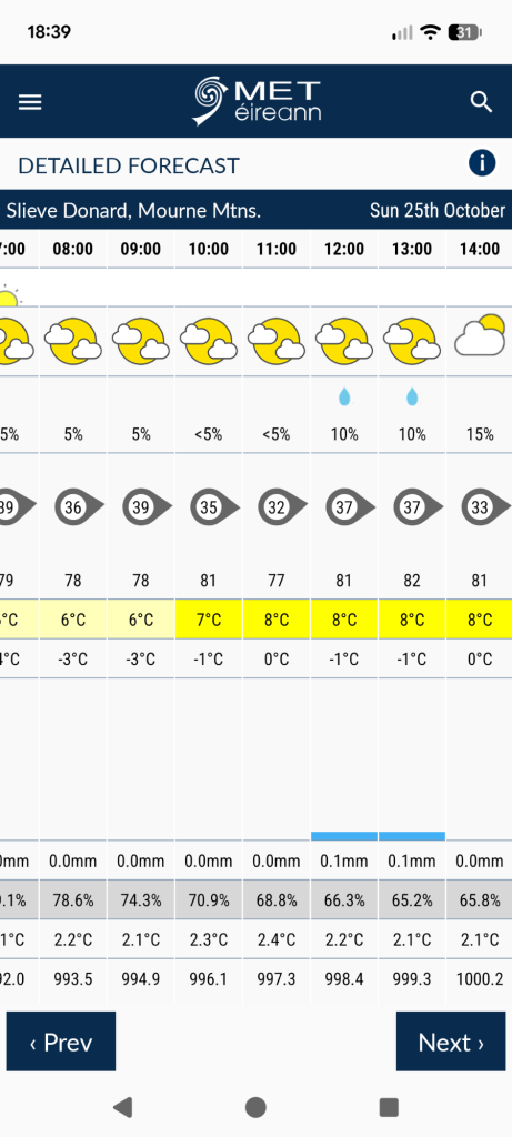
Pessimistic Met Office forecast
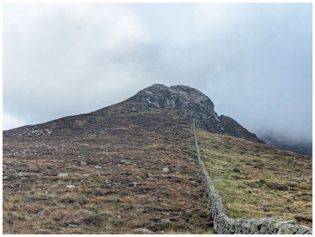
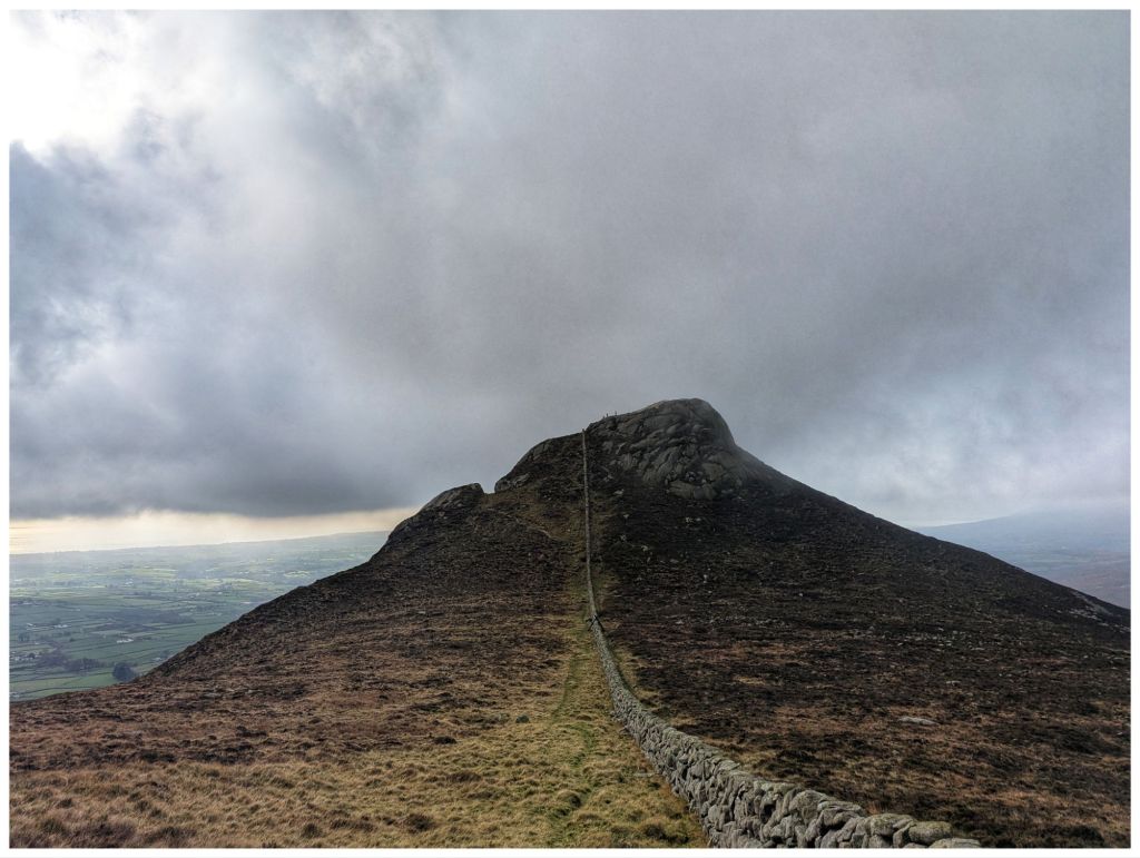
Leaving the car park I was quickly on to a nice little narrow track that wound along the base of Moolieve for a few hundred metres. The easy start was short-lived though as I turned off along the Mourne Wall and straight into a pretty steep climb. The path was clear, winding through the heather and with some nice rocky sections closer to the wall. The wall provided some handy support on the steeper sections. As always a steep climb rewards with quick views.
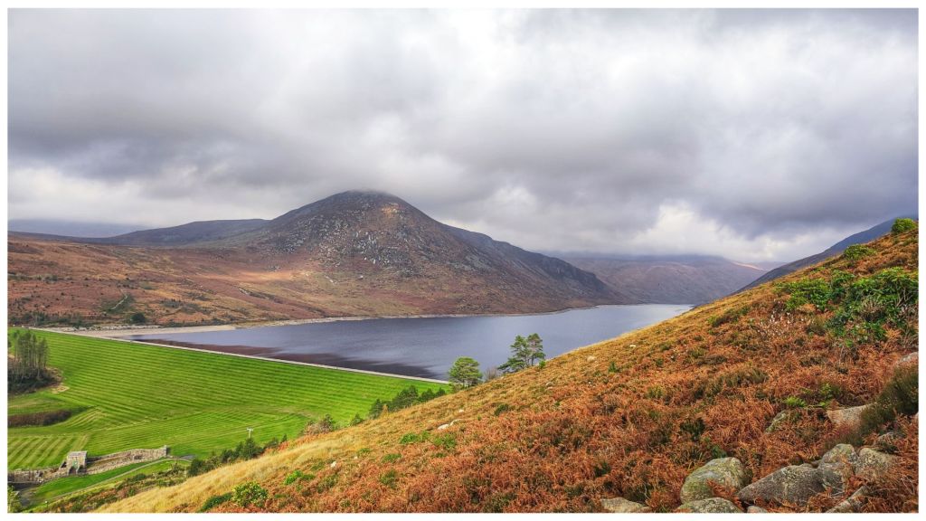
Silent Valley Reservoir with Slievenaglogh in the background
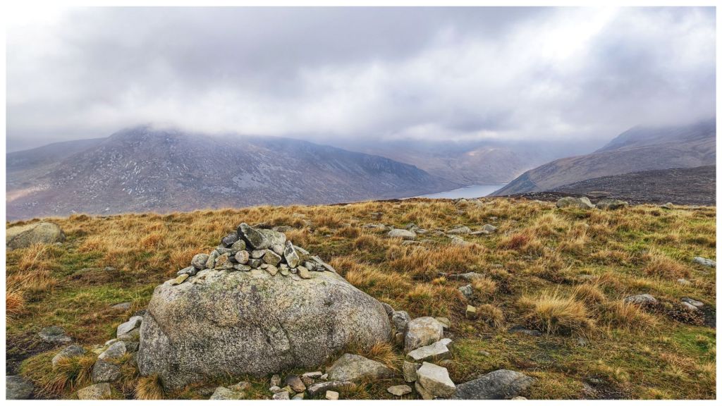
Moolieve at a modest 332m isn’t recognised as a proper summit but it’s a nice climb with a marker cairn that is a repurposed rock in the right place.
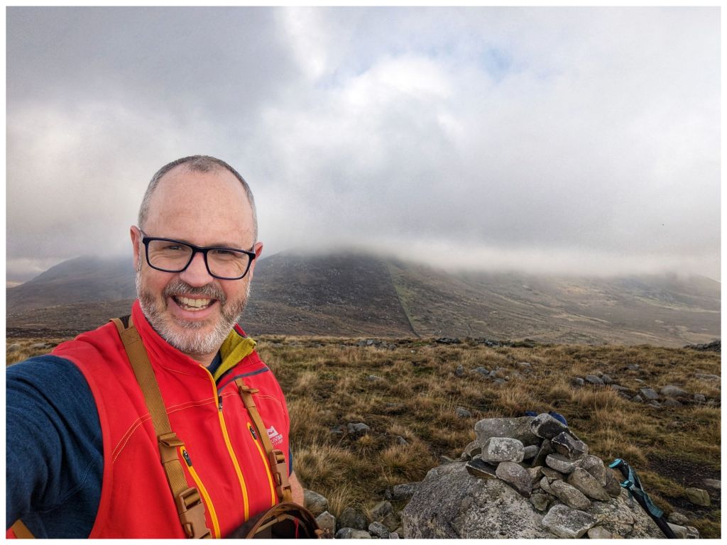
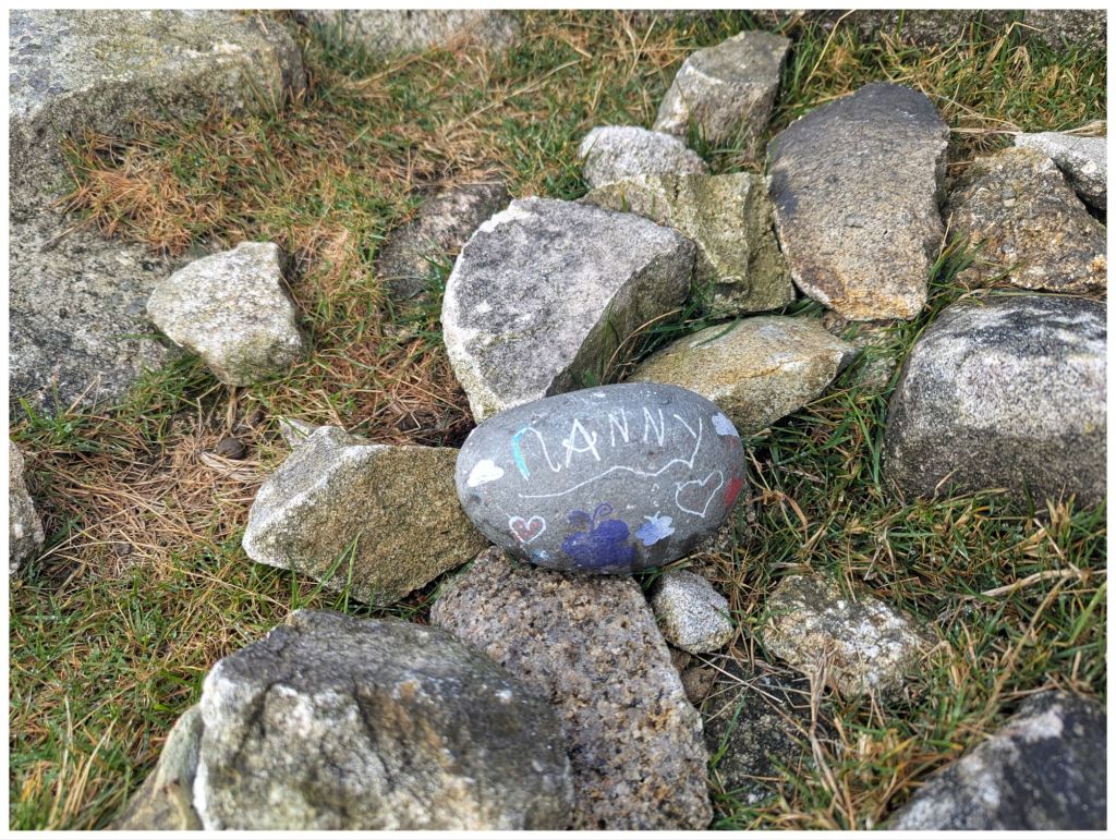
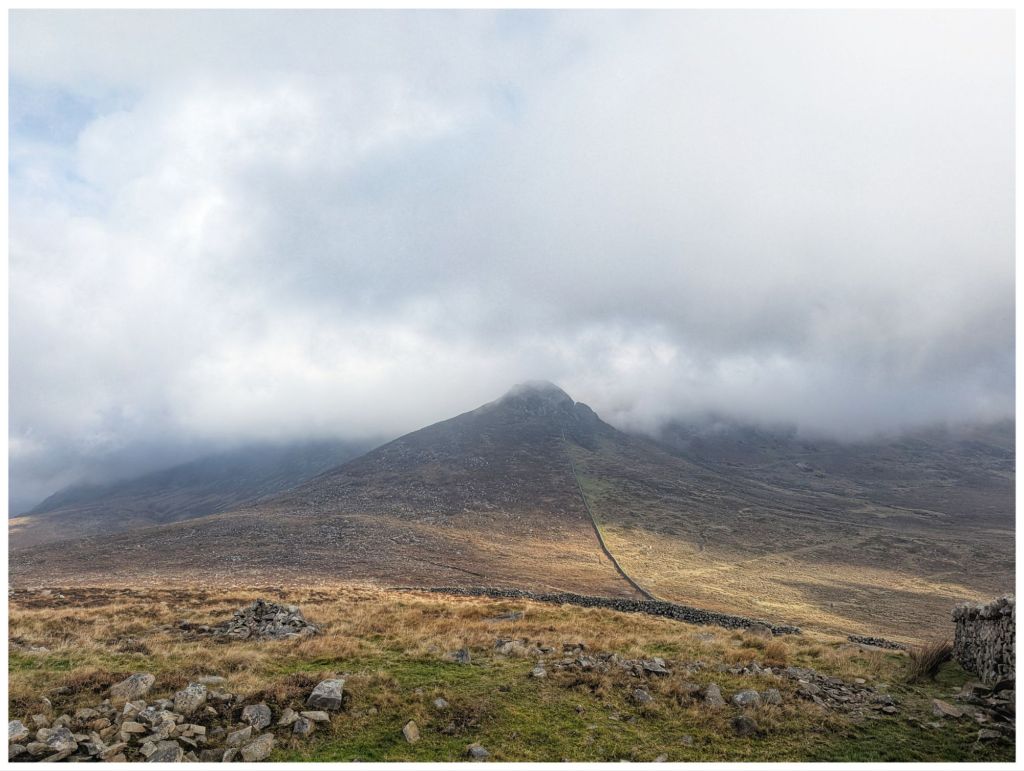
Wee Binnian hiding in the cloud A touching memory stone in the Moolieve cairn
The climb up had been pretty warm and any slight breeze was being blocked by the wall on my right. Looking ahead I knew I was in for similar for most, if not all, of the rest of the walk so the merino top was soon in the bag and I was down to short sleeves. I really didn’t expect that on Halloween!
Still following the wall there is a drop into the col between Moolieve and Wee Binnian. This summit was the reason I picked this route. I’ve been to the top of Binnian a few years ago but it bugged me that we didn’t have an opportunity to get across to the smaller neighbour.
In this col I had the only wet ground of the whole day with a seep spreading across the thin layer of peat over the rocky substrate. Nothing to write home about and I was glad I didn’t bother with gaiters today.
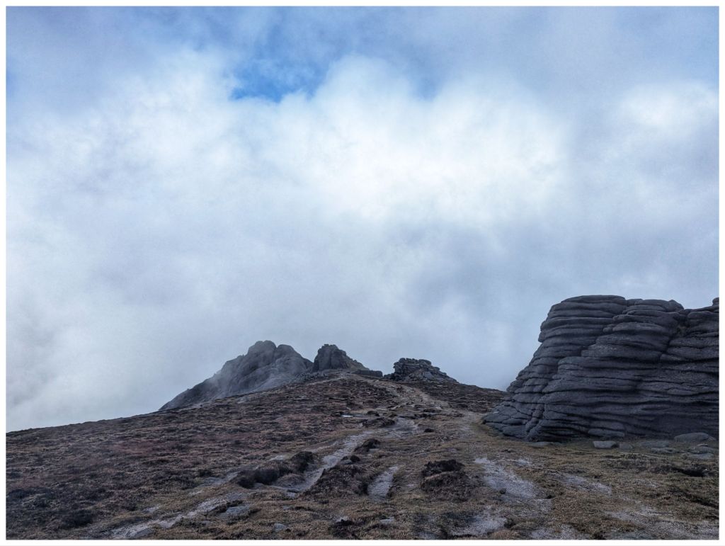
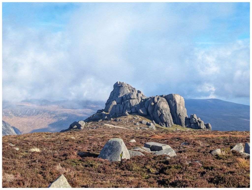
After the short reprieve the climb up Wee Binnian is pretty full on. A very similar path as Moolieve with the clouds coming and going to give me tantalising views of the rocky summit.
Clouds lifting as I dropped off Moolieve Clear views as I started the climb from the col
Just below the summit there’s a short and very enjoyable scramble across the gritty rocks to a very satisfyingly rocky top. Unmarked due to the nature of the summit but not hard to work out the official highest spot.
Wee Binnian (460m)
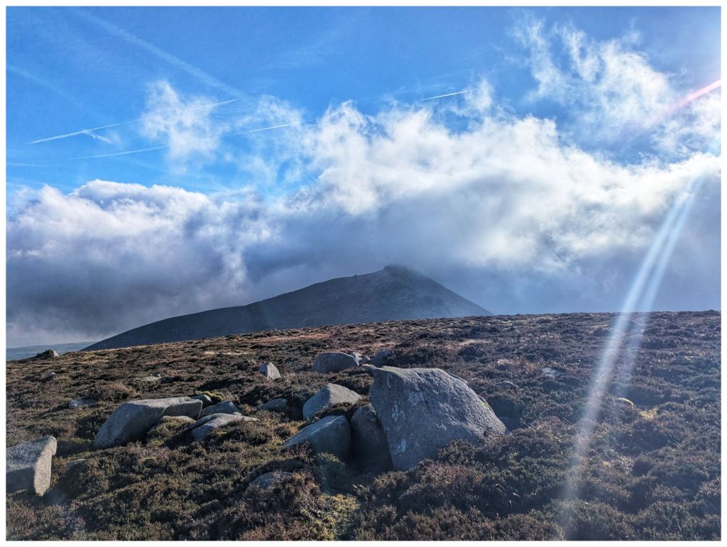
Standing on the edge of Wee Binnian, Binnian itself was hidden in the clouds. Looking down the short, steep drop to the col between I could see a group of 3 people. Apart from dog walkers in the car park this was the first people I’d met all day. This time sticking to the right of the wall we passed each other at the halfway point. They were in good spirits, disappointed at the lack of views on Binnian but I think I cheered them with a positive description of Wee Binnian.
Wee Binnian fully cleared. If you zoom in you can see the 3 of them on the ridge. Still cloud free but disappearing as I climbed into the cloud on Binnian
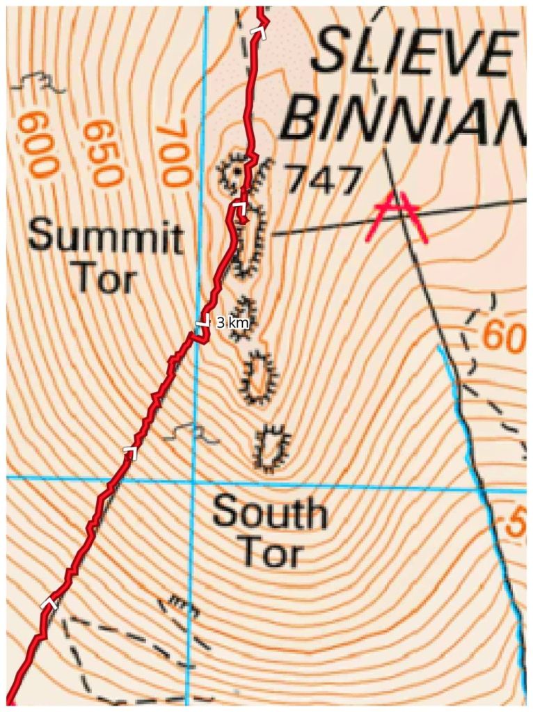
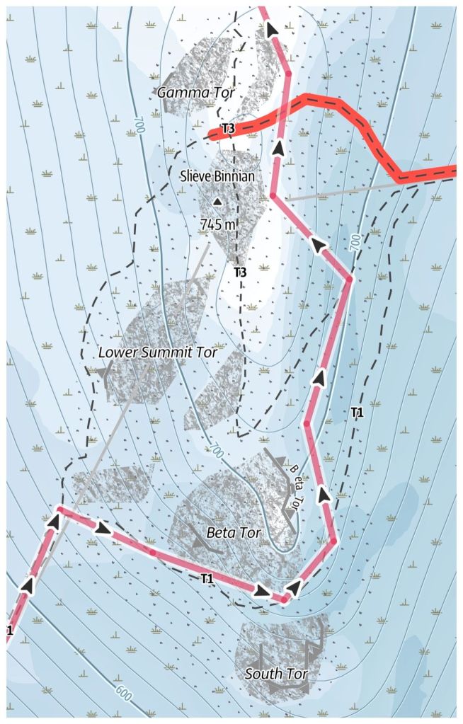
Before leaving Wee Binnian I had to make a route decision. The Mountainviews.ie route stayed to the left while Adrian Hendroff and the Outdooractive route chose the right. I opted for the right as it looked more defined as it navigated the rocky summit approach.
Option 1Option 2
The climb up Moolieve and Wee Binnian was just a warmup for the climb up Binnian proper. This was full on and very steep. After a short heather and grass section I was soon into rocks with some small scrambles. A couple of trickier sections were easily bypassed until I finally decided to embrace the climb and tackled all the scrambles head on. I haven’t much experience of this kind of climbing and despite knees and legs that complained about the unusual activity I really enjoyed it. The rocks here are a course, gritty granite and combined with the Mourne Wall, handholds and footholds were extensive and secure.
Eventually, I reached a huge rock that blocked the way and leaving the wall I swung right towards one of the summit tors. There are 5 tors in total and all with their own names.
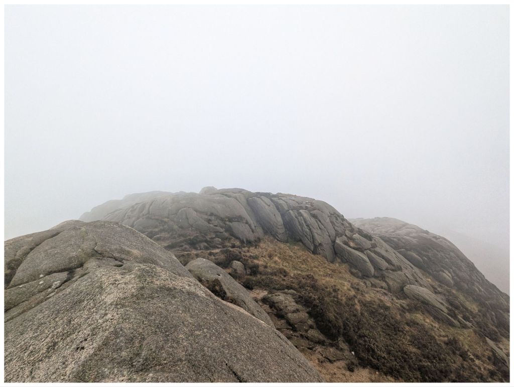
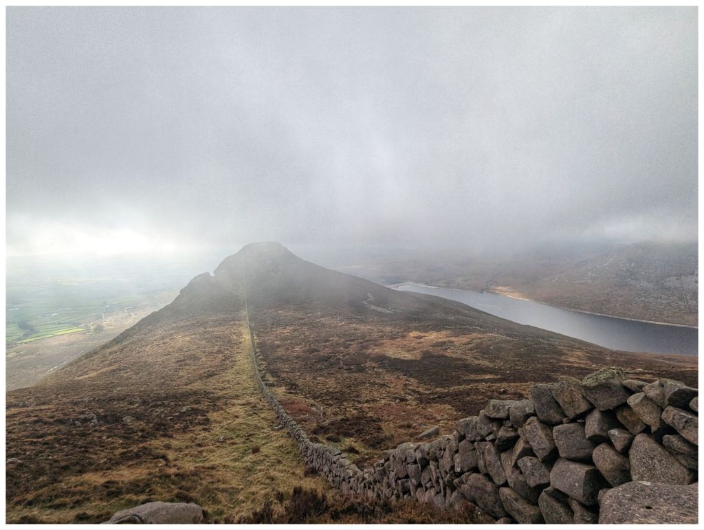
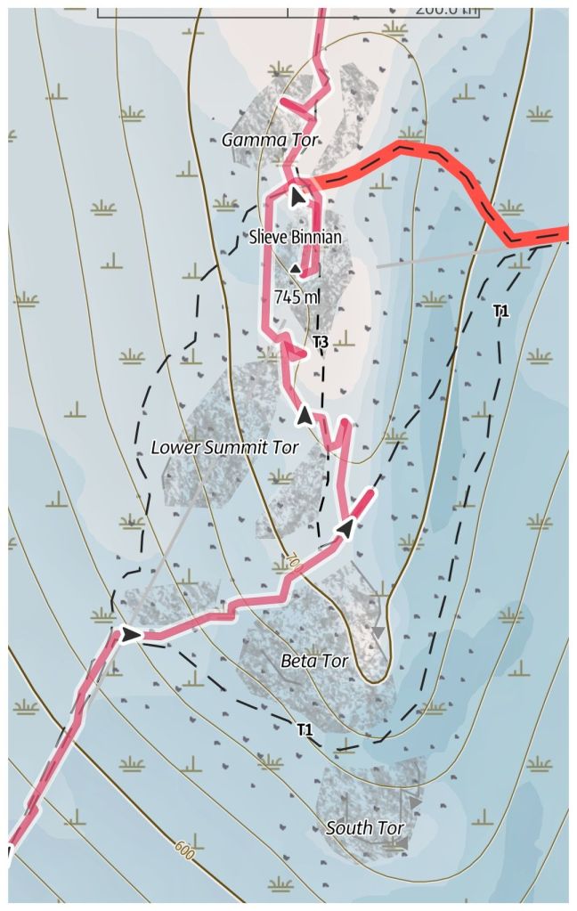
With the thick cloud it was difficult to work out where the faint path was heading. Relying on the guide book description and my own instinct I ended up climbing the little gulley between Beta and Lower Summit Tors and coming out on the little grassy col between the two.
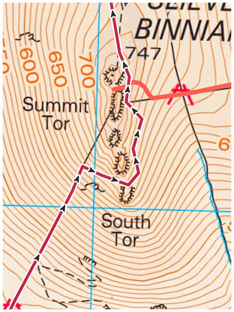
As this is definitely a route less travelled and in the poor visibility (less than 100m) I first of all took the wrong track trying to get to the summit, had to retrace my steps, took a couple of different tracks and eventually connected with the path that came up the left hand side of the wall! This gave me an easy track to the rocky gap between the main Summit Tor and Gamma Tor.
My convoluted summit approach and wander
This all sounds way more difficult than it was and I actually really enjoyed trying to navigate in the bad visibility, relying on the map, ground indicators and direction bearings. I felt confident and safe at all times, positive I could reset if I went wrong.
While trying to find the best route to the summit I could hear voices off in the mist, of people climbing up the usual route from Carrick Little. As I arrived at the gap between Gamma and Summit Tors two young lads arrived just before me to be quickly joined by a woman and two more teenagers. Not often I see a woman (without a male partner) and/or teenagers in the hills and it was really encouraging to see them so relaxed in the environment and really enjoying themselves. Hopefully, all the kids grow up with a continuing love of the mountains and outdoors.
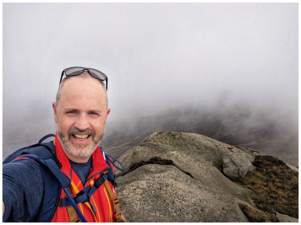
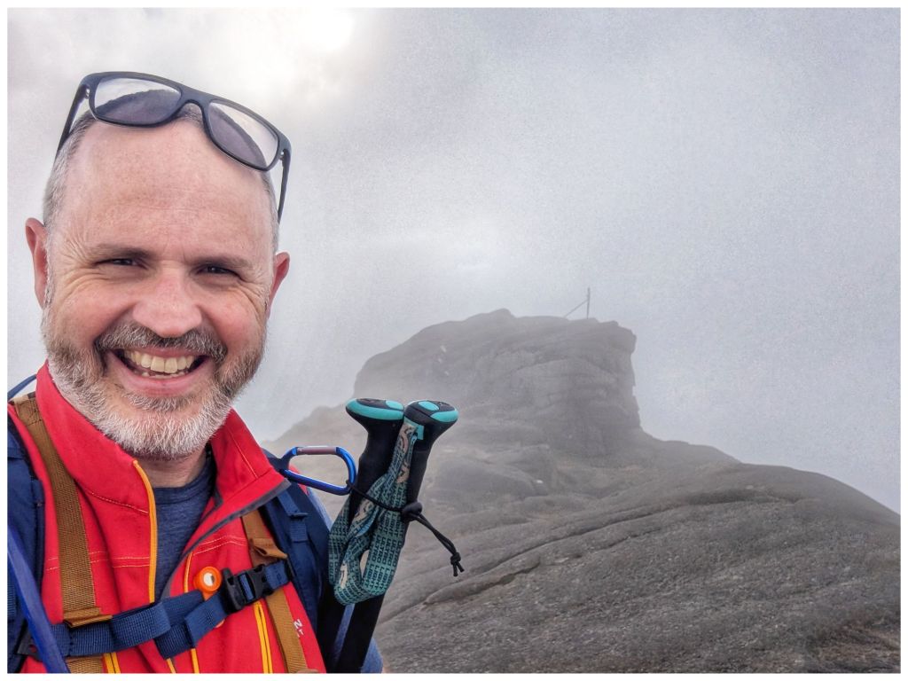
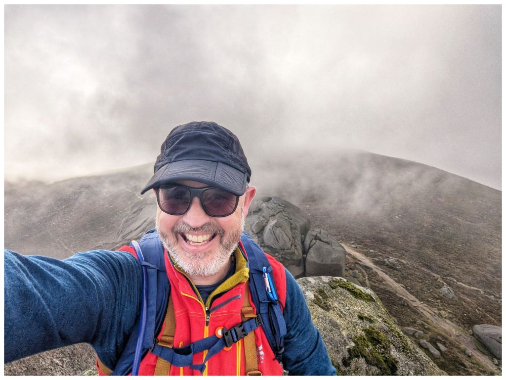
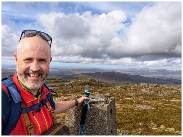
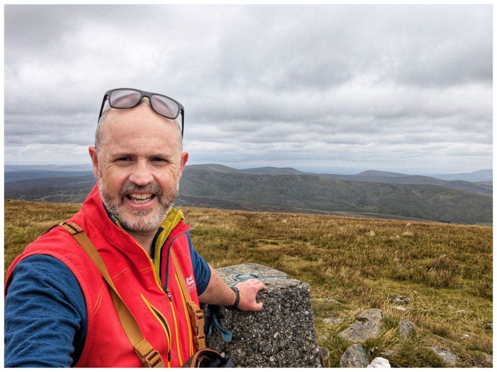
I scrambled up to the summit but no views today. I was just about able to get a summit selfie and had to be content with my memories from my previous visit to this spot just over 3 years ago.
No views today!
This is a video I made of that previous trip. I’m pretty sure that’s Wee Binnian and Binnian in the second drone shots and the Binnian summit is from 8min 20sec. My first and only experience of a cloud inversion.
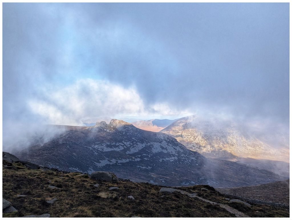
The family group were having lunch at the summit so I headed on over the ridge towards the smaller rocky tors called The Back Castles. I found a place tucked in out of the breeze and settled down for lunch. I was rewarded with drifting clouds that lifted and closed giving me tantalising views of the valley below and the higher surrounding summits.
Approaching The Back Castles
Lunchtime views
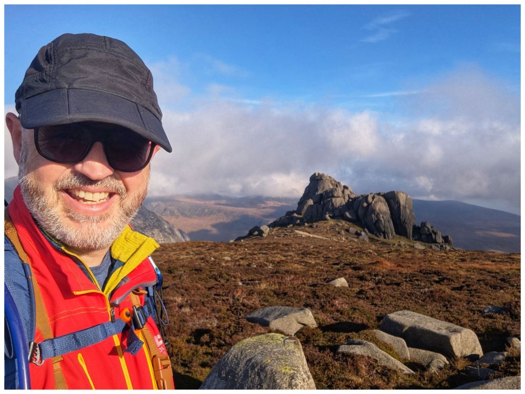
Following along the ridge there is a clear rocky path. This doesn’t cross the slightly higher point that is registered on Mountainviews.ie as Binnian North Top and marked on the OS maps as Point 678. On the previous visit I wasn’t aware of it so I made sure to divert across today and tick it off my summit list. It’s a broad, slightly rounded top with nothing specific to mark the highest point so I picked a likely candidate rock and made that my marker.
Looking towards the impressive North Tor Back towards Binnian Binnian North Top “summit” selfie
Returning to the main track brought me to the base of the massive North Tor. This clump of rock towers rises 70m above the track and although it’s another Mountainviews.ie summit I was pretty intimidated. I did know that the best ascent is from the opposite side so I scrambled through the gap in the middle and started up the back with the intention of tapping out if it got too hairy. I was very aware that I was on my own and completely away from the view of the track if I had a fall.
I kept going, scrambling a little bit further and fully expecting to get somewhere well beyond my skills but before I knew it I was just below the top. I’m really not good with exposed heights but one last crawl on my hands and knees and I could see down the steep drop to the track below. I was absolutely elated with myself as I was sure this was not on the cards today.
The view North from the top of Binnian North Tor The big grin says it all!
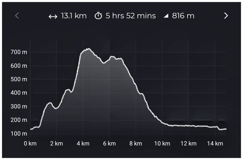
The North Tor was the last of my climbing for the day. The rest of the route was now downhill. The first section is down to the col between Binnian and Slievelamagan. Although descending sounds like it should be easy this was anything but. A steep and rocky path that descends all the way to Ben Crom Reservoir was very tough on quads and knees, especially after the exertions of all the earlier climbing.
Route Elevation Profile. Almost 500m decent in 3km
Not long after starting the descent I came across a bag and Tshirt set to the side of the track. The Tshirt was stretched out to dry the obviously sweaty back but it left me wondering what’s the correct response. I’m 99% sure someone left it here to make the rest of the climb a bit easier but a small part of me was worried that could turn into someone out of their depth and maybe lost on the hill without their gear. In the end I just took a photo and recorded the grid reference. My intention was to maybe share it with the police in case anyone was reported missing. In the end I forgot to do this but I’ve seen nothing online to say a walker is missing so I guess it was OK. Still wondering today what’s the appropriate thing to do?
What would you do?
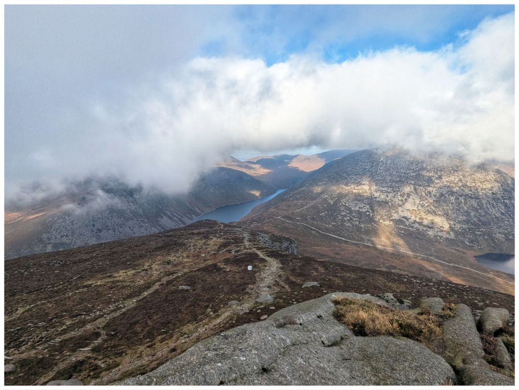
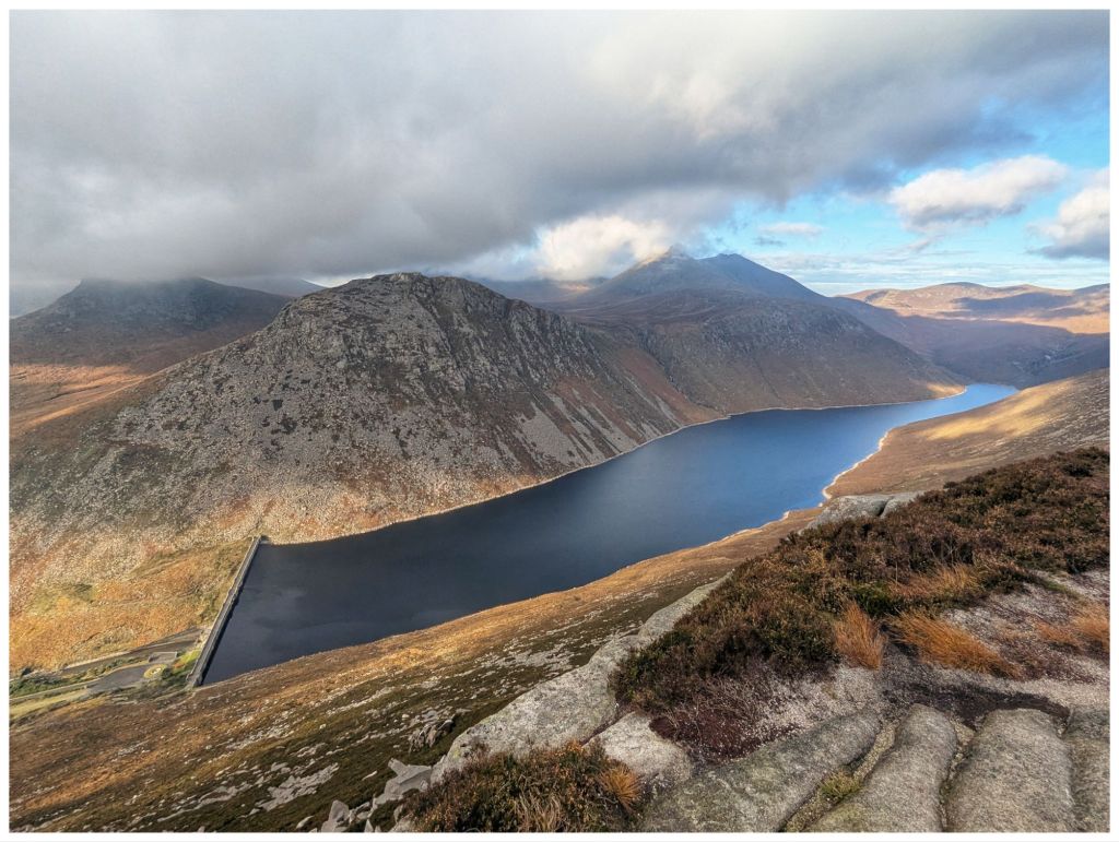
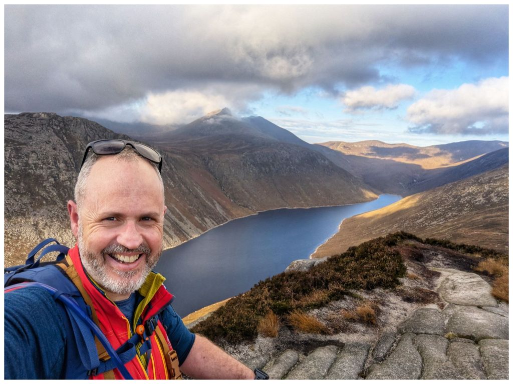
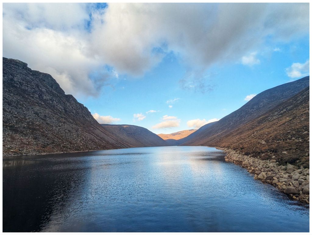
Not long into the descent is the most amazing viewpoint. A large rocky slab gives fantastic views out over Ben Crom Reservoir, across to Ben Crom Mountain and up the valley towards The Brandy Pad. Just stunning.
By the time I’d reached Ben Crom Reservoir my legs were suffering. The descent battered them and my knees in particular were moaning loudest.
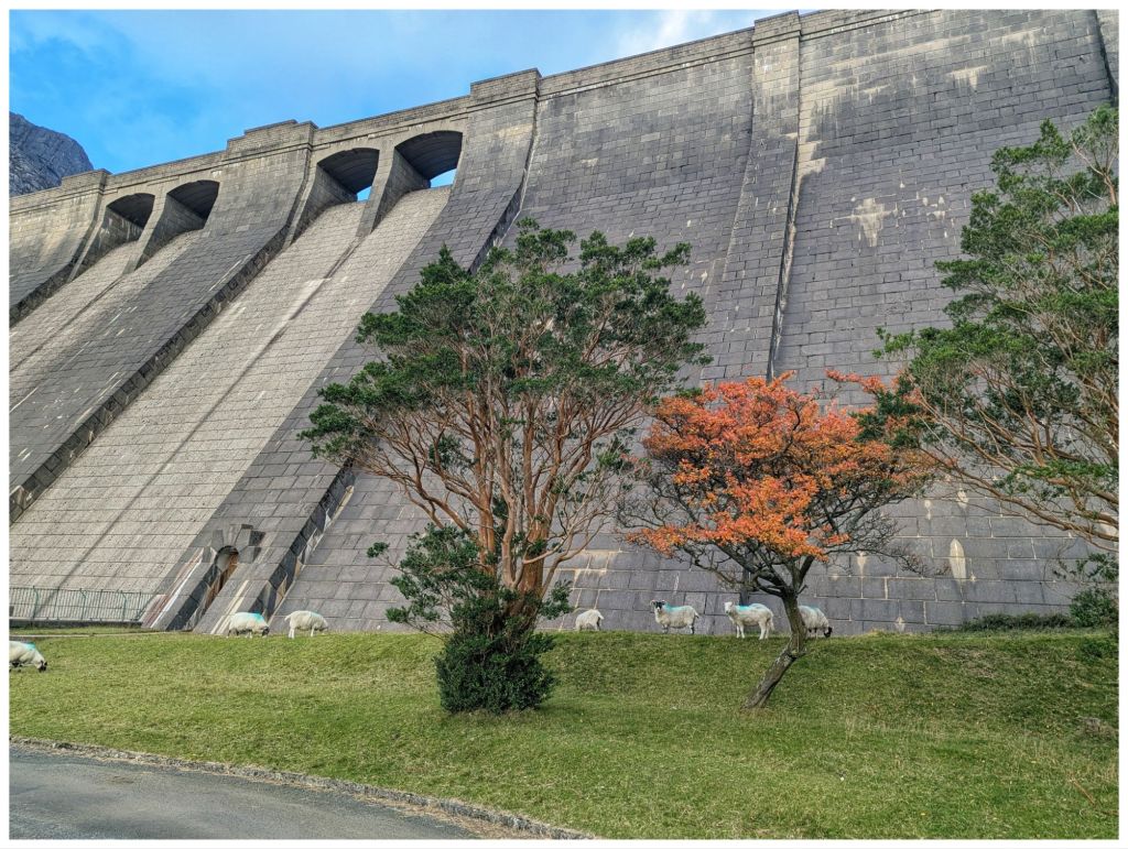
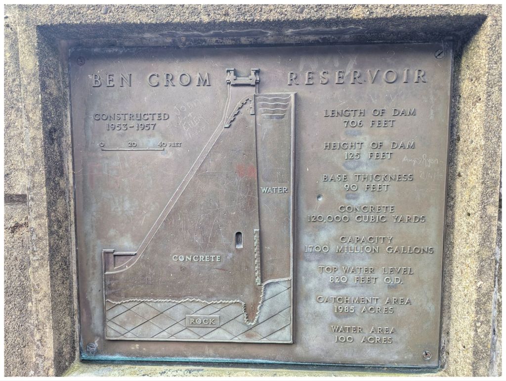
The reservoir is stunning from up high but the dam itself is an amazing feat of engineering. Standing at the base and looking up makes you feel very small indeed.
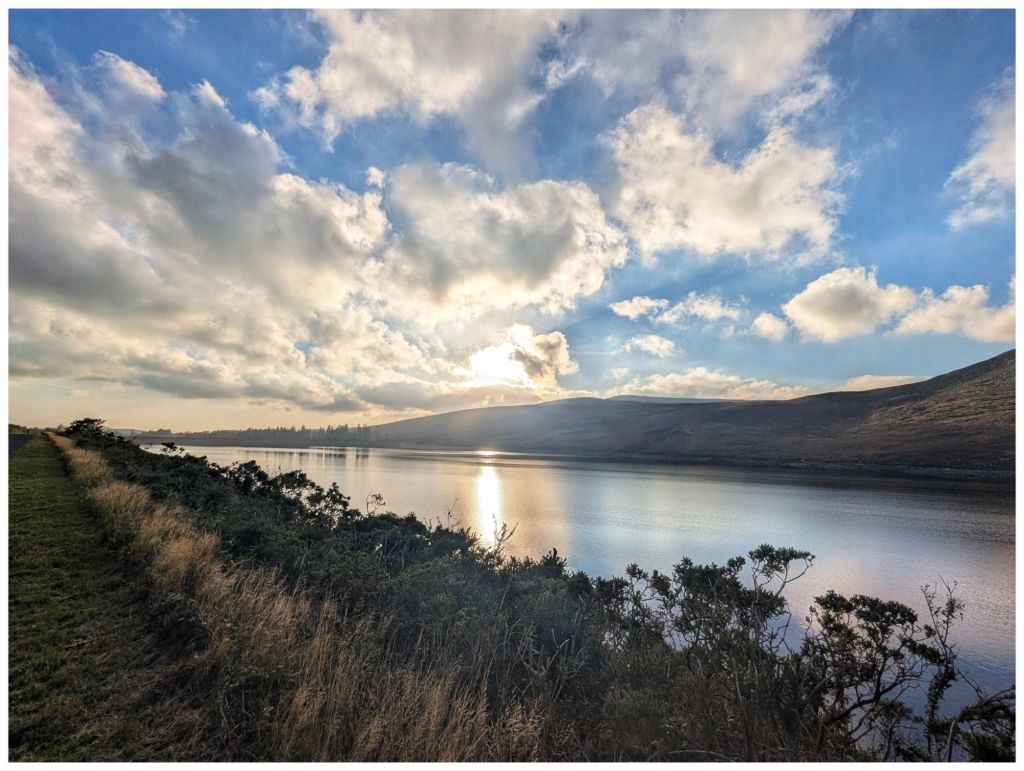
All the climbing and descending was now finally over and all that was left was a simple 4.8km walk back to the car park along the tarmac access road for the reservoir. This should have been easy and enjoyable with the mountains towering on both sides, the sun setting across the water and streams flowing down from Slieve Binnian. However, with tired legs and aching knees it became a bit of an endurance slog. Better planning would have seen me bring a light pair of trainers for this section as my heavy boots were a bad match for the tarmac road.
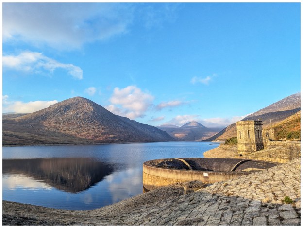
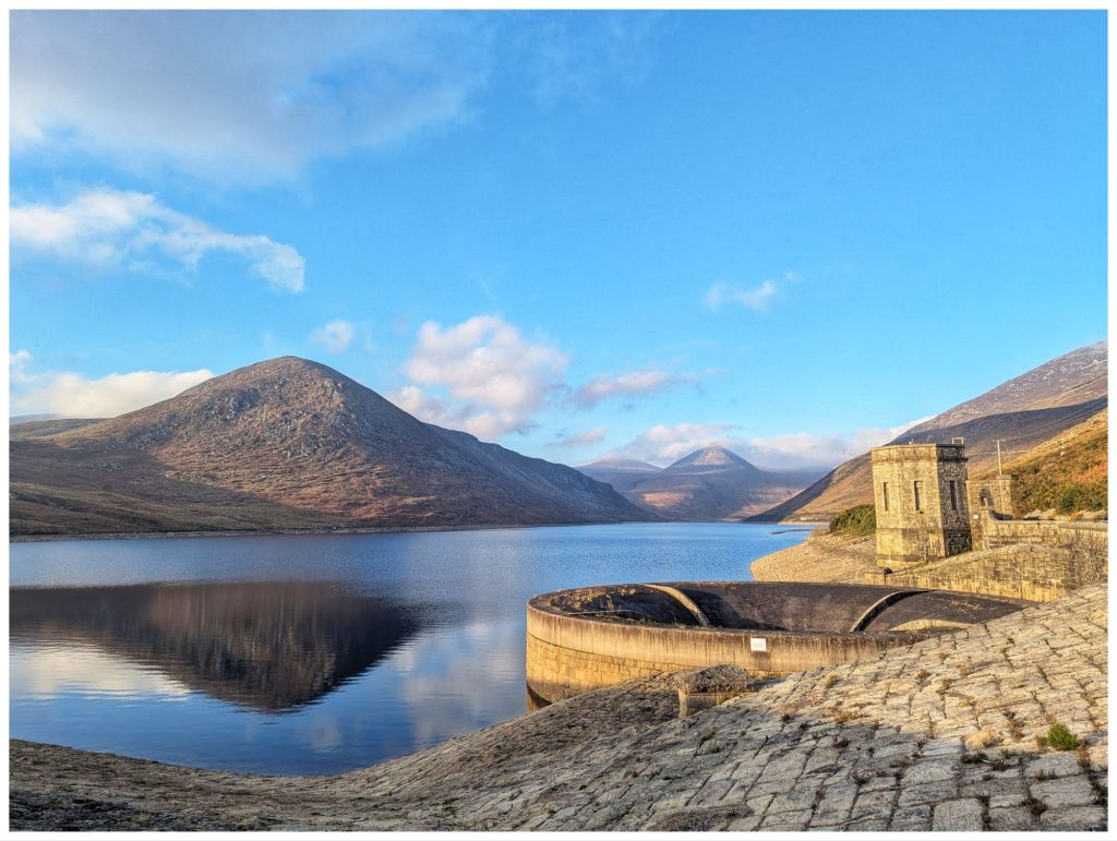
Ben Crom Reservoir from the top of the damSilent Valley ReservoirSilent Valley Reservoir from the top of the dam. The iconic outflow in the bottom right and Slievenaglogh on the left.
Despite this last section being much harder than expected I thoroughly enjoyed this walk. It was more challenging than expected but with that comes a great sense of achievement. This is my 5th visit to The Mournes and I have to admit I’m starting to fall in love with this place 💓
Today, while resting and recovering, I eventually gave into temptation and ordered yet another guide book for the area. It’s my third now and I have great expectations as it’s written by someone local to the area. I know I’ll be making frequent visits over the next few years so it’s money well spent!
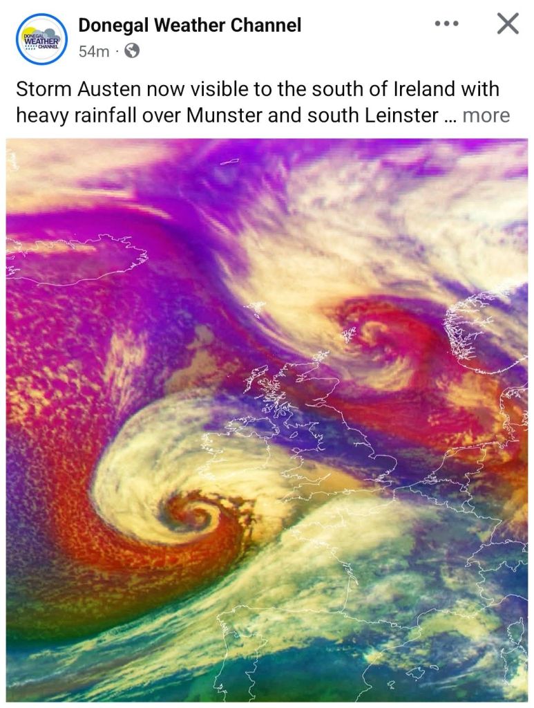
The Facebook algorithm was also doing its job today and served me up this video.
Monday is the Halloween/October Bank Holiday and in a supreme feat of optimism I also booked tomorrow off to have one last long weekend and hopefully get a load of cycling and hillwalking done. Unfortunately, the weather is determined to slap down those plans in dramatic style.
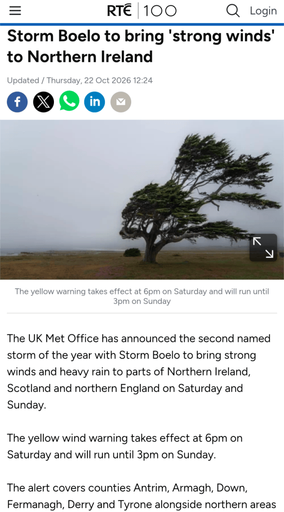
Storm Austen is coming through tonight, thankfully mostly missing us here in Donegal, but his pal Storm Beolo is following right behind and scheduled to hit the North West with a bang on Saturday into Sunday.
Made me think of this
Just to rub it in, tomorrow looks to be the best day of the weekend but I have the car booked in for a service. Hopefully, I’ll manage at least a walk in the local woods in sunshine.
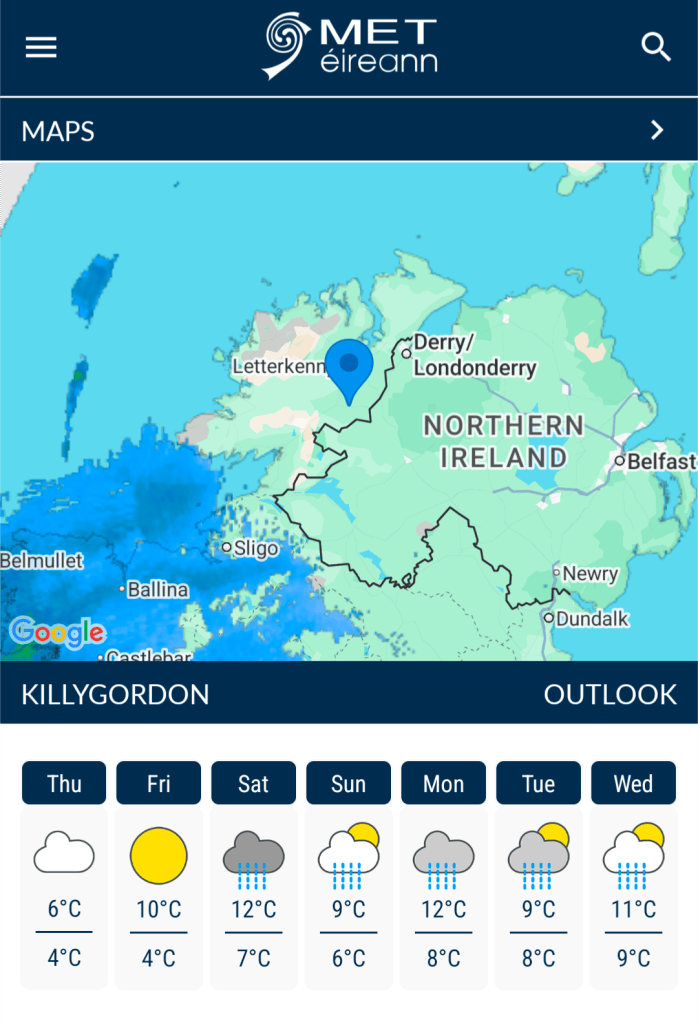
There is a slim chance that Sunday will be decent if I head East. I’ll look at it again tomorrow and Saturday but I’m making provisional plans for a walk in The Mournes on Sunday. So far, it looks like it will be cold and windy but mostly dry…
Paddy v Adrian. So far, Adrian is winning
Last Weekend
In stark contrast to a weekend full of yellow and orange warnings, last weekend was fantastically good. I attended another leader’s training session with the Bluestack Ramblers. This one was sponsored by Mountaineering Ireland so it was led by Paul Kellagher from Accessible Adventures Ireland.
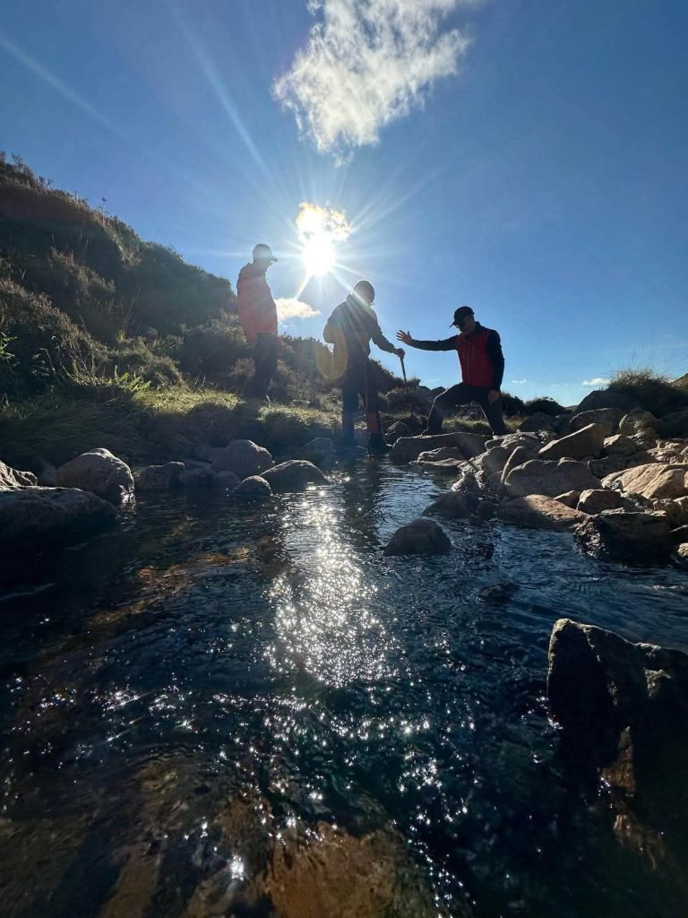
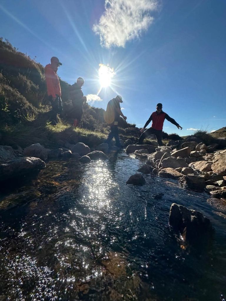
The focus was group management and covered various topics including river crossings and working on steep ground.
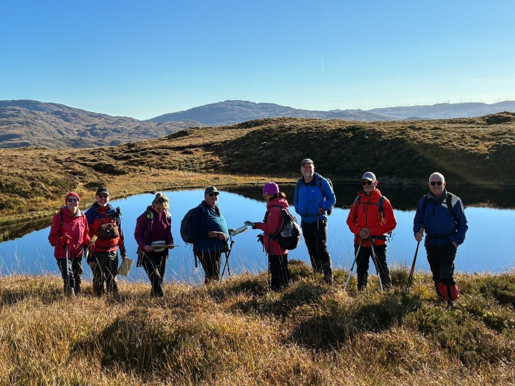
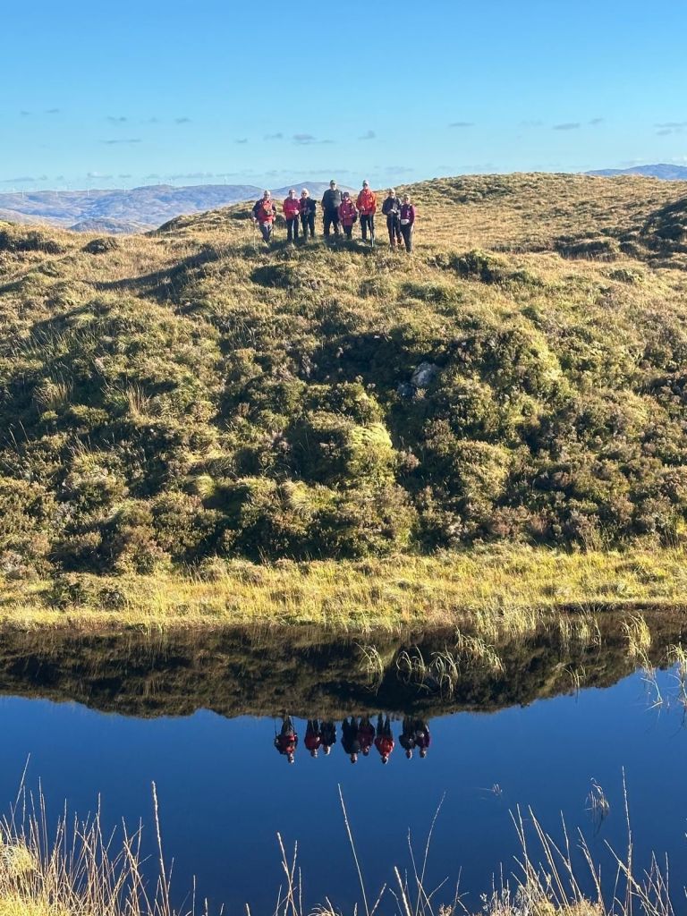
If we sent in a written request for the weather then it wouldn’t have been much better. One of those absolutely perfect Autumn days: clear blue skies and barely a breath of wind so lovely and warm in the sunny spells with no windchill 👌
It was a really enjoyable session and gave me a very different perspective on hillwalking, especially as a leader.
Check out Paul’s Facebook Post for loads of great photos but I particularly like these few:
I only managed to take two myself:
Hopefully I’ll get some more great photos on Sunday ☀️🤞
It’s been a difficult few weeks at work. Lots of rumour, worry and it turns out a lot more stress than I realised. Everything came to a head this week and I finally knew that everything thing was going to be OK and that my job was safe. Once this sank in fully I really could feel a weight off me both physically and mentally. On Friday evening I realised just how much stress I’d been carrying and the release of that left me feeling almost giddy!
Mourne Mountains
Despite, or maybe because of the stress I was out walking with the Bluestack Ramblers last weekend. It was a Club weekend away to the Mourne Mountains. I wasn’t able to make the whole weekend but I was able to make one day. With encouragement from one of the organisers I headed across on the Saturday morning. That day suited me best, it was the most interesting of the walks and the weather looked decent. Thankfully I did pick Saturday, as Sunday turned into a complete washout and that day’s walk was abandoned.
A 5am alarm saw me on the road for 6am and pulling into the Bloody Bridge car park shortly after 8:30am. On the way I realised that I was just 15min from one of my regular shop calls and that a trip to the Mournes should be a much more regular excursion for me. I’d always felt that it was a much bigger journey and one that needed an overnight stay. I was in bed early on Friday night and had a solid 7 hours sleep. If I’d camped or slept in a hostel I probably wouldn’t have got anything close to that. Expect more Mournes trip reports here from now on!
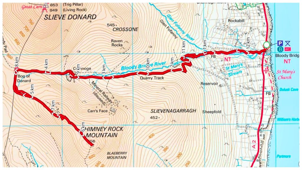
We weren’t meeting until 9am so I had loads of time for a second breakfast and to get ready. All I knew was that the walk was to Chimney Rock Mountain. It turned out to be a very enjoyable there-and-back walk up from Bloody Bridge to the Mourne Wall before heading up to the Chimney Rock summit at 656m.
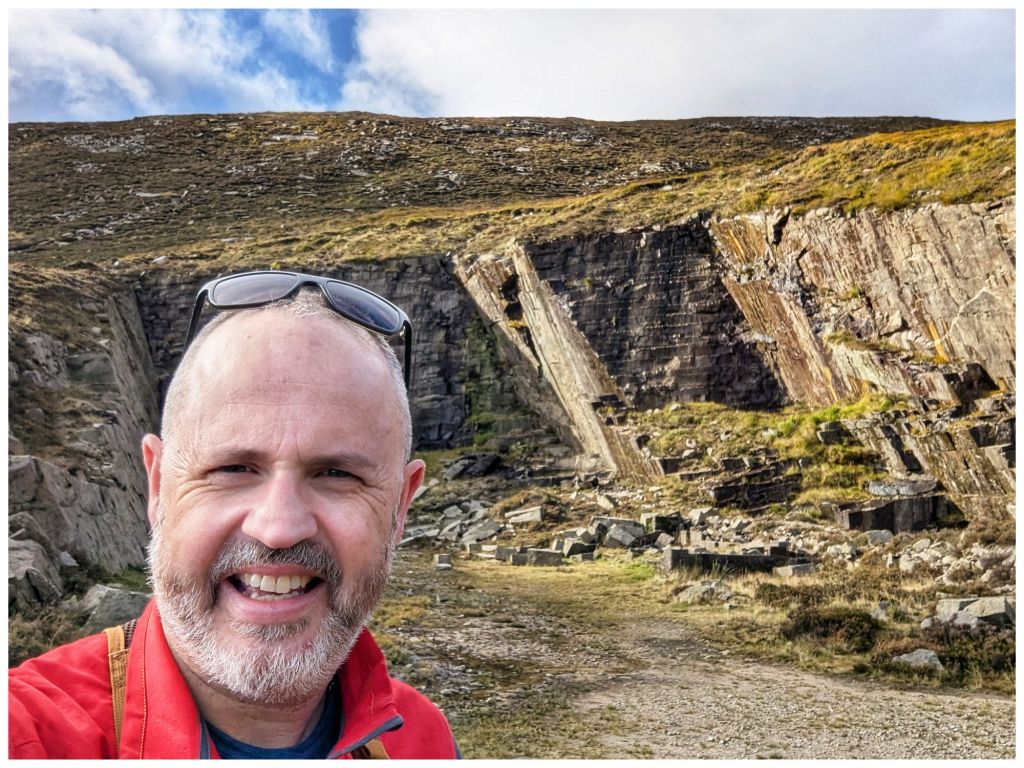
The walk up follows a rugged but distinct path along The Bloody Bridge River. Crossing the river at a very picturesque ford we picked up a wide gravel path that leads to an abandoned quarry where we had a short break before continuing on to the Mourne Wall along a rougher track once again.
From the car park and all the way up we had lovely sunny and warm weather with barely a breath of wind until just below the crest close to the Wall. The weather was on the change though.
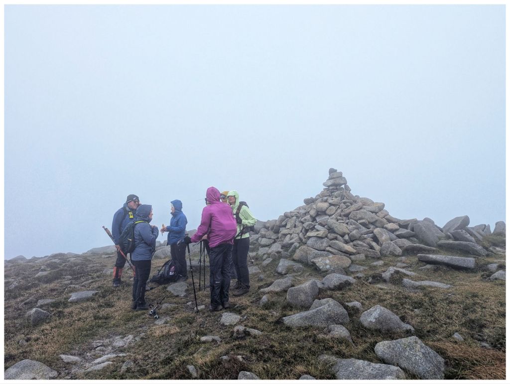
Leaving the Wall a layer was quickly added as the thickening cloud came in and dropped, threatening rain and bringing with it a significant breeze. The views were quickly disappearing and we were soon in the cloud from approximately 580m. As the cloud thickened further the wind picked up and with spots of rain and a significant windchill waterproofs, gloves and hats soon appeared.
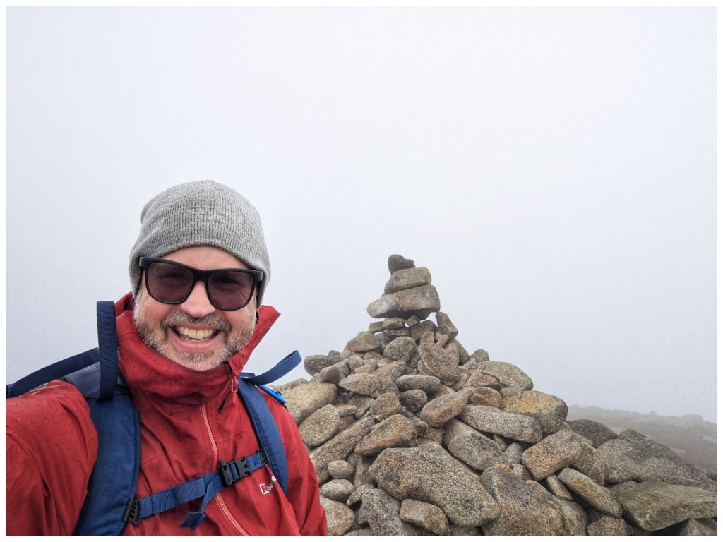
Chimney Rock has an impressive summit cairn but no views for us today as the weather had closed in completely.
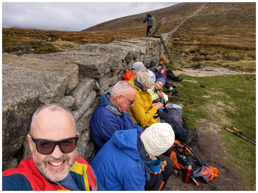
With a strong, cold wind we didn’t hang around long and were soon retracing our steps through the limited visibility. Conditions had worsened a lot but we dropped out of the cloud just above the Wall again. The Wall itself provided a perfect wind break for lunch as the clouds gradually lifted.
Fed and watered we headed back down to the quarry and followed the river back to the car park with the clouds continuing to clear and finishing once again in the sun.
A hugely enjoyable day out in good company in very different terrain than what I’m used to. Getting home just before 6pm only reinforced how accessible the Mournes are.
⛰️ Chimney Rock Mountain 656m 👣 12.25km ⛰️ 729m elevation gain ⏱️ 6hrs 1min total time ⏱️ 3hrs 47min moving time
Back In Donegal
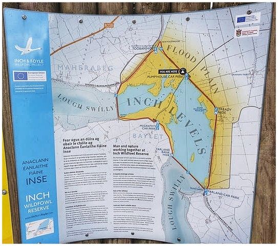
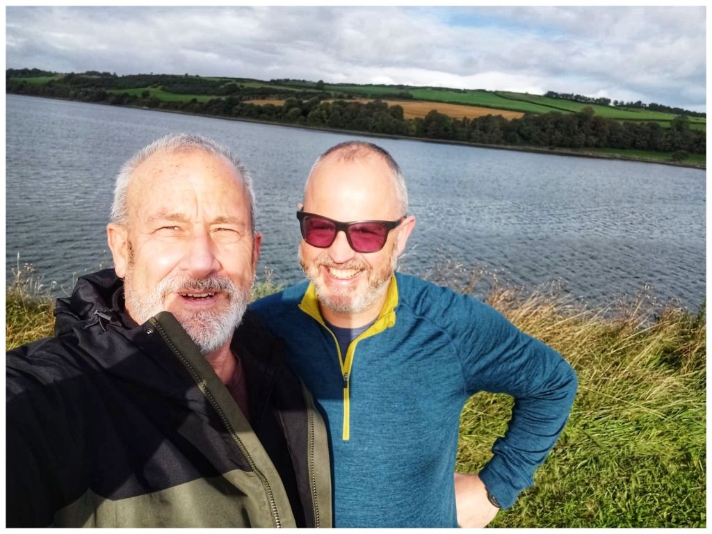
This weekend past I was closer to home. My best friend Jim was over from Scotland for a family wedding in Derry and we managed to carve out a couple of hours to meet up on Saturday morning. We headed for Inch Wildfowl Reserve and the loop walk there that explores both the coast and the island using the two artificial causeways.
It’s a great location. Lovely flat paths, well signposted with a good surface, toilets and a couple of hides. Also, lots of birds but neither of us are really ornithologists* and we are were too busy chatting and catching up after a long time not having met in person. Almost 8km in just over an hour and a half but it flew by.
*We did have one bird argument. I think I win and that it was a grebe but that may have been a win for confidence over truth 🫣🤣
Leaving Jim I headed straight for Fintown. I’m leading a walk up Aghla Mountain on November 1st. Considering the last time I was up there was November 2012 I figured I’d be better off doing a recce first!
Rosie was with me in 2012 💔
The car park is at the Glenties end of Lough Finn and driving out of Fintown Aghla rises impressively on the left, above the lake. When you get out of the car it’s looming directly above and feels more like a wall than a mountain!
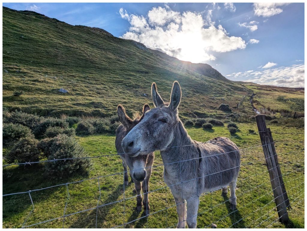
A short road walk along the Lough brings you to a gate beside a small house that marks the entry point to the hill. If you’re lucky you might make some new friends here…
They followed me for a bit until I crossed a gully
Hitting the hill after the gully and it’s straight into UP! The first section contours across the hill so it’s not quite as tough on the legs and lungs but soon after crossing a fence it’s straight up and even steeper. It’s not quite scrambling but not far off and I made good use of the poles to make sure of every step. I didn’t fancy sliding backwards on that slope!
The views come quick and fast on steep ground
Climbing up to and around the side of a rocky crag, towering above me, I finally made it to a flatter area to catch my breath. 2km in 1 hour including the walk in along the road!
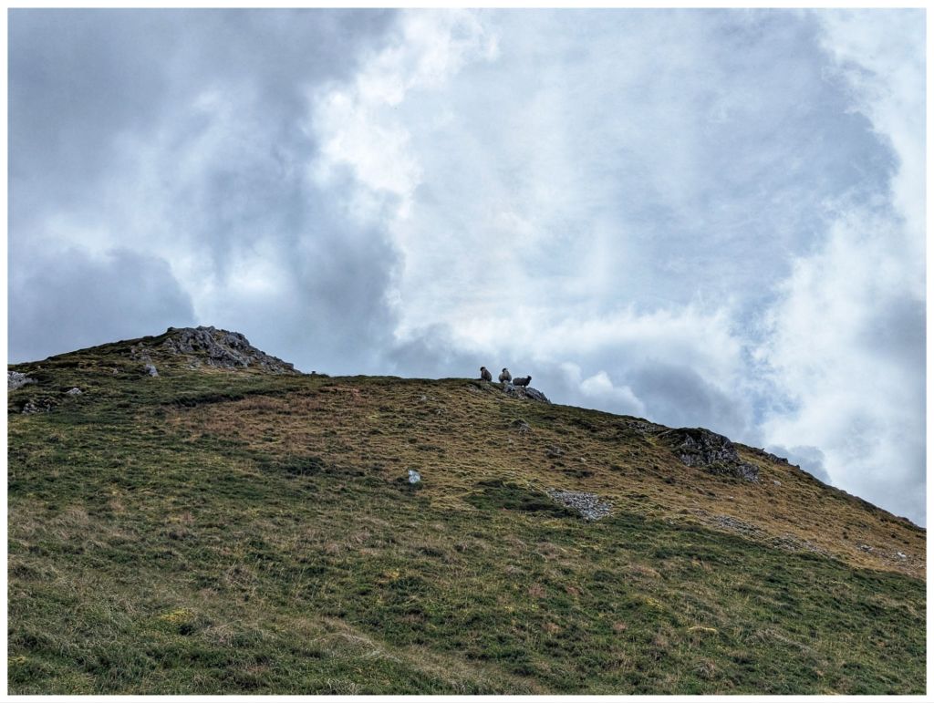
More locals keeping a close eye, not as friendly this time
Having caught my breath and settled my legs that were in shock after the easy 8km in the morning it was back to Up again. More steep, rocky and really enjoyable ground and I eventually reached a small rocky crag at 545m overlooking a pair of unnamed lakes just below. Another cracker spot to have a short break and a quick snack to make the final push to the summit. From the crag I could see the trigpoint on the rocky top.
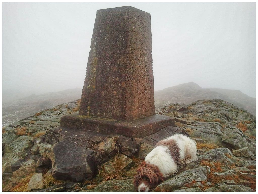
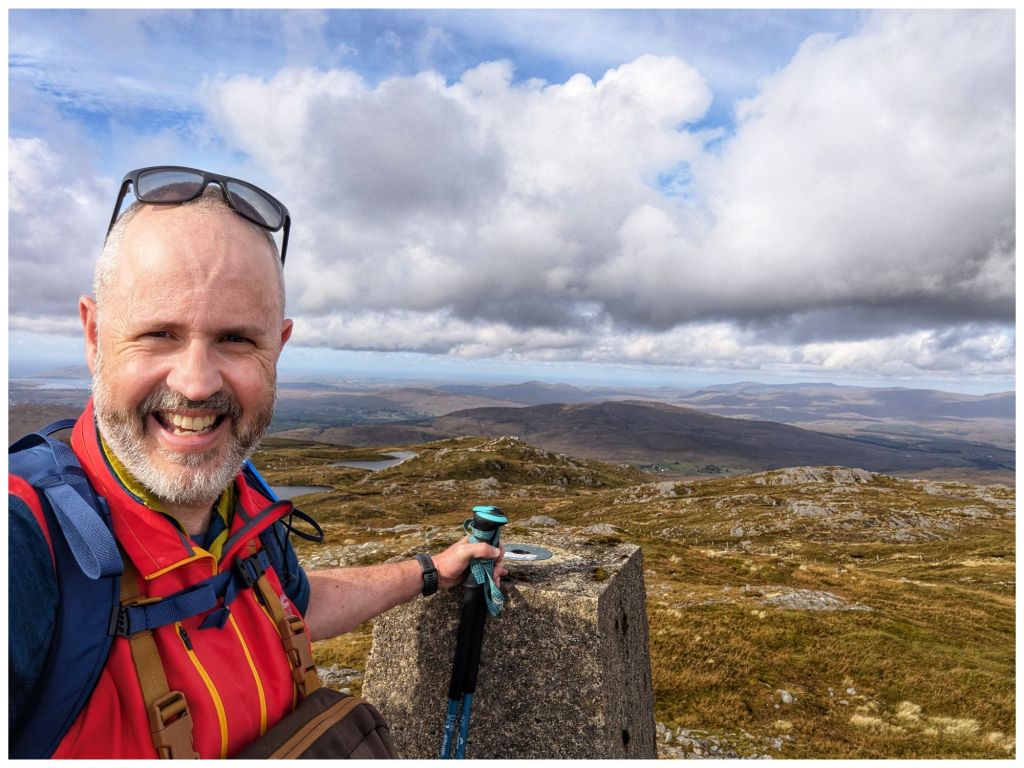
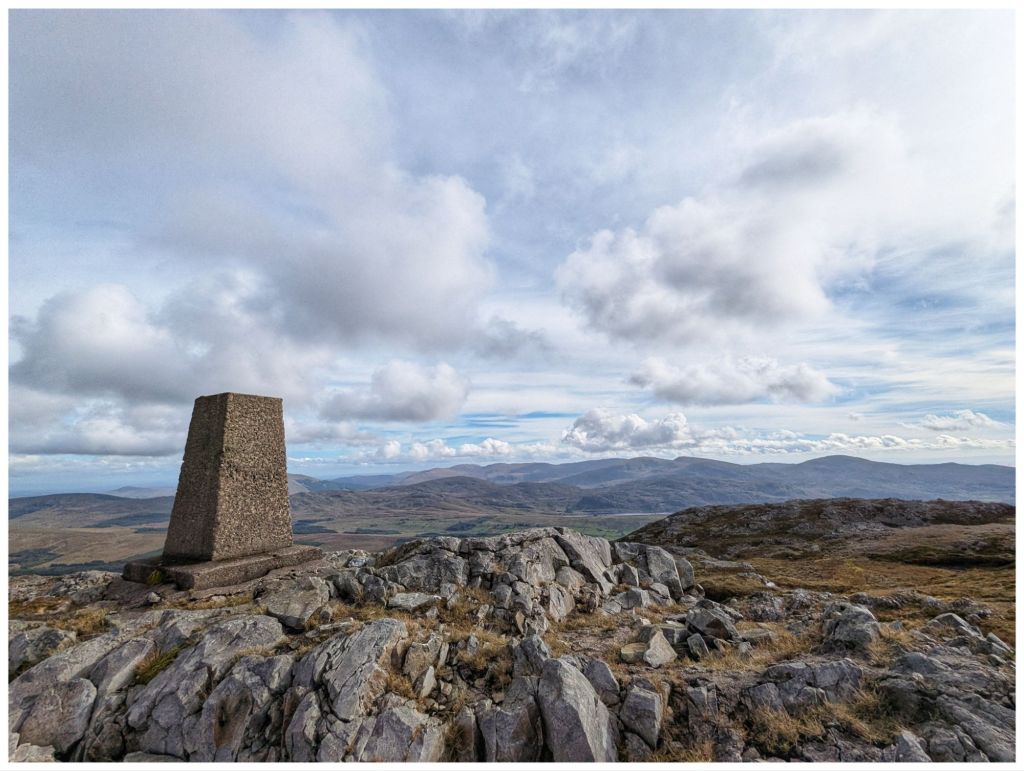
Dropping off the crag I briefly descended approximately 20m into a shallow, squelchy gulley before hitting more rocky ground and heading for the summit. Navigating through rocky outcrops I almost stumbled upon the trigpoint at 593m getting there quicker and easier than I had expected. 1hr 45min for just under 3.5km but not bad considering how slow the first, steep ascent was.
There’s a second summit (Aghla South Top) at 589m. My original plan was to head over there before returning to the summit and descending. However, my legs were tired from the morning and I was much later in the day than normal so decided to save the extra 1km and keep it for the Club walk instead.
There was a significant breeze on the summit with a cold edge but the rocky top provided a nice windbreak that allowed me to sit in the sun in comfort and enjoy my lunch.
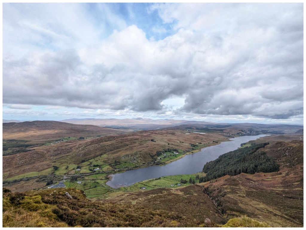
The view from the summit is fantastic. It’s a true 360 and with high cloud and bright sunshine I was able to enjoy it to the full. One of the best Donegal mountain views in my opinion.
The descent was very enjoyable. A nice rocky section along the top before dropping down but nothing as steep as the climb up. The ground was squelchy but not boggy and was easy enough walking. It also gave me a chance to practice some of my recent navigation training matching the map to the ground and taking some bearings.
With cliffs towering above and a small stream accompanying me the first descent was very enjoyable, reminding me a bit of Binevenagh.
Before long I was on the final drop off the hill and on to the rough track that heads through the forest along the edge of the lake and back to where my hairy friends were waiting to say goodbye.
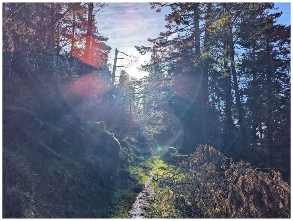
The forest seems to have been left unmanaged for a good few years so there were a number of trees down across the track but nothing that couldn’t be clambered over or around. Loads of streams crossing the path and neglect gave it a nice wild feel that you don’t often get in plantations.
Back along the tarmac track the way I came in and I was back at the car, tired but smiling. I was delighted I’d made the decision to go ahead with this walk despite the late start. Really enjoyable and perfect weather. A nice way to celebrate the end of the week.
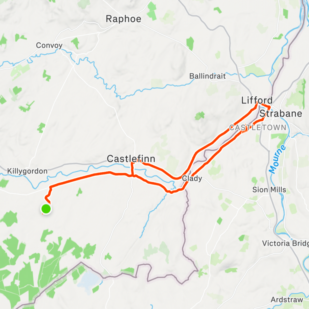
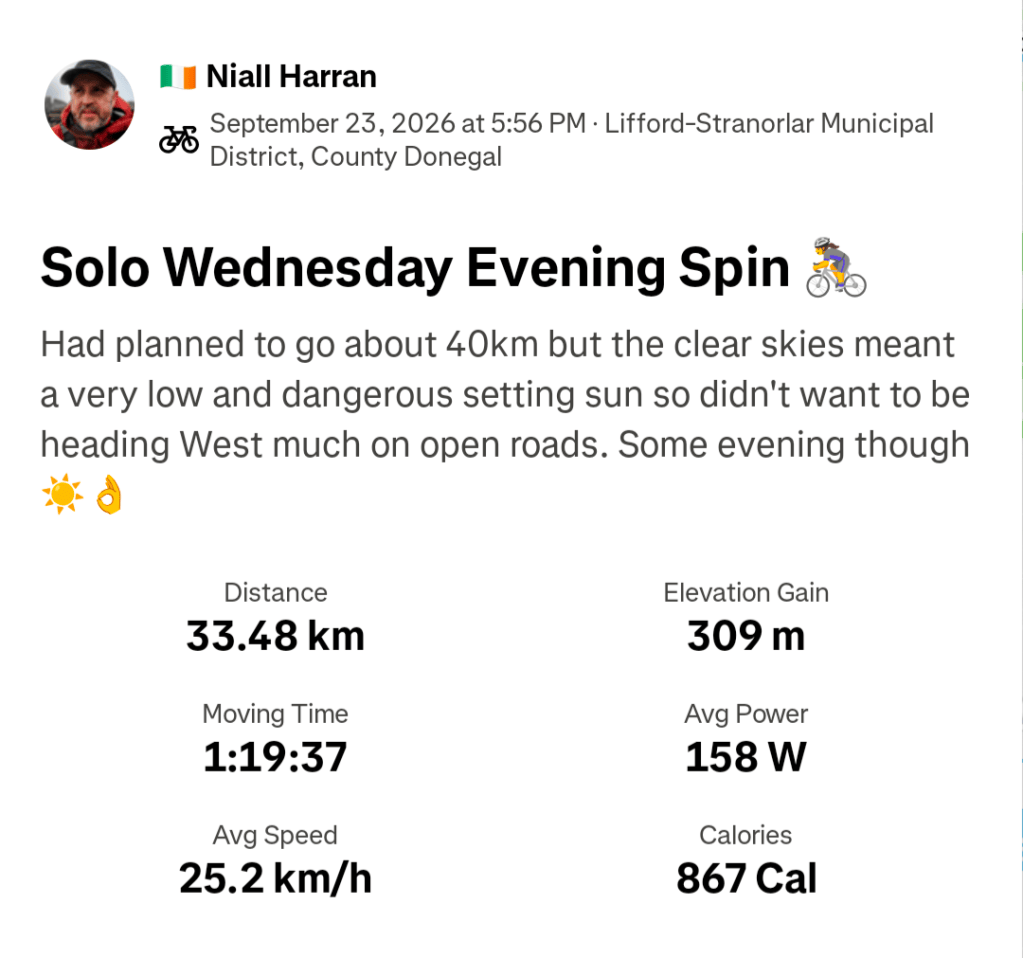
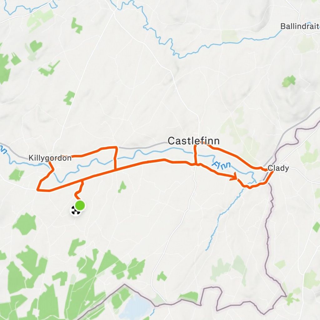
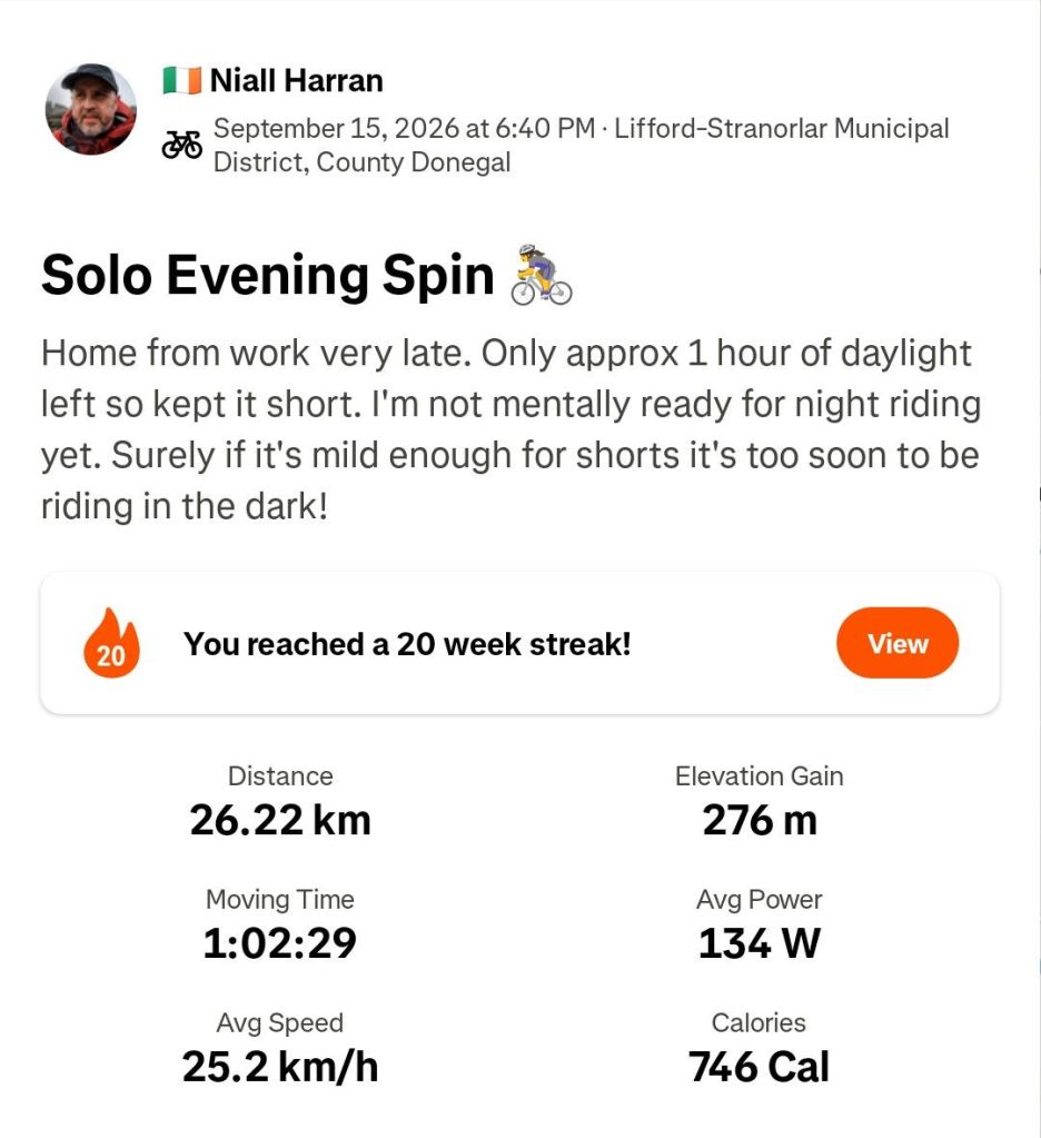
So what’s missing from the last two weeks? Yeah, not much cycling. I did manage one evening spin after work on the 23rd. It was a lovely sunny evening that meant a dangerously low setting sun so my planned 40km route became 33km to use the Greenway and stay off the roads as much as possible on my way home.
With Autumn coming in, shortening days and messy weather I’m finding it difficult to motivate myself out on the bike. Thankfully, I’m really enjoying the hillwalking and I have a feeling that will be my main activity over the Winter.
I wrote my last post on a Saturday morning when laziness overcame motivation. The weather forecast was for a band of very heavy rain and thunderstorms overnight Friday, bad enough to issue an Orange weather warning from 1-7am.
I figured there would be lots of surface water and crap on the roads Saturday morning so opted out of the Club cycle and enjoyed a lie-in instead.
Of course Saturday morning wasn’t as bad as expected but having made the decision I was unable to get motivated to get out solo.
Saturday wasn’t a waste though as we became a 4 car household once again!
With the exam and college application marathon finally over Conor now needs to focus on getting his driving license. He had lessons last year and was insured on Catriona’s car, but it was far too big and cumbersome for him as a learner and with the focus on his Leaving Certificate, driving took a back seat 🙊 The Polo is a perfect learner car and once he has his license will give him a level of independence that will hopefully compensate for living at home while at college.
I was back in the hills on Sunday, this time with the Hiking Club. The destination was Silver Hill in The Bluestack Mountains. At 600m it’s just about qualifies as a Vandeleur-Lynam summit and, by default, is also an Arderin. It is the joint smallest V-L sharing the honour with Castle Hill in Kerry.
I was up here in December last year on Cooper’s first venture into the hills. Despite being less than a year ago I couldn’t remember any of the walk after the reservoir. Also despite having a distinctive summit cairn and great views I couldn’t remember the top either! I guess I was more stressed having Cooper with me that day than I realised. Of course, having a leader that knows and sets the route makes for a very relaxing day.
I was surprised at the low turnout. It was a great day but only 5 plus the leader made it.
Close to the parking area I got a low pressure warning on my rear passenger tyre. Once parked up it was clear I had a flat! I decided to forget about it until after the walk. Worst case if I couldn’t get it sorted then Catriona could come pick me up and I could organise an emergency service to sort it on Monday.
Arriving back at the car after the walk I used the electronic pump and jar of sealant to get the tyre inflated (no spare wheel in this car!). Coming into Donegal Town it felt soft again and another inflation got me to a couple of km outside of Ballybofey. On the third inflation I heard a hiss of escaping air and it was clear that the tyre had failed. The wheel was safe so long as I avoided any potholes and figuring the tyre was going to be replaced anyway, I pushed on into Ballybofey and left it in the yard of the tyre centre to be sorted on Monday.
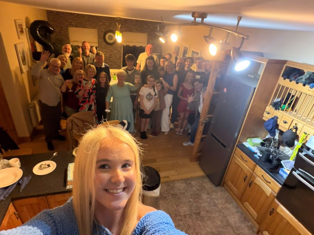
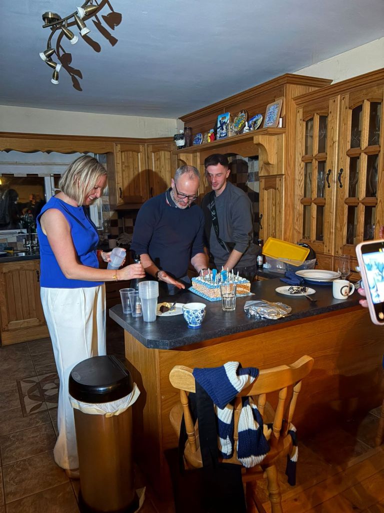
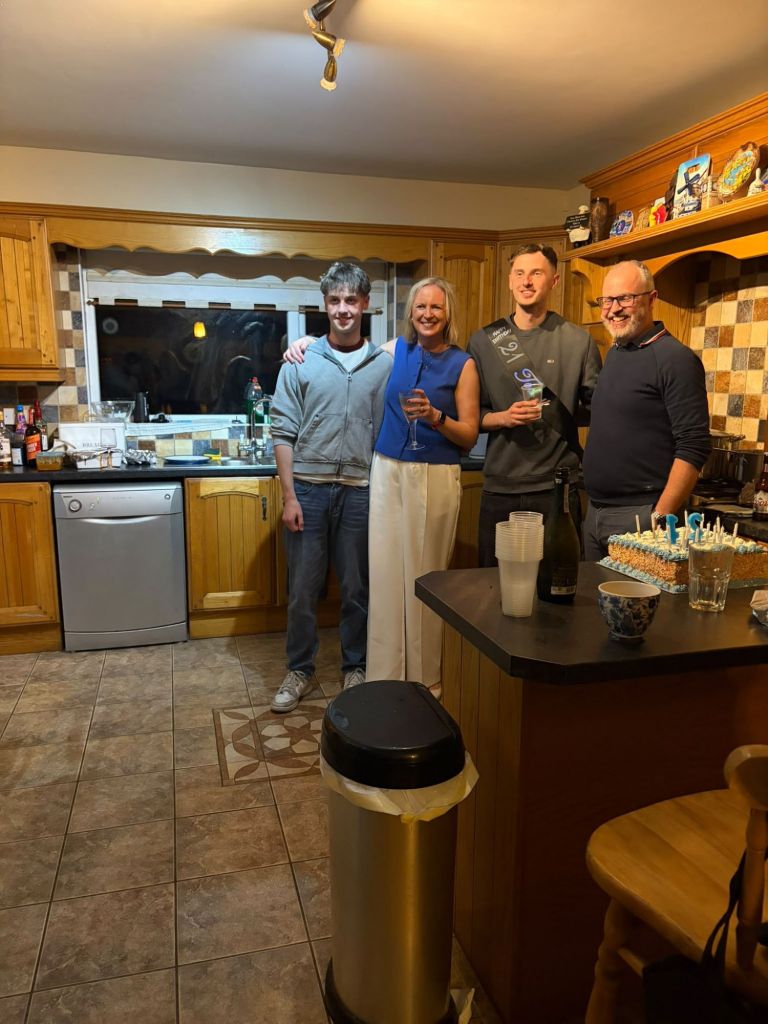
I’d booked Monday as a day off a few weeks ago. I had some annual leave to use up and it was also Owen’s 21st birthday 🥳 Catriona was at work so we held all the presents, cake, etc until Monday evening but the two boys and myself went to Jacksons Hotel for lunch once the car was sorted and retrieved. It’s rare for just the three of us to be together like this and we had a lovely afternoon before celebrating properly in the evening with Catriona.
I was back at work on Tuesday and that’s Club Spin evening. However, I’ve decided I’m not mentally ready for night riding yet so my plan is to cycle solo earlier on a Tuesday and/or Thursday and cycle with the Club at the weekend. If I can get home and out the door by around 5:30pm then I should be able to get a decent 30-40km in before dark for a few more weeks.
My plan didn’t work out great for the first week! I ended up having a longer day than expected on Tuesday and in a pattern that was to last all week, didn’t get home until well after 6pm. I did however, have enough momentum to still get out Tuesday evening for a short spin. Unfortunately, Thursday was very windy and I was knackered after a long day so ended up not doing anything!
I had vague plans to cycle on Saturday but the chance to grab a bit of a lie-in won me over. We also had a celebration get together for Owen’s 21st on Saturday evening so I figured I’d be best to be around the house to help clean and tidy rather than leaving everything to Catriona. I also had plans to go hillwalking on Sunday morning so wanted to keep fresh legs.
With a later than planned finish to the night it turned out that my hillwalking plans were a bit optimistic! Sleepy heads kept us in bed until well after 9am but I didn’t regret it as the chance to get up reasonably refreshed was worth it and will hopefully give me a better run at the week ahead.
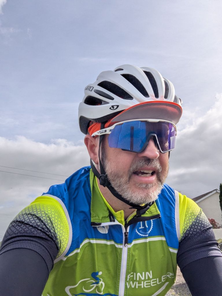
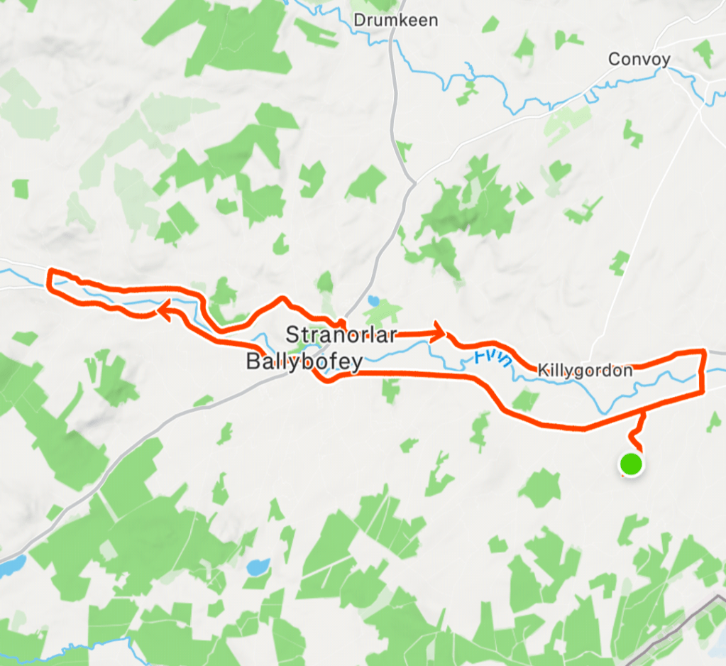
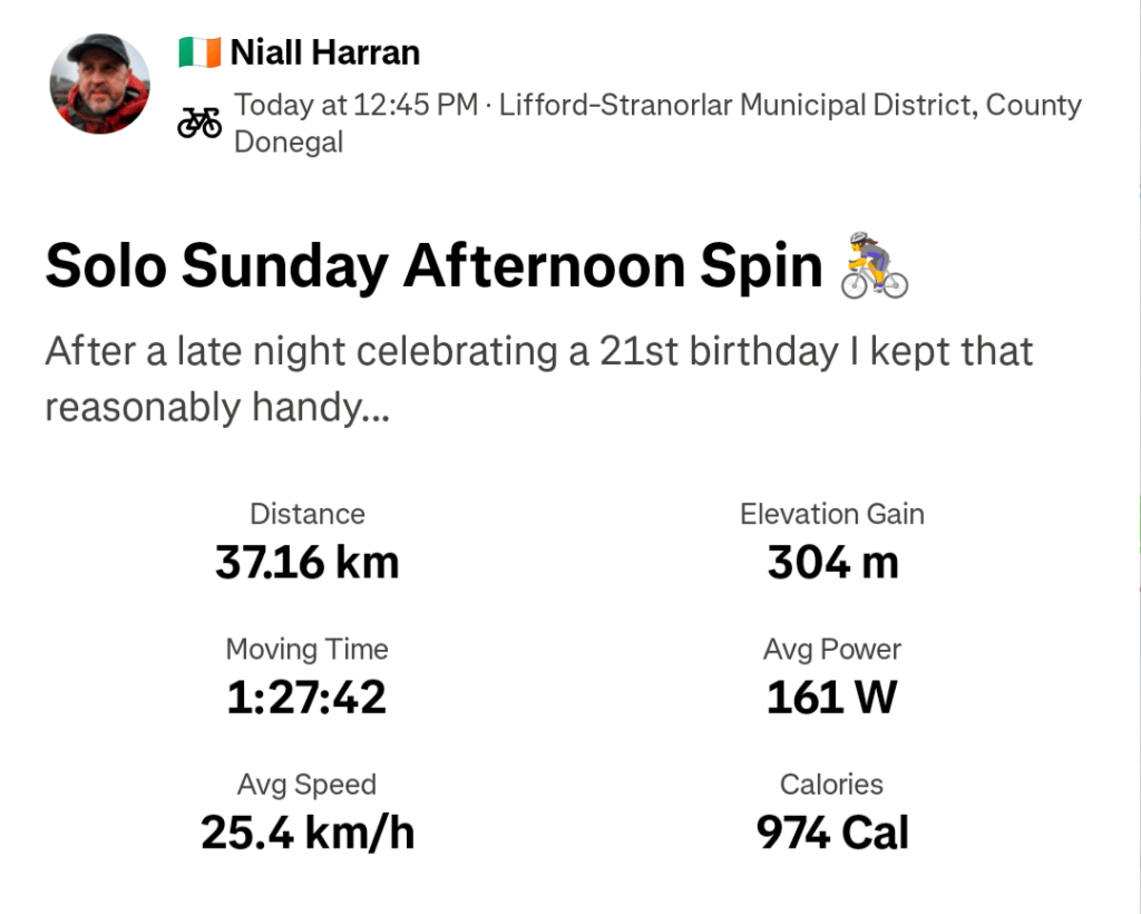
It’s a cracker day here today so in an effort not to waste the day completely I did get out for a solo spin on the bike. I decided to keep it reasonably sensible with a planned 33km ride that I pushed out to 37km. I didn’t expect or appreciate the very cool headwind on the way out but when I turned for home it was a very enjoyable tailwind with lovely warm sunshine. Hopefully not the last of this weather for the year.
The news last weekend was full of Trump’s visit to Ireland. The venue for the Irish Open Golf was his hotel at Doonbeg so there was no keeping him away. He did the usual official visits but also made an unexpected commentary on the possibility of a United Ireland. The memes were wild but this was my favourite (may not translate well out of Ireland).
The SDLP were the quickest off the mark with this theme:
Trump is also throwing his toys out of the pram over the invitation by the EU to Canada to become the first associate member. This article made me smile this morning:
After my aborted walk in Inishowen on Sunday I was quite pissed off with the lack of fitness and tiredness I had felt. I got it into my head that my lack of exercise over the last couple of months was to blame and that the struggle was down to lack of leg strength. Somehow I managed to convince myself that starting a weekly kettlebell routine had been put off for too long and I got up half an hour early on Monday morning to complete this routine:
I manged the warmup, getting “warmer” than I expected and just about managed one rep of the actual routine. I’m pretty sure it’s listed as a beginner routine but it knocked me for six!
I’m sure the previous day’s hill was partly to blame but my legs were complaining all day and once the DOMS kicked in on Tuesday morning I was limping for the next few days! Humbling would be the most generous phrase I could use…..
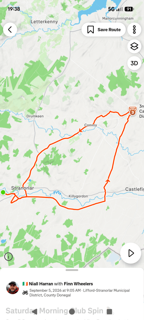
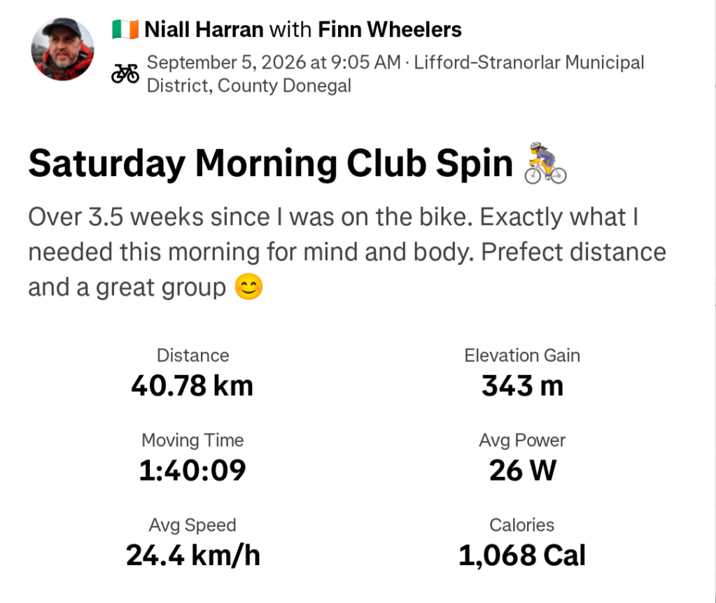
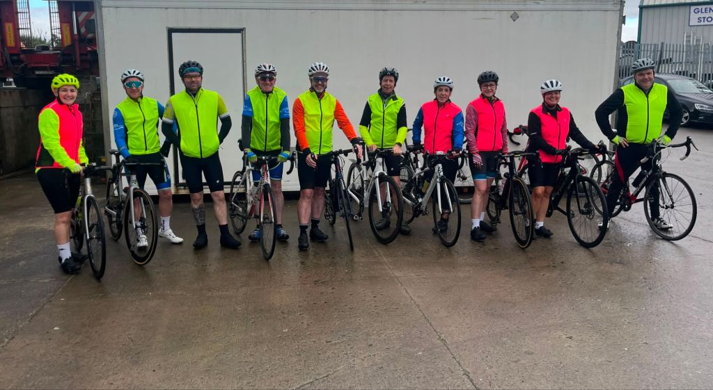
Feeling sorry for myself all week and a busy week at work, with hassles I wasn’t in the mood to deal with, left me feeling pretty shit and mentally I had a tough few days trying to keep myself from sliding too far. By the time I got to the end of the week I was more than ready for a spin on the bike. It had been 3.5 weeks since my last spin and it had reached the stage where I was really missing it. We had a good group out on the Saturday morning and a good mix that were definitely leaning towards a leisure ride. We settled for a 40km loop to Raphoe via Liscooley which suited me perfectly as I didn’t want to shock the legs too much.
It turned out that this spin was exactly what I needed for both body and mind with a much needed reset for both!
With the evenings drawing in quickly now the Club Tuesday and Thursday evening spins are getting into that dodgy land where the light is poor and we’re finishing in the dark. I don’t like cycling in those conditions, even with lights and reflective gear, so I planned to get out solo at about 5:30pm each evening instead. Unfortunately, work intervened on both Tuesday and Thursday leaving me home after 6pm each evening. The weather has turned autumnal again very quickly too which definitely didn’t help.
As always, at this time of the year, my mind has turned towards the possibility of indoor training but I’ve tried that and I can’t seem to get into the groove. The boredom factor is usually too strong for me! I’m also toying with the idea of trying running again but I am definitely leaning more towards “rucking”. You can find out here exactly what it is but it’s basically walking with a weighted bag for strength building. I have a feeling that that might be more effective for me for hillwalking and cycling, maintaining strength during the week and also be less liable to create an injury like running has done for me before. We’ll see how that goes as the lure of the sofa is also strong at the minute!
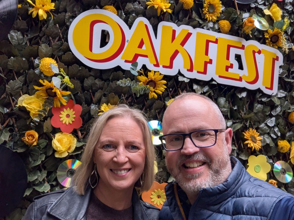
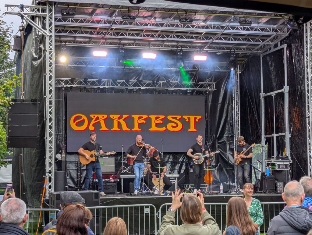
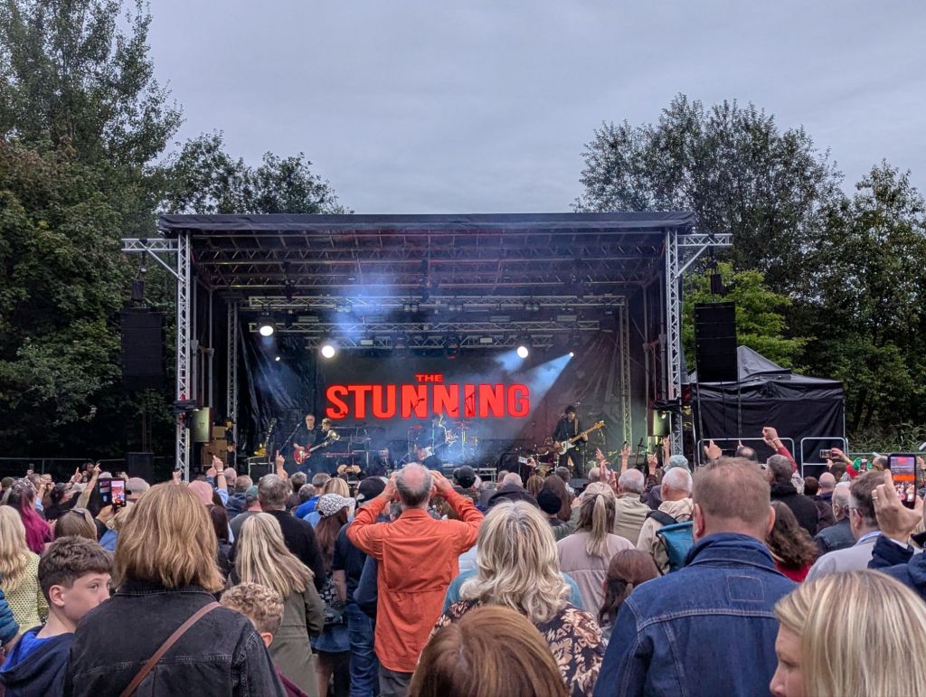
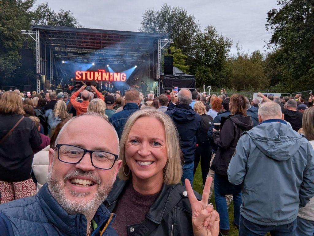
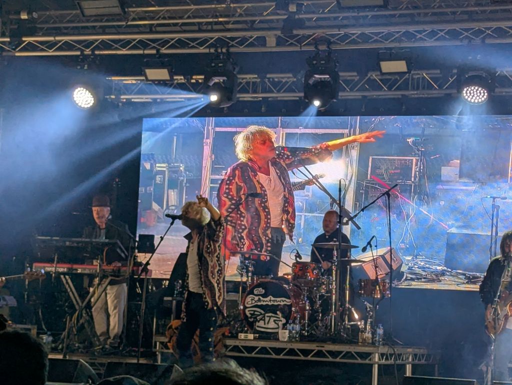
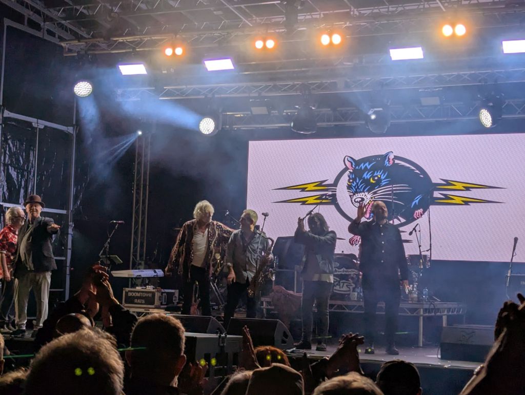
On Saturday Catriona and myself did something very different and went to a local music festival called Oakfest. It’s been on for a number of years now but this year it was headlined by Bob Geldof and The Boomtown Rats with The Stunning on as the main backup. It’s astounding to think that the actual Bob Geldof was in Raphoe playing to a crowd of 2000 max especially having opened the previous week for Bon Jovi at Croke Park! I’m not in any way a Rats fan but the show was brilliant. At 74 he was full of energy and really engaging with the crowd. The finisher in particular was fab!
The Stunning were also excellent. I only knew a few of their songs but the rest were good enough to go along with and they finished with the excellent “Brewing Up a Storm” that is their biggest hit.
Ruaile Buaile were on stage and pretty good when we arrived but SuperCeili played in between The Stunning and The Bootown Rats and they were fantastic. Full of energy and really got the crowd going.
The whole night wrapped up at 11pm and with a willing son to collect us, less than 20min from home it wasn’t long before we were back home and in bed shortly after midnight like all good Cinderellas! My knees though….they were definitely protesting the 6 hours on my feet lepping around like a young one! They were throbbing so much I had a hard time getting off to sleep! Thankfully, they were much better the following morning…
Today’s original plan was to complete a Club Hike to the highest point of the Bluestacks at 674m. However, with thunderstorms and heavy rain in the forecast the decision was made yesterday afternoon to call it off.
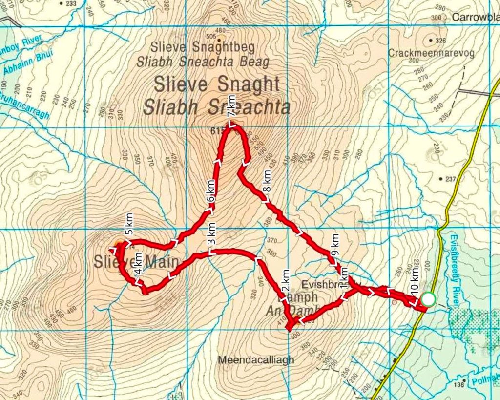
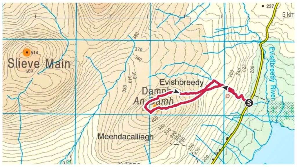
Looking at the forecast this morning I thought that was a bit over-cautious and decided I had a decent weather window to tackle a walk I had downloaded a few months ago to take in Slieve Snaght and Slieve Main. At 615m Slieve Snaght is the highest point of Inishowen, an Arderin, the only Vandeleur-Lynam in Inishowen and one of the 50 highest summits in Ulster. Slieve Main (514m) is also an Arderin, one of only 3 in Inishowen, meaning I’d get two of the three in this route.
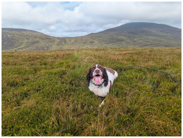
I also decided to take Cooper with me. I have a decent waist belt now and the adjusted lead is at a good length to let him wander without being too far away from me. I had some concerns about sheep grazing but decided it was worth the gamble that I’d be able to keep him under control.
The route starts with a climb to the top of Damph. At 420m it’s too low to appear on any significant lists but I figured it would be a nice loop and would add a bit of variety.
Starting from the road it’s straight up a steep track for a few hundred metres. No time here for much of a warmup! The track mostly follows a small stream and when the track eventually peters out the stream is a handy guide.
There were a few sheep on this section that wrecked Cooper’s head. It’s like a chip switches on that just makes him want to run. However, I was reasonably pleased how he mostly came when I called and didn’t haul much on the lead.
The ground from the get-go was hard going. Lots of holes, wet spots and humps of grass and rushes. It’s a terrain that’s hard to describe but it is really difficult going. My calves were soon burning. Crossing the stream I angled across the hill before meeting and crossing a fence. This one was tricky with Cooper as it had barbed wire on top. I was wary of him pulling the lead at an inappropriate time leaving me snagged. I tied him off to a fence post with the lead, chucked him over and then crossed nearby, with just my own clumsiness to deal with.
I was still angling WSW but with a change of terrain it was now straight up. The ground became increasingly rough with lots of little gulleys and humps that drained my legs and left them feeling like concrete.
A second, easier, fence and a couple of false summits and I finally reached the top. Or did I? Damph is a featureless summit with 3 or 4 small mounds, any of which could be the highest point. With no clear marker I tramped over them all just to make sure!
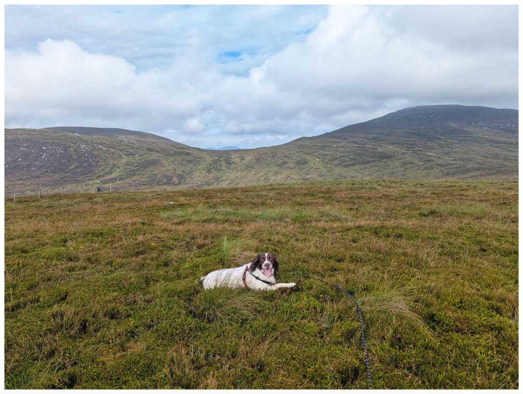
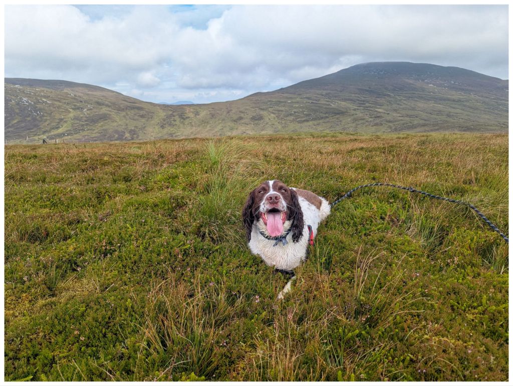
It’s hard to get Cooper to sit still for photos but somehow I managed to get a few shots of him with Slieve Main and Slieve Snaght in the background.
At this stage I could see the full route ahead of me. It was a steep descent into a coll before a steep climb up to Slieve Main, followed by another descent and climb up Slieve Snaght and then descending back to the start. The coll before Slieve Main looked horrible, lots of boggy bits, more gulleys and rough as hell. Judging how tired I felt with just this first hill I knew I was way out of my league today and decided to cut it short. My legs were suffering badly and I knew the climbs ahead would be slow and painful and basically I wasn’t going to enjoy it.
I’ve read some of the route and summit descriptions on Mountainviews.ie and they describe Damph as easy enough but with difficult ground. Maybe those guys are fitter than me but I struggled today. Maybe it’s tiredness? I had a long week at work that left me pretty worn out this week and I don’t think I recovered enough since Friday.
Whatever the reason, I reluctantly decided that was enough for today and after a circuit of the summit I headed back to the car, eventually picking up my route out and following the earlier stream and track.
Cooper got quite muddy on the track so I decided he needed a dip in the stream. I found a little pool with about a 20cm drop into it. He wouldn’t go in! A shove got him mostly in but he managed to get his front paws on the bank and fought like hell to avoid going in any further. He was getting distressed so I hauled him fully out and I got the dirtiest looks once he’d shaken himself off. Trust was gone now as he wouldn’t even paddle in the shallower bits, even when I stood in them myself! Funny how he has no problem running through muddy drains though!
Walk Stats:
Total Distance: 3.7km
Elevation Gained: 260m
Total Time: 1hr 35min
Moving Time: 56min
Damph in Irish is An Damh, meaning ‘the stag’ or ‘the ox’. Today felt more like an ox day!
Sawel or in Irish Samhail Phite Méabha. This translates to ‘the likeness of Méabh’s vulva’ proving once again that Irish men have always been obsessed with female body parts!
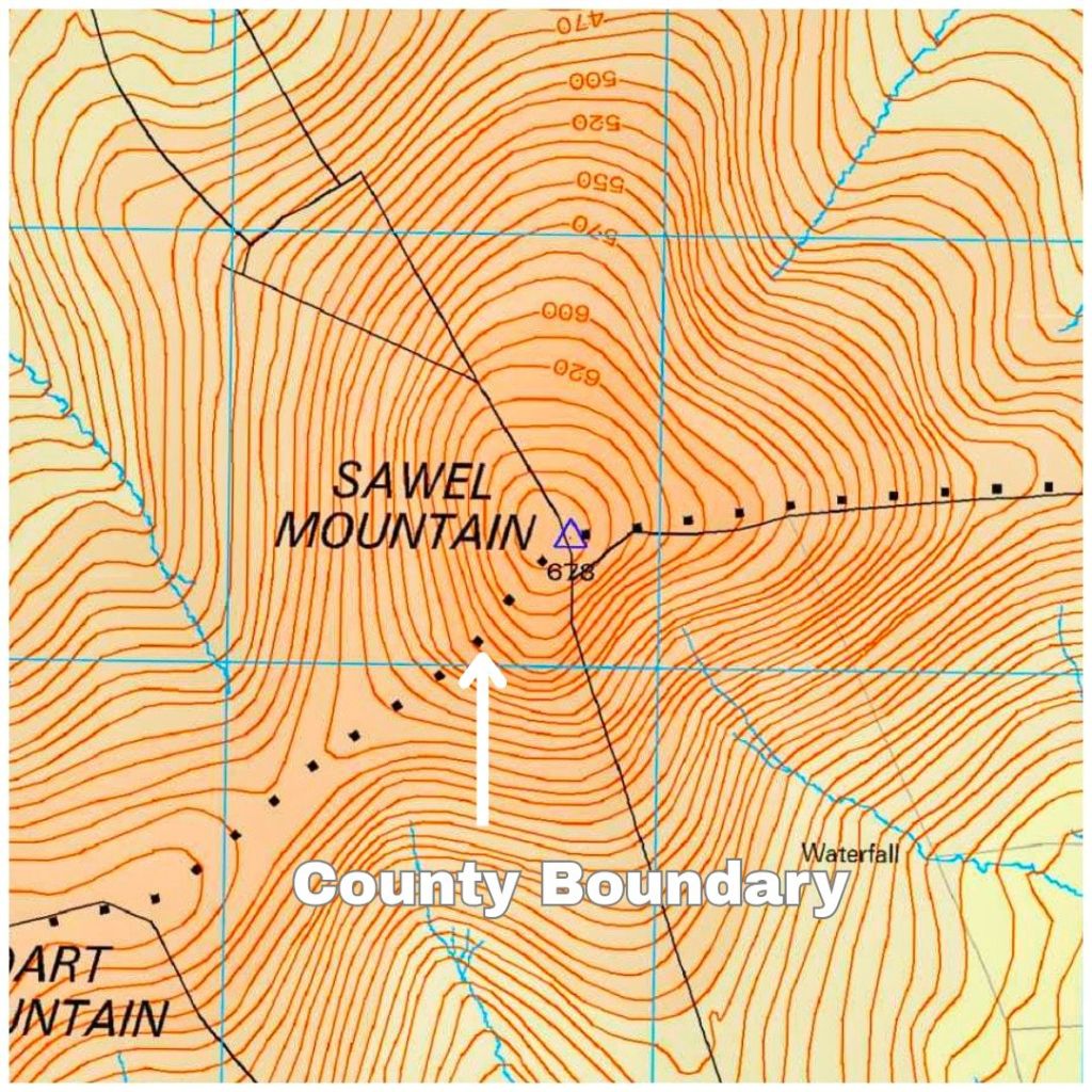
Sawel at 678m is the highest summit in the Sperrin Mountains, the 8th tallest in Northern Ireland, the tallest in Northern Ireland outside of the Mournes but, more importantly, it’s the County High Point for both Derry and Tyrone as the summit sits on the traditional border between the two.
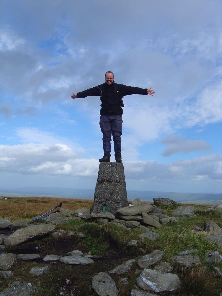
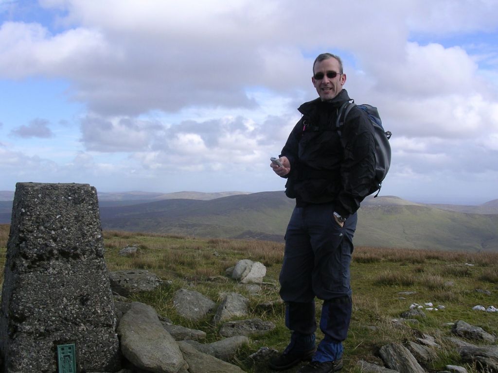
I have been up here before. It was 2007 with my friend Jim. It’s strange how the mind works as it feels much longer ago than 2007 but also feels nothing like almost 20 years ago!
Much younger versions of both of us!
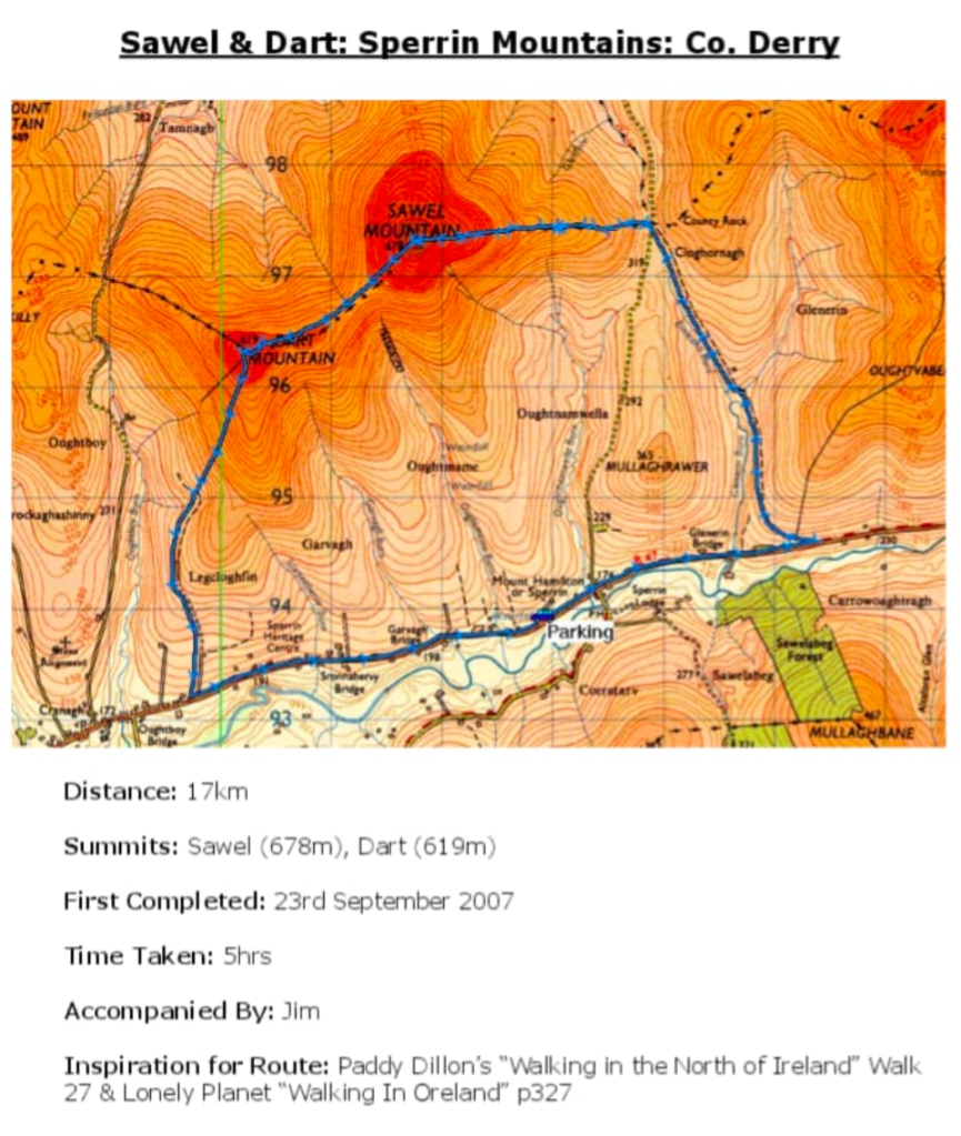
That day we walked a pretty long 17km route with a big section of road that straddled the start and finish.
From my offline logbook I was keeping at the time
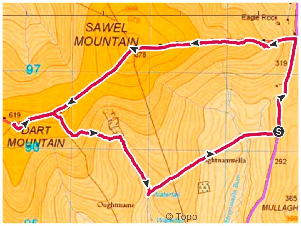
This time I wanted something shorter with less road walking and found a good route on Mountainviews.ie Predicted at 9.5km and only 1km on road.
I parked in a small layby right where the route pops back out on to the road at the finish. This gave me a 1km walk to the start of the off-road section. There’s a bigger parking spot here but it would have meant walking the road at the end and I felt that would have reduced the enjoyment. Better out of the way when I’m fresh and use it as a warm up.
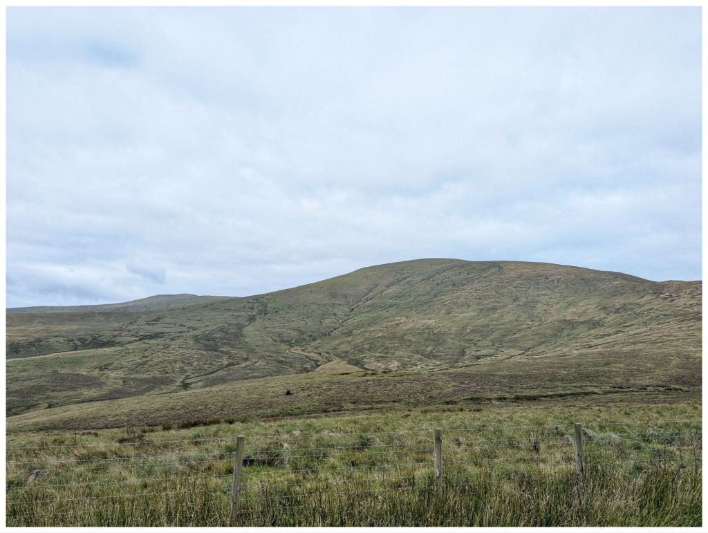
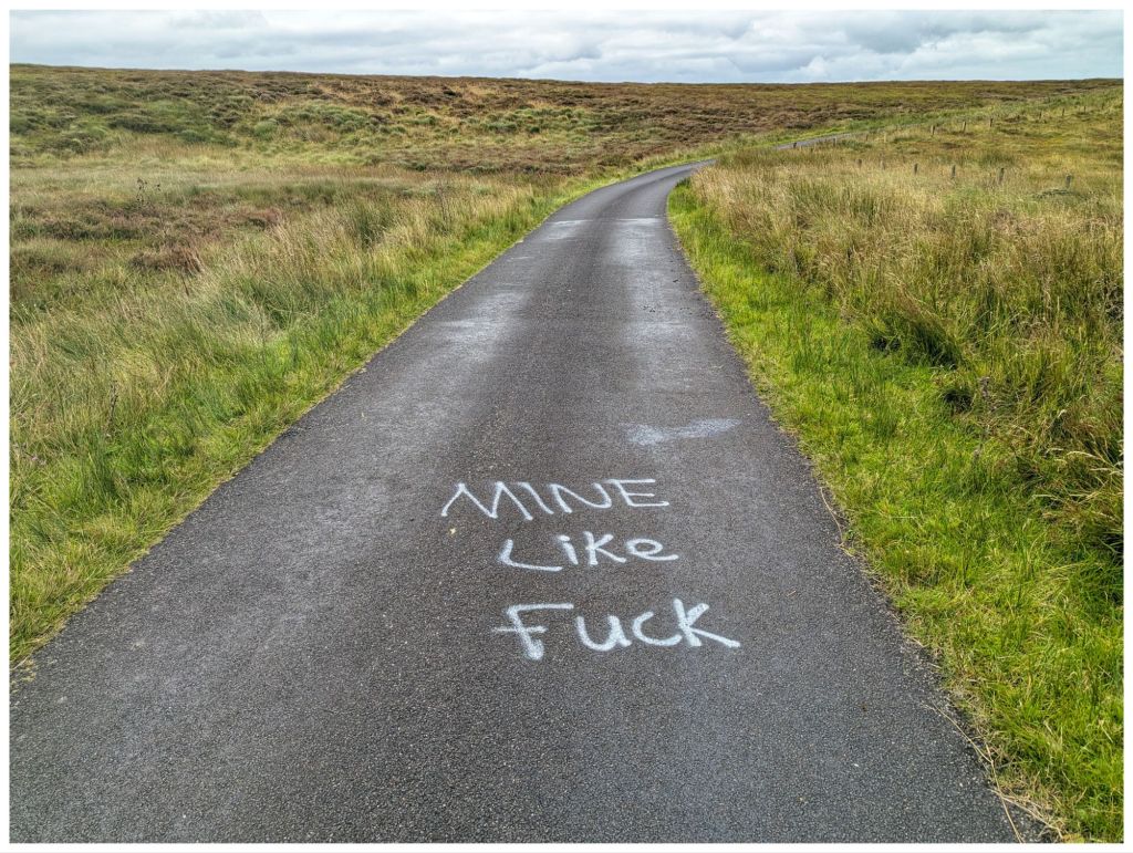
Sawel from the road. Steeper than it looks! I assumed this was a reference to the contentious gold mining that is happening in The Sperrins?
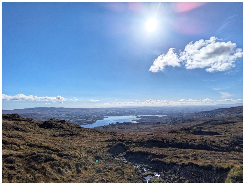
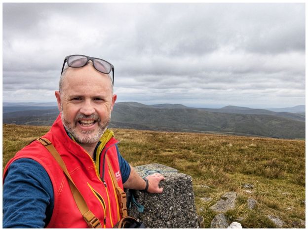
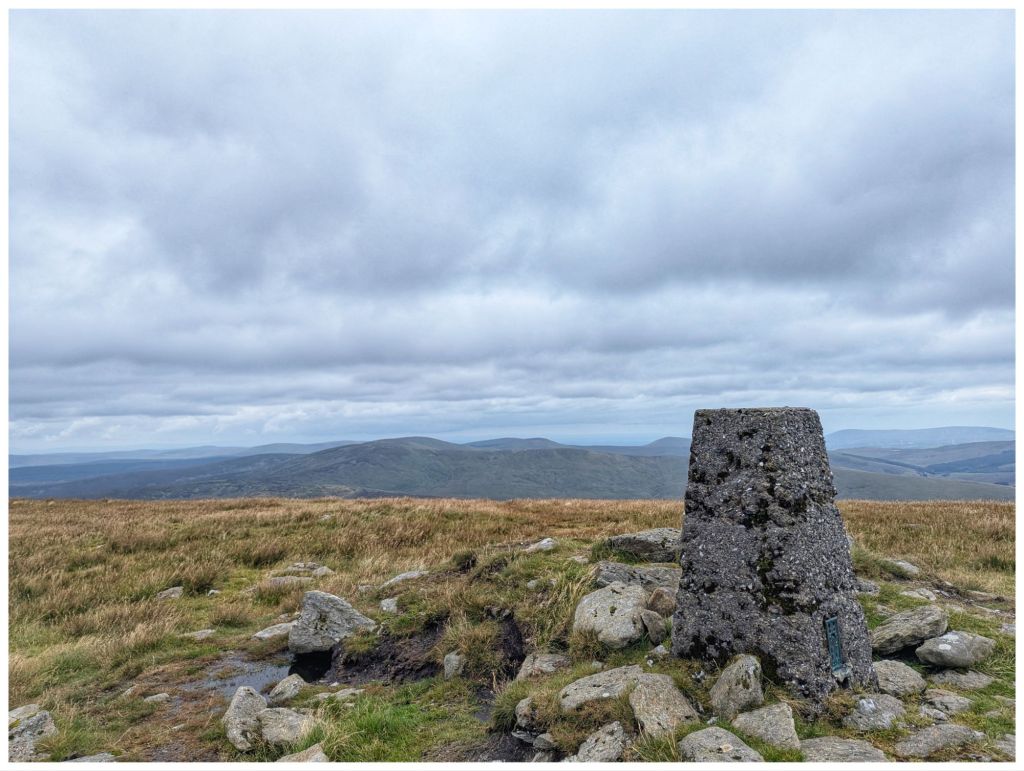
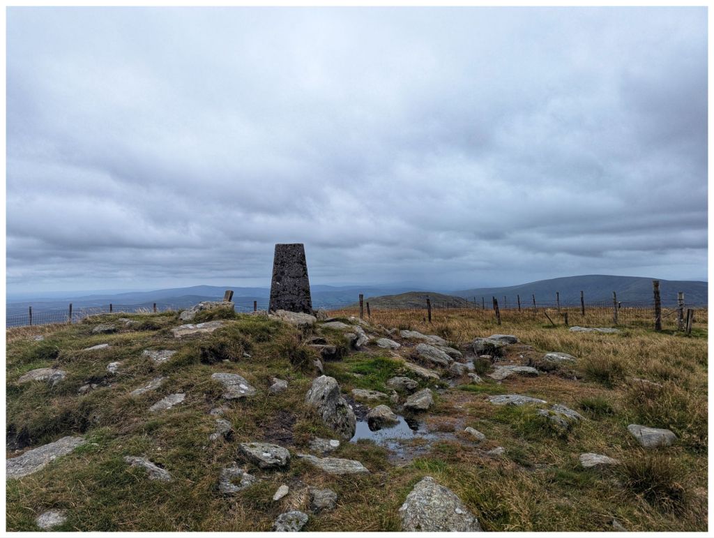
Once you leave the road there’s a pretty steep climb up the first shoulder. It evens out after about 1km for a short stretch and then you gain approximately 250m elevation in the next 2km. The usual false summit and then you are rewarded with a nice trigpoint surrounded by a rocky collar. The views were excellent despite the overcast sky. I think you can see the full Sperrin range from up here and I could even make out a hazy Errigal and Muckish in the distance.
Terrain on the way up was squelchy at times but much better than I expected. There were some dodgy patches but a clear track helped avoid those. This is a well trodden summit with easy access and the lure of the County High Point. One boggy stream required a big jump to cross and also a bit of a leap of faith but I made it without getting wet or embarrassing myself!
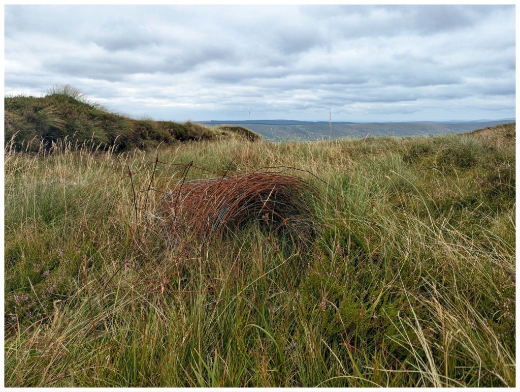
The track follows a fence line all the way right across to the second summit of Dart so navigation is easy. The fence has been upgraded over the years and as is the habit in The Sperrins the old rolls are left on the hillside. I’ve seen this in other locations and find them strangely fascinating as the bog slowly reclaims them.
As I started the climb to Sawel I could see a group about an hour ahead of me on the track. When I got to the summit they were a little way off sheltering out of the wind and having lunch. I went over for a chat. They seemed to be a group that met online or possibly on a guided walk with a local. One of them was a 75 year old lady up from Limerick ticking off her County Highpoints. Only 5 more to go!
I left the group and headed on over to Dart (An Dairt ‘the lump’). This is more mountainous looking with quite a craggy top from the Sawel side. After a steep descent from Sawel it was a very nice walk across the coll between the two with nice views to the North and South.
Dart from halfway down Sawel
A shorter and not quite as steep a climb brought me to the fairly large summit cairn at 619m.
Sawel from the Dart cairn
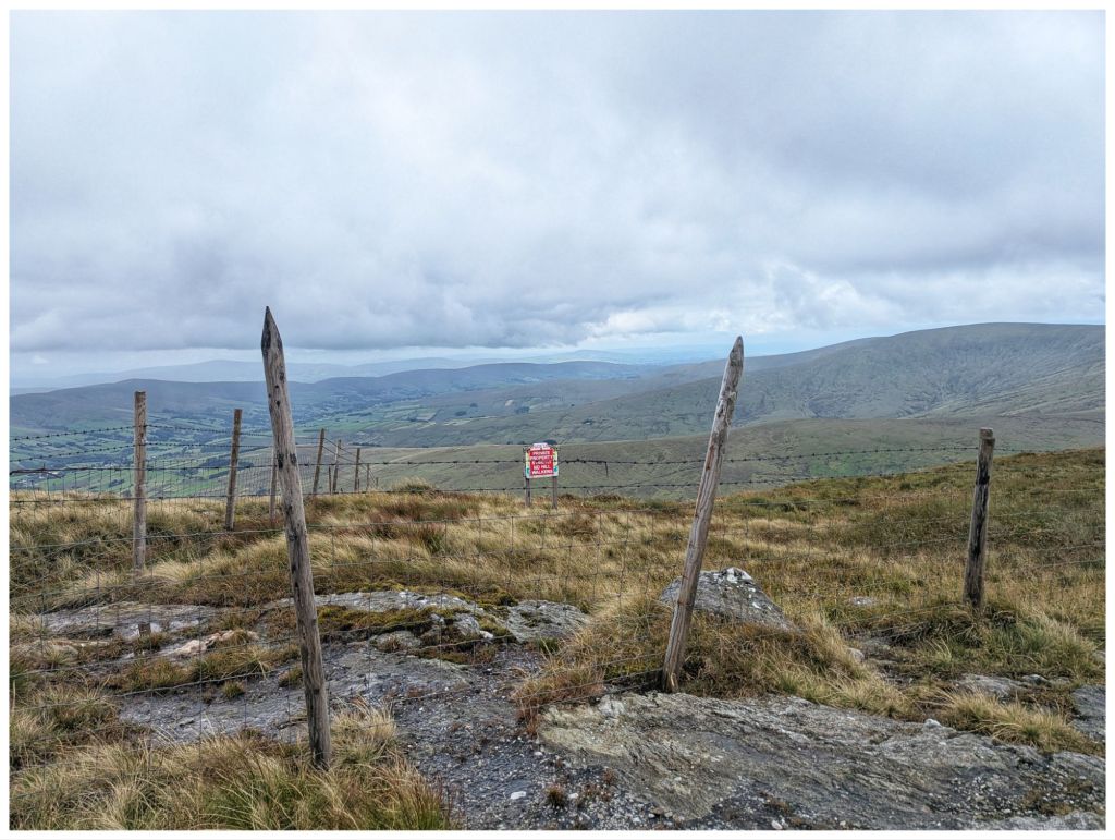
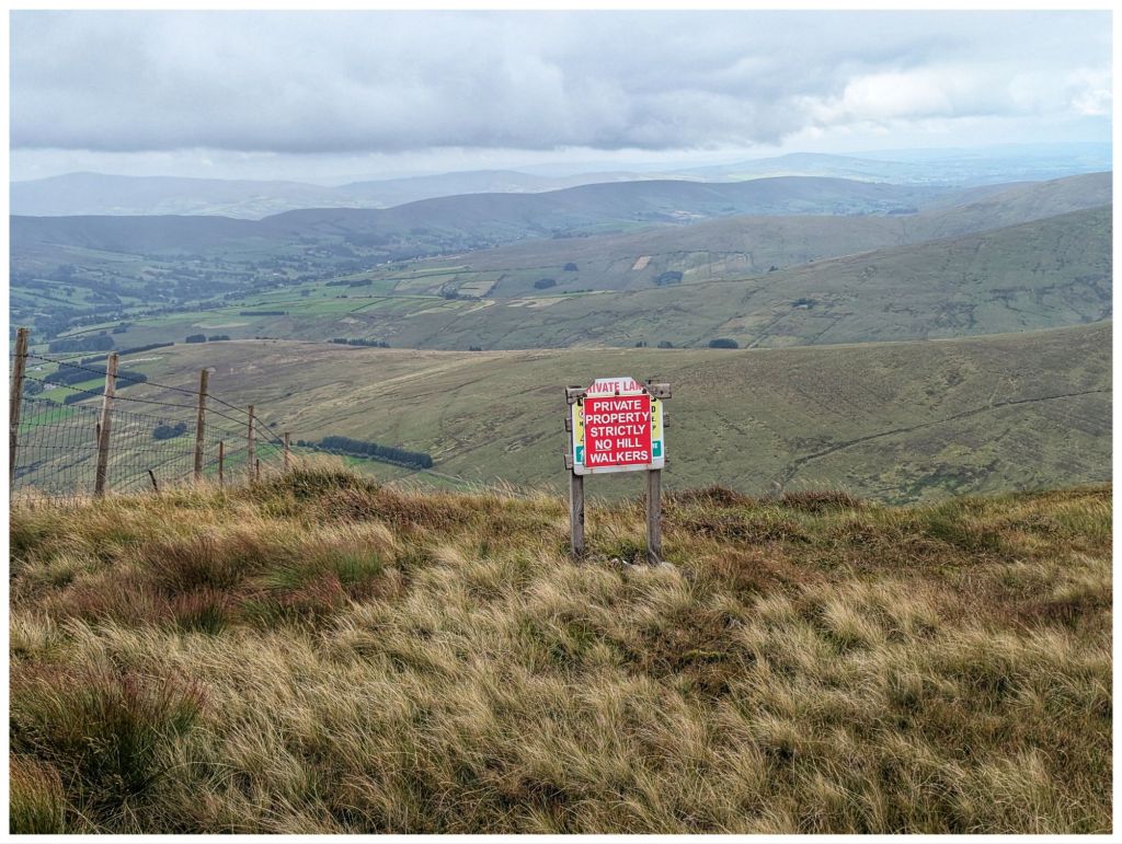
Historically there have been access issues in this area of the Sperrins and unfortunately, 20 years after my previous visit there is still a sign warning walkers away from the adjacent ground and the fence on this section of the hill is much higher and topped with barbed wire 😔
Friendly bunch!
After some photos I retraced my steps partway back across the coll towards Sawel. At a fence junction my route diverged down but first, a handy rocky outcrop provided a good seat and a windbreak from the cool breeze that was blowing through. Time for my lunch.
Crossing the fence I was heading in more of a Southerly direction. This is off the usual track so I was having to pick my own best route across the rough ground overgrown with waist high rushes. I came out of this after a few hundred metres on to more grassy terrain and I veered off East towards the gulley that the hill is named for.
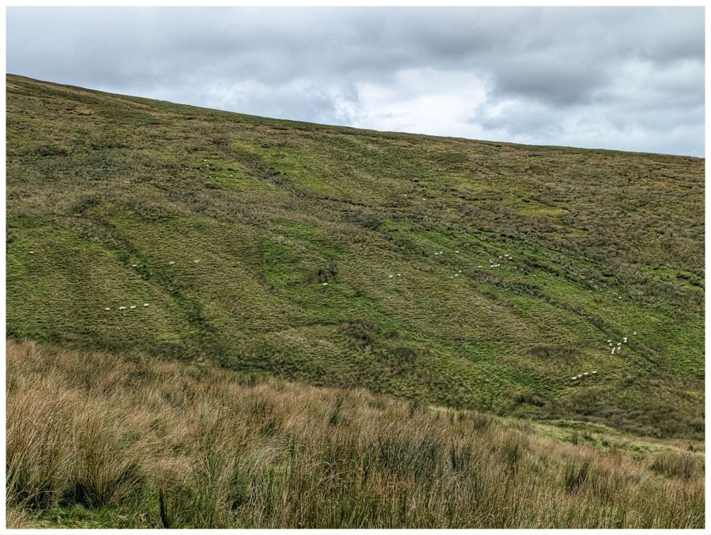
I crossed another fence into a more active grazing area that covers both sides of the gulley. A large flock of sheep was in this area and they definitely didn’t like me coming through. Lots of bleating and they marched off across the hill in lines to stare accusingly at me from the other side.
Sheep on the march
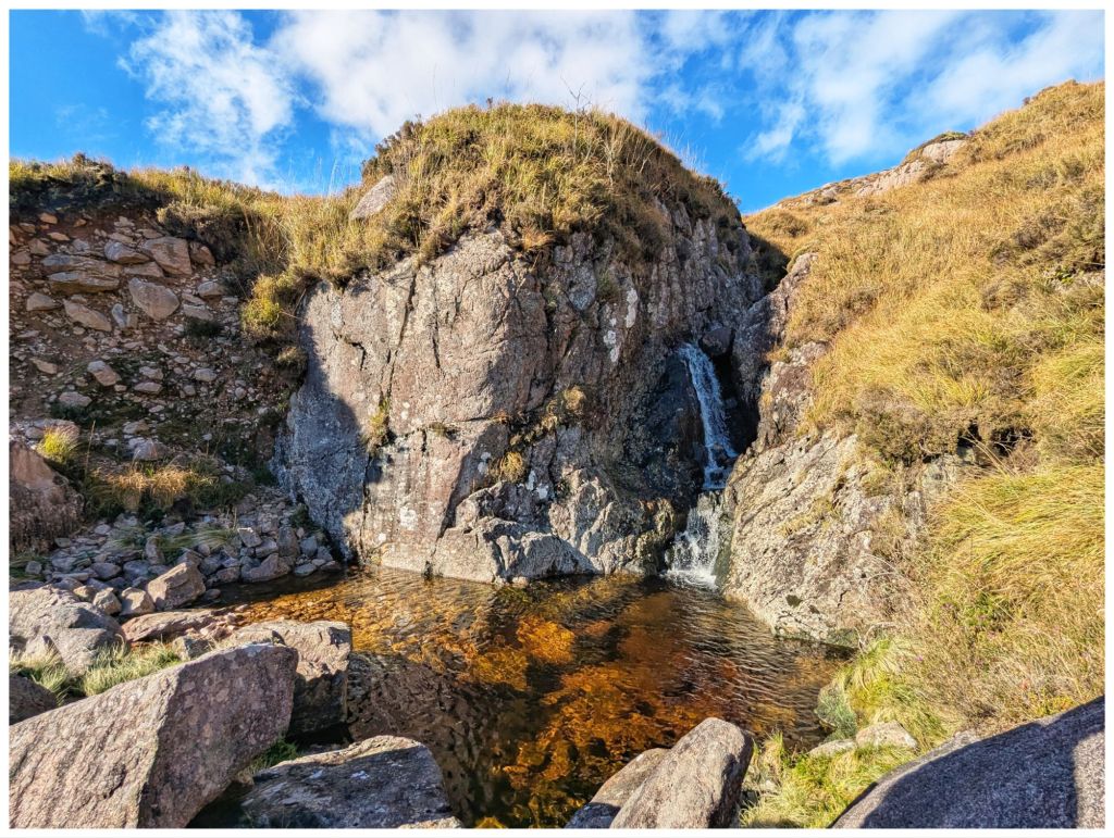
Dropping down into the gulley I was aiming for the waterfalls marked on the map. However, I had low expectations as the stream was fast but less than a metre wide. Multiple small falls gave me the impression that I would be disappointed.
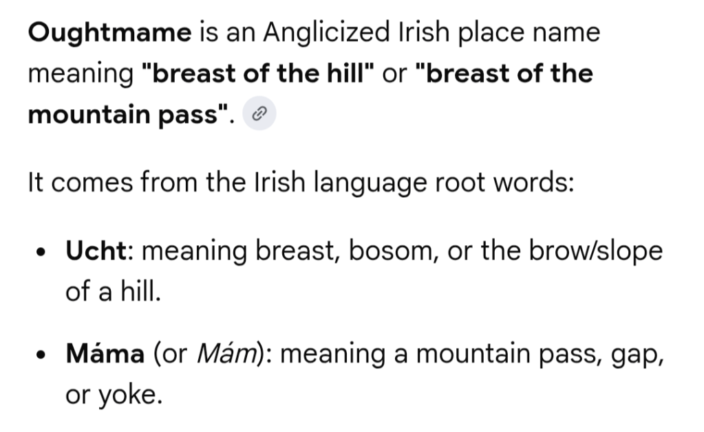
Walking along the stream that eventually becomes Oughtmame Burn was hard work. More waist high rushes, lots of holes, some boggy bits and smaller hidden streams flowing into the burn. Unsurprisingly, the burn once again confirms the male obsession with female body parts…
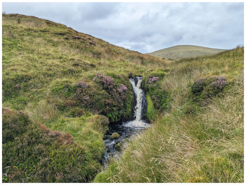
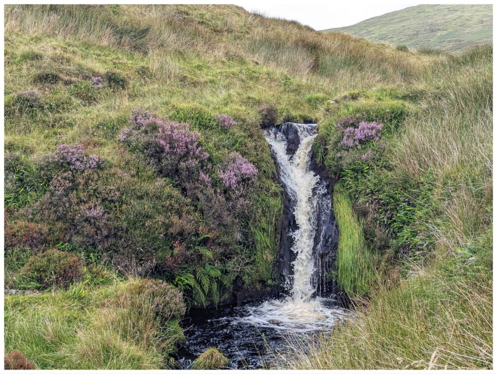
I was seriously doubting the effort was going to be justified when suddenly this appeared:
The photos don’t really do it justice and if you’re into wild swimming I’d say the pool is deep and good to explore. Probably freezing cold too!
Leaving the waterfall was a steep climb up out of the gulley across ground that was a mix of grassy clumps and heather before topping out to an area that seemed to have been burned in the last couple of years.
Navigation from here was easy as I could see the car on the road across the hill. In poor visibility though, this would require a lot of care and a compass bearing as the hillside is pretty featureless and it would be easy to get turned around. Not today though as I was clearly able to see the stream confluence and fenceline that was my next target.
To get there I had to drop down into yet another gulley, cross a low fence and then pick up the fenceline for one last steep climb back to the car.
Walk Stats:
Distance: 10.3km
Elevation Gain: 615m
Total Time: 4hrs
Moving Time: 2.5hrs
This was a walk I’d been looking forward to for a while and one I really enjoyed. It reminded me why I like the Sperrins so much.
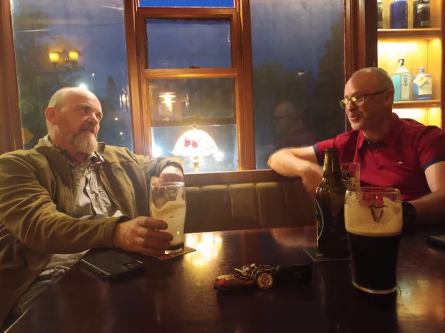
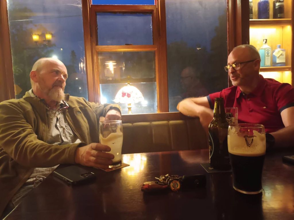
Finally got the pleasure of meeting Declan aka The Unironedman for a few drinks and a lot of blather at his local. Great night made even better by meeting his lovely wife Saoirse ❤️
As an extra bonus I also had the honour of meeting Bonnie and Odi although I think Odi remained very underwhelmed 🤣
This week was an unplanned experiment to see how I can cope with about 60% of my normal sleep. Official results are still pending but I can say for sure, it wasn’t pretty!
I started the week with about 5 hours sleep, getting up at 4:30am on Monday morning to leave the boys to Belfast airport to get a 7am flight to Manchester and meet up with Catriona and the others. The original plan was that all of them would go together on the Sunday but the scheduling of the first (and unfortunately, disappointing) Championship game on Sunday afternoon required a change of plans for the two boys.
I had scheduled myself to work in and around Belfast that day but the early flight meant I still had two hours to fill before I would be welcome in any shop. I managed to fill part of the time with a giant sausage and bacon bap that almost made up for the early start.
Not my photo. Mine didn’t survive long enough!
I got through the day surprisingly well but it was a very long drive home from Belfast that afternoon that required more than one short power nap to avoid the noddies! No surprise, I was in bed early that night.
Tuesday evening I somehow managed to get out for the Club Spin. The longer spin was also the fastest group and way out of my league so I was happy to go with the shorter 40km group. Still a good bit of climbing involved.
Catriona and the boys were due back that night. When their flight was delayed by 30-40min I offered to go collect them from Lifford, saving my sister in law at least half an hour on the journey home. I figured I wouldn’t sleep until they got home anyway.
Getting to bed at 1am my brain went into overdrive and it was about 3am by the time I was asleep and back up again at 7am. Unfortunately, my scheduling wasn’t as good this time and Wednesday was my long day of the month with visits in Ardee, Drogheda and Dundalk!
By the time Thursday rolled around I was mostly recovered but was wary of the Club spin. The radar was showing thunderstorms and I just didn’t fancy it. Turned out the five guys that did go out got caught in a huge thunder plump and were absolutely drenched. No actual thunder but they said the rain was at dangerous levels for cycling.
Saturday morning there were no bikes as we instead had our Club day out with a hike to Slieve League, dinner in the Rusty Mackerel and drinking and dancing for the evening in Donegal Town. 14 of us made the walk and 5 more joined us for dinner or dancing later in the day. A great day and night with perfect weather for the walk. It was another late one though, not getting home until 2am.
There wasn’t much of a lie in on Sunday morning as Catriona was up and away about 7am to join a group of friends from her gym for a morning hike. I stayed in bed until about 9am but I didn’t really sleep after she left. Sunday became a very lazy day, trying to recharge severely depleted batteries. It was mostly spent reading and watching TV as well as Star Wars: Rogue One having just finished S2 of Andor. A 1.5hr late afternoon snooze almost derailed my sleep last night but I went to bed happy to have booked Monday off on Annual Leave. Every now and again I manage to get it bang on!