
I haven’t been on the bike since the 100km spin for April. The following Bank Holiday weekend was pretty grim weather wise and the Wednesday after I managed to hurt my back doing some clearing out of the attic and garage. I’ve had problems with my lower back for a good number of years with a slightly bulging disc that causes sciatica when irritated. Nothing major but it flares up from time to time. I’ve had various physio treatments for it but I have a weak core and a terrible lazy streak that means I never totally get rid of it.
This time I strained my left side which resulted in pain and inflammation on both sides of my lower back. I’ve had to start on a course of pain killers and wear a back support to work to allow me to stay on my feet all day. I’ve been able to keep working and walking but had to stop cycling to allow it to heal. It had improved towards the end of last week so I decided that a hike was in order to get me out in the fresh air for a few hours and to test the limits of my back in a situation where I could easily bail if I was in too much discomfort.
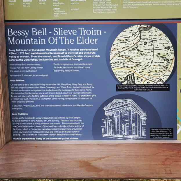
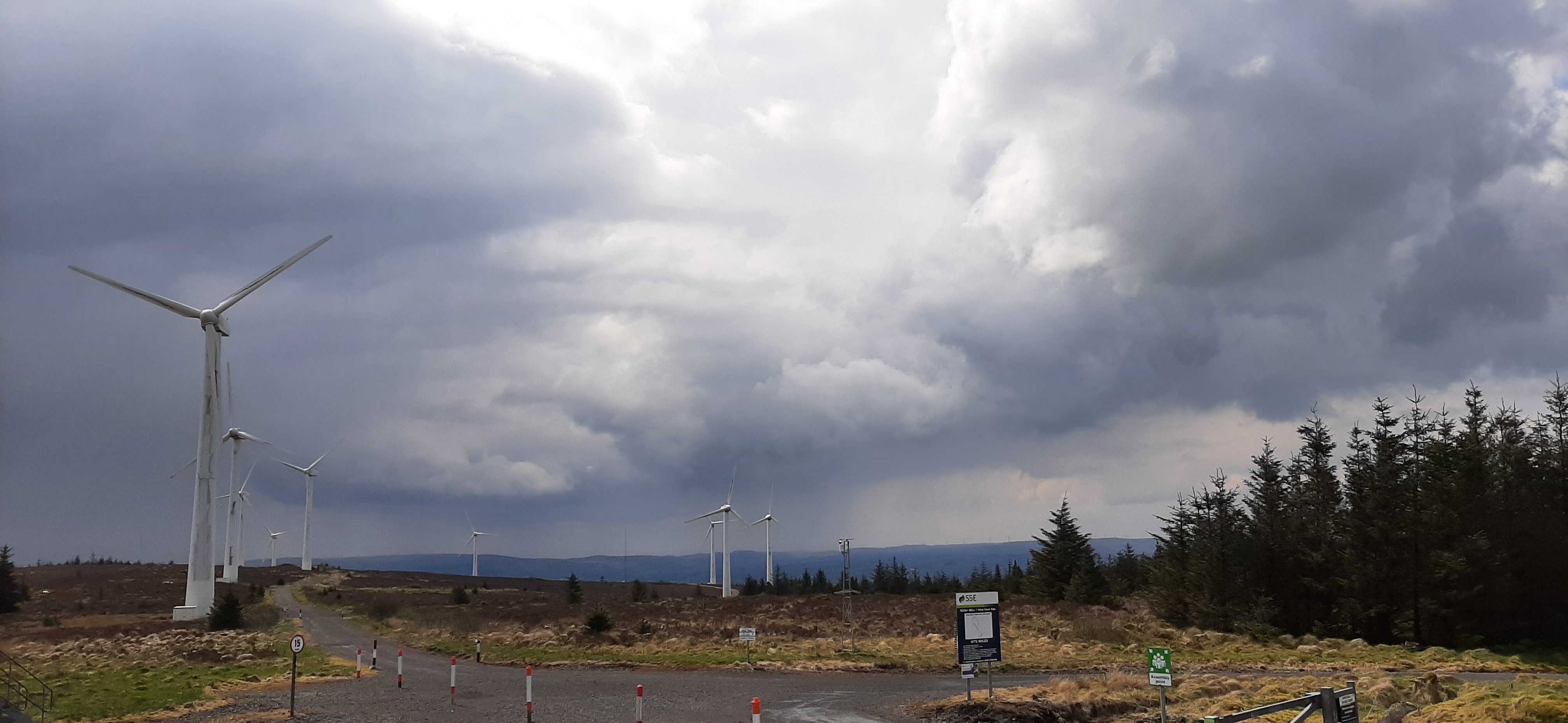
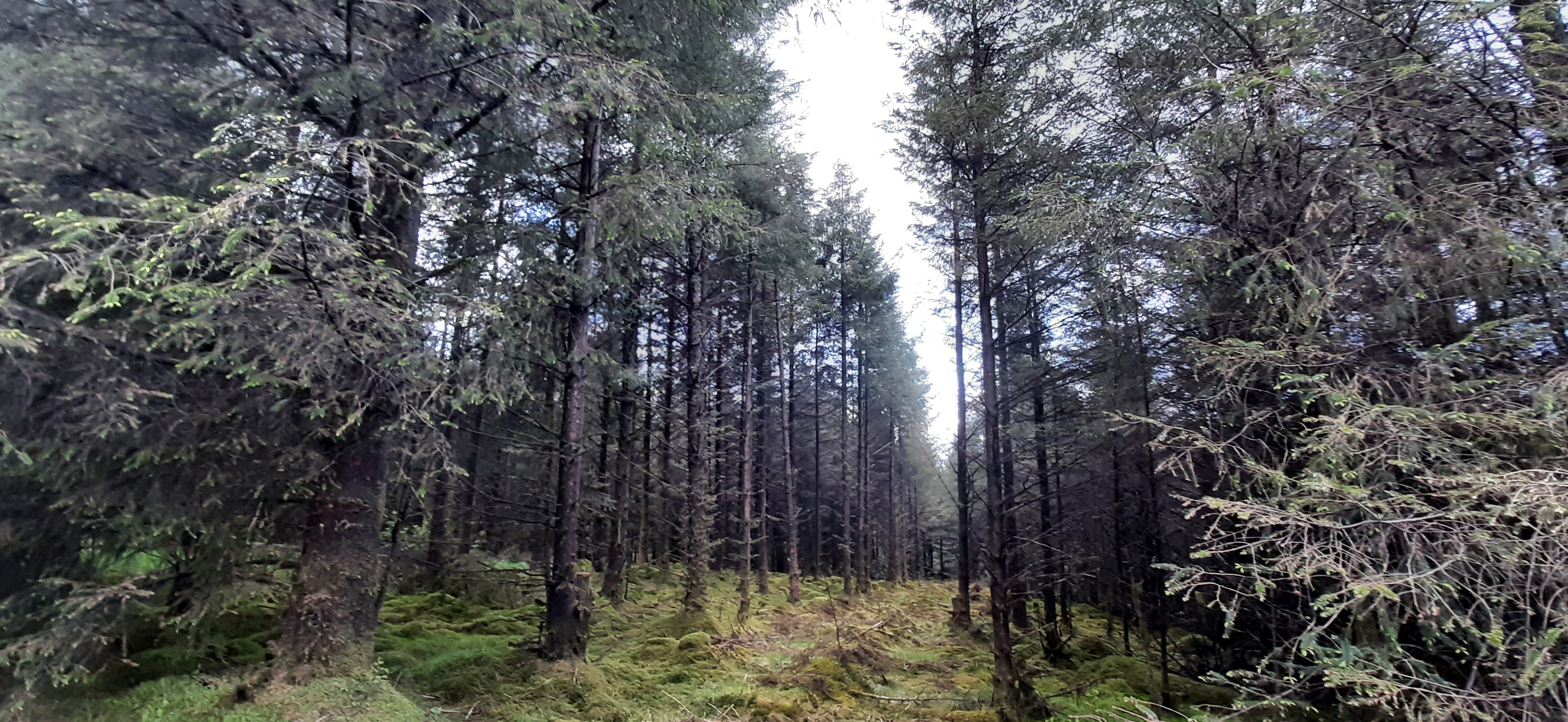
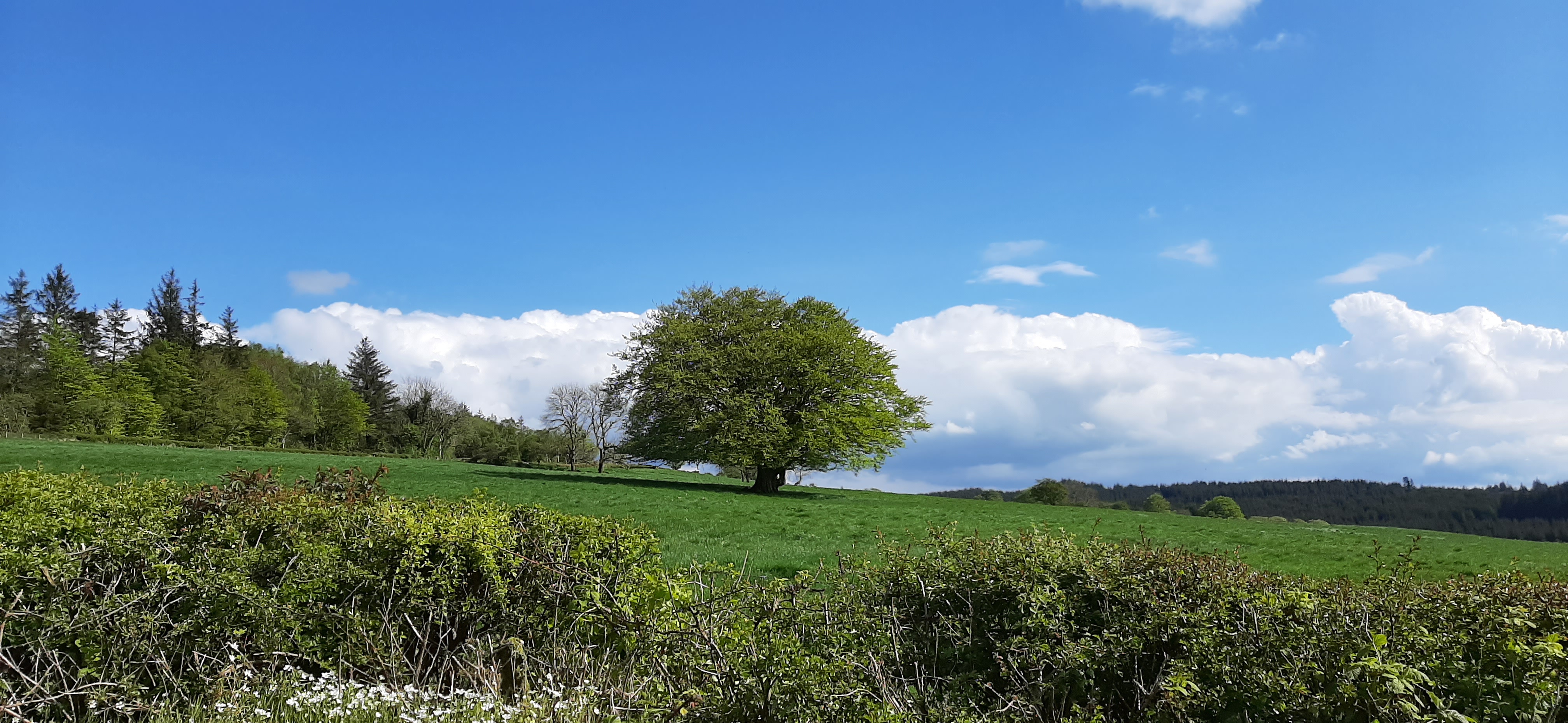
Bessy Bell is a large hill/small mountain just outside Newtownstewart and approximately 25min from home. I was last up here about 5 years ago and figured this would be a good time for a revisit. The 12km loop is completely on stone forest roads and easy for navigation. The climb to the summit isn’t too taxing (maximum height 420m) and the views are very rewarding.
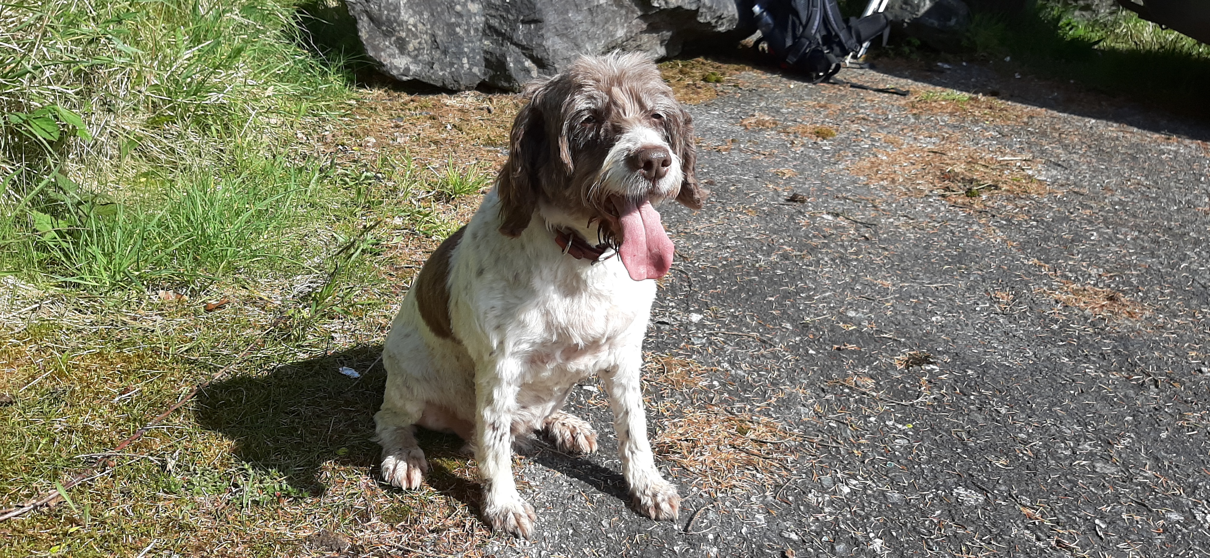
Rosie isn’t a good traveller, she gets car sick, but at only a 25min journey I decided she could come too. She’s getting on at 10 1/2 now but has been full of energy all week so I figured she would manage better than me!

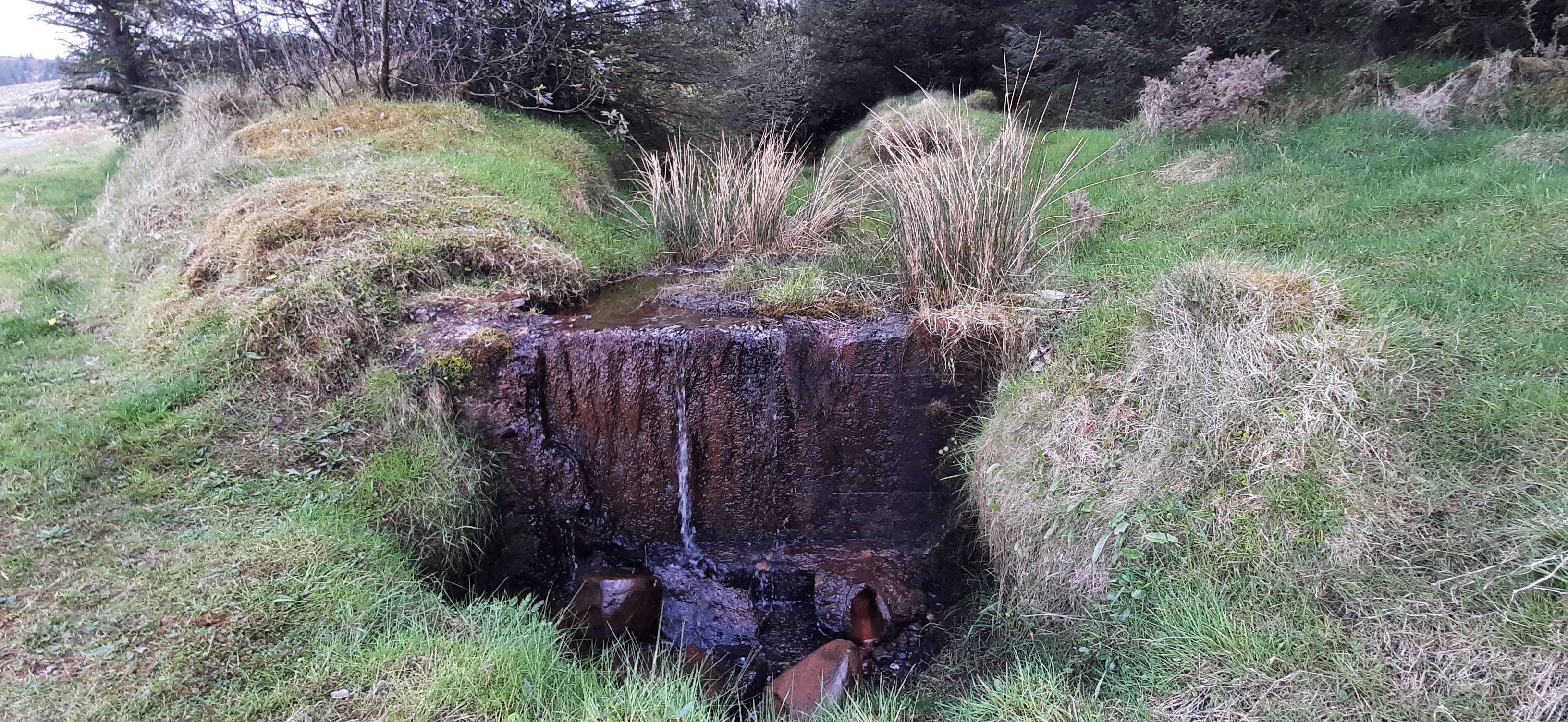


After the summit you descend most of the way by the same track before branching off to follow the Ulster Way most of the way back to the start. This is pretty level all the way with a mix of forest and clearfell areas, very easy and pleasant walking.


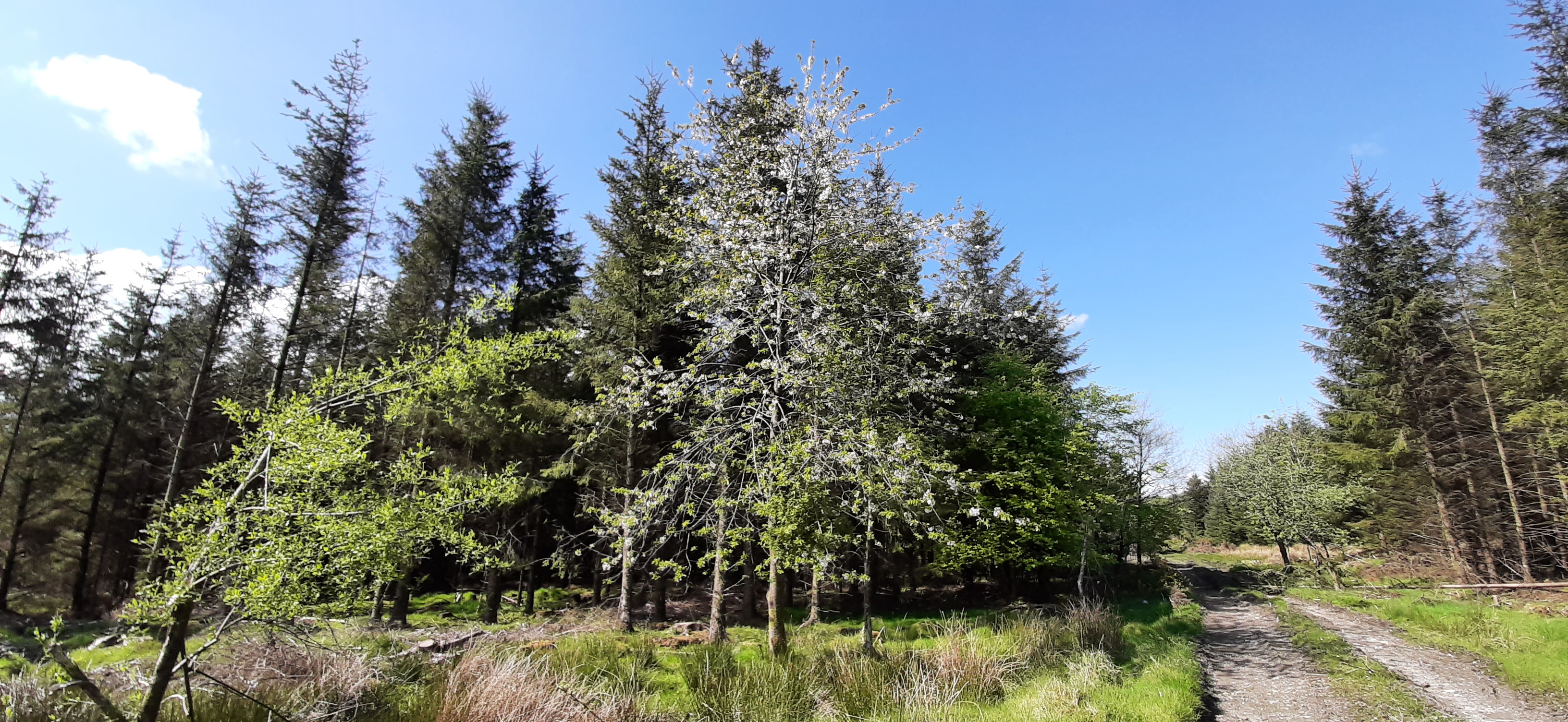


The Ulster Way is overlapped in this region by the International Appalachian Trail. New signage has been installed in the last 6 months or so and this is a later section than my previous walk in Killeter Forest a few weeks ago.


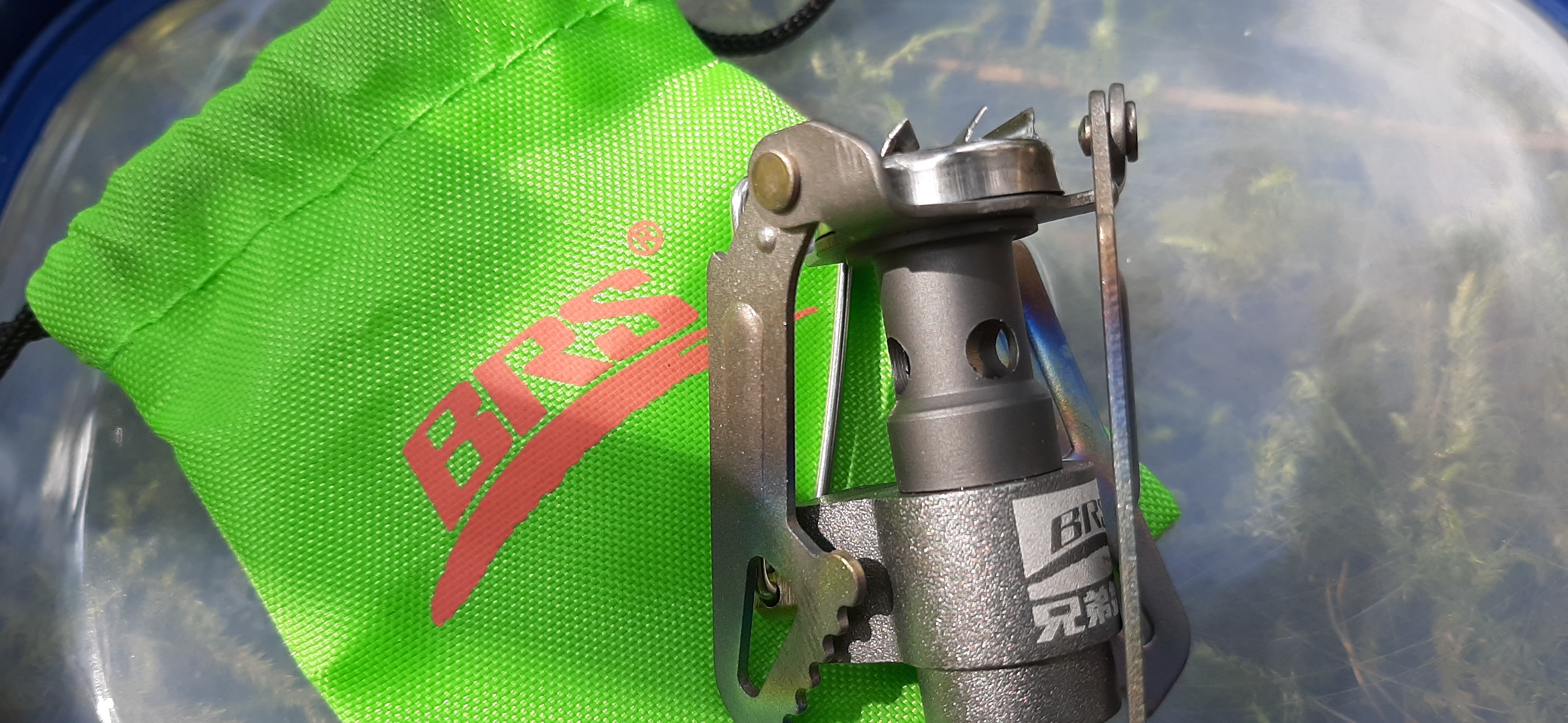
For food I took the usual packed lunch but also decided to take a gas cannister and stove for the first time ever. Normally I carry a flask of tea which usually results in a sub standard, stale tasting and lukewarm drink for lunch. Using the stove provided a very refreshing cup to accompany my sandwiches and definitely worth the slight extra weight.


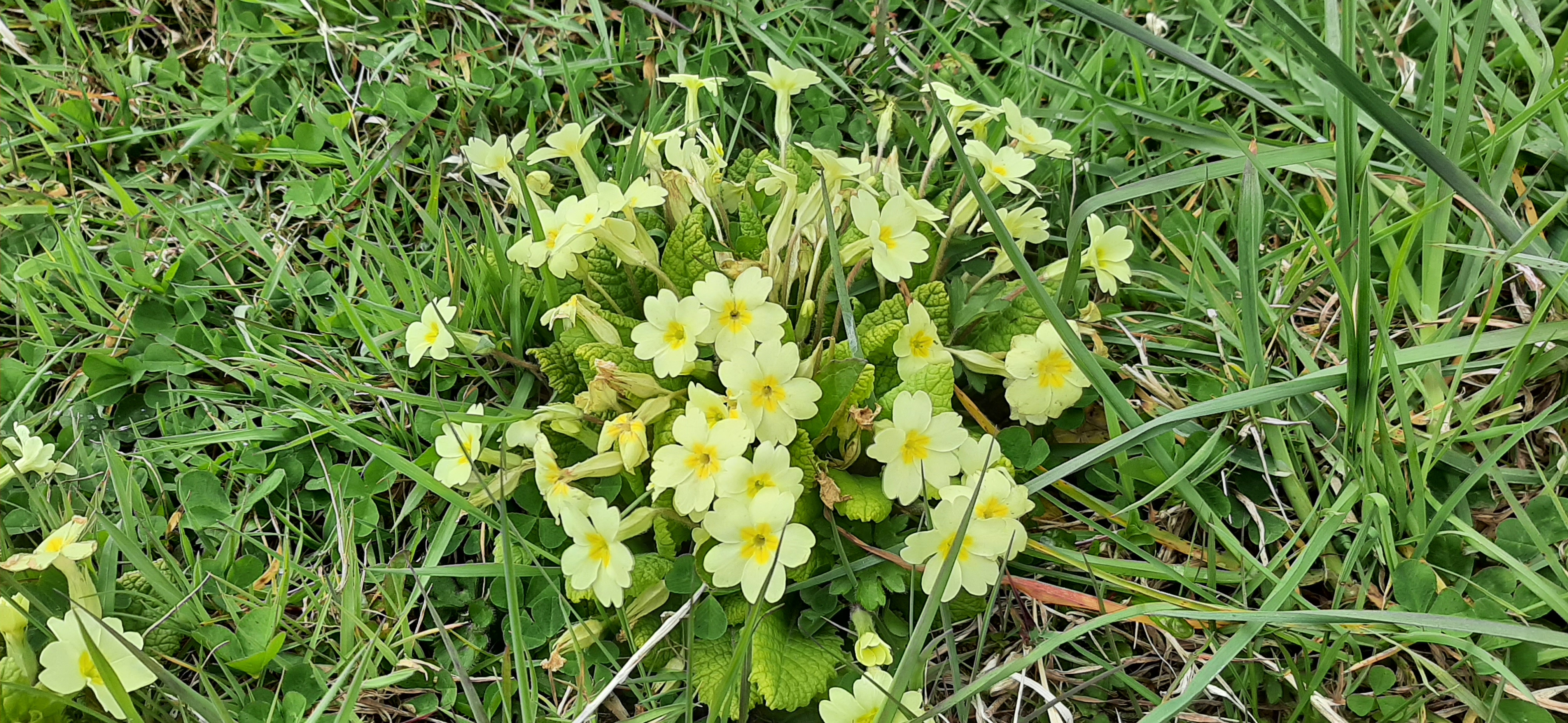
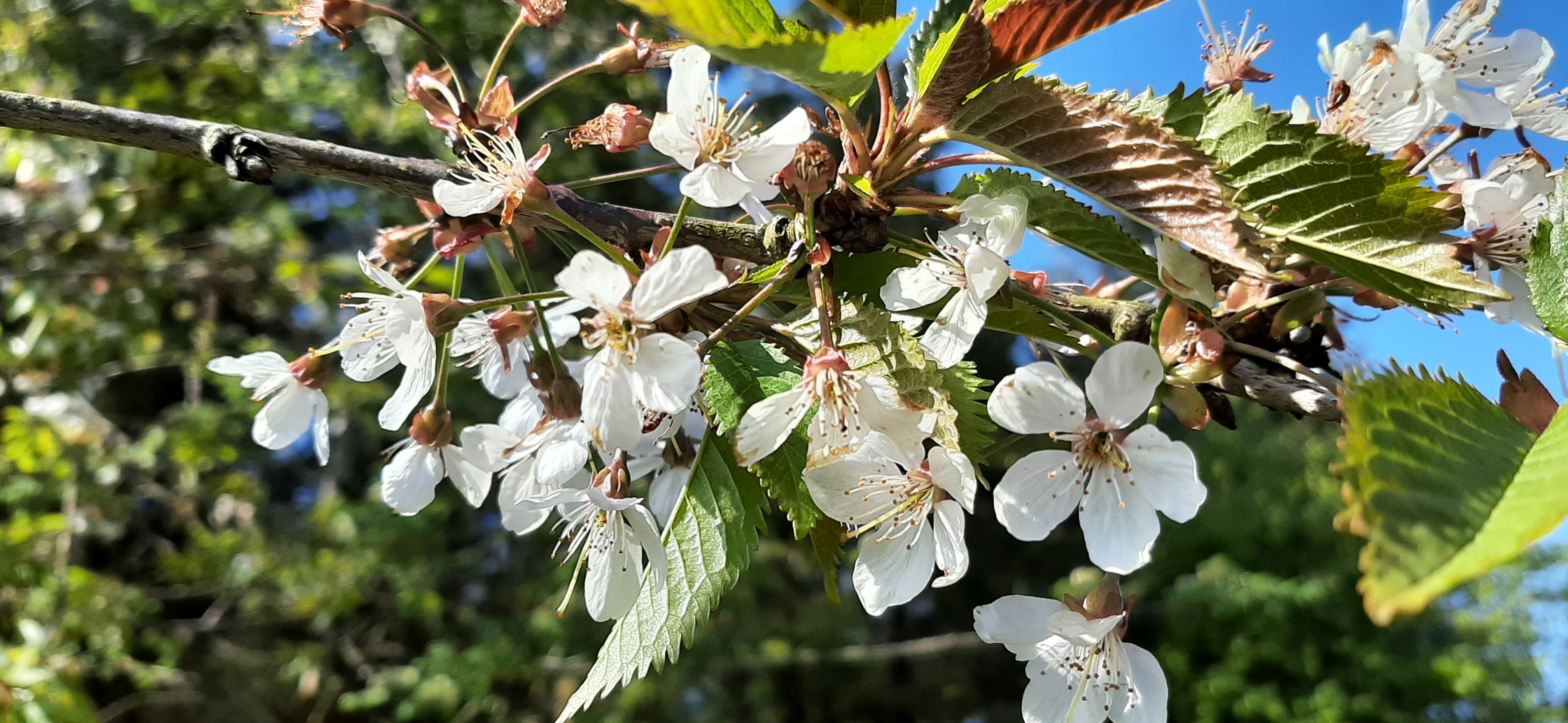
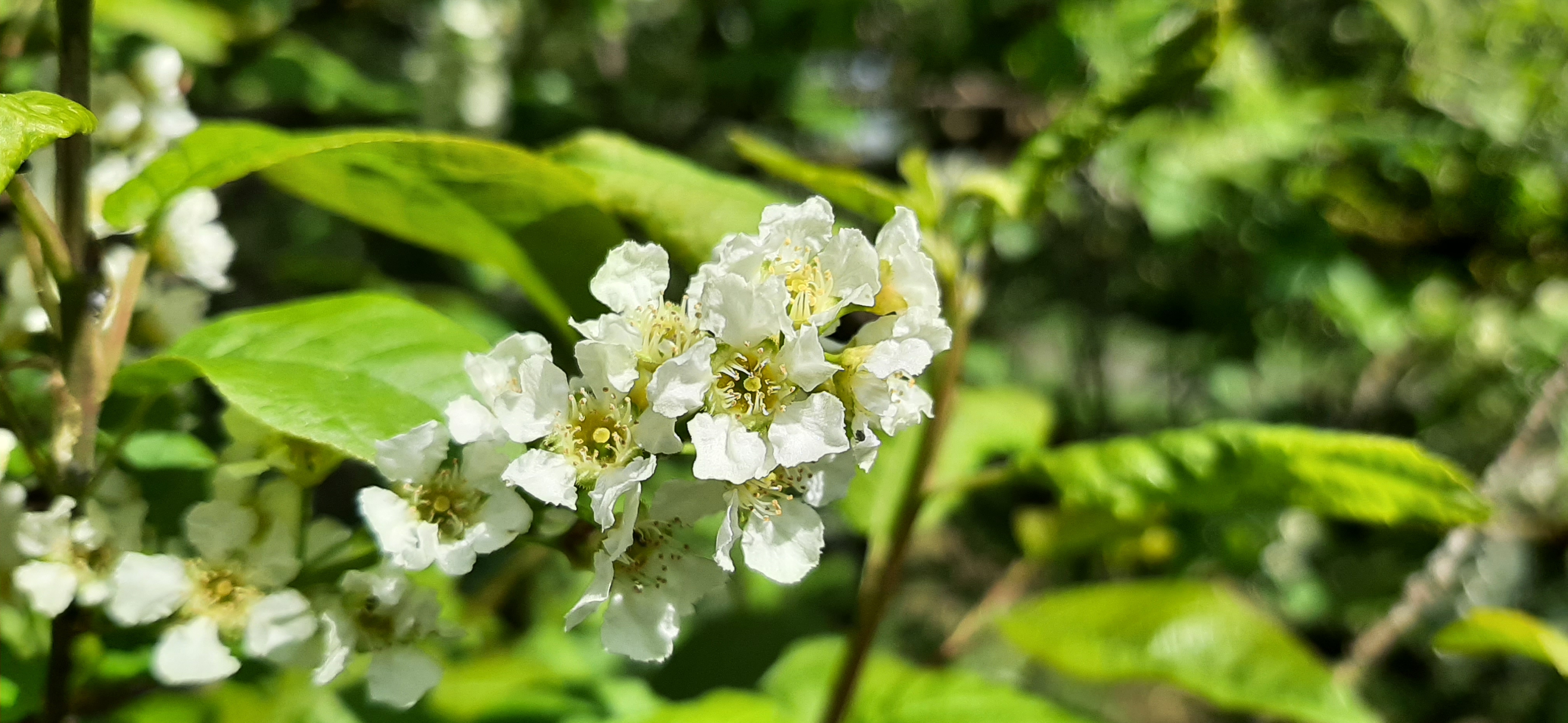
The final 1.5-2km section is along a stretch of rural road. It’s a busy enough road but quieter than I expected this time. Also there was still lots of flowers to admire and nice scenery to enjoy along the way.


Despite the rest of the country being under a thunderstorm warning it managed to stay dry, warm and mostly sunny for the day. My back coped well and has continued to improve slightly every day since. I hope to get back on the bike for short spins this week.


Hurt you back cleaning out indoors, don’t ever do that, that’s woman work, (you will get it in the neck from women’s lib, for that quip Hamilton) Love the pictures. I take it you have some sort of GPS that showed all that data, I have often thought of getting something like a sat/nave to help me find my way through cities, and back roads.
LikeLiked by 1 person
My watch records the GPS data and then the app maps and analyses it
LikeLike
Thanks for that, but sounds much too technical for me, I will have to stick to my sexton and compass.
LikeLiked by 1 person
I never heard of the International Appalachian Trail before; fascinating stuff.
LikeLiked by 1 person
Pingback: video: bessy bell hike | the idle cyclist
Lovely pics especially the flowers. A route for the list.
LikeLiked by 1 person
Pingback: metric challenge 2021: may | the idle cyclist
Pingback: meen machine | the idle cyclist