Monday is the Halloween/October Bank Holiday and in a supreme feat of optimism I also booked tomorrow off to have one last long weekend and hopefully get a load of cycling and hillwalking done. Unfortunately, the weather is determined to slap down those plans in dramatic style.
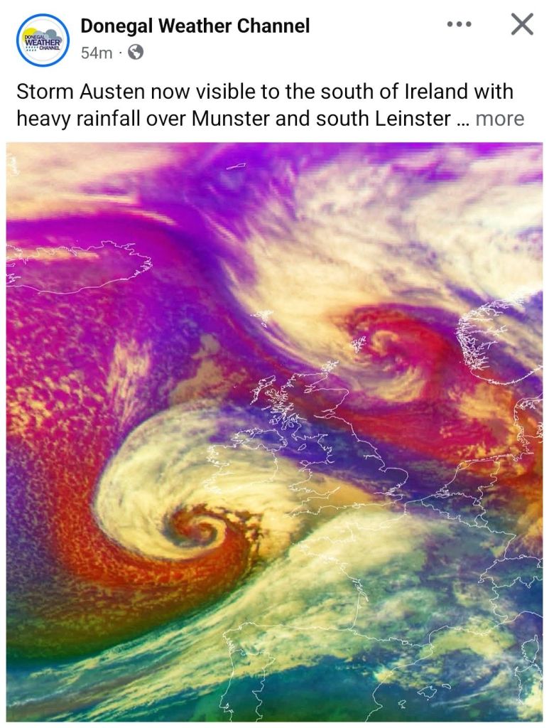
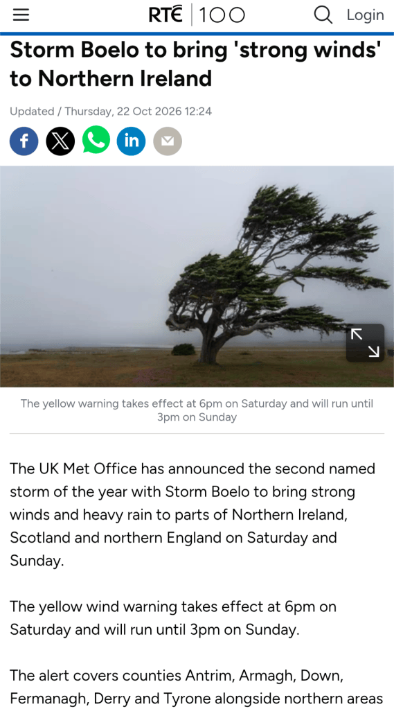
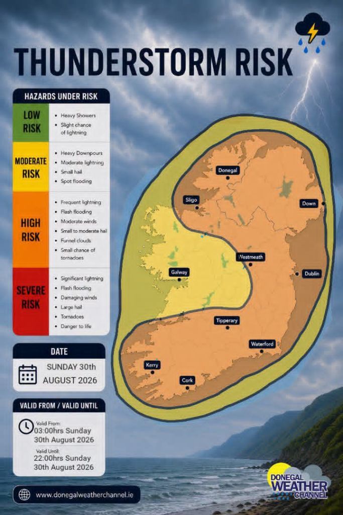
Storm Austen is coming through tonight, thankfully mostly missing us here in Donegal, but his pal Storm Beolo is following right behind and scheduled to hit the North West with a bang on Saturday into Sunday.
Made me think of this
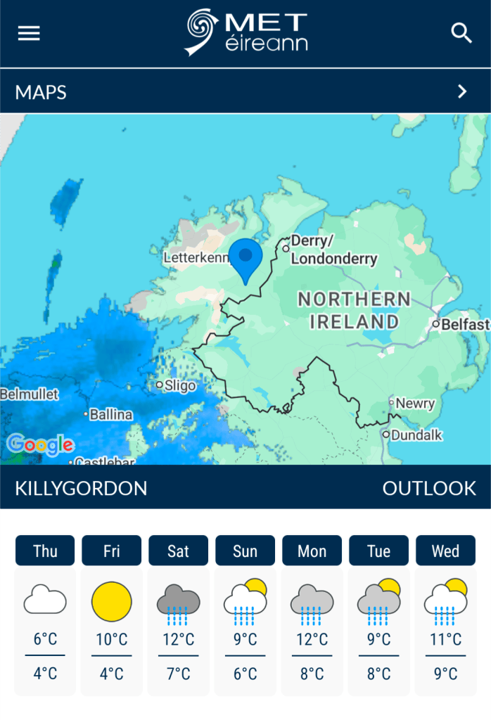
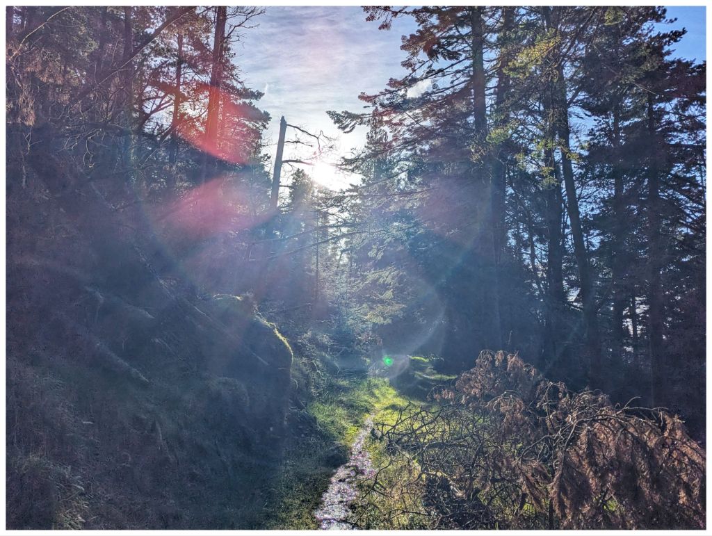
Just to rub it in, tomorrow looks to be the best day of the weekend but I have the car booked in for a service. Hopefully, I’ll manage at least a walk in the local woods in sunshine.
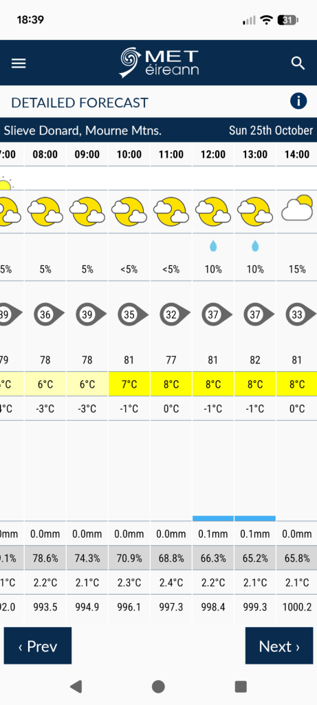
There is a slim chance that Sunday will be decent if I head East. I’ll look at it again tomorrow and Saturday but I’m making provisional plans for a walk in The Mournes on Sunday. So far, it looks like it will be cold and windy but mostly dry…
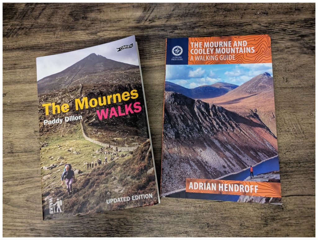
Paddy v Adrian. So far, Adrian is winning
Last Weekend
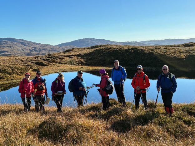
In stark contrast to a weekend full of yellow and orange warnings, last weekend was fantastically good. I attended another leader’s training session with the Bluestack Ramblers. This one was sponsored by Mountaineering Ireland so it was led by Paul Kellagher from Accessible Adventures Ireland.
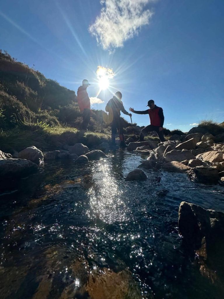
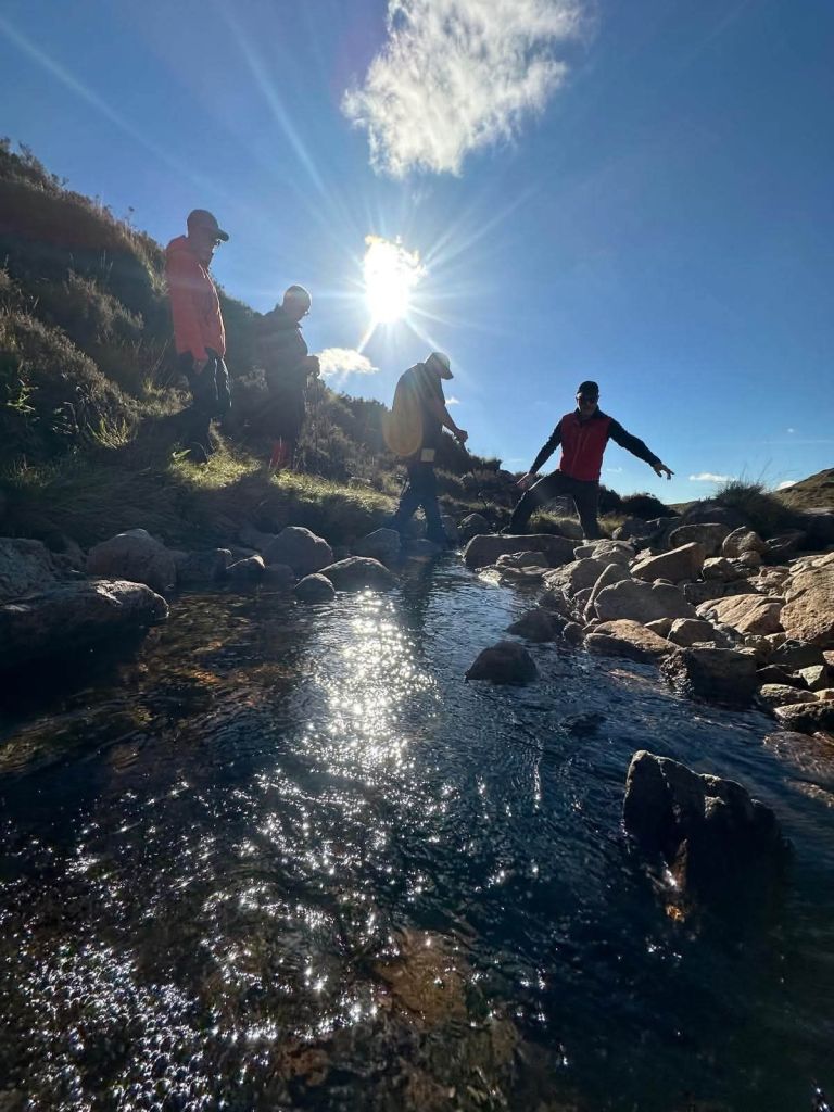
The focus was group management and covered various topics including river crossings and working on steep ground.
If we sent in a written request for the weather then it wouldn’t have been much better. One of those absolutely perfect Autumn days: clear blue skies and barely a breath of wind so lovely and warm in the sunny spells with no windchill 👌
It was a really enjoyable session and gave me a very different perspective on hillwalking, especially as a leader.
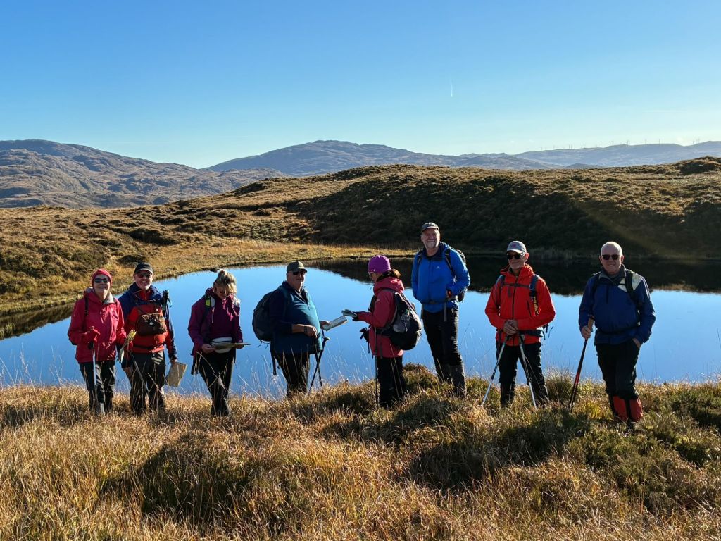
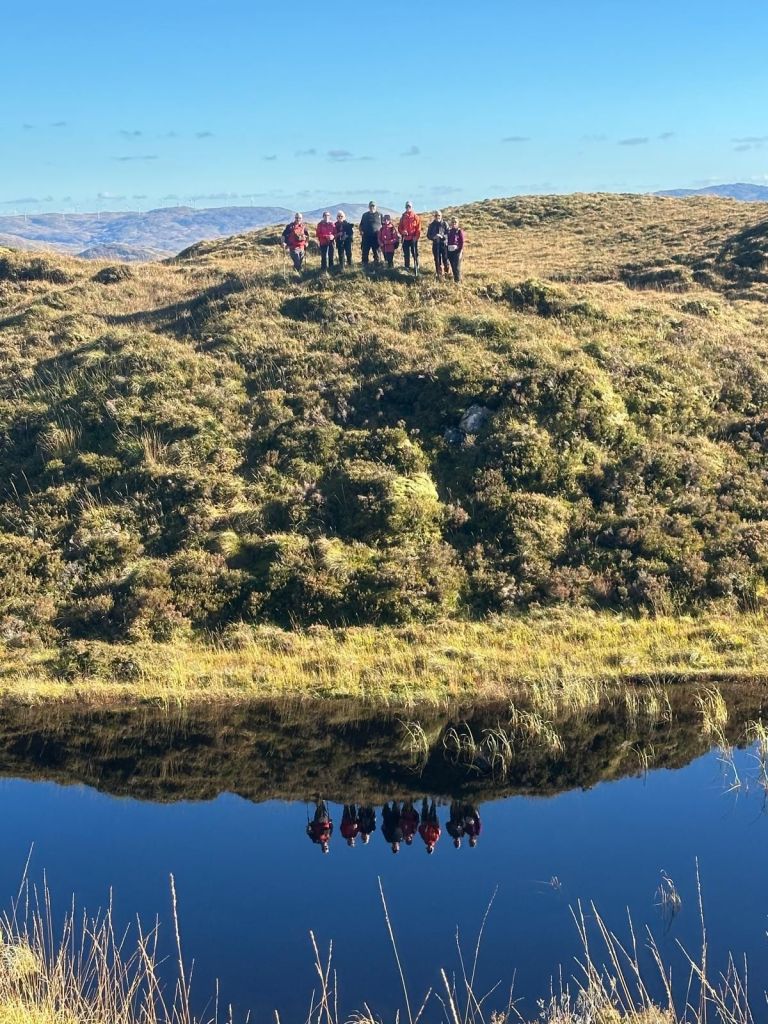
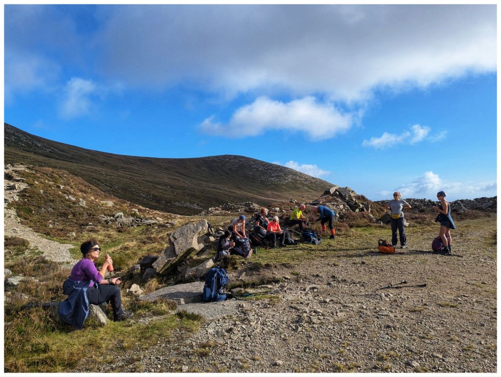
Check out Paul’s Facebook Post for loads of great photos but I particularly like these few:
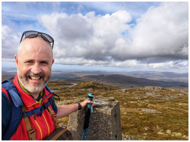
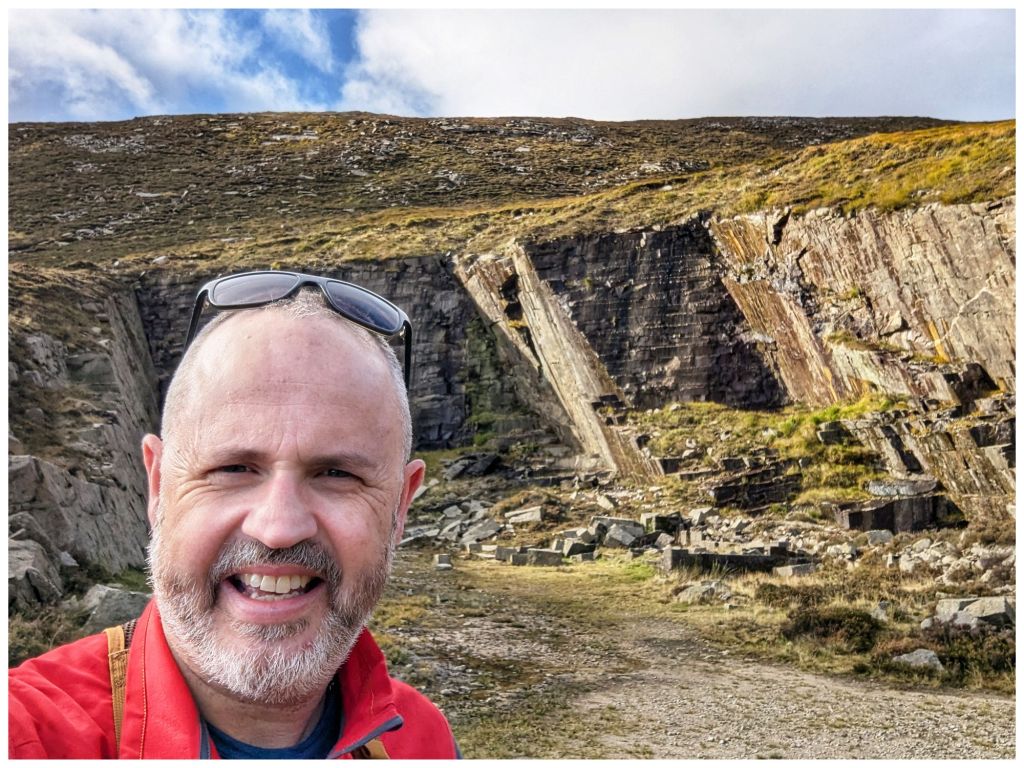
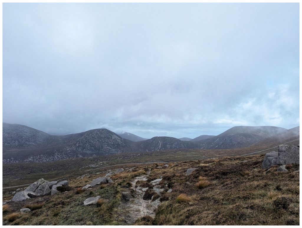
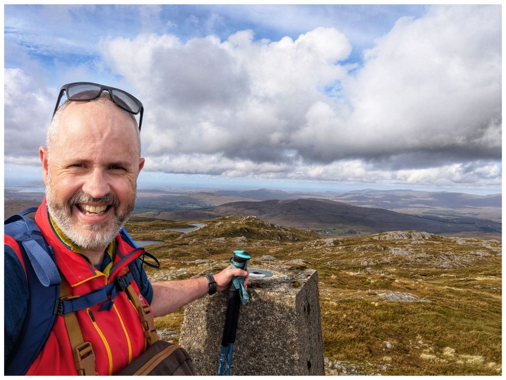
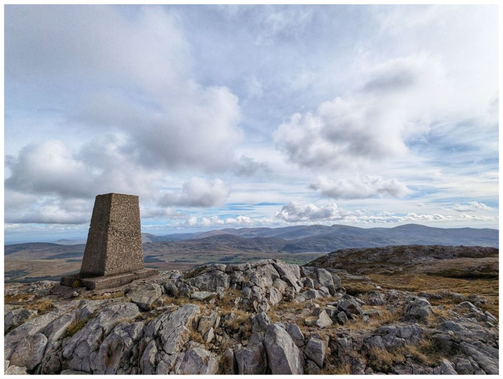
I only managed to take two myself:
Hopefully I’ll get some more great photos on Sunday ☀️🤞
It’s been a difficult few weeks at work. Lots of rumour, worry and it turns out a lot more stress than I realised. Everything came to a head this week and I finally knew that everything thing was going to be OK and that my job was safe. Once this sank in fully I really could feel a weight off me both physically and mentally. On Friday evening I realised just how much stress I’d been carrying and the release of that left me feeling almost giddy!
Mourne Mountains
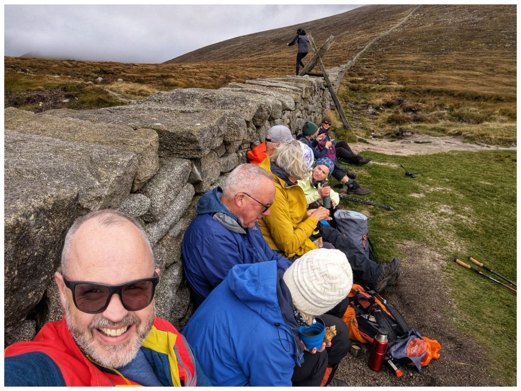
Despite, or maybe because of the stress I was out walking with the Bluestack Ramblers last weekend. It was a Club weekend away to the Mourne Mountains. I wasn’t able to make the whole weekend but I was able to make one day. With encouragement from one of the organisers I headed across on the Saturday morning. That day suited me best, it was the most interesting of the walks and the weather looked decent. Thankfully I did pick Saturday, as Sunday turned into a complete washout and that day’s walk was abandoned.
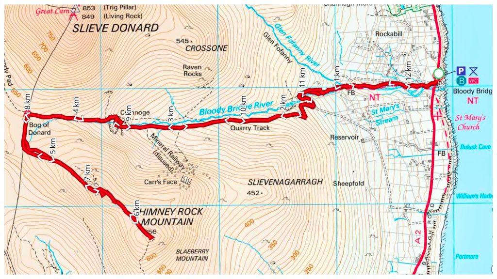
A 5am alarm saw me on the road for 6am and pulling into the Bloody Bridge car park shortly after 8:30am. On the way I realised that I was just 15min from one of my regular shop calls and that a trip to the Mournes should be a much more regular excursion for me. I’d always felt that it was a much bigger journey and one that needed an overnight stay. I was in bed early on Friday night and had a solid 7 hours sleep. If I’d camped or slept in a hostel I probably wouldn’t have got anything close to that. Expect more Mournes trip reports here from now on!
We weren’t meeting until 9am so I had loads of time for a second breakfast and to get ready. All I knew was that the walk was to Chimney Rock Mountain. It turned out to be a very enjoyable there-and-back walk up from Bloody Bridge to the Mourne Wall before heading up to the Chimney Rock summit at 656m.
The walk up follows a rugged but distinct path along The Bloody Bridge River. Crossing the river at a very picturesque ford we picked up a wide gravel path that leads to an abandoned quarry where we had a short break before continuing on to the Mourne Wall along a rougher track once again.
From the car park and all the way up we had lovely sunny and warm weather with barely a breath of wind until just below the crest close to the Wall. The weather was on the change though.
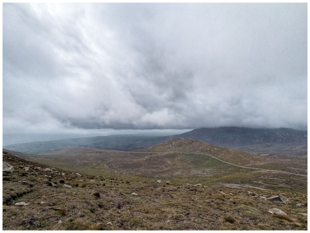
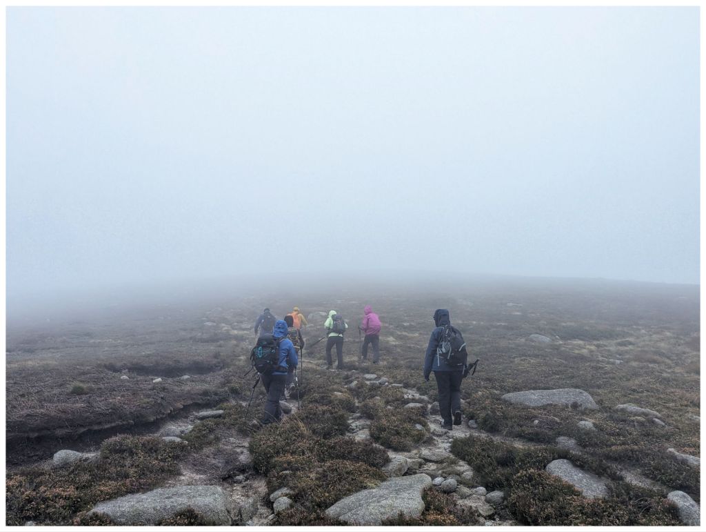
Leaving the Wall a layer was quickly added as the thickening cloud came in and dropped, threatening rain and bringing with it a significant breeze. The views were quickly disappearing and we were soon in the cloud from approximately 580m. As the cloud thickened further the wind picked up and with spots of rain and a significant windchill waterproofs, gloves and hats soon appeared.
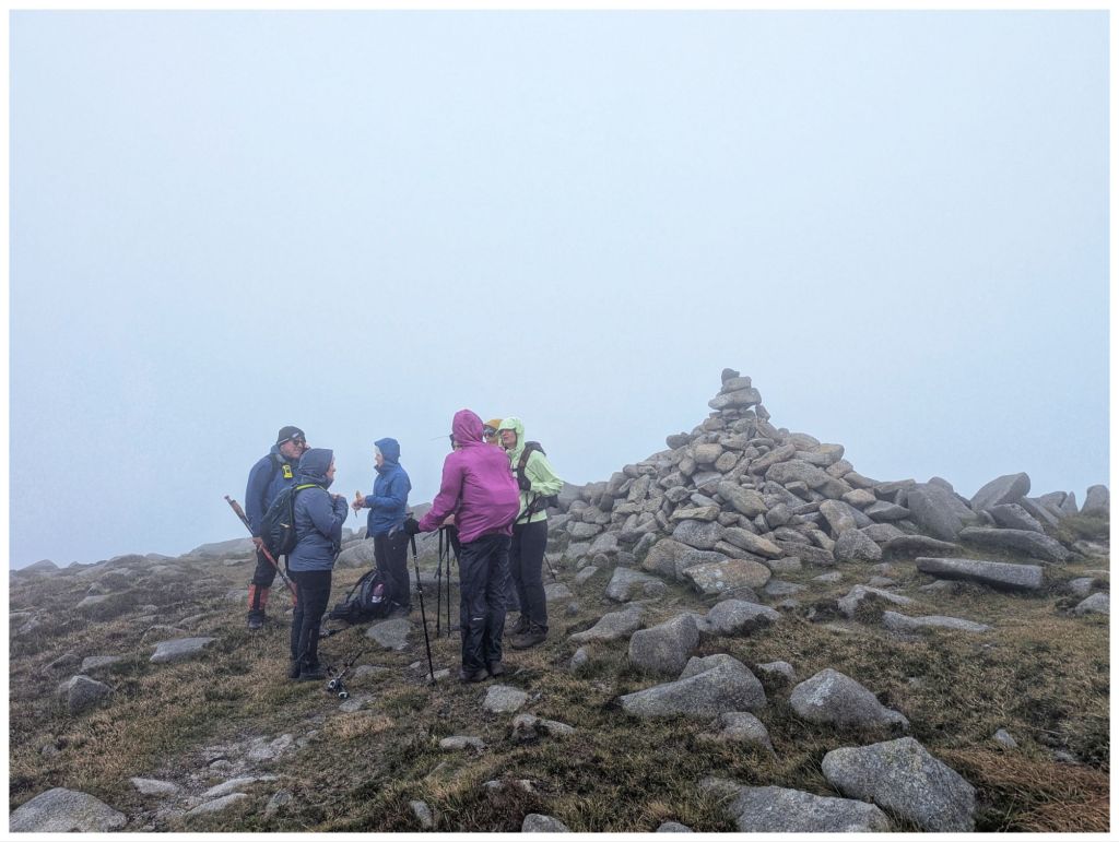
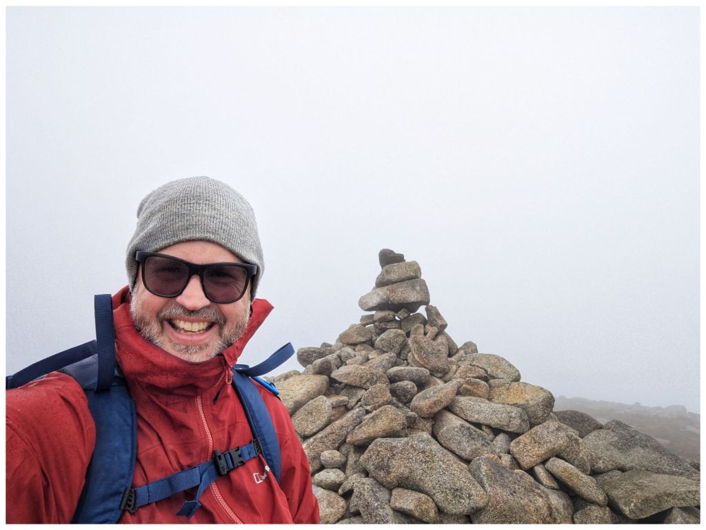
Chimney Rock has an impressive summit cairn but no views for us today as the weather had closed in completely.
With a strong, cold wind we didn’t hang around long and were soon retracing our steps through the limited visibility. Conditions had worsened a lot but we dropped out of the cloud just above the Wall again. The Wall itself provided a perfect wind break for lunch as the clouds gradually lifted.
Fed and watered we headed back down to the quarry and followed the river back to the car park with the clouds continuing to clear and finishing once again in the sun.
A hugely enjoyable day out in good company in very different terrain than what I’m used to. Getting home just before 6pm only reinforced how accessible the Mournes are.
⛰️ Chimney Rock Mountain 656m 👣 12.25km ⛰️ 729m elevation gain ⏱️ 6hrs 1min total time ⏱️ 3hrs 47min moving time
Back In Donegal
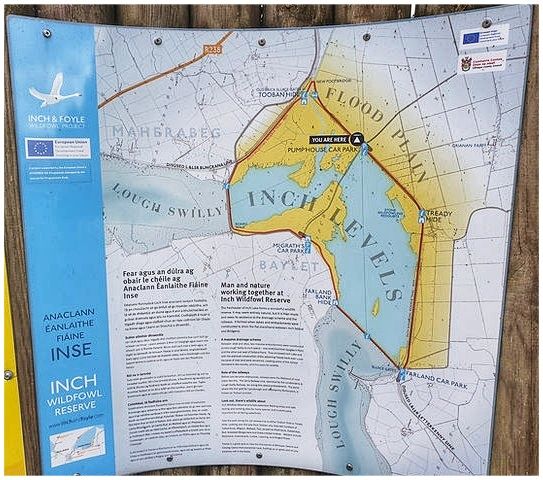
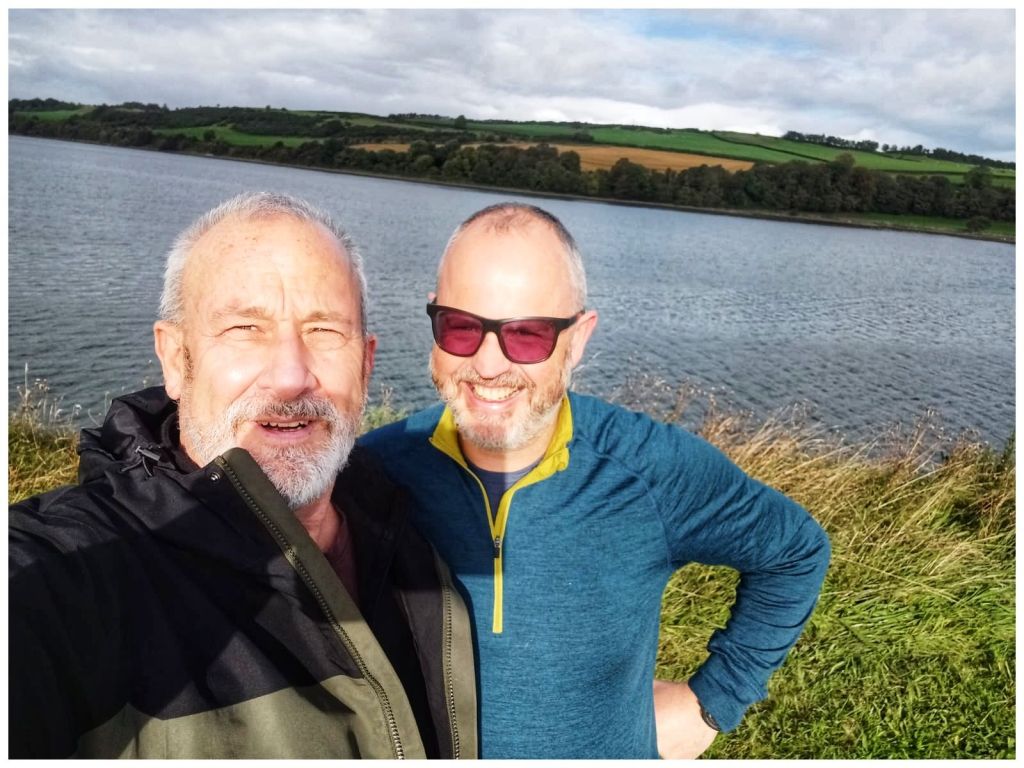
This weekend past I was closer to home. My best friend Jim was over from Scotland for a family wedding in Derry and we managed to carve out a couple of hours to meet up on Saturday morning. We headed for Inch Wildfowl Reserve and the loop walk there that explores both the coast and the island using the two artificial causeways.
It’s a great location. Lovely flat paths, well signposted with a good surface, toilets and a couple of hides. Also, lots of birds but neither of us are really ornithologists* and we are were too busy chatting and catching up after a long time not having met in person. Almost 8km in just over an hour and a half but it flew by.
*We did have one bird argument. I think I win and that it was a grebe but that may have been a win for confidence over truth 🫣🤣
Leaving Jim I headed straight for Fintown. I’m leading a walk up Aghla Mountain on November 1st. Considering the last time I was up there was November 2012 I figured I’d be better off doing a recce first!
Rosie was with me in 2012 💔
The car park is at the Glenties end of Lough Finn and driving out of Fintown Aghla rises impressively on the left, above the lake. When you get out of the car it’s looming directly above and feels more like a wall than a mountain!
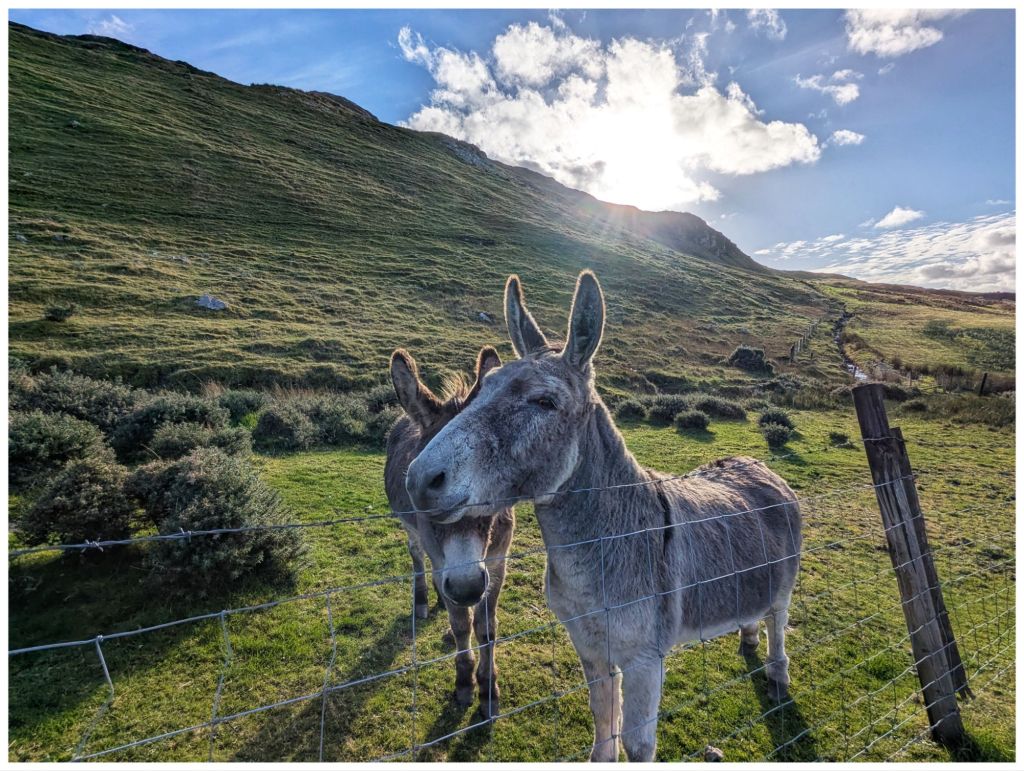
A short road walk along the Lough brings you to a gate beside a small house that marks the entry point to the hill. If you’re lucky you might make some new friends here…
They followed me for a bit until I crossed a gully
Hitting the hill after the gully and it’s straight into UP! The first section contours across the hill so it’s not quite as tough on the legs and lungs but soon after crossing a fence it’s straight up and even steeper. It’s not quite scrambling but not far off and I made good use of the poles to make sure of every step. I didn’t fancy sliding backwards on that slope!
The views come quick and fast on steep ground
Climbing up to and around the side of a rocky crag, towering above me, I finally made it to a flatter area to catch my breath. 2km in 1 hour including the walk in along the road!
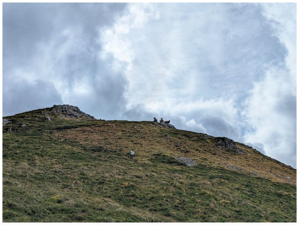
More locals keeping a close eye, not as friendly this time
Having caught my breath and settled my legs that were in shock after the easy 8km in the morning it was back to Up again. More steep, rocky and really enjoyable ground and I eventually reached a small rocky crag at 545m overlooking a pair of unnamed lakes just below. Another cracker spot to have a short break and a quick snack to make the final push to the summit. From the crag I could see the trigpoint on the rocky top.
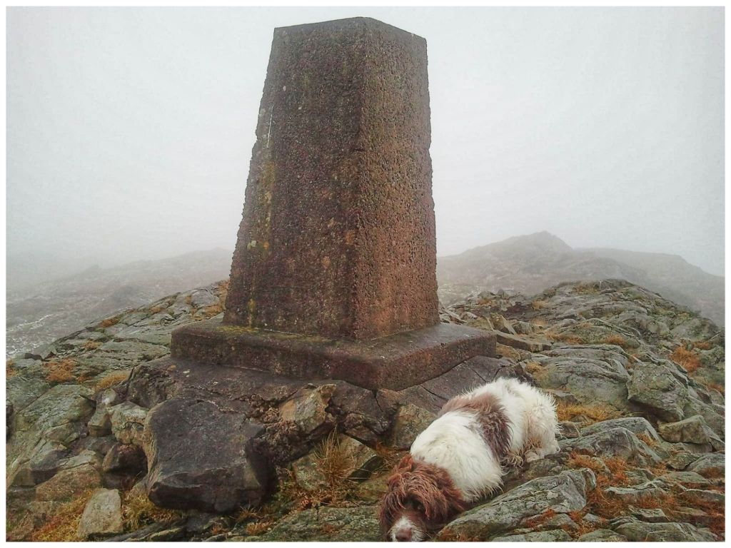
Dropping off the crag I briefly descended approximately 20m into a shallow, squelchy gulley before hitting more rocky ground and heading for the summit. Navigating through rocky outcrops I almost stumbled upon the trigpoint at 593m getting there quicker and easier than I had expected. 1hr 45min for just under 3.5km but not bad considering how slow the first, steep ascent was.
There’s a second summit (Aghla South Top) at 589m. My original plan was to head over there before returning to the summit and descending. However, my legs were tired from the morning and I was much later in the day than normal so decided to save the extra 1km and keep it for the Club walk instead.
There was a significant breeze on the summit with a cold edge but the rocky top provided a nice windbreak that allowed me to sit in the sun in comfort and enjoy my lunch.
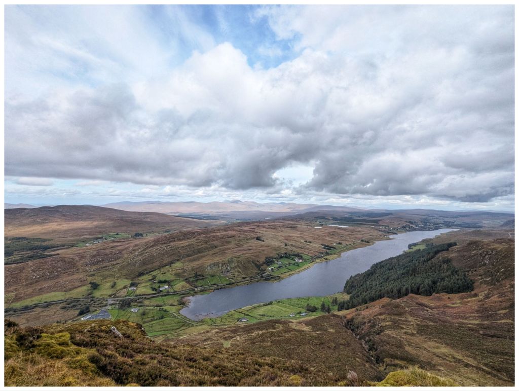
The view from the summit is fantastic. It’s a true 360 and with high cloud and bright sunshine I was able to enjoy it to the full. One of the best Donegal mountain views in my opinion.
The descent was very enjoyable. A nice rocky section along the top before dropping down but nothing as steep as the climb up. The ground was squelchy but not boggy and was easy enough walking. It also gave me a chance to practice some of my recent navigation training matching the map to the ground and taking some bearings.
With cliffs towering above and a small stream accompanying me the first descent was very enjoyable, reminding me a bit of Binevenagh.
Before long I was on the final drop off the hill and on to the rough track that heads through the forest along the edge of the lake and back to where my hairy friends were waiting to say goodbye.
The forest seems to have been left unmanaged for a good few years so there were a number of trees down across the track but nothing that couldn’t be clambered over or around. Loads of streams crossing the path and neglect gave it a nice wild feel that you don’t often get in plantations.
Back along the tarmac track the way I came in and I was back at the car, tired but smiling. I was delighted I’d made the decision to go ahead with this walk despite the late start. Really enjoyable and perfect weather. A nice way to celebrate the end of the week.
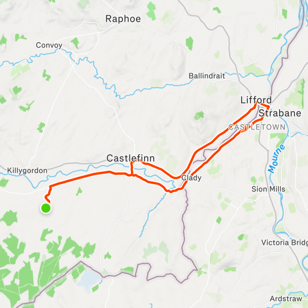
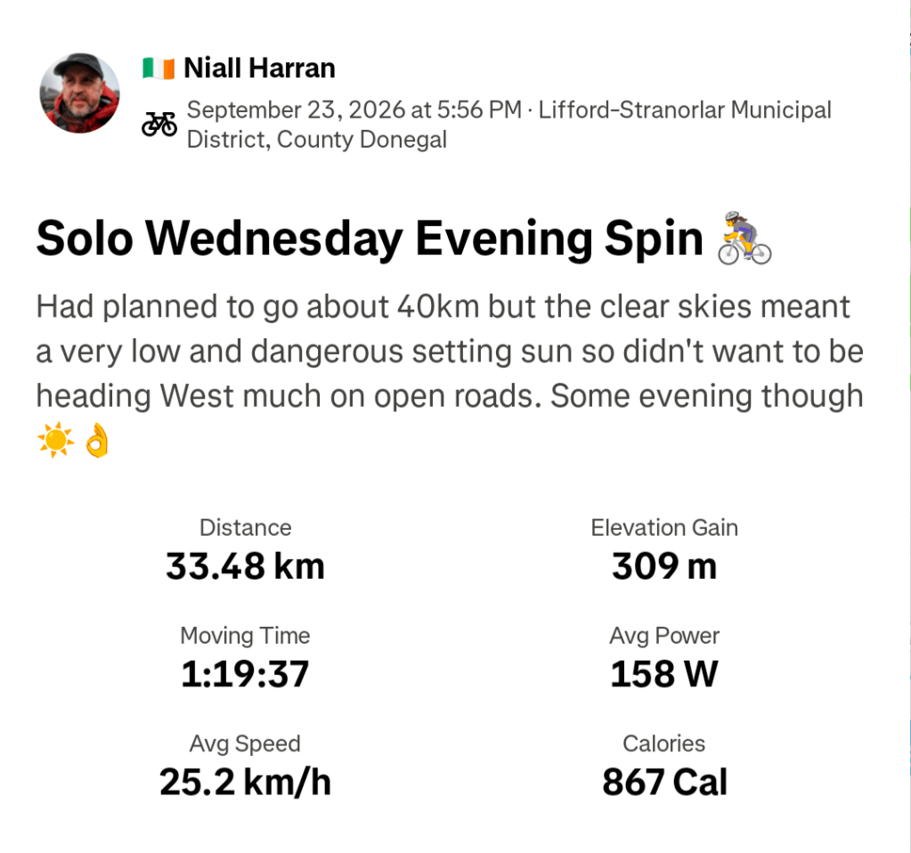
So what’s missing from the last two weeks? Yeah, not much cycling. I did manage one evening spin after work on the 23rd. It was a lovely sunny evening that meant a dangerously low setting sun so my planned 40km route became 33km to use the Greenway and stay off the roads as much as possible on my way home.
With Autumn coming in, shortening days and messy weather I’m finding it difficult to motivate myself out on the bike. Thankfully, I’m really enjoying the hillwalking and I have a feeling that will be my main activity over the Winter.
Today’s original plan was to complete a Club Hike to the highest point of the Bluestacks at 674m. However, with thunderstorms and heavy rain in the forecast the decision was made yesterday afternoon to call it off.
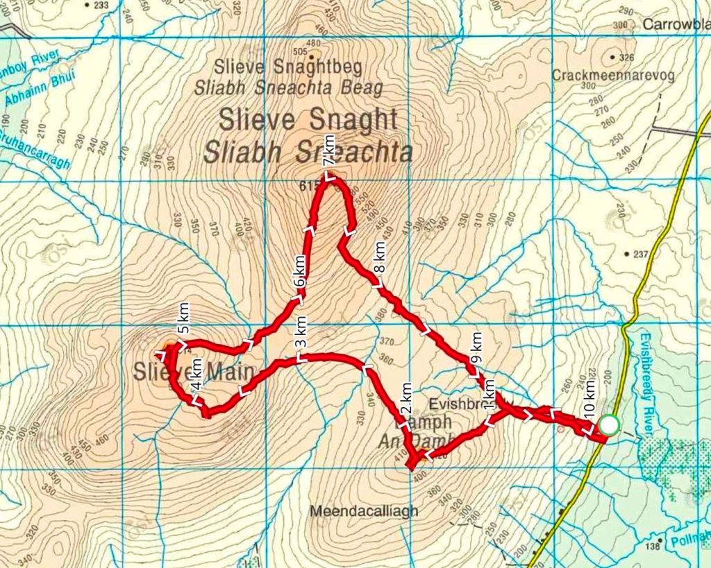
Looking at the forecast this morning I thought that was a bit over-cautious and decided I had a decent weather window to tackle a walk I had downloaded a few months ago to take in Slieve Snaght and Slieve Main. At 615m Slieve Snaght is the highest point of Inishowen, an Arderin, the only Vandeleur-Lynam in Inishowen and one of the 50 highest summits in Ulster. Slieve Main (514m) is also an Arderin, one of only 3 in Inishowen, meaning I’d get two of the three in this route.
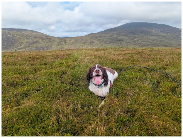
I also decided to take Cooper with me. I have a decent waist belt now and the adjusted lead is at a good length to let him wander without being too far away from me. I had some concerns about sheep grazing but decided it was worth the gamble that I’d be able to keep him under control.
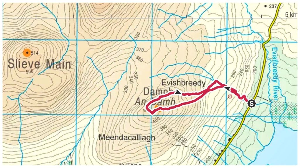
The route starts with a climb to the top of Damph. At 420m it’s too low to appear on any significant lists but I figured it would be a nice loop and would add a bit of variety.
Starting from the road it’s straight up a steep track for a few hundred metres. No time here for much of a warmup! The track mostly follows a small stream and when the track eventually peters out the stream is a handy guide.
There were a few sheep on this section that wrecked Cooper’s head. It’s like a chip switches on that just makes him want to run. However, I was reasonably pleased how he mostly came when I called and didn’t haul much on the lead.
The ground from the get-go was hard going. Lots of holes, wet spots and humps of grass and rushes. It’s a terrain that’s hard to describe but it is really difficult going. My calves were soon burning. Crossing the stream I angled across the hill before meeting and crossing a fence. This one was tricky with Cooper as it had barbed wire on top. I was wary of him pulling the lead at an inappropriate time leaving me snagged. I tied him off to a fence post with the lead, chucked him over and then crossed nearby, with just my own clumsiness to deal with.
I was still angling WSW but with a change of terrain it was now straight up. The ground became increasingly rough with lots of little gulleys and humps that drained my legs and left them feeling like concrete.
A second, easier, fence and a couple of false summits and I finally reached the top. Or did I? Damph is a featureless summit with 3 or 4 small mounds, any of which could be the highest point. With no clear marker I tramped over them all just to make sure!
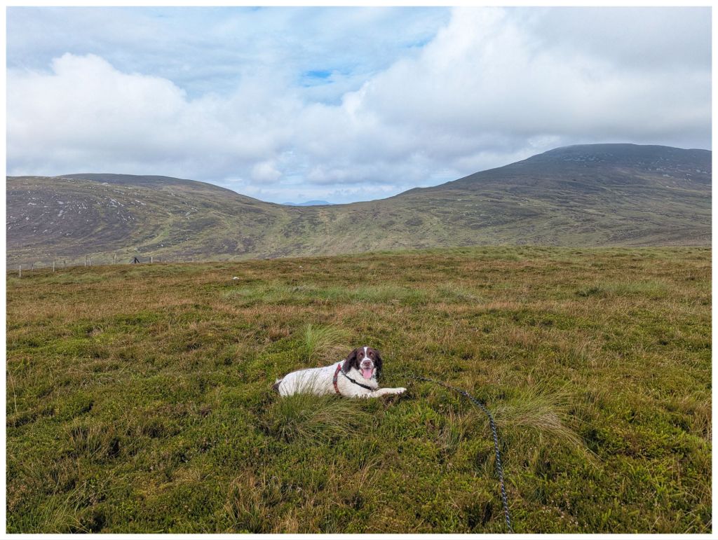
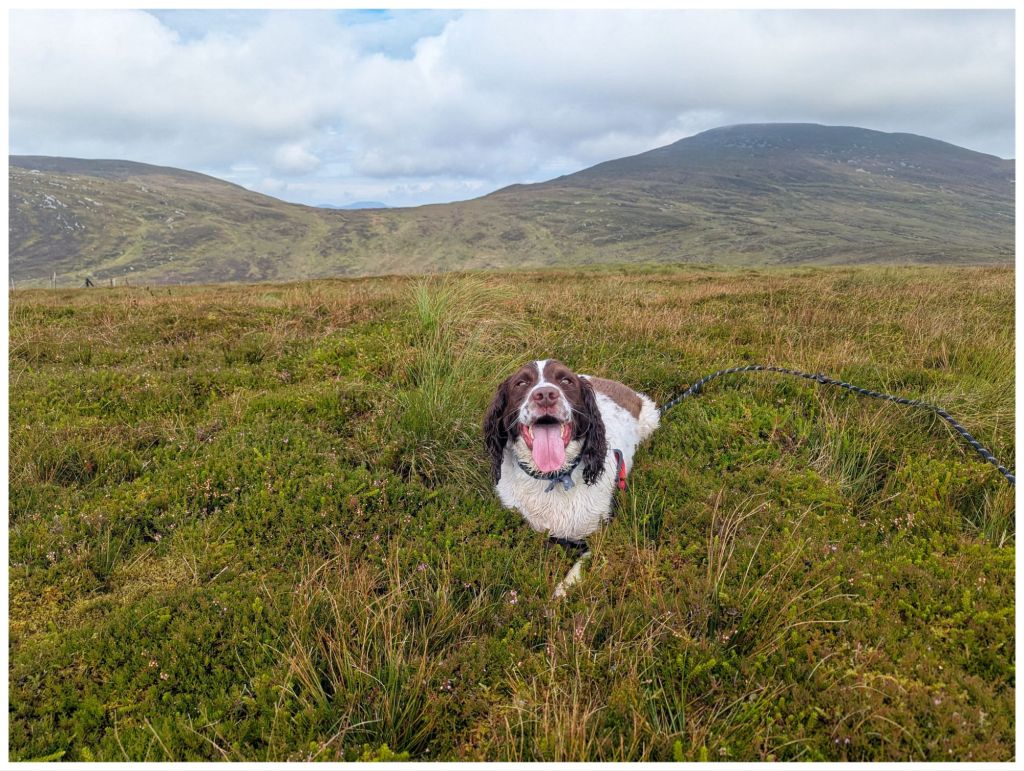
It’s hard to get Cooper to sit still for photos but somehow I managed to get a few shots of him with Slieve Main and Slieve Snaght in the background.
At this stage I could see the full route ahead of me. It was a steep descent into a coll before a steep climb up to Slieve Main, followed by another descent and climb up Slieve Snaght and then descending back to the start. The coll before Slieve Main looked horrible, lots of boggy bits, more gulleys and rough as hell. Judging how tired I felt with just this first hill I knew I was way out of my league today and decided to cut it short. My legs were suffering badly and I knew the climbs ahead would be slow and painful and basically I wasn’t going to enjoy it.
I’ve read some of the route and summit descriptions on Mountainviews.ie and they describe Damph as easy enough but with difficult ground. Maybe those guys are fitter than me but I struggled today. Maybe it’s tiredness? I had a long week at work that left me pretty worn out this week and I don’t think I recovered enough since Friday.
Whatever the reason, I reluctantly decided that was enough for today and after a circuit of the summit I headed back to the car, eventually picking up my route out and following the earlier stream and track.
Cooper got quite muddy on the track so I decided he needed a dip in the stream. I found a little pool with about a 20cm drop into it. He wouldn’t go in! A shove got him mostly in but he managed to get his front paws on the bank and fought like hell to avoid going in any further. He was getting distressed so I hauled him fully out and I got the dirtiest looks once he’d shaken himself off. Trust was gone now as he wouldn’t even paddle in the shallower bits, even when I stood in them myself! Funny how he has no problem running through muddy drains though!
Walk Stats:
Total Distance: 3.7km
Elevation Gained: 260m
Total Time: 1hr 35min
Moving Time: 56min
Damph in Irish is An Damh, meaning ‘the stag’ or ‘the ox’. Today felt more like an ox day!
Sawel or in Irish Samhail Phite Méabha. This translates to ‘the likeness of Méabh’s vulva’ proving once again that Irish men have always been obsessed with female body parts!
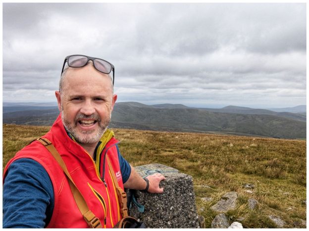
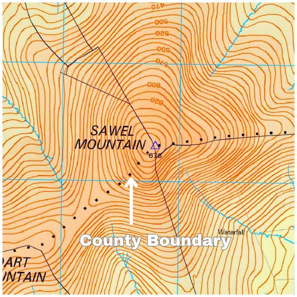
Sawel at 678m is the highest summit in the Sperrin Mountains, the 8th tallest in Northern Ireland, the tallest in Northern Ireland outside of the Mournes but, more importantly, it’s the County High Point for both Derry and Tyrone as the summit sits on the traditional border between the two.
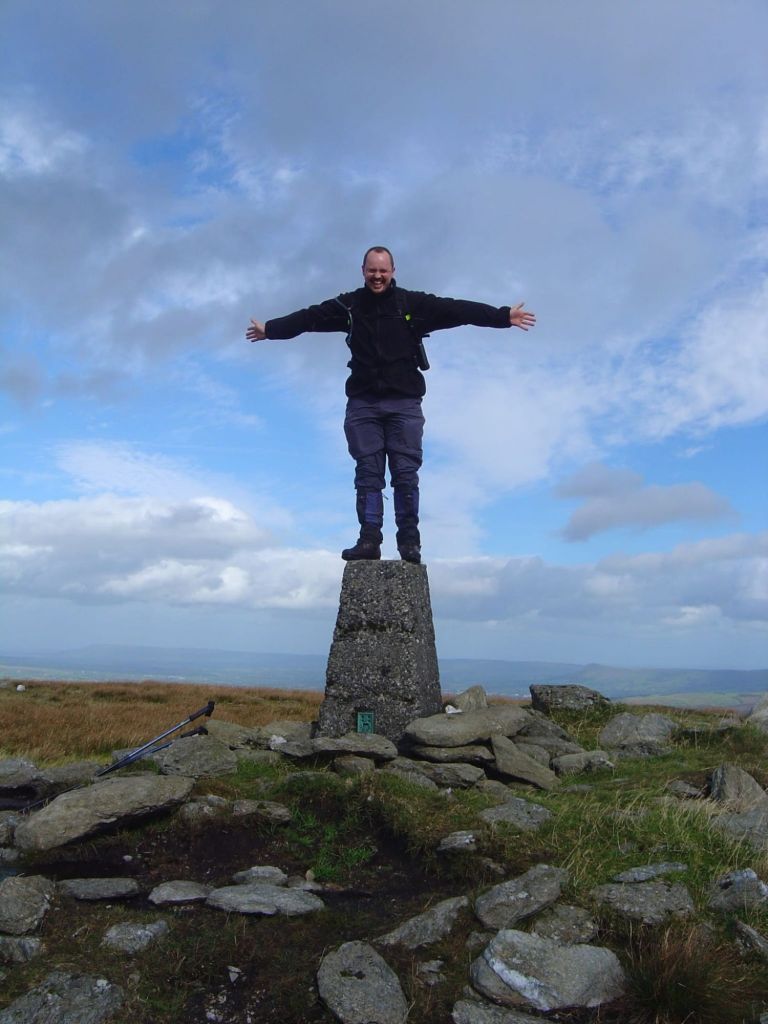
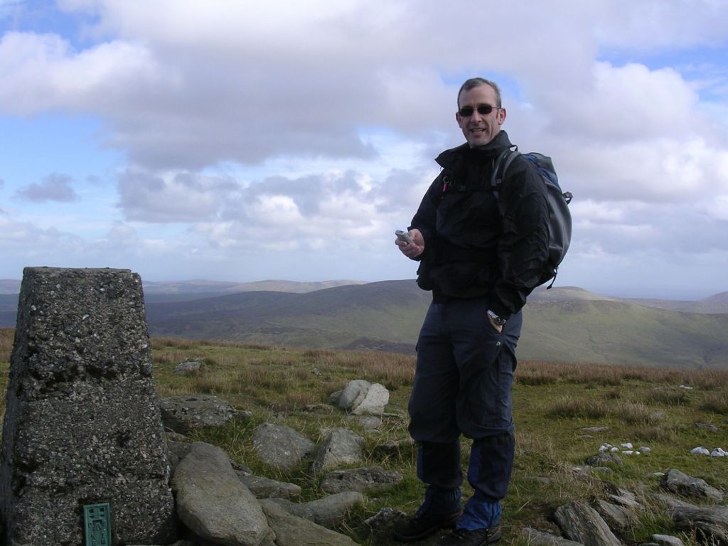
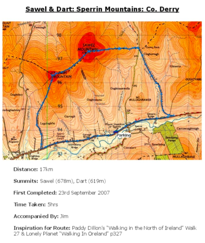
I have been up here before. It was 2007 with my friend Jim. It’s strange how the mind works as it feels much longer ago than 2007 but also feels nothing like almost 20 years ago!
Much younger versions of both of us!
That day we walked a pretty long 17km route with a big section of road that straddled the start and finish.
From my offline logbook I was keeping at the time
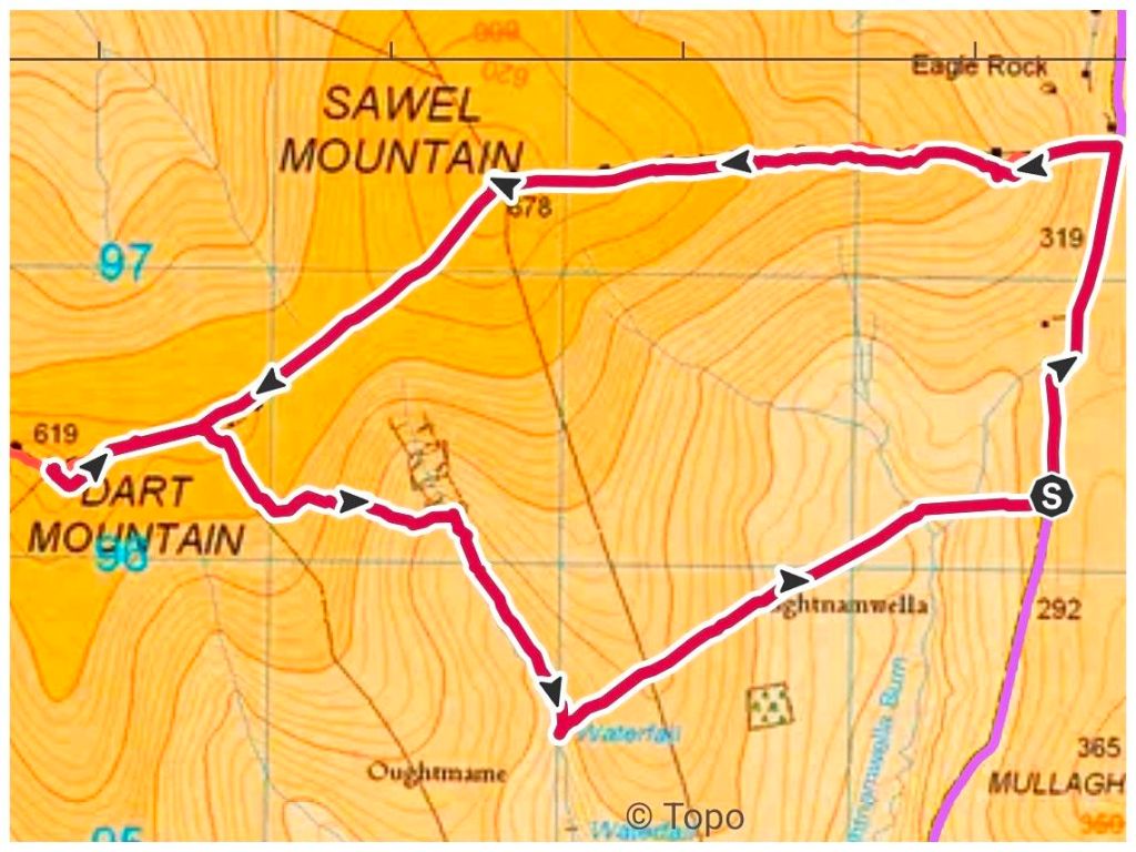
This time I wanted something shorter with less road walking and found a good route on Mountainviews.ie Predicted at 9.5km and only 1km on road.
I parked in a small layby right where the route pops back out on to the road at the finish. This gave me a 1km walk to the start of the off-road section. There’s a bigger parking spot here but it would have meant walking the road at the end and I felt that would have reduced the enjoyment. Better out of the way when I’m fresh and use it as a warm up.
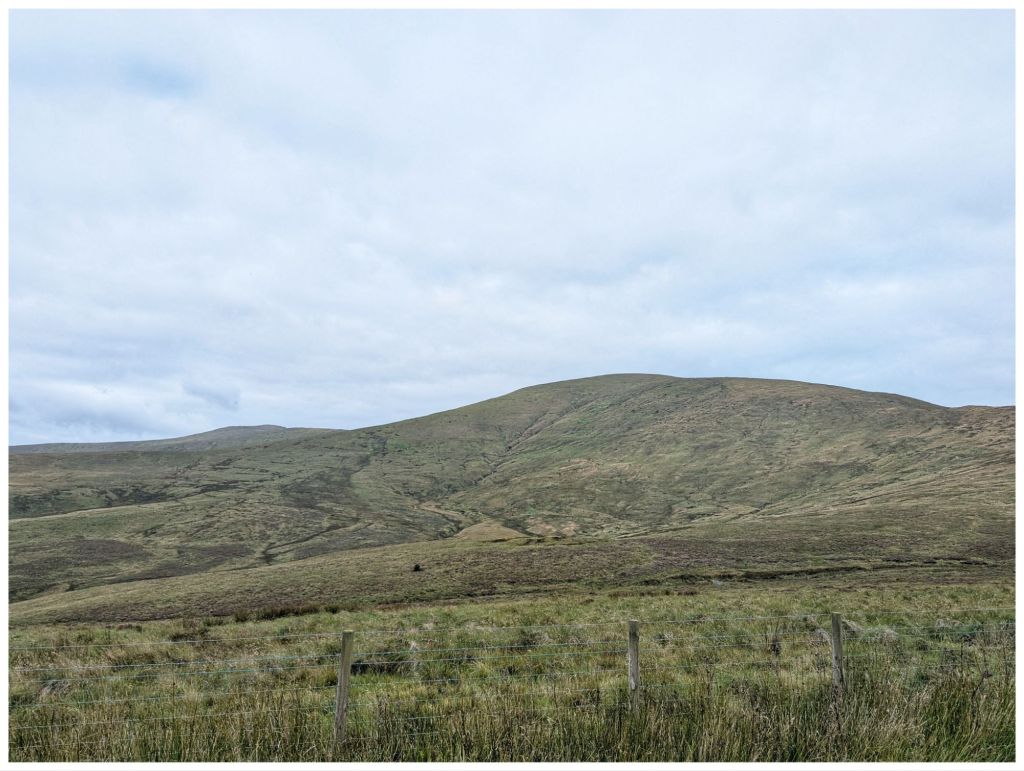
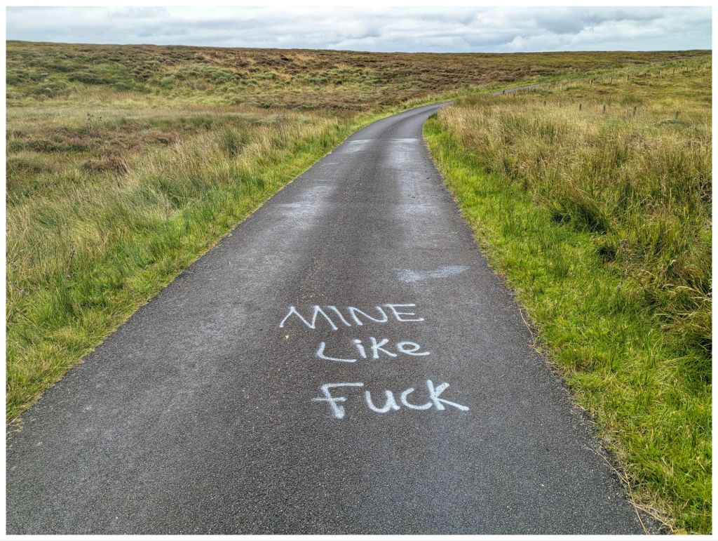
Sawel from the road. Steeper than it looks! I assumed this was a reference to the contentious gold mining that is happening in The Sperrins?
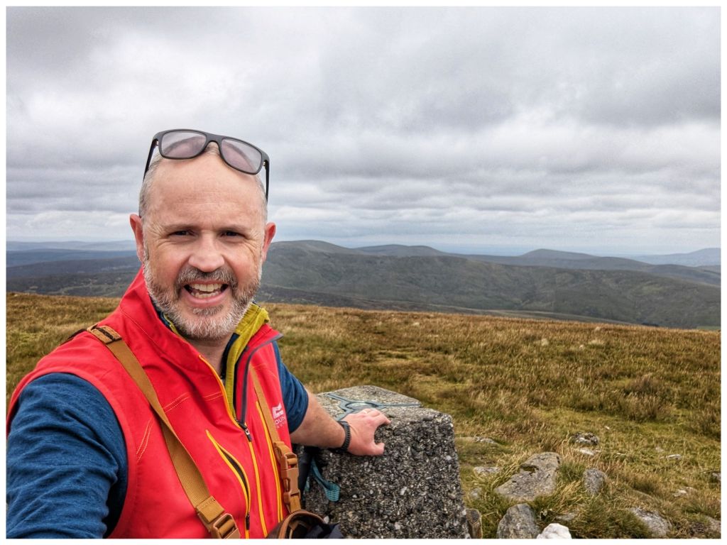
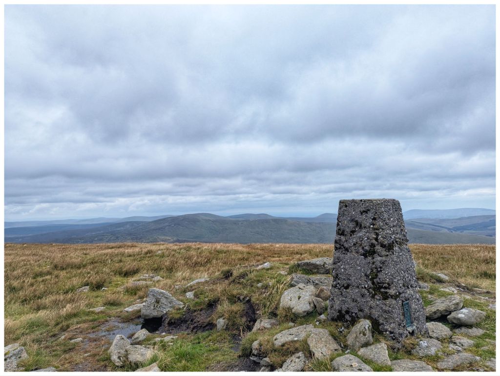
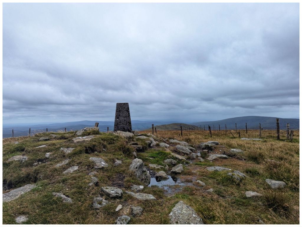
Once you leave the road there’s a pretty steep climb up the first shoulder. It evens out after about 1km for a short stretch and then you gain approximately 250m elevation in the next 2km. The usual false summit and then you are rewarded with a nice trigpoint surrounded by a rocky collar. The views were excellent despite the overcast sky. I think you can see the full Sperrin range from up here and I could even make out a hazy Errigal and Muckish in the distance.
Terrain on the way up was squelchy at times but much better than I expected. There were some dodgy patches but a clear track helped avoid those. This is a well trodden summit with easy access and the lure of the County High Point. One boggy stream required a big jump to cross and also a bit of a leap of faith but I made it without getting wet or embarrassing myself!
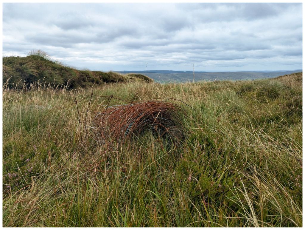
The track follows a fence line all the way right across to the second summit of Dart so navigation is easy. The fence has been upgraded over the years and as is the habit in The Sperrins the old rolls are left on the hillside. I’ve seen this in other locations and find them strangely fascinating as the bog slowly reclaims them.
As I started the climb to Sawel I could see a group about an hour ahead of me on the track. When I got to the summit they were a little way off sheltering out of the wind and having lunch. I went over for a chat. They seemed to be a group that met online or possibly on a guided walk with a local. One of them was a 75 year old lady up from Limerick ticking off her County Highpoints. Only 5 more to go!
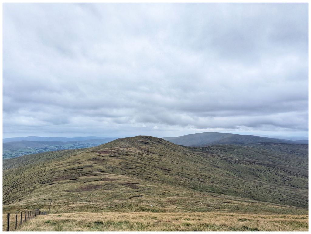
I left the group and headed on over to Dart (An Dairt ‘the lump’). This is more mountainous looking with quite a craggy top from the Sawel side. After a steep descent from Sawel it was a very nice walk across the coll between the two with nice views to the North and South.
Dart from halfway down Sawel
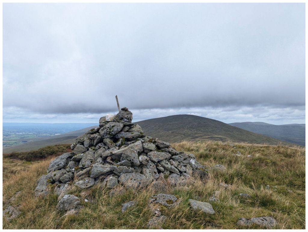
A shorter and not quite as steep a climb brought me to the fairly large summit cairn at 619m.
Sawel from the Dart cairn
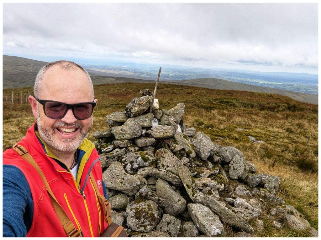
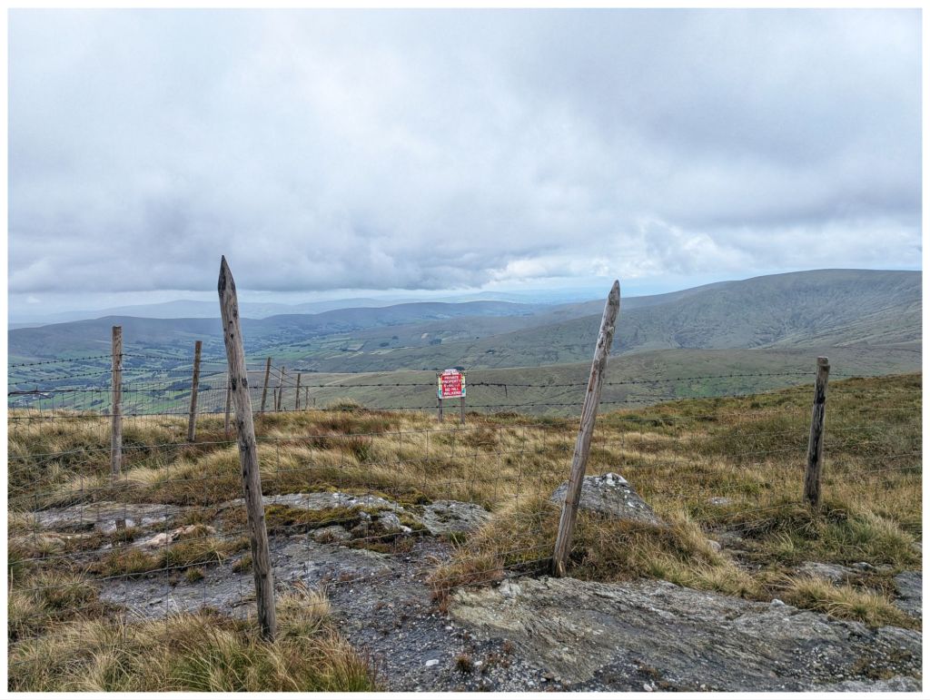
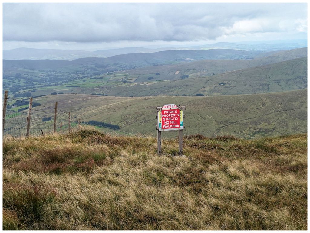
Historically there have been access issues in this area of the Sperrins and unfortunately, 20 years after my previous visit there is still a sign warning walkers away from the adjacent ground and the fence on this section of the hill is much higher and topped with barbed wire 😔
Friendly bunch!
After some photos I retraced my steps partway back across the coll towards Sawel. At a fence junction my route diverged down but first, a handy rocky outcrop provided a good seat and a windbreak from the cool breeze that was blowing through. Time for my lunch.
Crossing the fence I was heading in more of a Southerly direction. This is off the usual track so I was having to pick my own best route across the rough ground overgrown with waist high rushes. I came out of this after a few hundred metres on to more grassy terrain and I veered off East towards the gulley that the hill is named for.
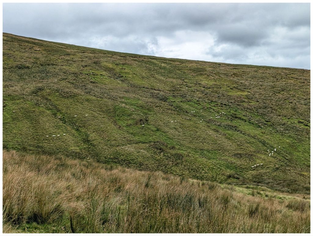
I crossed another fence into a more active grazing area that covers both sides of the gulley. A large flock of sheep was in this area and they definitely didn’t like me coming through. Lots of bleating and they marched off across the hill in lines to stare accusingly at me from the other side.
Sheep on the march
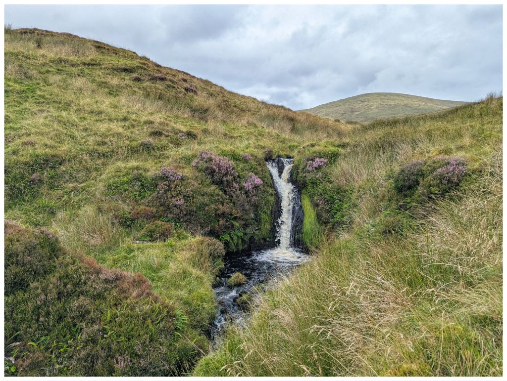
Dropping down into the gulley I was aiming for the waterfalls marked on the map. However, I had low expectations as the stream was fast but less than a metre wide. Multiple small falls gave me the impression that I would be disappointed.
Walking along the stream that eventually becomes Oughtmame Burn was hard work. More waist high rushes, lots of holes, some boggy bits and smaller hidden streams flowing into the burn. Unsurprisingly, the burn once again confirms the male obsession with female body parts…
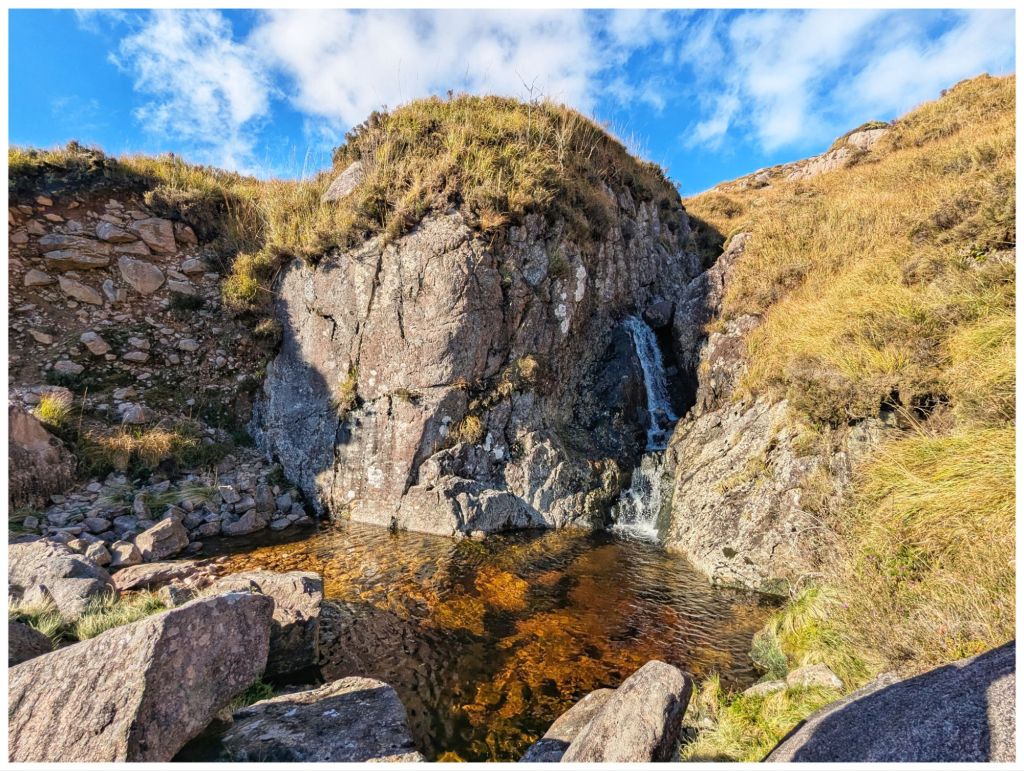
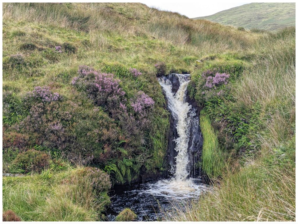
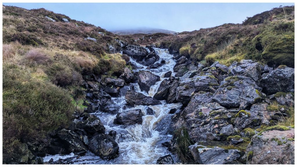
I was seriously doubting the effort was going to be justified when suddenly this appeared:
The photos don’t really do it justice and if you’re into wild swimming I’d say the pool is deep and good to explore. Probably freezing cold too!
Leaving the waterfall was a steep climb up out of the gulley across ground that was a mix of grassy clumps and heather before topping out to an area that seemed to have been burned in the last couple of years.
Navigation from here was easy as I could see the car on the road across the hill. In poor visibility though, this would require a lot of care and a compass bearing as the hillside is pretty featureless and it would be easy to get turned around. Not today though as I was clearly able to see the stream confluence and fenceline that was my next target.
To get there I had to drop down into yet another gulley, cross a low fence and then pick up the fenceline for one last steep climb back to the car.
Walk Stats:
Distance: 10.3km
Elevation Gain: 615m
Total Time: 4hrs
Moving Time: 2.5hrs
This was a walk I’d been looking forward to for a while and one I really enjoyed. It reminded me why I like the Sperrins so much.
I had signed up to do a walk today with the Club but only two of us and the organiser were going so it was cancelled last night. I guess it’s too close to Xmas for most people but it will be run again in 2026.
The weather was looking good and I had myself geared up for the hills so I decided to go myself instead. First time walking solo since January!
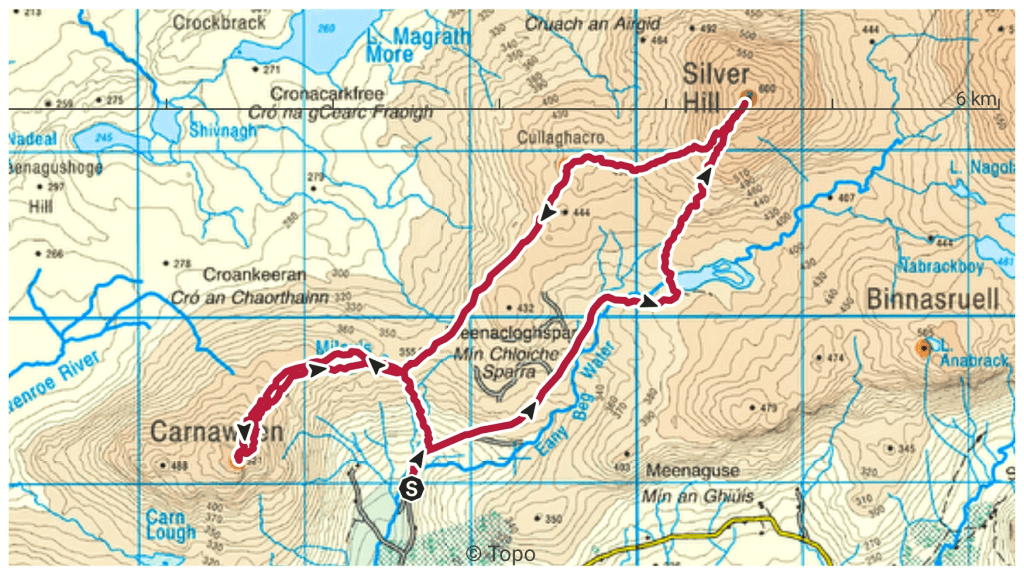
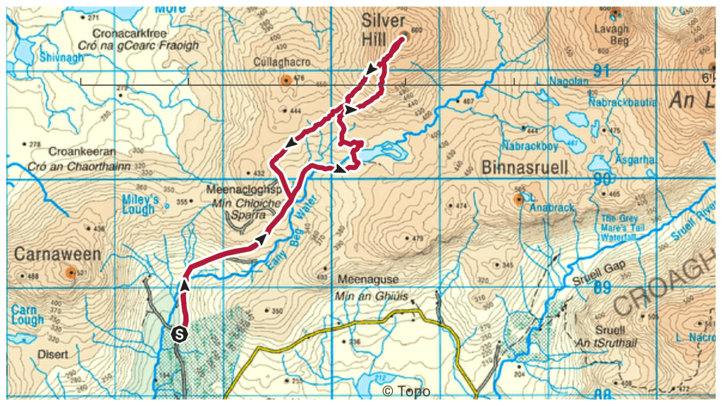
With limited daylight I wanted something relatively easy and not too long so after a trawl through my saved routes I found one that fit the bill in the Bluestack Mountains taking in two summits I haven’t been on before and at 10.5km manageable in about 4 hours.
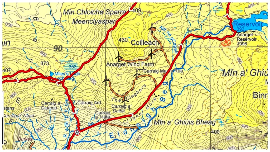
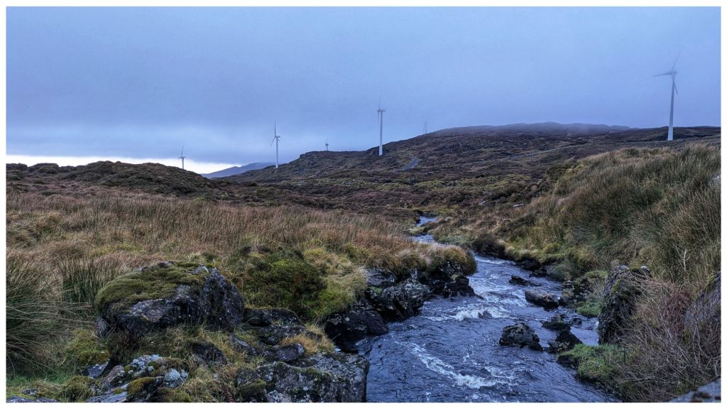
The first section is along access tracks for the windfarm that sits on the lower slopes between Silver Hill and Carnaween. It’s simple walking but steeper than I expected as it rises steeply from 200m along the Eany Beg Water to the Anarget Reservoir at just under 400m in just under 3km.
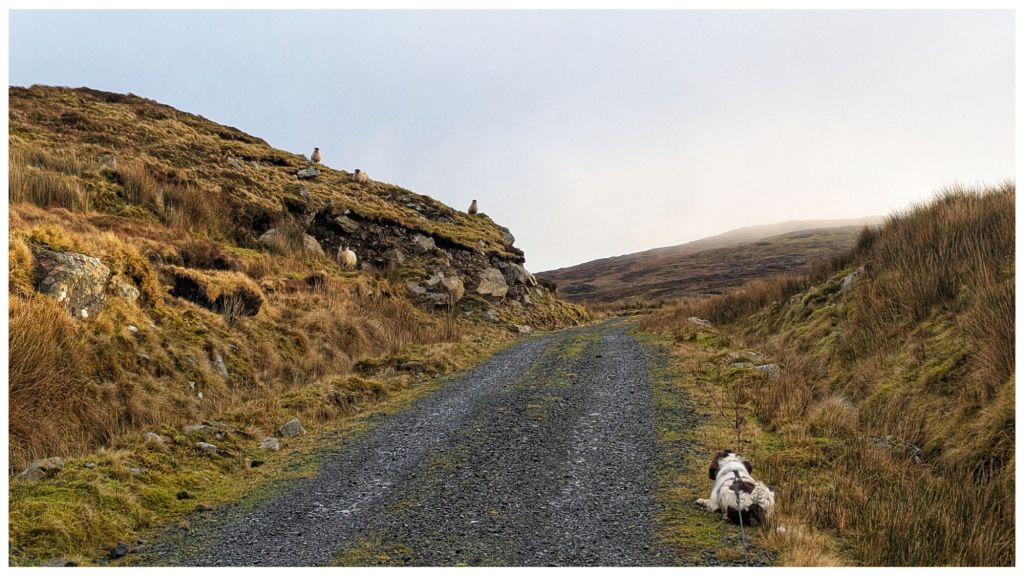
It was on this very first section that I realised I had made a bad assumption about sheep. I figured there wouldn’t be many about the hills this late in the year but I was wrong. Especially wrong here as it looks like the windfarm company have leased the land from a local sheep farmer! Also with the land sitting in a valley it’s very sheltered and a perfect location to over-winter a flock.
Cooper and sheep in a staring contest
This was Cooper’s first experience of sheep “in the wild” and he really struggled to cope. He’s hardwired to chase when something runs so it became a constant challenge to keep him under control. Thankfully I’d decided to bring my 10m long lead that allowed him to explore but also gave me the ability to restrain his exuberance!
The steep track, heavy boots that are better on hill than road and the constant stress of keeping Cooper under control meant I was glad to reach the reservoir and the main hill.
A bit OTT but the track/water interface is quite sudden!
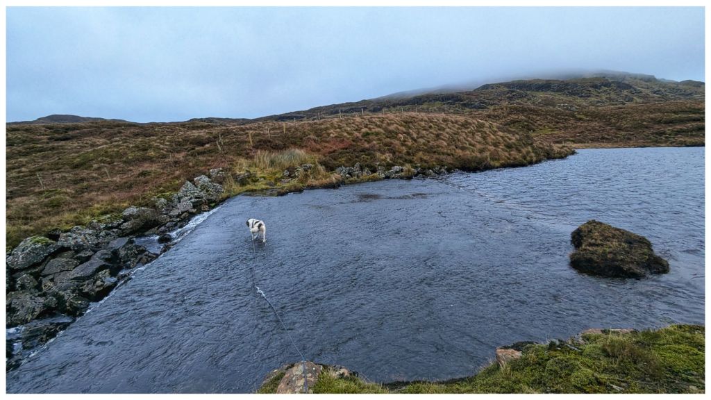
The reservoir appears to be a small lough that has been dammed at one end to create both a larger lough and a controllable stream that has a small hydro plant close to where we started. From the map I wasn’t sure how to cross the outflow end but there’s a large concrete wall that acts like a ford. I’m not sure how deep this gets but it was only a few inches deep today and easily crossed.
Cooper’s talents include the ability to walk on water
Across the lough and it was straight into open hillside. I should know better by now but I had expected better ground than what was in front of me. The Bluestacks are renowned for heavy, wet and boggy terrain but above a certain height it tends to be drier and rockier making for really nice walking. Today I had about 100m to go to get onto the good ground and in between it was some of the most difficult I’ve crossed. A constant mix of peat hags, boggy sections and cut by small steep ravines that knocked my legs for six! I was still hyper alert for wandering sheep so I’d kept Cooper on the long lead and it was a constant challenge to keep it from getting tangled in my legs and from getting caught on rocks and clumps. He had his own ideas about the best way to navigate this terrain and at 10 times the speed I was moving!
Once I made it to the drier ground it was pretty clear that I was going to need more daylight than I expected to get the full route completed. The day was quite dull with patchy low cloud rolling across from about 500m and above. Combined with my slow pace I made the decision to skip Carnaween for today and just focus on Silver Hill and getting home safe.
Looking back at Carnaween hiding in the clouds
The downside of hitting the drier ground is that it’s also steeper! Legs that were tired from the boggy bits were now complaining about the power being demanded to scramble up the rocky slope 🥵
Silver Hill is a really nice mix of rocky outcrops on this side. It was a challenge to pick the best route through but it made for interesting walking and very atmospheric as wispy clouds were blowing in and out.
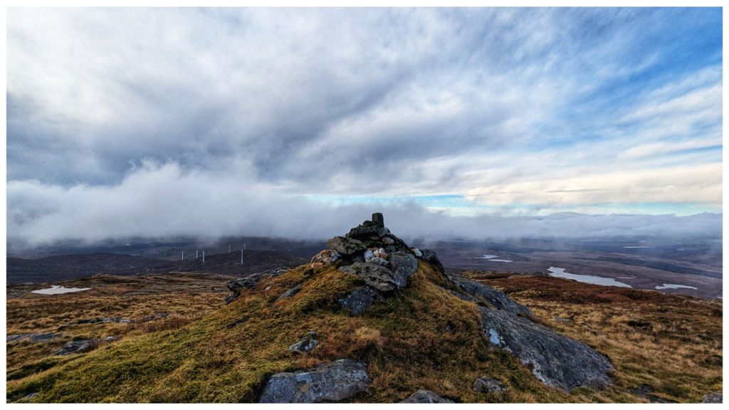
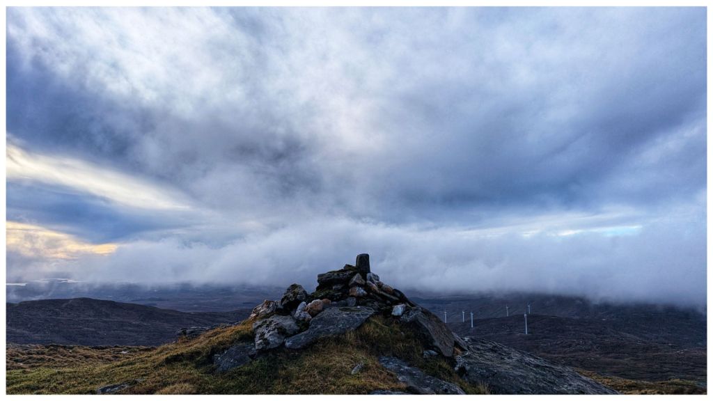
After the inevitable false summit at 550m 🙈 I got sight of the summit with a distinctive rocky cairn built on a small crag. A very regular shaped rock has been inserted into the cairn. Covered in moss, it has obviously been there for many years but gave a strong impression that it was a man made mini trig.
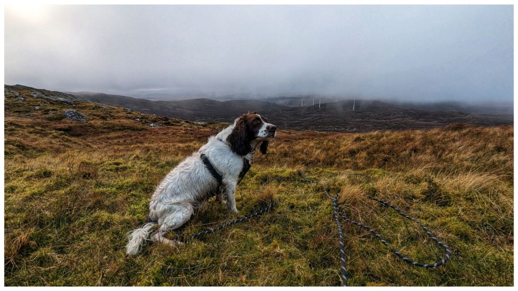
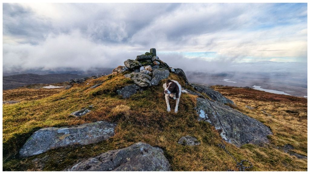
Cooper’s first summit. He wasn’t as impressed as I was! Very picturesque views all around with intermittent cloud cover.
Rather than head back the way I came I decided to drop off the summit staying above the route in and heading for the highest of the windmills. This brought me roughly parallel to the planned route across to Carnaween but at a lower elevation and with an easy finish back along the windfarm tracks.
Despite improving visibility I was happy with my decision to do the shorter walk as I was once again in the same kind of ground I’d experienced just above the reservoir. Descending though was a bit easier than climbing up through it.
Descending the first section off the summit with Cooper was a challenge for the two of us. Still on the long lead Cooper was bombing on ahead in full 4×4 mode. He was happily picking his own route that usually didn’t suit me and once again at 10 times the speed I was moving. I had to keep a close eye on him to make sure he didn’t go over too steep a drop, hit the limit of the lead and jerk me off my feet. Poles were once again, unmanageable due to the lead so I was already feeling less stable than normal and was very wary of taking a tumble on slippery, steep terrain.
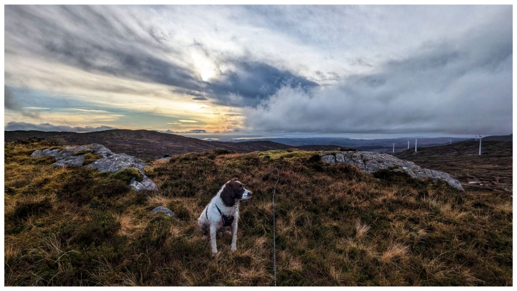
Pausing on the descent to admire the brightening sky
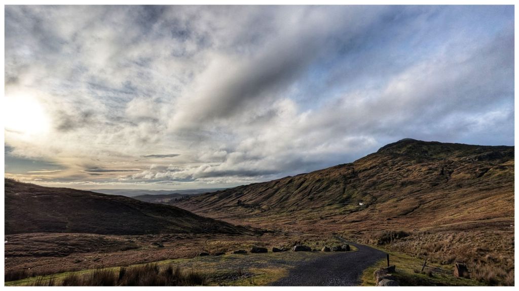
Finally reaching the windfarm again the afternoon decided to brighten up. The clouds had mostly blown away and the sun came out to give me fantastic views of Carnaween and its craggy summit. Despite this I was happy with my shorter walk and I’m looking forward to reaching Carnaween’s summit via a different approach, hopefully in the Spring.
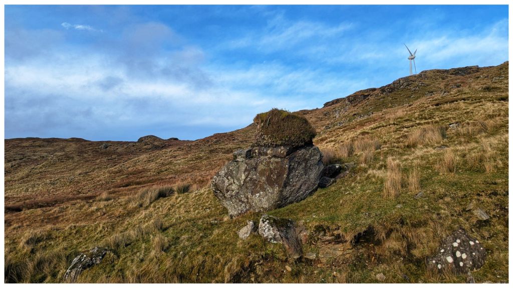
Carnaween in the sunshine Fabulous, clear views down the Eany Beg Valley Glacial erratic with a turf top. How many years did that take to develop!
Running the final sheep gauntlet with a tired and therefore, better behaved Cooper, I was back at the car just under 3hrs after starting. I finally took the chance to have lunch and sat in pleasantly warm sunshine. You wouldn’t think it’s Xmas in 4 days!
⛰️ Silver Hill, Bluestack Mountains, Co. Donegal. 600m which qualifies it as an Arderin and also the smallest of the Vandeleur-Lynams, just sneaking over the line. Also on my Local 100 and 50 Highest in Ulster lists.
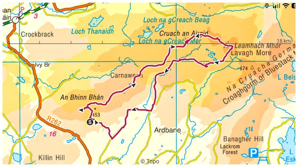
Silver Hill is definitely a summit I’d like to go back and revisit in a different season. Gerry McVeigh has a video of a wild camp on the summit as part of a longer two day hike in May this year. It’s a bit adventurous for me but I think the loop taking in Lavagh Beg and Lavagh More from Silver Hill would be manageable.
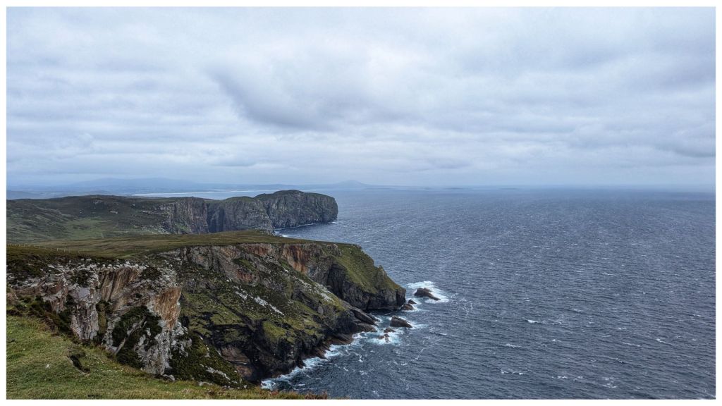
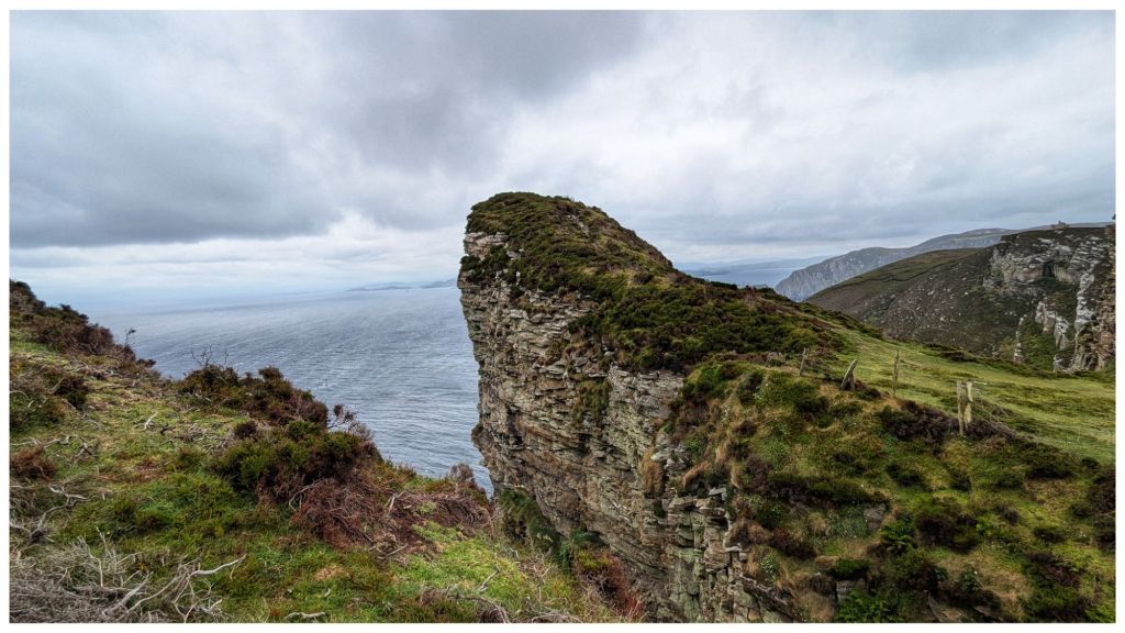
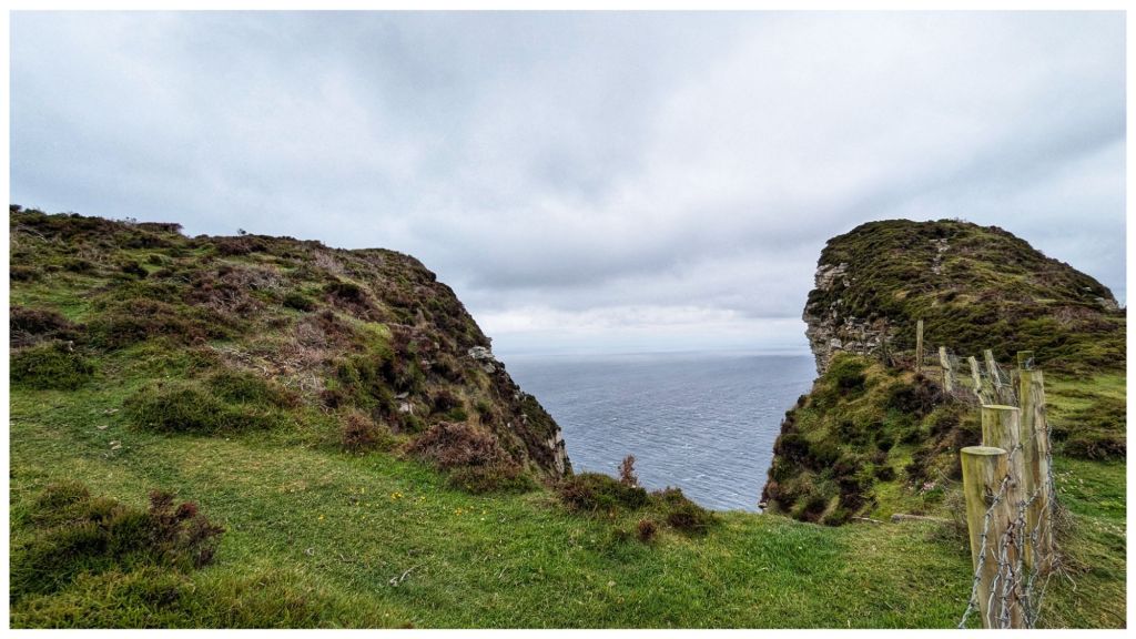
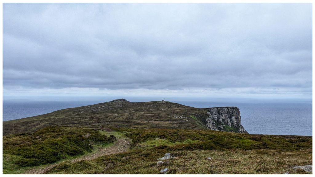
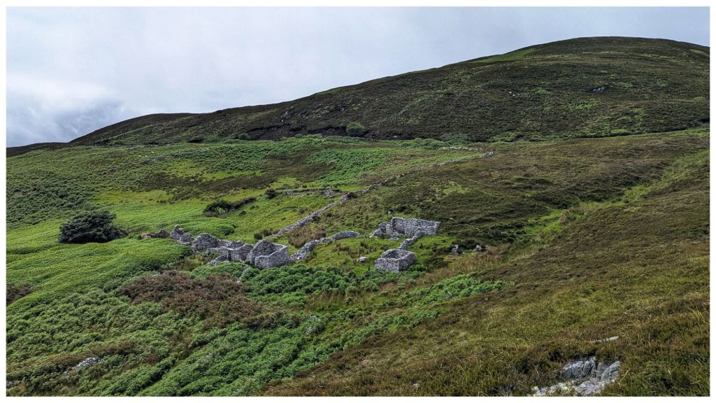
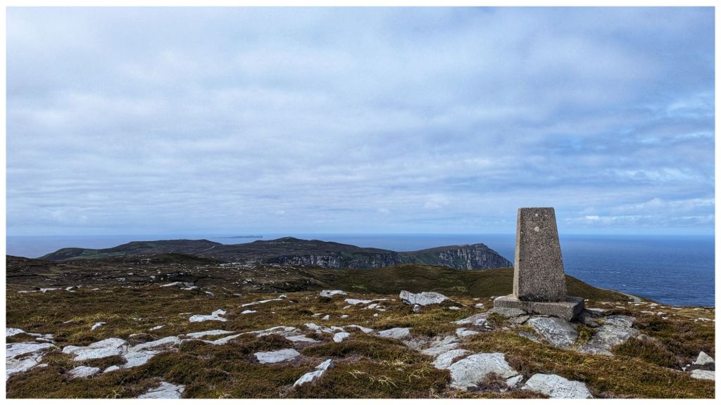
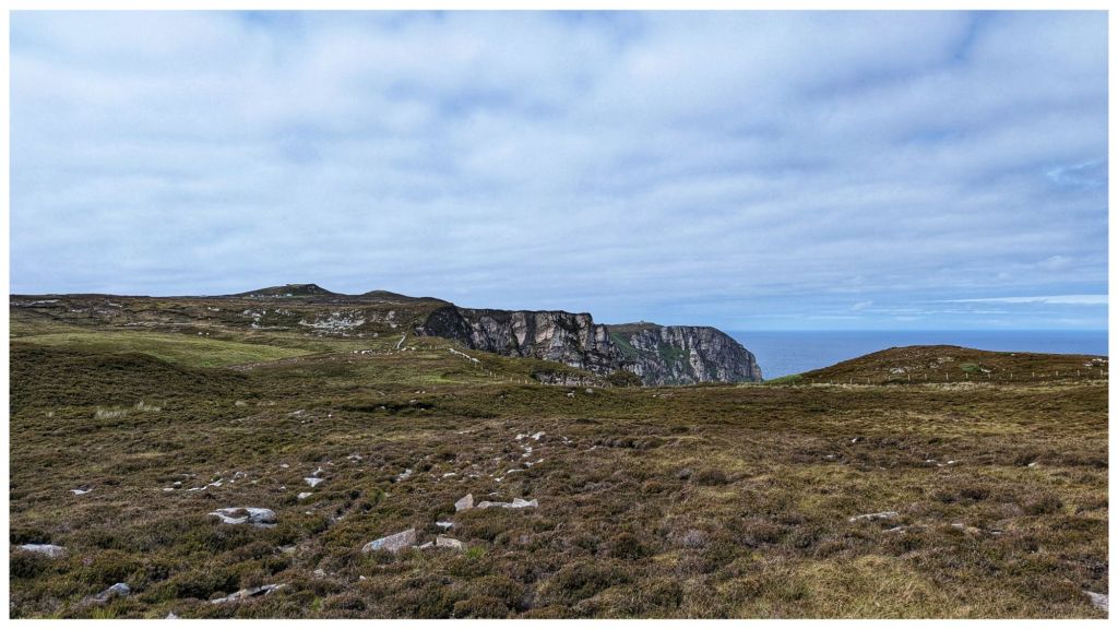
Yet another absolutely stunning walk on Donegal’s North Coast with the Bluestack Ramblers. This time on Horn Head with amazing cliff views seen from multiple angles and a trip out to the tip of the horns before heading inland to the “helicopter landing pad” (Duncap Isle) and a stiff climb back up to the highest point of Croaghnamaddy (252m) ⛰️👣
9.5km and an accumulated elevation of 734m with all the ups and downs typical of a coastal walk
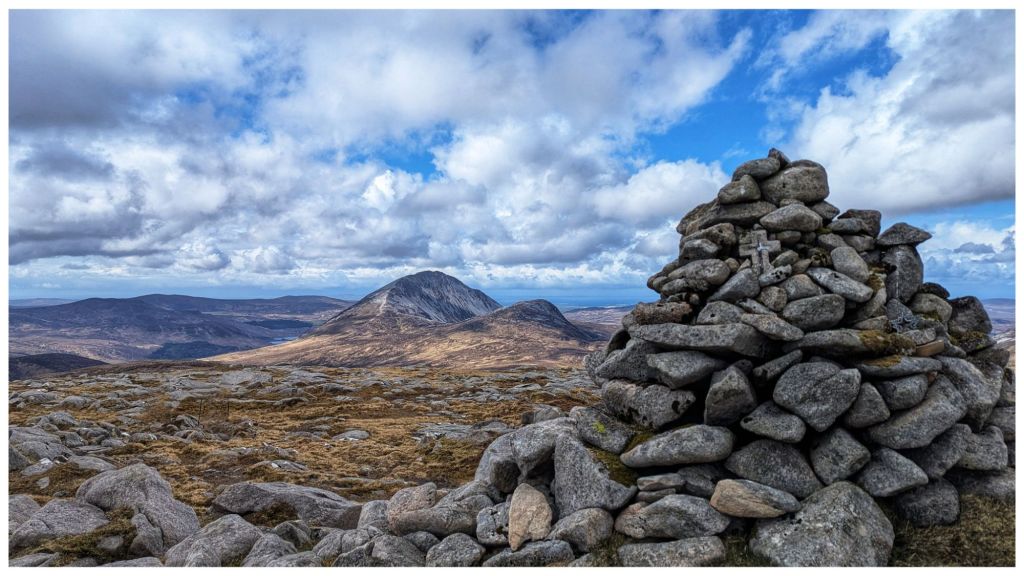
What a day! A hard earned 11km climbing Dooish (651m) via Maumlack (480m) and returning via Dooish SW Top/Edenadooish (528m). We had every weather today with heavy rain showers and hail that turned to snow leaving Maumlack. Lots of sunshine between the occasional shower before more heavy rain and hail to finish.
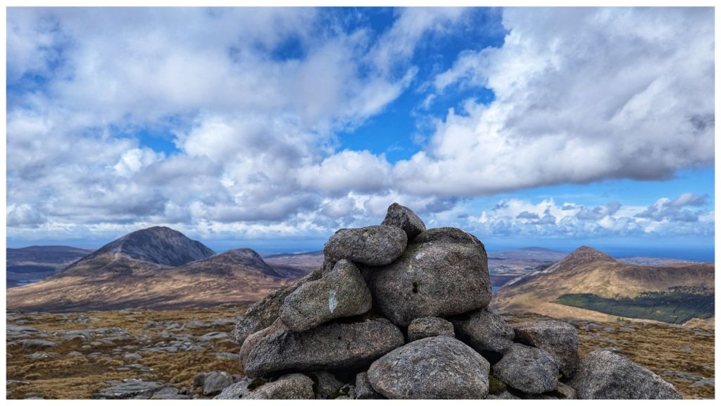
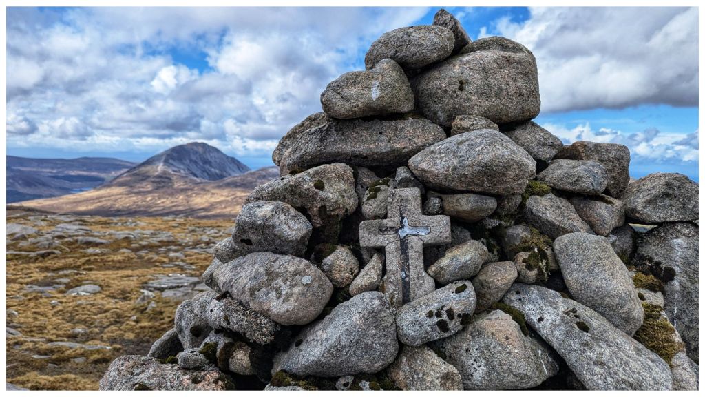
Heavy snow leaving MaumlackLooking ahead to snow capped Dooish Errigal and Mackoght from Dooish Summit Errigal and Mackoght on the left, Aghla More on the right. From Dooish Summit. A cross in the Dooish Summit Cairn
Dooish is an Arderin and Dooish SW Top is an Arderin Beg. I’ve climbed both before but not from this side and Maumlack was a new summit for me.
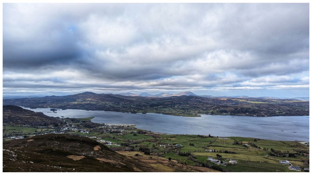
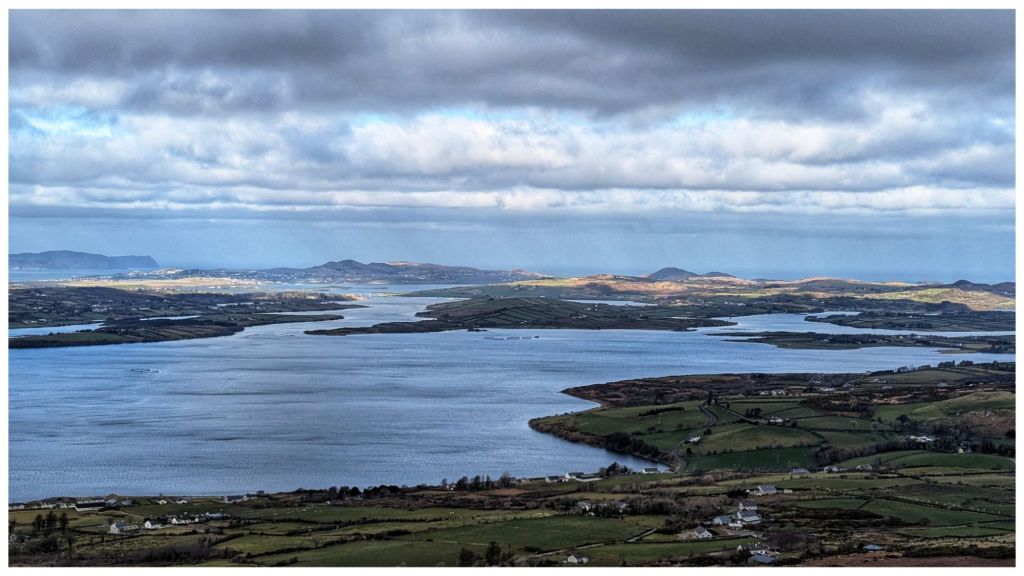
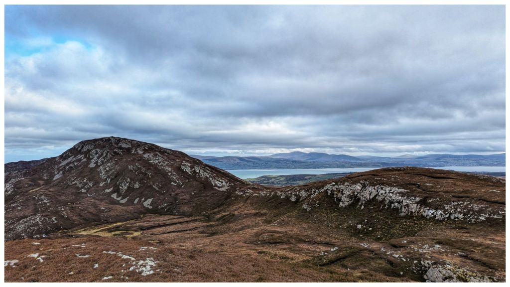
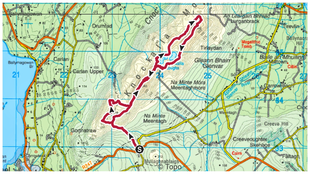
Brilliant walk up on the Knockalla ridge in North Donegal. Brilliant day and one of the most enjoyable hillwalks I’ve had for a while. Great views in all directions out over Mulroy Bay, Lough Swilly and along the coast to Horn Head, Fanad and even North East to Malin Head.
A place I’ll definitely be returning to and having identified a couple of possible camping spots I might even get up here with a tent.
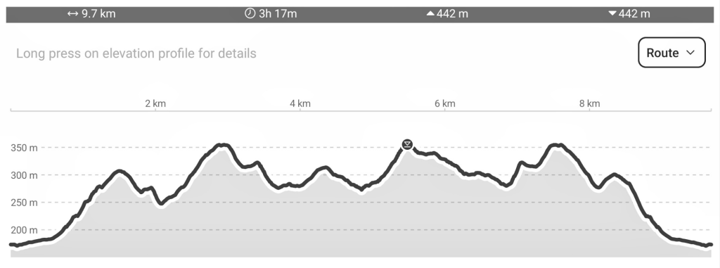
I forgot to start my watch until I was almost 2hrs in so I’ve no real idea of the distance.
Edited 03.03.25 22:45
One of the other group members was tracking the walk and shared his gpx file with me. Turned out to be 9.7km with lots of up and down 🙂
A trip to visit the two summits on Slieve Gallion in September. A repeat of a walk from 15 years ago but this time visiting both tops.
Starting from the car park at Inishcarn Forest I followed the track through the deciduous woods, back into the conifers and eventually out on to the open mountain. Two tops with a trig pillar on the main Slieve Gallion summit before following tracks and lanes back to the car park.
Back in August I went for a hike under and over Binevenagh, the most Northerly summit of the Sperrin Mountains. I managed to lose my way in the trees, follow a track that didn’t go where I expected, logged a geocache and tapped a trig. It was a mixed up day that I mostly enjoyed and the video is now live on YouTube 👣⛰️🎥