Monday is the Halloween/October Bank Holiday and in a supreme feat of optimism I also booked tomorrow off to have one last long weekend and hopefully get a load of cycling and hillwalking done. Unfortunately, the weather is determined to slap down those plans in dramatic style.
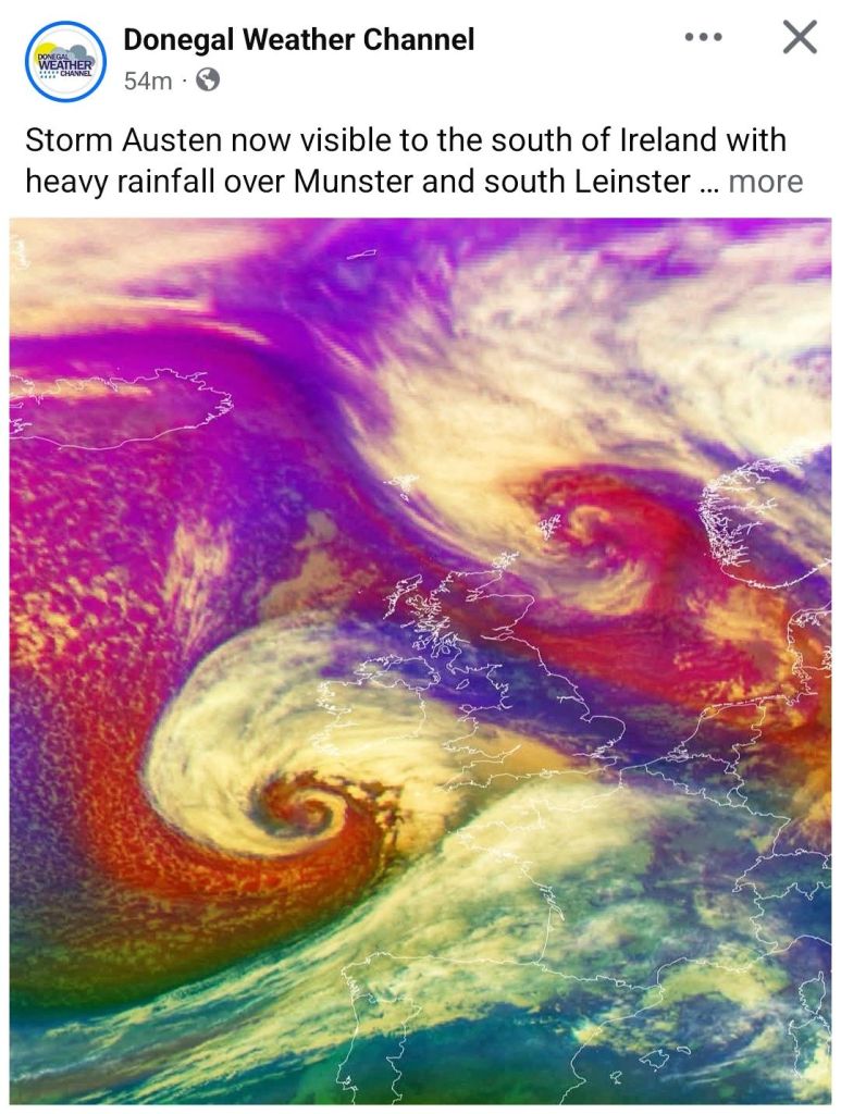
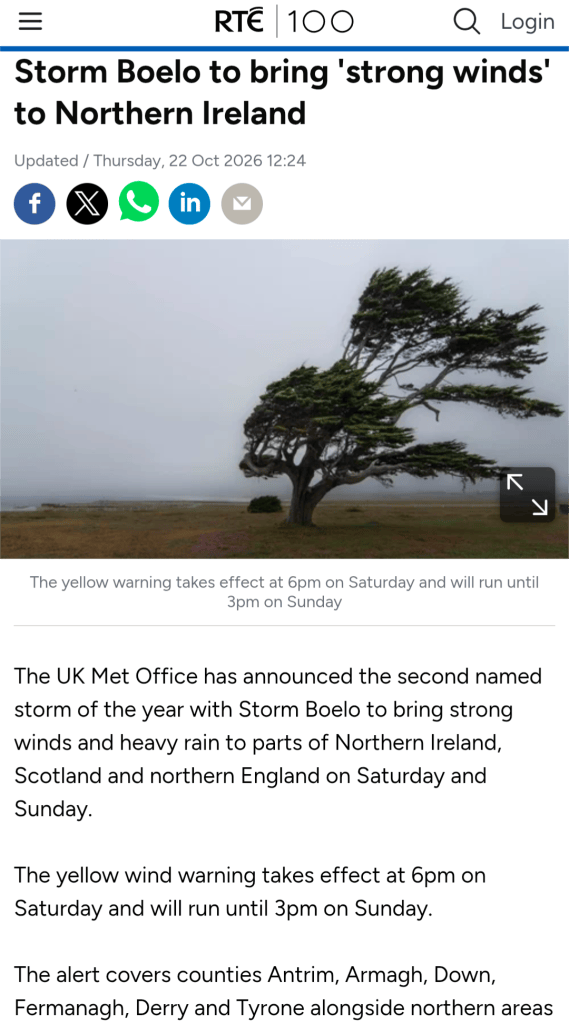
Storm Austen is coming through tonight, thankfully mostly missing us here in Donegal, but his pal Storm Beolo is following right behind and scheduled to hit the North West with a bang on Saturday into Sunday.
Made me think of this
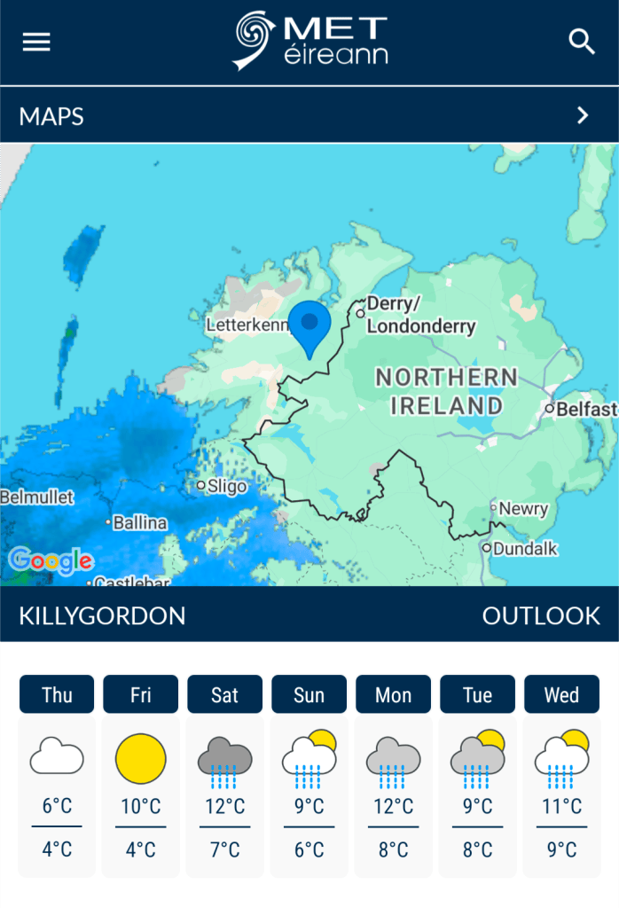
Just to rub it in, tomorrow looks to be the best day of the weekend but I have the car booked in for a service. Hopefully, I’ll manage at least a walk in the local woods in sunshine.
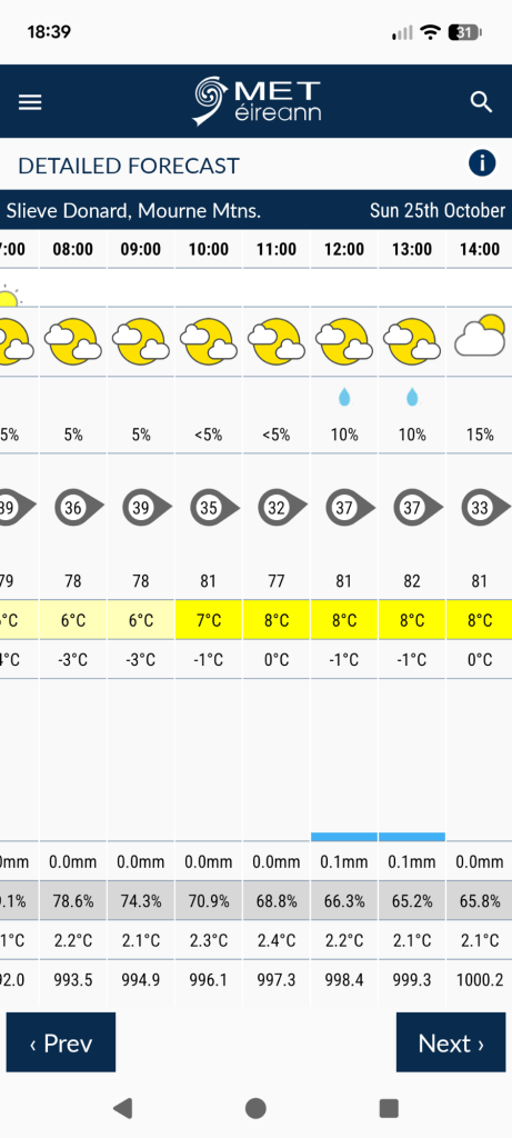
There is a slim chance that Sunday will be decent if I head East. I’ll look at it again tomorrow and Saturday but I’m making provisional plans for a walk in The Mournes on Sunday. So far, it looks like it will be cold and windy but mostly dry…
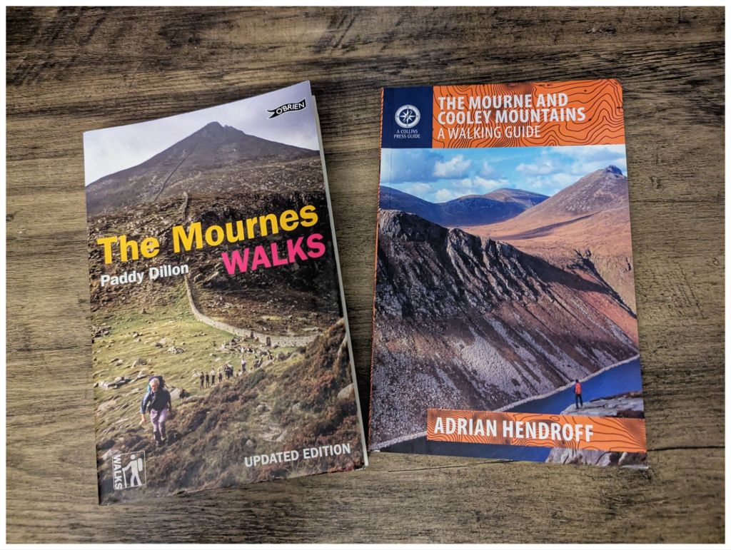
Paddy v Adrian. So far, Adrian is winning
Last Weekend
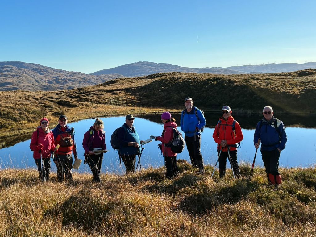
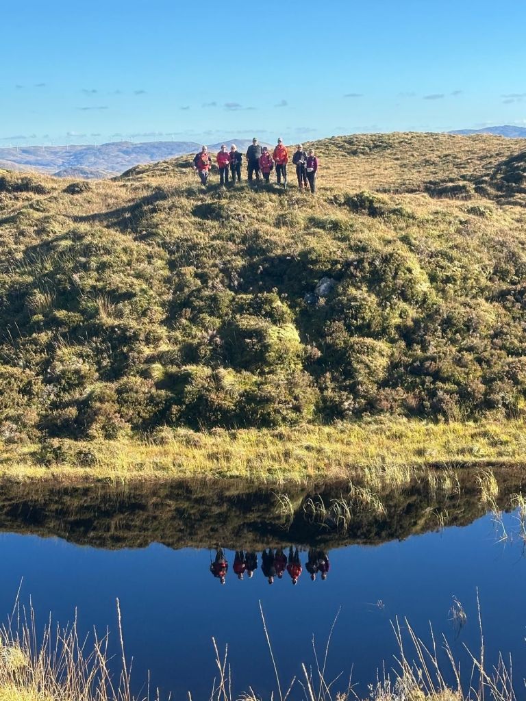
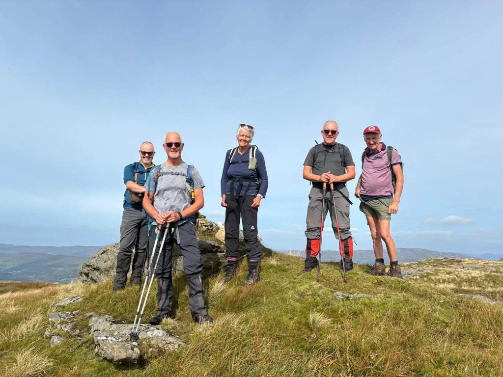
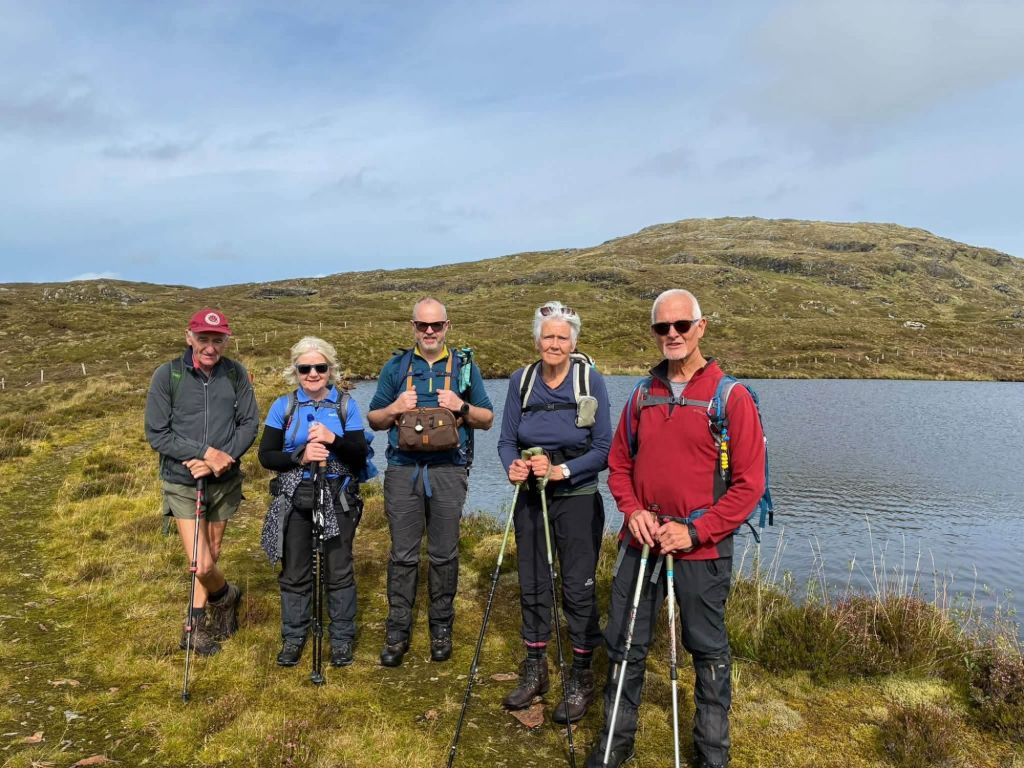
In stark contrast to a weekend full of yellow and orange warnings, last weekend was fantastically good. I attended another leader’s training session with the Bluestack Ramblers. This one was sponsored by Mountaineering Ireland so it was led by Paul Kellagher from Accessible Adventures Ireland.
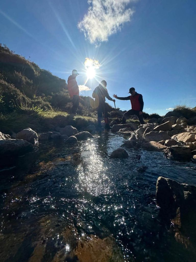
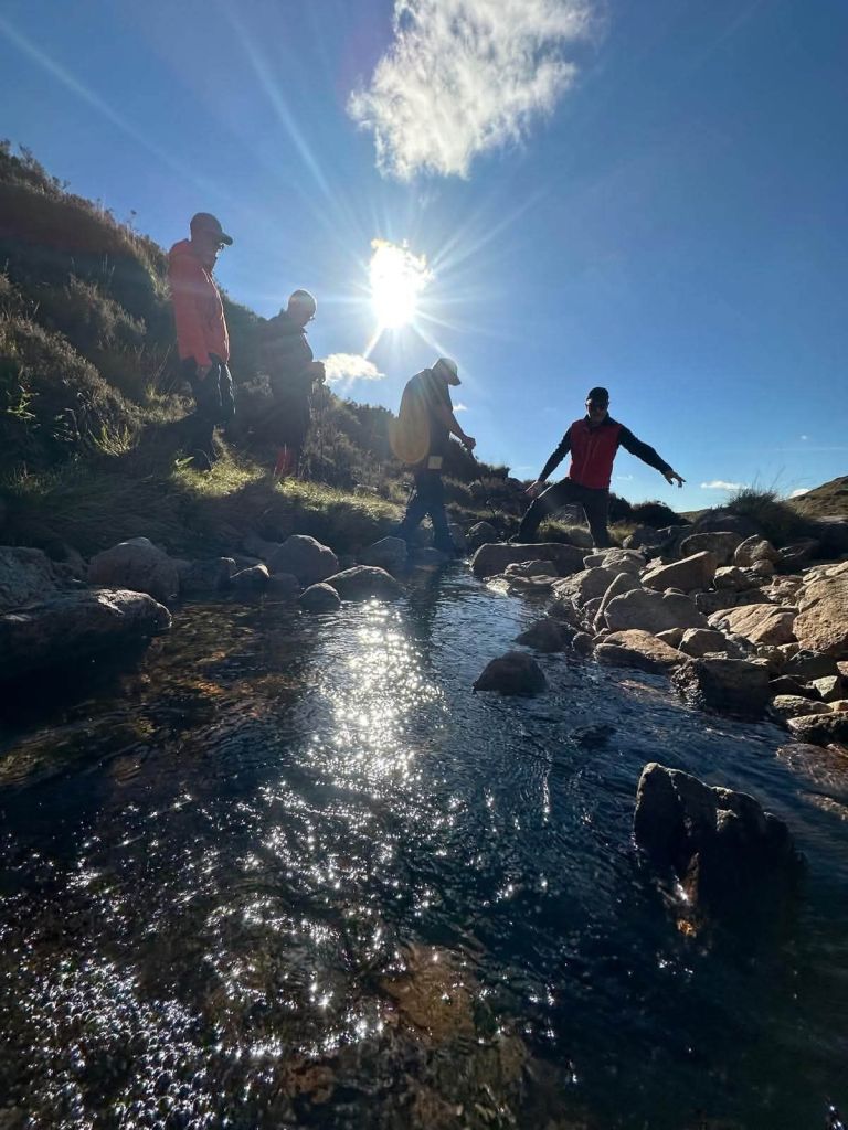
The focus was group management and covered various topics including river crossings and working on steep ground.
If we sent in a written request for the weather then it wouldn’t have been much better. One of those absolutely perfect Autumn days: clear blue skies and barely a breath of wind so lovely and warm in the sunny spells with no windchill 👌
It was a really enjoyable session and gave me a very different perspective on hillwalking, especially as a leader.
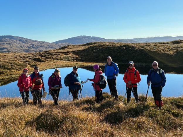
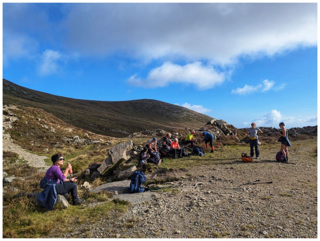
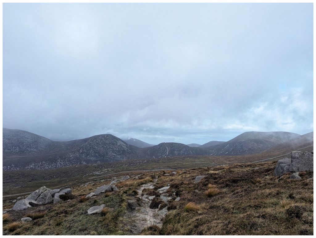
Check out Paul’s Facebook Post for loads of great photos but I particularly like these few:
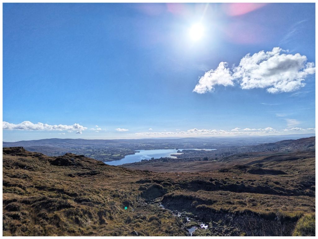
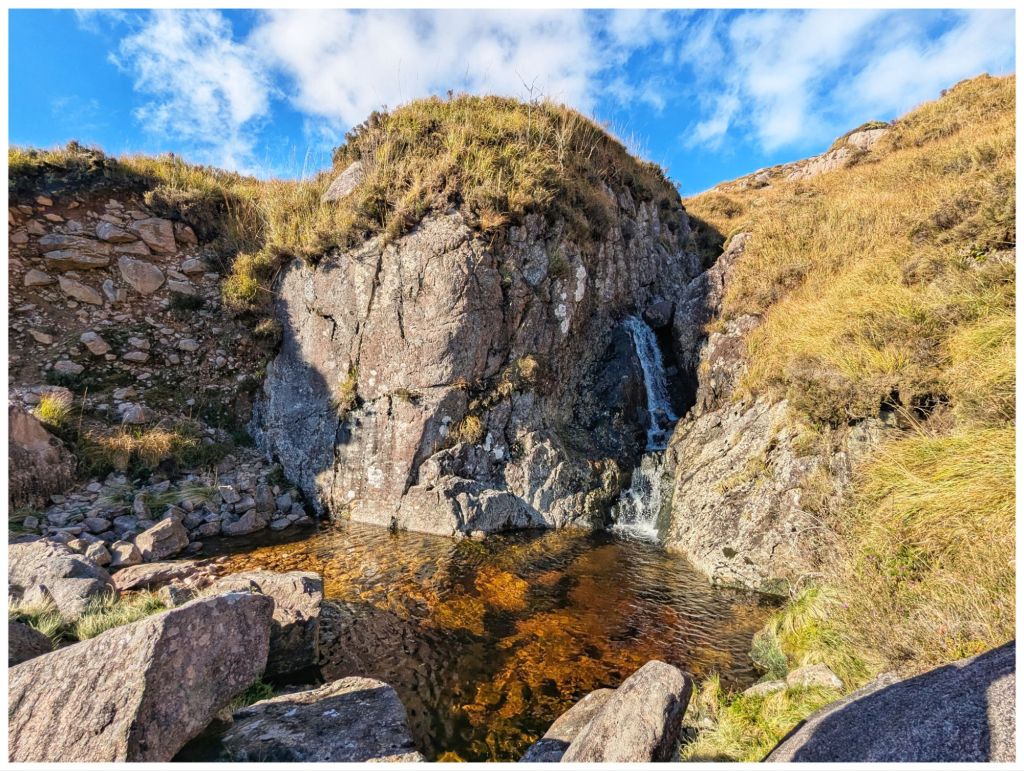
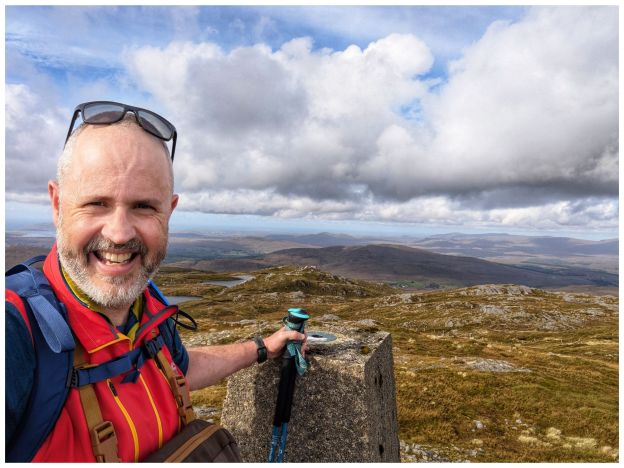
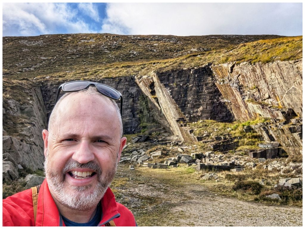
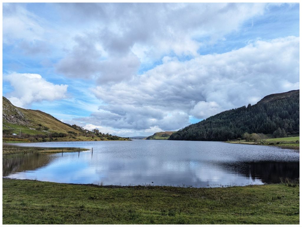
I only managed to take two myself:
Hopefully I’ll get some more great photos on Sunday ☀️🤞
It’s been a difficult few weeks at work. Lots of rumour, worry and it turns out a lot more stress than I realised. Everything came to a head this week and I finally knew that everything thing was going to be OK and that my job was safe. Once this sank in fully I really could feel a weight off me both physically and mentally. On Friday evening I realised just how much stress I’d been carrying and the release of that left me feeling almost giddy!
Mourne Mountains
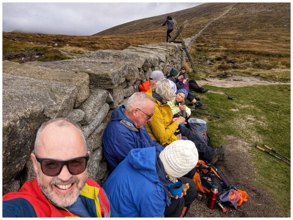
Despite, or maybe because of the stress I was out walking with the Bluestack Ramblers last weekend. It was a Club weekend away to the Mourne Mountains. I wasn’t able to make the whole weekend but I was able to make one day. With encouragement from one of the organisers I headed across on the Saturday morning. That day suited me best, it was the most interesting of the walks and the weather looked decent. Thankfully I did pick Saturday, as Sunday turned into a complete washout and that day’s walk was abandoned.
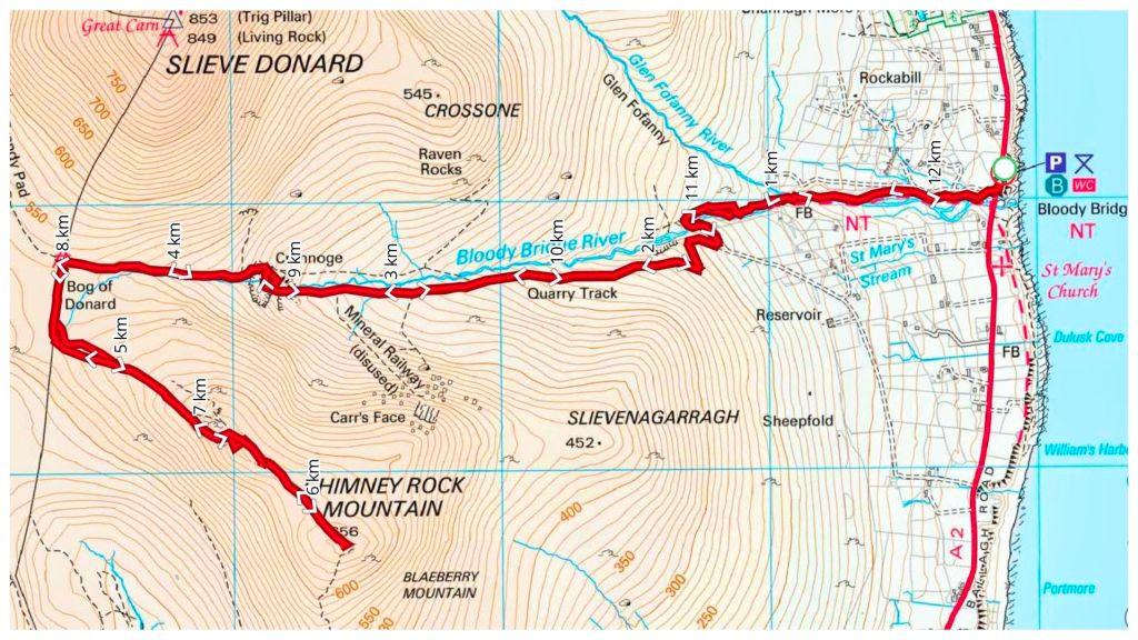
A 5am alarm saw me on the road for 6am and pulling into the Bloody Bridge car park shortly after 8:30am. On the way I realised that I was just 15min from one of my regular shop calls and that a trip to the Mournes should be a much more regular excursion for me. I’d always felt that it was a much bigger journey and one that needed an overnight stay. I was in bed early on Friday night and had a solid 7 hours sleep. If I’d camped or slept in a hostel I probably wouldn’t have got anything close to that. Expect more Mournes trip reports here from now on!
We weren’t meeting until 9am so I had loads of time for a second breakfast and to get ready. All I knew was that the walk was to Chimney Rock Mountain. It turned out to be a very enjoyable there-and-back walk up from Bloody Bridge to the Mourne Wall before heading up to the Chimney Rock summit at 656m.
The walk up follows a rugged but distinct path along The Bloody Bridge River. Crossing the river at a very picturesque ford we picked up a wide gravel path that leads to an abandoned quarry where we had a short break before continuing on to the Mourne Wall along a rougher track once again.
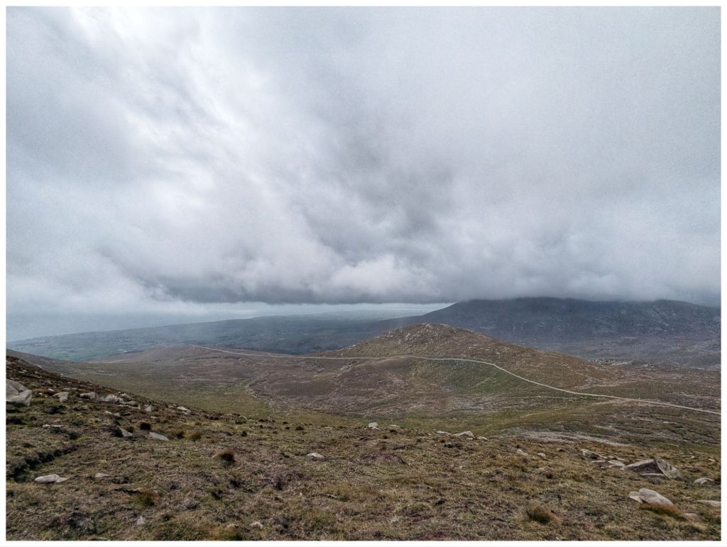
From the car park and all the way up we had lovely sunny and warm weather with barely a breath of wind until just below the crest close to the Wall. The weather was on the change though.
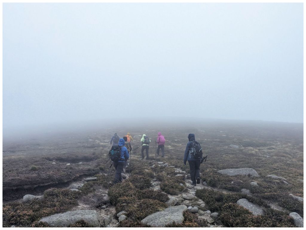
Leaving the Wall a layer was quickly added as the thickening cloud came in and dropped, threatening rain and bringing with it a significant breeze. The views were quickly disappearing and we were soon in the cloud from approximately 580m. As the cloud thickened further the wind picked up and with spots of rain and a significant windchill waterproofs, gloves and hats soon appeared.
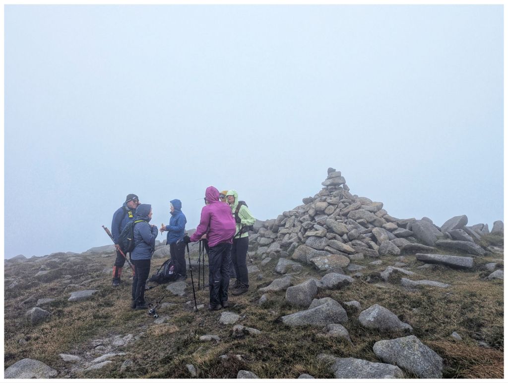
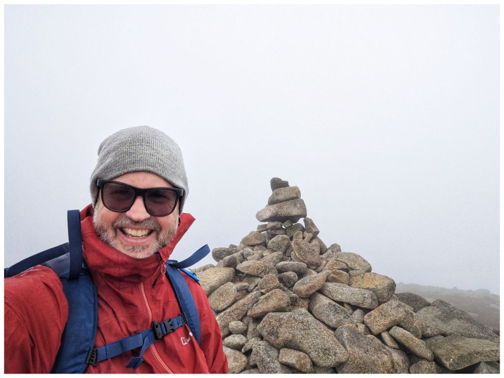
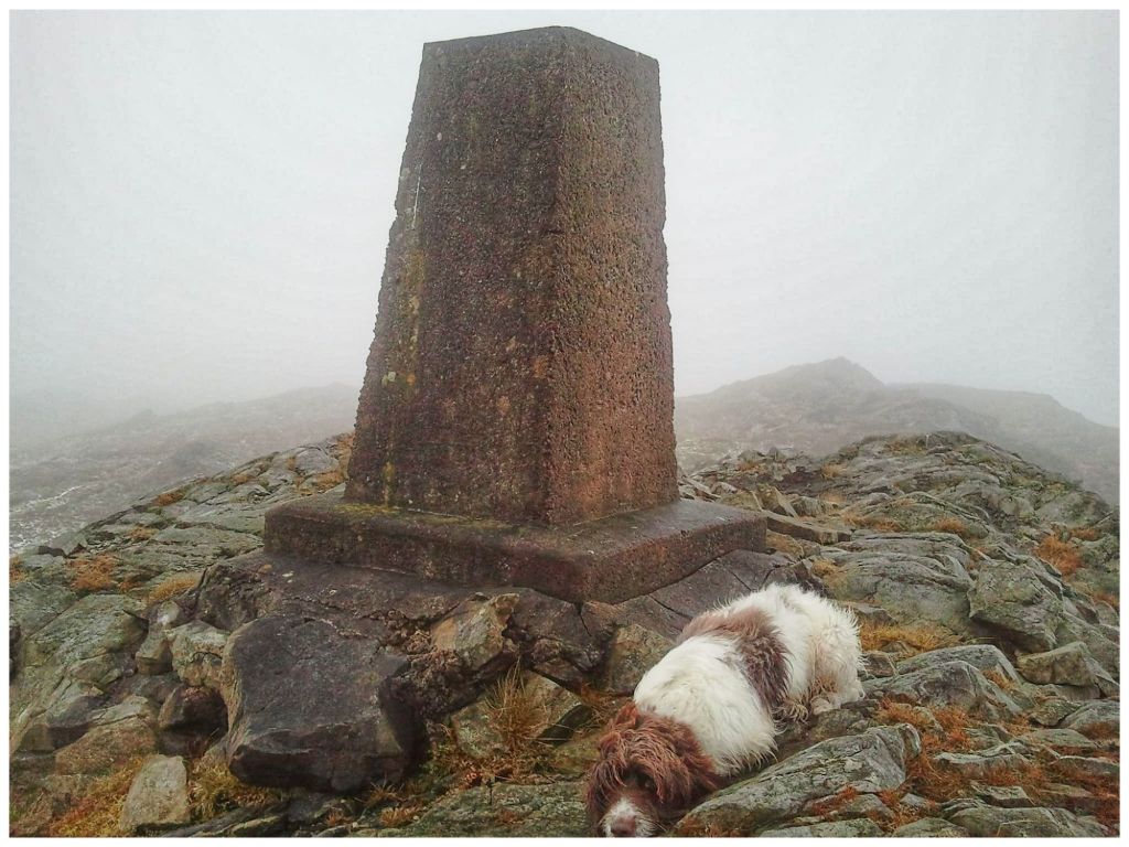
Chimney Rock has an impressive summit cairn but no views for us today as the weather had closed in completely.
With a strong, cold wind we didn’t hang around long and were soon retracing our steps through the limited visibility. Conditions had worsened a lot but we dropped out of the cloud just above the Wall again. The Wall itself provided a perfect wind break for lunch as the clouds gradually lifted.
Fed and watered we headed back down to the quarry and followed the river back to the car park with the clouds continuing to clear and finishing once again in the sun.
A hugely enjoyable day out in good company in very different terrain than what I’m used to. Getting home just before 6pm only reinforced how accessible the Mournes are.
⛰️ Chimney Rock Mountain 656m 👣 12.25km ⛰️ 729m elevation gain ⏱️ 6hrs 1min total time ⏱️ 3hrs 47min moving time
Back In Donegal
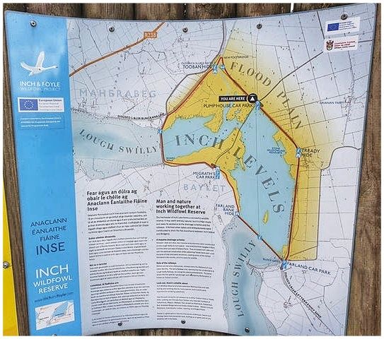
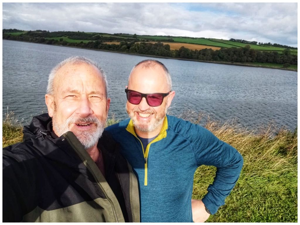
This weekend past I was closer to home. My best friend Jim was over from Scotland for a family wedding in Derry and we managed to carve out a couple of hours to meet up on Saturday morning. We headed for Inch Wildfowl Reserve and the loop walk there that explores both the coast and the island using the two artificial causeways.
It’s a great location. Lovely flat paths, well signposted with a good surface, toilets and a couple of hides. Also, lots of birds but neither of us are really ornithologists* and we are were too busy chatting and catching up after a long time not having met in person. Almost 8km in just over an hour and a half but it flew by.
*We did have one bird argument. I think I win and that it was a grebe but that may have been a win for confidence over truth 🫣🤣
Leaving Jim I headed straight for Fintown. I’m leading a walk up Aghla Mountain on November 1st. Considering the last time I was up there was November 2012 I figured I’d be better off doing a recce first!
Rosie was with me in 2012 💔
The car park is at the Glenties end of Lough Finn and driving out of Fintown Aghla rises impressively on the left, above the lake. When you get out of the car it’s looming directly above and feels more like a wall than a mountain!
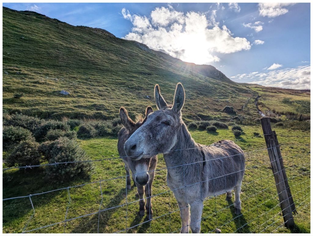
A short road walk along the Lough brings you to a gate beside a small house that marks the entry point to the hill. If you’re lucky you might make some new friends here…
They followed me for a bit until I crossed a gully
Hitting the hill after the gully and it’s straight into UP! The first section contours across the hill so it’s not quite as tough on the legs and lungs but soon after crossing a fence it’s straight up and even steeper. It’s not quite scrambling but not far off and I made good use of the poles to make sure of every step. I didn’t fancy sliding backwards on that slope!
The views come quick and fast on steep ground
Climbing up to and around the side of a rocky crag, towering above me, I finally made it to a flatter area to catch my breath. 2km in 1 hour including the walk in along the road!
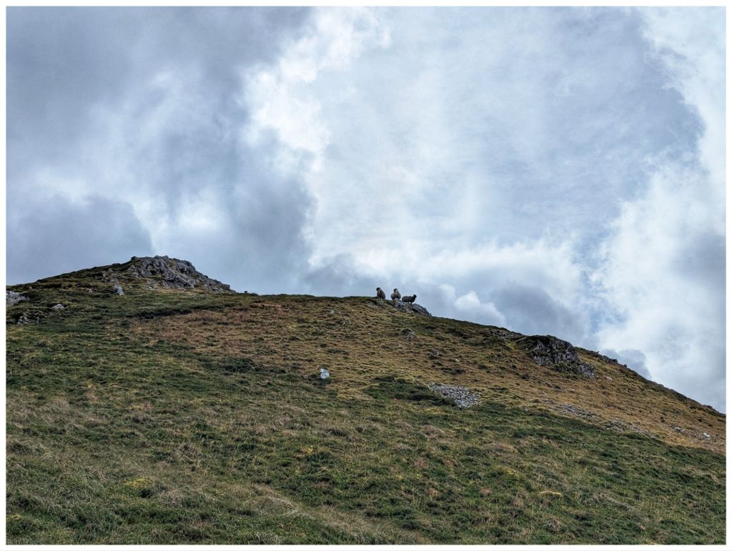
More locals keeping a close eye, not as friendly this time
Having caught my breath and settled my legs that were in shock after the easy 8km in the morning it was back to Up again. More steep, rocky and really enjoyable ground and I eventually reached a small rocky crag at 545m overlooking a pair of unnamed lakes just below. Another cracker spot to have a short break and a quick snack to make the final push to the summit. From the crag I could see the trigpoint on the rocky top.
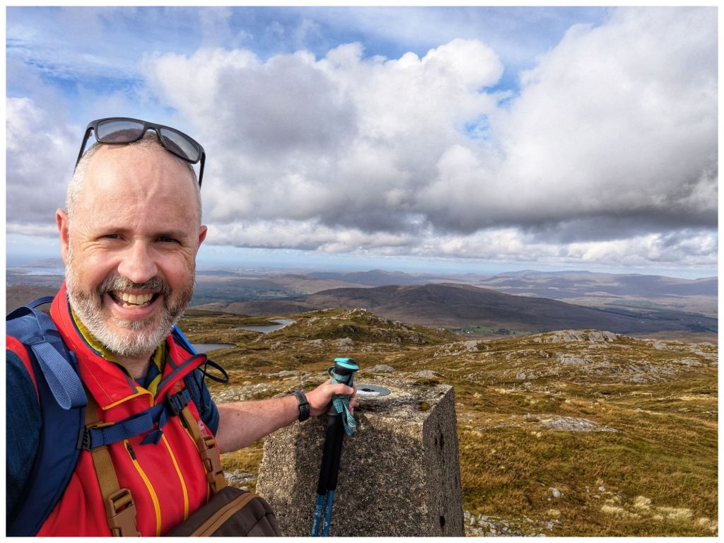
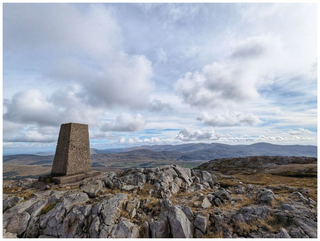
Dropping off the crag I briefly descended approximately 20m into a shallow, squelchy gulley before hitting more rocky ground and heading for the summit. Navigating through rocky outcrops I almost stumbled upon the trigpoint at 593m getting there quicker and easier than I had expected. 1hr 45min for just under 3.5km but not bad considering how slow the first, steep ascent was.
There’s a second summit (Aghla South Top) at 589m. My original plan was to head over there before returning to the summit and descending. However, my legs were tired from the morning and I was much later in the day than normal so decided to save the extra 1km and keep it for the Club walk instead.
There was a significant breeze on the summit with a cold edge but the rocky top provided a nice windbreak that allowed me to sit in the sun in comfort and enjoy my lunch.
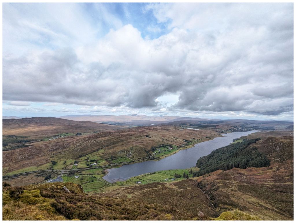
The view from the summit is fantastic. It’s a true 360 and with high cloud and bright sunshine I was able to enjoy it to the full. One of the best Donegal mountain views in my opinion.
The descent was very enjoyable. A nice rocky section along the top before dropping down but nothing as steep as the climb up. The ground was squelchy but not boggy and was easy enough walking. It also gave me a chance to practice some of my recent navigation training matching the map to the ground and taking some bearings.
With cliffs towering above and a small stream accompanying me the first descent was very enjoyable, reminding me a bit of Binevenagh.
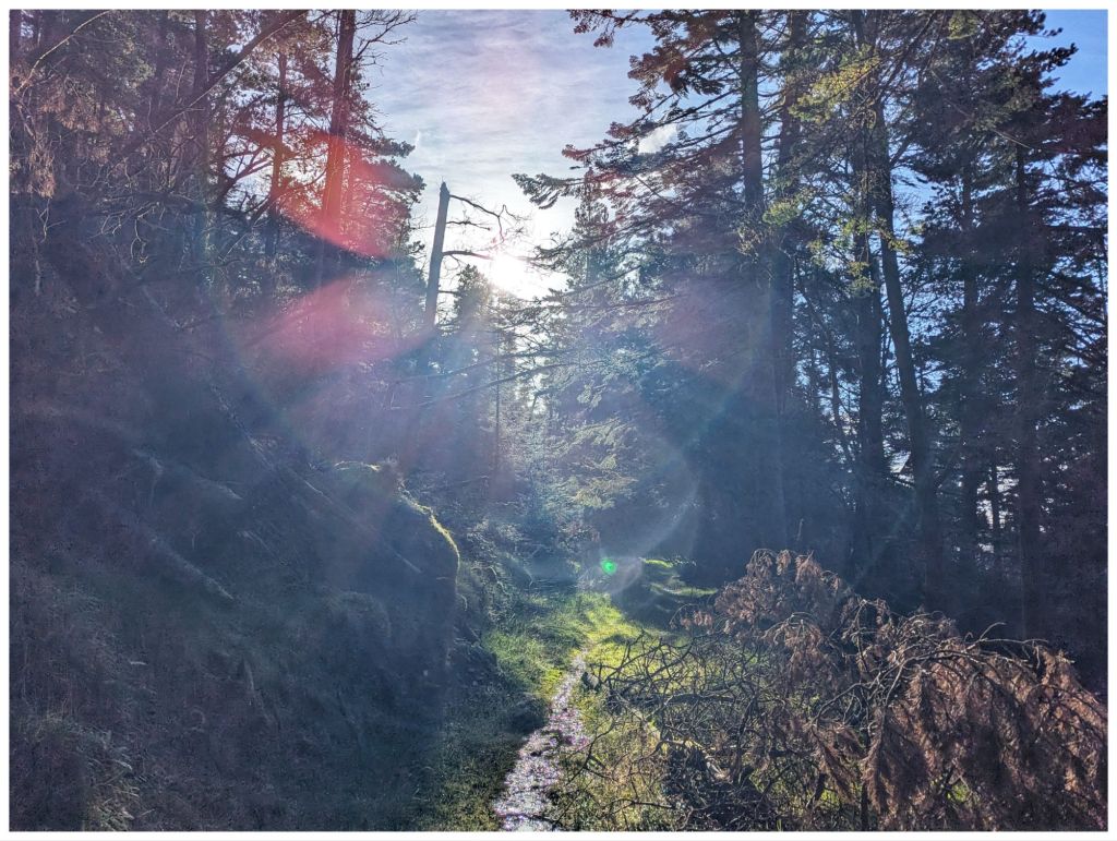
Before long I was on the final drop off the hill and on to the rough track that heads through the forest along the edge of the lake and back to where my hairy friends were waiting to say goodbye.
The forest seems to have been left unmanaged for a good few years so there were a number of trees down across the track but nothing that couldn’t be clambered over or around. Loads of streams crossing the path and neglect gave it a nice wild feel that you don’t often get in plantations.
Back along the tarmac track the way I came in and I was back at the car, tired but smiling. I was delighted I’d made the decision to go ahead with this walk despite the late start. Really enjoyable and perfect weather. A nice way to celebrate the end of the week.
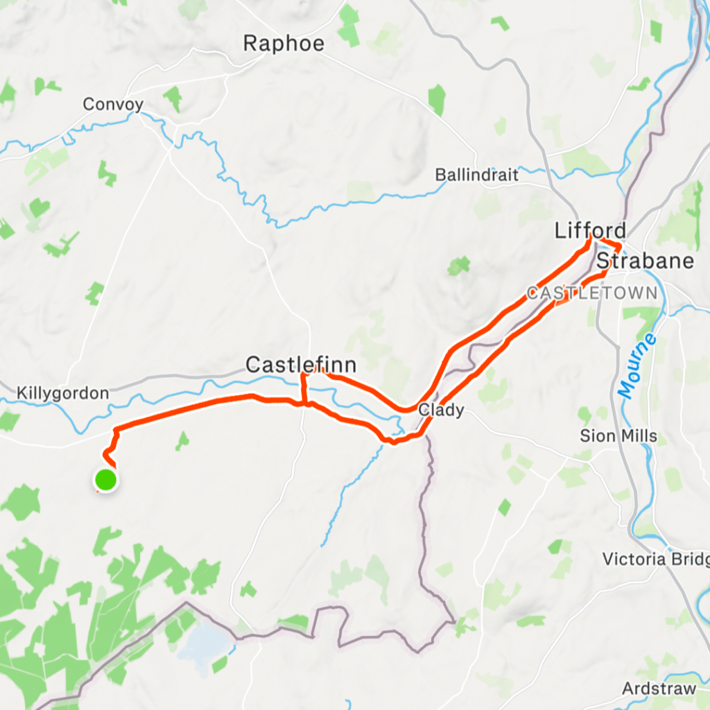
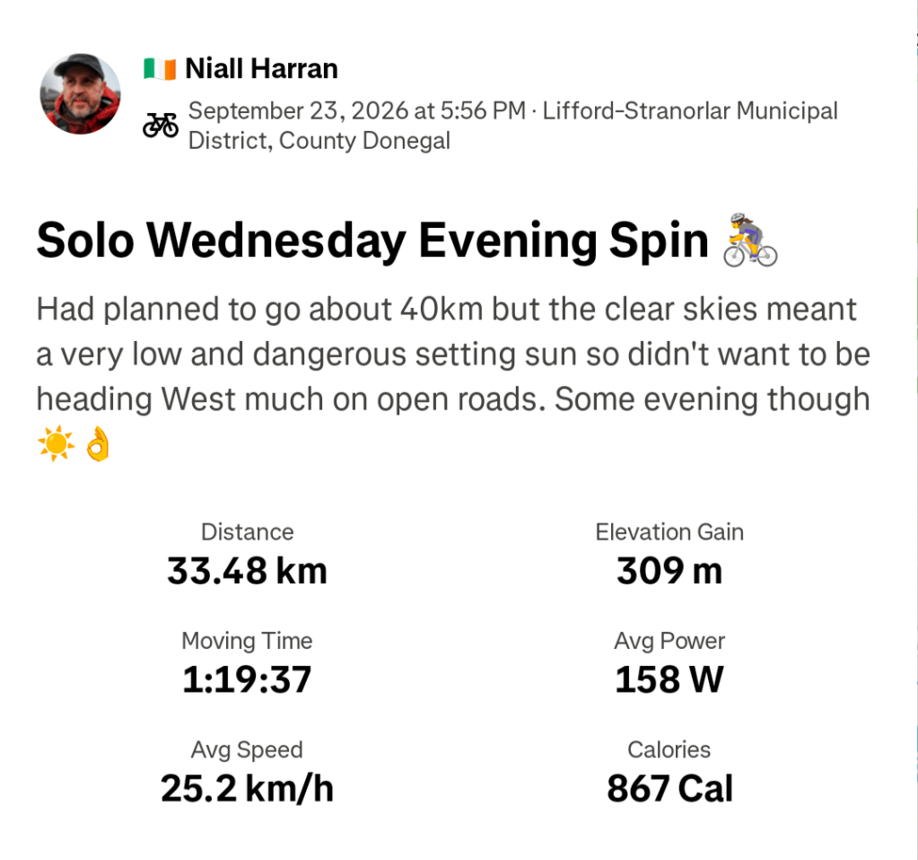
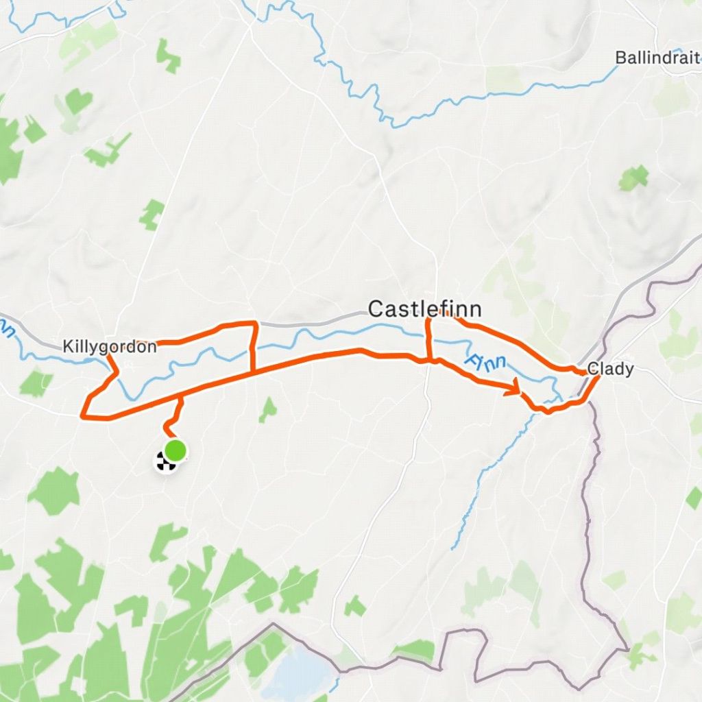
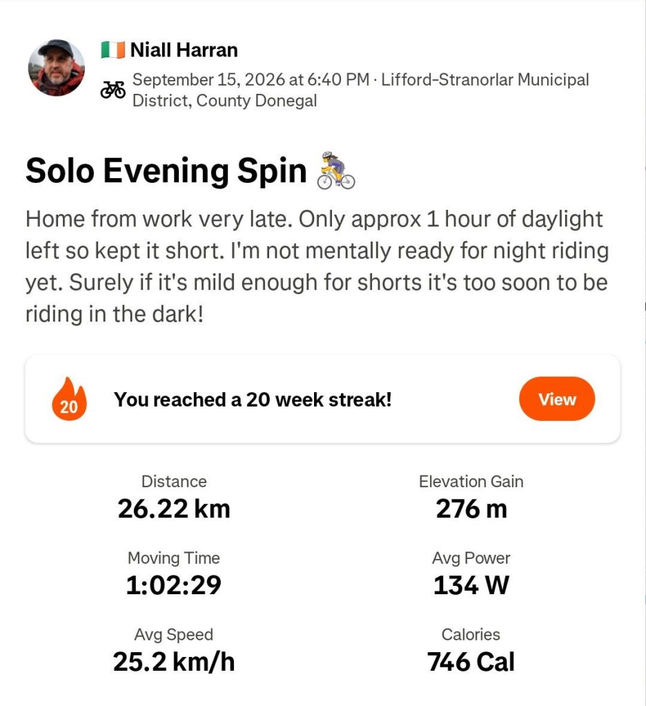
So what’s missing from the last two weeks? Yeah, not much cycling. I did manage one evening spin after work on the 23rd. It was a lovely sunny evening that meant a dangerously low setting sun so my planned 40km route became 33km to use the Greenway and stay off the roads as much as possible on my way home.
With Autumn coming in, shortening days and messy weather I’m finding it difficult to motivate myself out on the bike. Thankfully, I’m really enjoying the hillwalking and I have a feeling that will be my main activity over the Winter.
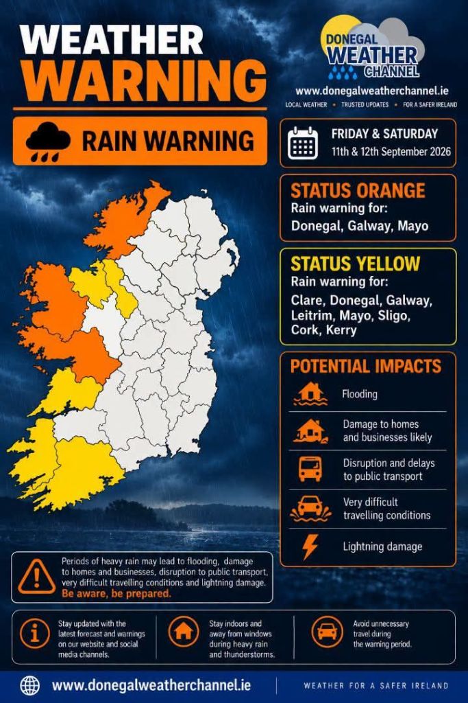
I wrote my last post on a Saturday morning when laziness overcame motivation. The weather forecast was for a band of very heavy rain and thunderstorms overnight Friday, bad enough to issue an Orange weather warning from 1-7am.
I figured there would be lots of surface water and crap on the roads Saturday morning so opted out of the Club cycle and enjoyed a lie-in instead.
Of course Saturday morning wasn’t as bad as expected but having made the decision I was unable to get motivated to get out solo.
Saturday wasn’t a waste though as we became a 4 car household once again!
With the exam and college application marathon finally over Conor now needs to focus on getting his driving license. He had lessons last year and was insured on Catriona’s car, but it was far too big and cumbersome for him as a learner and with the focus on his Leaving Certificate, driving took a back seat 🙊 The Polo is a perfect learner car and once he has his license will give him a level of independence that will hopefully compensate for living at home while at college.
I was back in the hills on Sunday, this time with the Hiking Club. The destination was Silver Hill in The Bluestack Mountains. At 600m it’s just about qualifies as a Vandeleur-Lynam summit and, by default, is also an Arderin. It is the joint smallest V-L sharing the honour with Castle Hill in Kerry.
I was up here in December last year on Cooper’s first venture into the hills. Despite being less than a year ago I couldn’t remember any of the walk after the reservoir. Also despite having a distinctive summit cairn and great views I couldn’t remember the top either! I guess I was more stressed having Cooper with me that day than I realised. Of course, having a leader that knows and sets the route makes for a very relaxing day.
I was surprised at the low turnout. It was a great day but only 5 plus the leader made it.
Close to the parking area I got a low pressure warning on my rear passenger tyre. Once parked up it was clear I had a flat! I decided to forget about it until after the walk. Worst case if I couldn’t get it sorted then Catriona could come pick me up and I could organise an emergency service to sort it on Monday.
Arriving back at the car after the walk I used the electronic pump and jar of sealant to get the tyre inflated (no spare wheel in this car!). Coming into Donegal Town it felt soft again and another inflation got me to a couple of km outside of Ballybofey. On the third inflation I heard a hiss of escaping air and it was clear that the tyre had failed. The wheel was safe so long as I avoided any potholes and figuring the tyre was going to be replaced anyway, I pushed on into Ballybofey and left it in the yard of the tyre centre to be sorted on Monday.
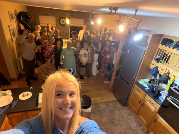
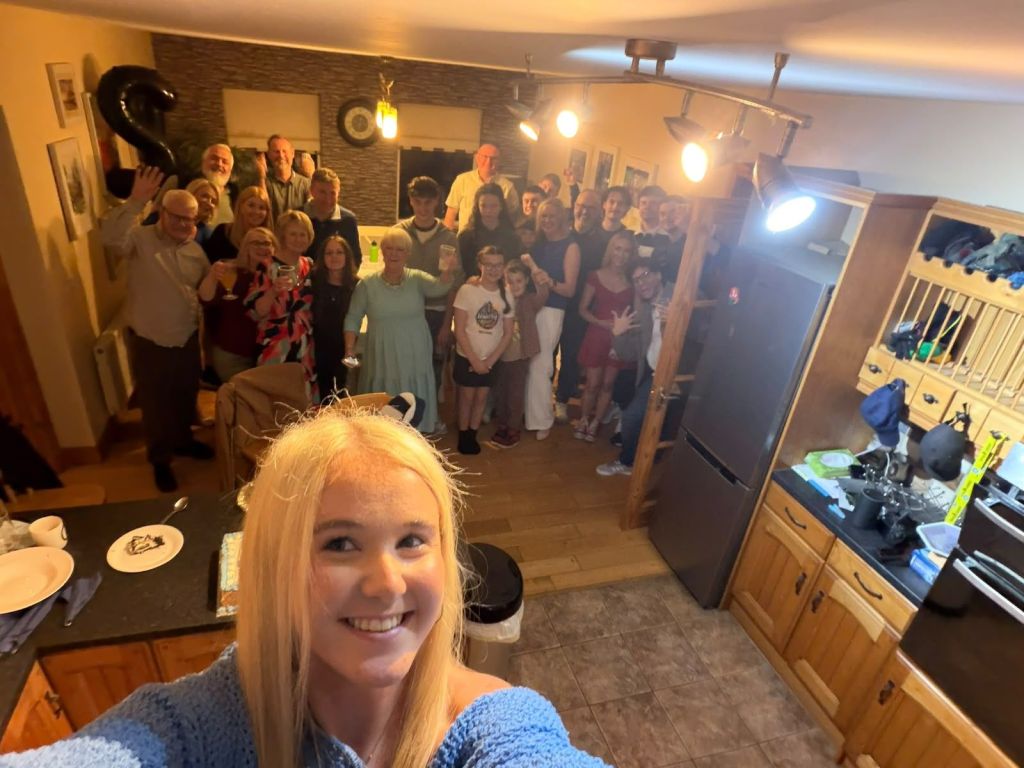
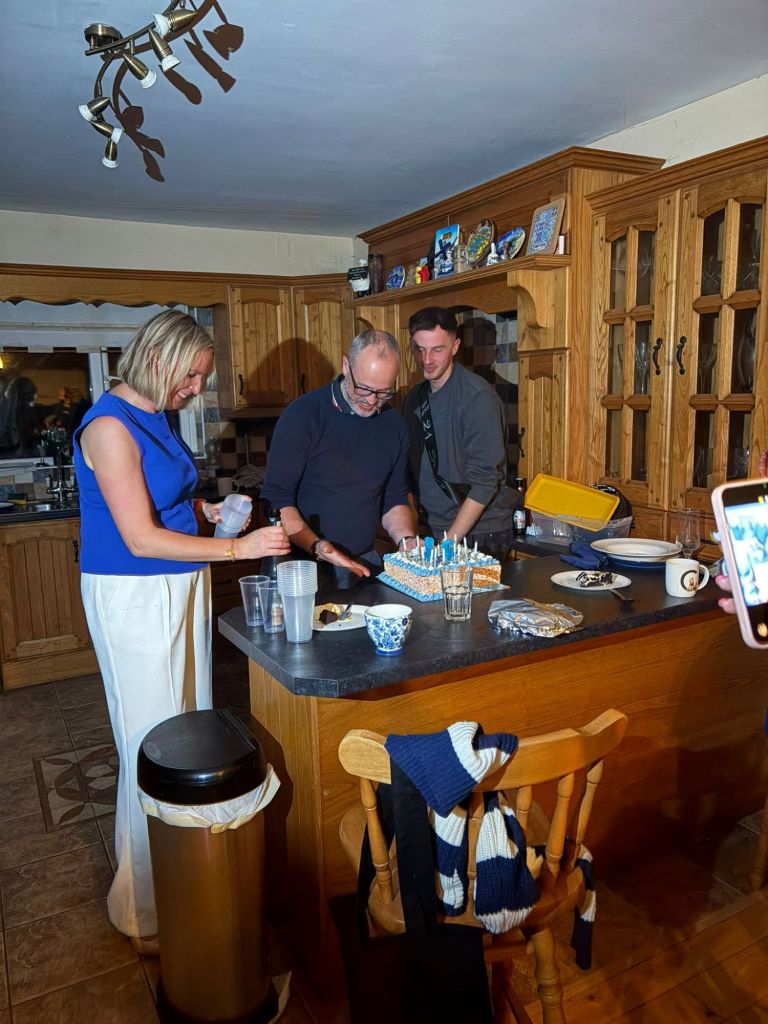
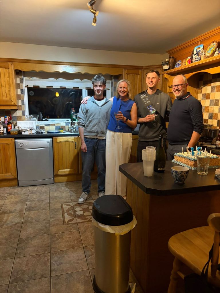
I’d booked Monday as a day off a few weeks ago. I had some annual leave to use up and it was also Owen’s 21st birthday 🥳 Catriona was at work so we held all the presents, cake, etc until Monday evening but the two boys and myself went to Jacksons Hotel for lunch once the car was sorted and retrieved. It’s rare for just the three of us to be together like this and we had a lovely afternoon before celebrating properly in the evening with Catriona.
I was back at work on Tuesday and that’s Club Spin evening. However, I’ve decided I’m not mentally ready for night riding yet so my plan is to cycle solo earlier on a Tuesday and/or Thursday and cycle with the Club at the weekend. If I can get home and out the door by around 5:30pm then I should be able to get a decent 30-40km in before dark for a few more weeks.
My plan didn’t work out great for the first week! I ended up having a longer day than expected on Tuesday and in a pattern that was to last all week, didn’t get home until well after 6pm. I did however, have enough momentum to still get out Tuesday evening for a short spin. Unfortunately, Thursday was very windy and I was knackered after a long day so ended up not doing anything!
I had vague plans to cycle on Saturday but the chance to grab a bit of a lie-in won me over. We also had a celebration get together for Owen’s 21st on Saturday evening so I figured I’d be best to be around the house to help clean and tidy rather than leaving everything to Catriona. I also had plans to go hillwalking on Sunday morning so wanted to keep fresh legs.
With a later than planned finish to the night it turned out that my hillwalking plans were a bit optimistic! Sleepy heads kept us in bed until well after 9am but I didn’t regret it as the chance to get up reasonably refreshed was worth it and will hopefully give me a better run at the week ahead.
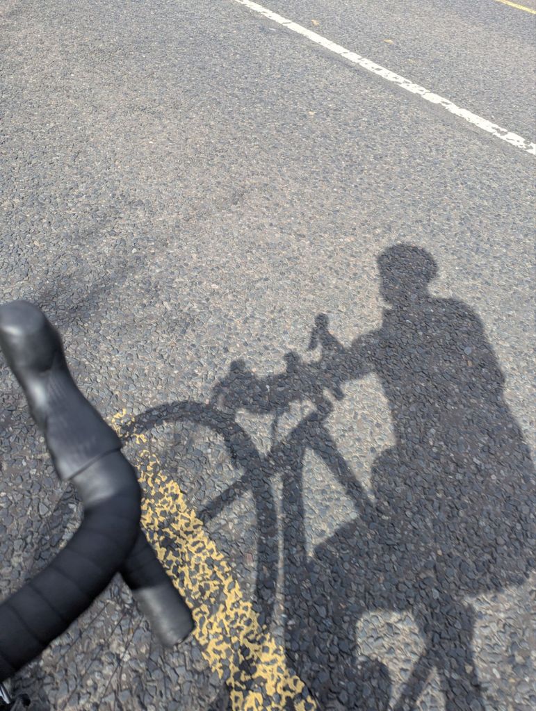
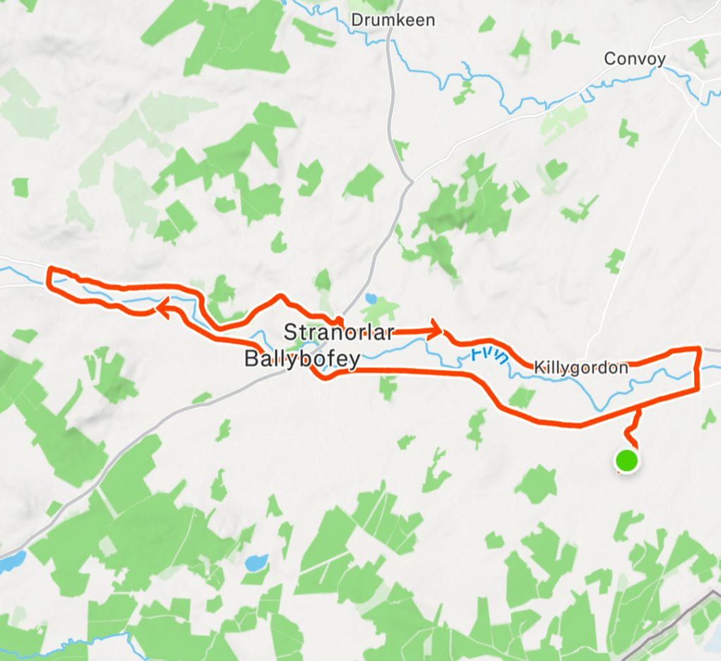
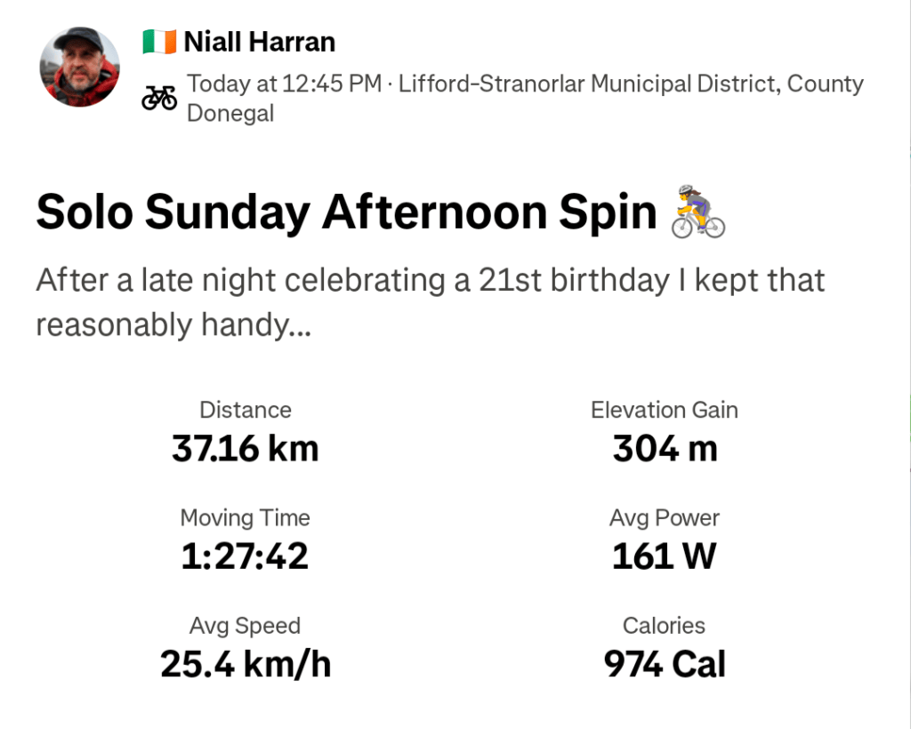
It’s a cracker day here today so in an effort not to waste the day completely I did get out for a solo spin on the bike. I decided to keep it reasonably sensible with a planned 33km ride that I pushed out to 37km. I didn’t expect or appreciate the very cool headwind on the way out but when I turned for home it was a very enjoyable tailwind with lovely warm sunshine. Hopefully not the last of this weather for the year.
The news last weekend was full of Trump’s visit to Ireland. The venue for the Irish Open Golf was his hotel at Doonbeg so there was no keeping him away. He did the usual official visits but also made an unexpected commentary on the possibility of a United Ireland. The memes were wild but this was my favourite (may not translate well out of Ireland).
The SDLP were the quickest off the mark with this theme:
Trump is also throwing his toys out of the pram over the invitation by the EU to Canada to become the first associate member. This article made me smile this morning:
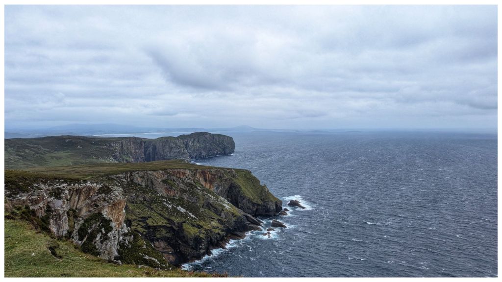
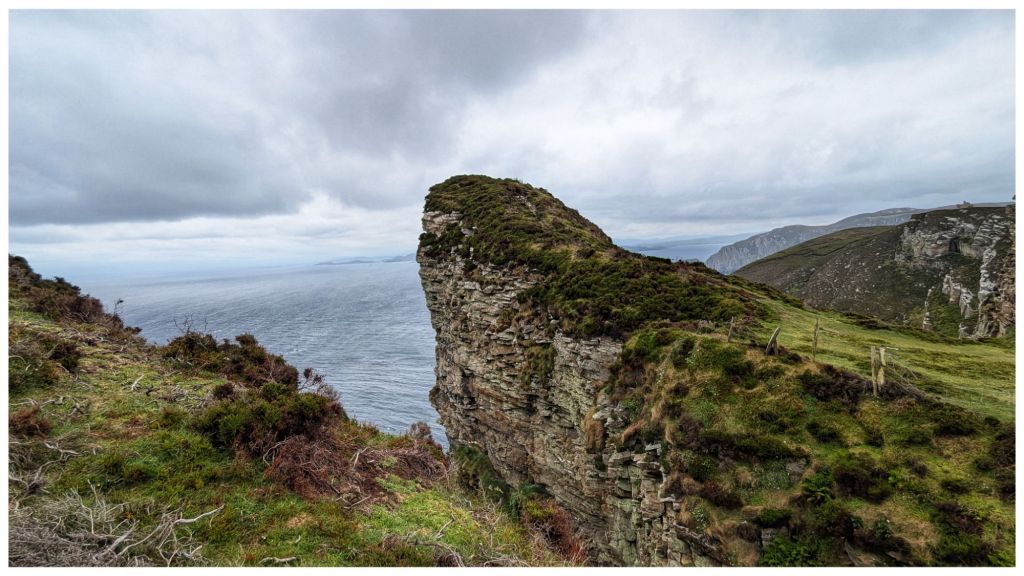
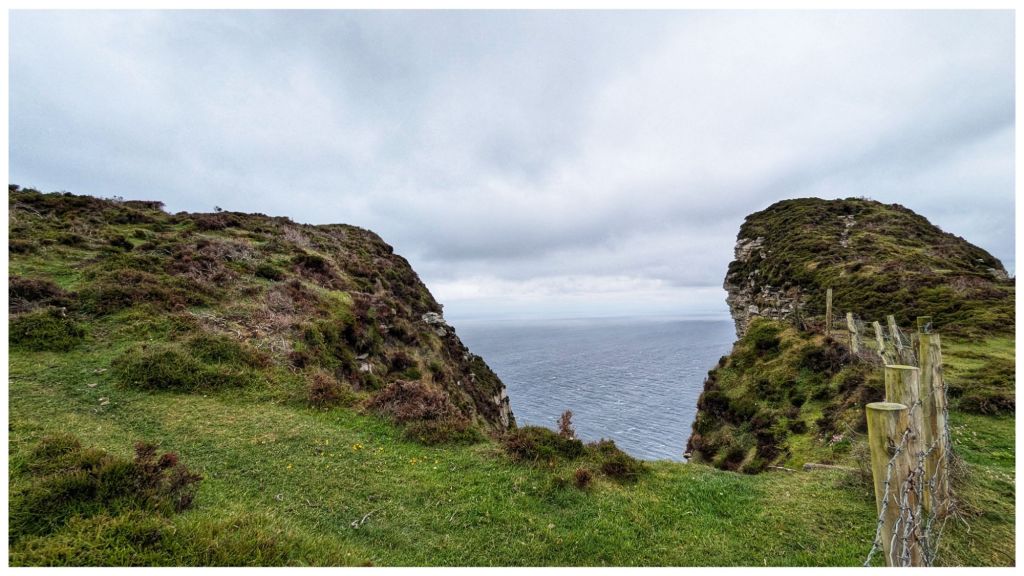
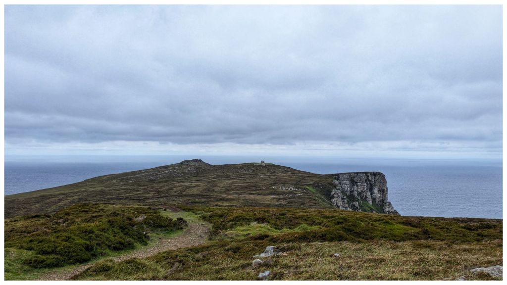
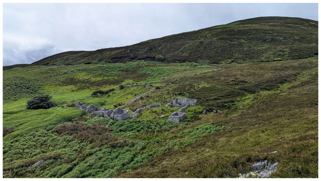
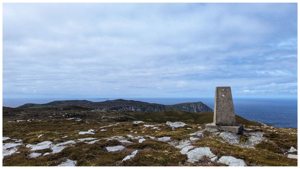
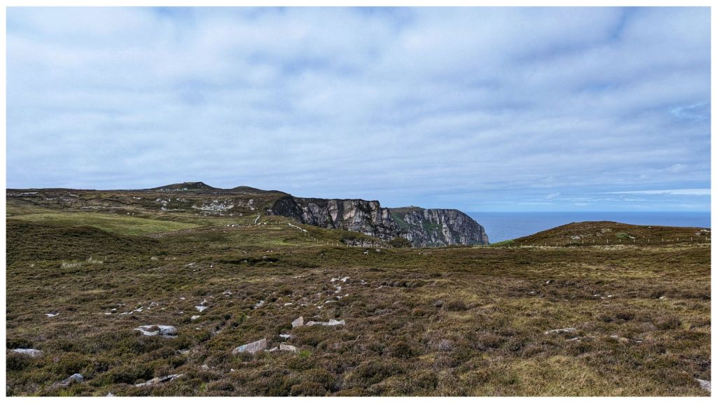
Yet another absolutely stunning walk on Donegal’s North Coast with the Bluestack Ramblers. This time on Horn Head with amazing cliff views seen from multiple angles and a trip out to the tip of the horns before heading inland to the “helicopter landing pad” (Duncap Isle) and a stiff climb back up to the highest point of Croaghnamaddy (252m) ⛰️👣
9.5km and an accumulated elevation of 734m with all the ups and downs typical of a coastal walk
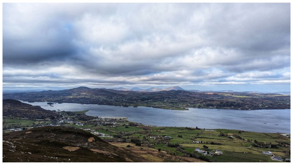
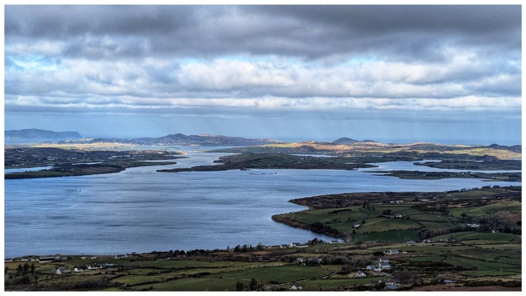
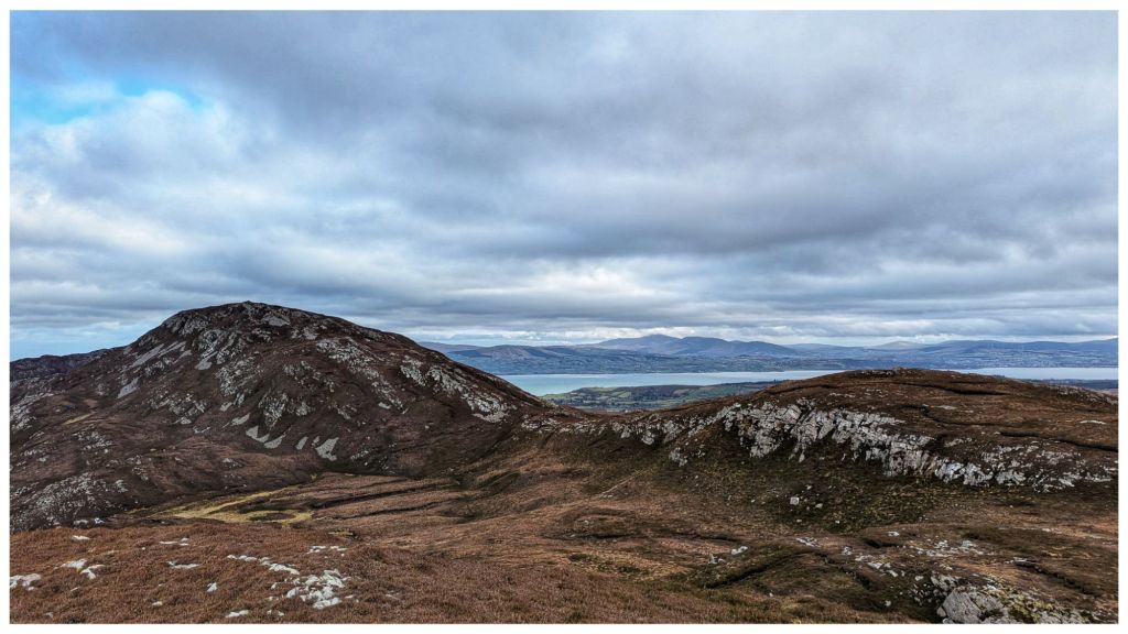
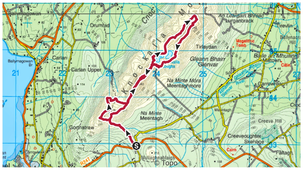
Brilliant walk up on the Knockalla ridge in North Donegal. Brilliant day and one of the most enjoyable hillwalks I’ve had for a while. Great views in all directions out over Mulroy Bay, Lough Swilly and along the coast to Horn Head, Fanad and even North East to Malin Head.
A place I’ll definitely be returning to and having identified a couple of possible camping spots I might even get up here with a tent.
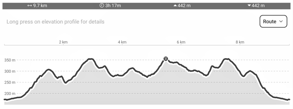
I forgot to start my watch until I was almost 2hrs in so I’ve no real idea of the distance.
Edited 03.03.25 22:45
One of the other group members was tracking the walk and shared his gpx file with me. Turned out to be 9.7km with lots of up and down 🙂
On Sunday last week I went for my second guest walk with the Bluestack Ramblers Walking Club. My first was out to Inishbofin Island a few weeks ago. Before joining the Club I wanted to try a mountain walk to see if the group dynamic would be any different.
Turning up at the meeting point it was nice to see some familiar faces from the first day, to be recognised by some and to see some new faces also. The group demographic was quite similar but tilted more towards the older 60+ range. This surprised me as I expected a younger group on the tougher walk. There was also a good few more men this time and the mix worked well for socialising.
The walk started high above Lough Eske just outside Donegal Town. It followed part of the Bluestack Way before heading off into the lower slopes of the Bluestack Mountains. The initial terrain was gravel track before changing to a grassland and bog mix. Ground underfoot was damp and boggy at times but easily manageable. I was surprised how much easier going it was in comparison to the terrain on Barnes Gap. I think this area has been used much more for sheep grazing which has kept the heather at bay and kept the grass at a shorter length.
On the way up we were following a faint track that was either a reasonably well established hiker track or a sheep highway. Either way it was a convenient guide to a small river crossing with a waterfall, that must be impressive in Winter, and a climb up a small gully that brought us to the first of many small lakes.
lough nacollum
Retaining the height we had gained we continued along the lower slopes of the main Bluestack ridge and were soon at a great viewpoint high above Lough Belshade. We had a great view of the basin the lough sits in and a great feeling of the surrounding higher hills.
wide angle view
With a slight breeze and a great view this was to be our halfway point for lunch. However, the breeze quickly dropped away allowing the dreaded midge to rise, resulting in a very hurried lunch break and putting us quickly back on the track.
The way back was slightly different. We dropped down to a slightly lower level to wind our way among a few of the other small lakes and streams. This was a really nice walk back and I was surprised at the number and variety of little loughs as well as the small waterfalls and streams wending between each of them.
lough fad
loughinisland
lough anabosin
We soon arrived back at the gravel track and dropped down to the parking area where we started and I took the opportunity to enjoy the great views of Lough Eske that I missed getting ready to hike earlier in the day.
This hike was a very different experience for me. With it being a guided walk all the concerns about route and navigation were removed. While I was equipped and aware of my location, in case I got separated from the group, I didn’t have to worry at all about where we were going and I was able to relax, enjoy the scenery and chat to other members of the group.
While I won’t give up solo walking I’ve decided that I’m going to enjoy being a member of this club and have already signed up. There’s a hike every Sunday and I’m planning to go on a more challenging walk next week up Dooish in Glenveagh.
The lesser known island of Inishbofin lies off the Northwest coast of Donegal between Magheraroarty and Tory Island. Not to be confused with the better known island of the same name off the coast of Galway. Inishbofin is the anglicised version of Inis Bó Finne, meaning Island of the White Cow.
I’ve been thinking about joining the Bluestack Ramblers Walking Club for a few months now. I’ve enjoyed getting back into hillwalking and hiking but, while I enjoy my own company and do enjoy hiking solo, I’m very conscious of the fact that I spend way too much time alone and need to expand my social circle. This club seemed like a good contender. When I looked at the calendar and saw they had a walk planned on Inishbofin I couldn’t put it off any longer. This is somewhere I’d never go alone and I figured it would be a good walk to get a feel for the club dynamics. The highest point of the island is only 33m so I knew hill fitness wouldn’t be a problem.
The club allow 3 walks as a guest before you have to join so I registered to join this walk and rocked up to Magheraroarty Harbour feeling a little nervous but also excited. I soon met the group and was surprised to see so many ladies and also that I wasn’t the only fresh face. A fella John was on holiday to visit his parents and decided to come along.
Of the 14 walkers there were 9 women and 5 men. Most in their late 50s, early 60s, one guy about 40ish and one woman the same. She was South African originally, living here 23 years. Another woman was Dutch, here just under a year. One woman from Dublin has a holiday home in Donegal and a Yorkshire man who is retired and here about 25 years. A very diverse group!
Getting to the island involved approximately 20min in a small ferry and as the seas were pretty rough it was a challenging crossing with a lot of chop, big swells and spray. We were also caught in a heavy shower so I was glad to finally reach the island with a queasy stomach and slightly wobbly legs. Back on land the weather was improving and after a chat about the history of the island we were off.
We completed almost 8km on a walk around the coast of the island. We didn’t actually get to the highest point (but came close) but it wasn’t about that today. I found the group very friendly, welcoming and chatty. I spoke to most of them on the walk and we had a nice lunch stop on a sheltered stony beach where my gas stove was a big surprise and got a lot of interest.
The pace was relaxed which allowed everyone a chance to socialise and also take lots of photos. I also took quite a lot of footage on the GoPro so hope to have a video at some stage. My favourite photos are below.
muckish to errigal from magheraroarty
inishbofin ferry
tiny church
one of many abandoned homes
tory island in the distance
an bó finne – the white cow
looking out to errigal
The trip back was just as rough as going out but this time I stood close to the front. Being on my feet helped a lot with the very strong swell and I ended up really enjoying the experience. It was a nice way to end the day.
The club have a walk planned every Sunday for the next while and there are two hillwalks that definitely appeal to me. I think I’ll go on those to see how that affects the makeup of the group and then decide what to do about joining. I think I will join though.