
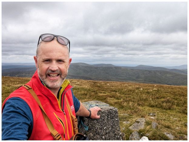
Sawel or in Irish Samhail Phite Méabha. This translates to ‘the likeness of Méabh’s vulva’ proving once again that Irish men have always been obsessed with female body parts!
Sawel at 678m is the highest summit in the Sperrin Mountains, the 8th tallest in Northern Ireland, the tallest in Northern Ireland outside of the Mournes but, more importantly, it’s the County High Point for both Derry and Tyrone as the summit sits on the traditional border between the two.
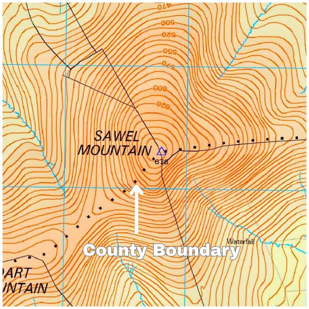
I have been up here before. It was 2007 with my friend Jim. It’s strange how the mind works as it feels much longer ago than 2007 but also feels nothing like almost 20 years ago!
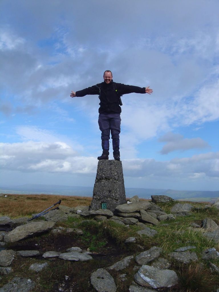
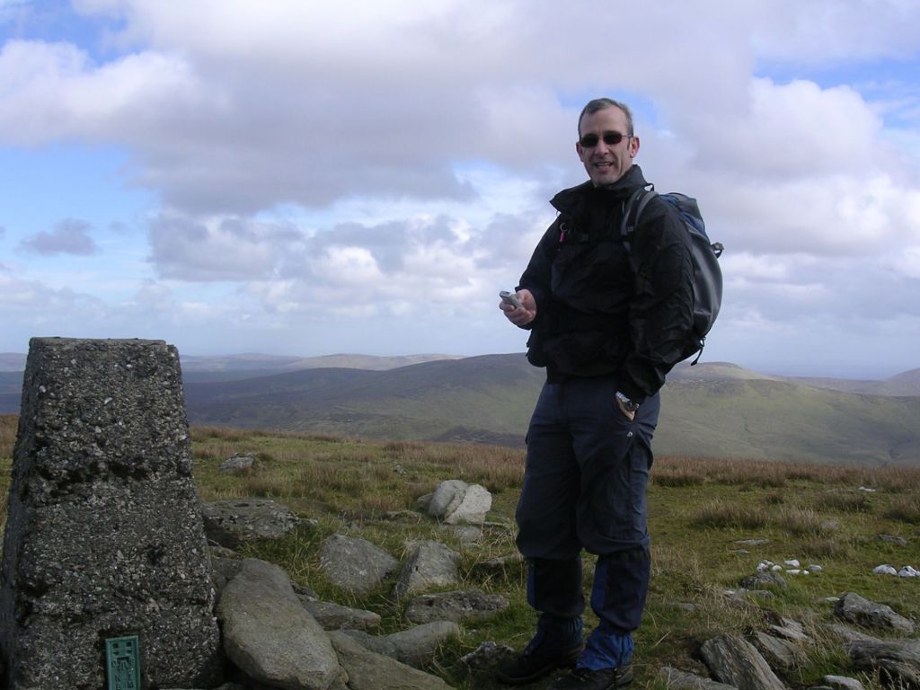
That day we walked a pretty long 17km route with a big section of road that straddled the start and finish.
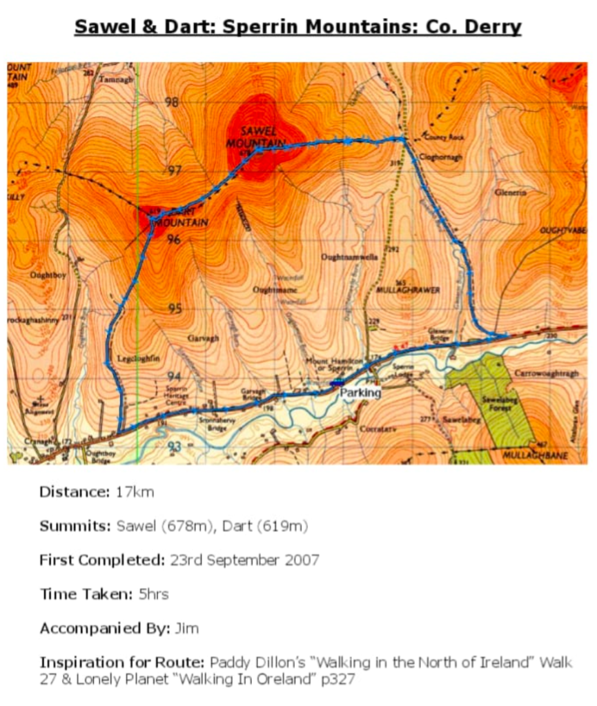
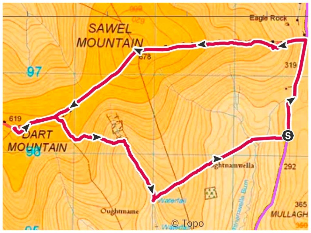
This time I wanted something shorter with less road walking and found a good route on Mountainviews.ie Predicted at 9.5km and only 1km on road.
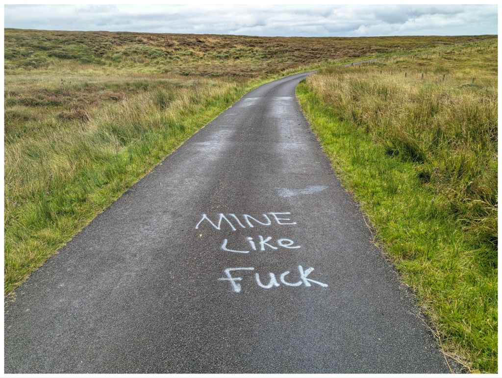
I parked in a small layby right where the route pops back out on to the road at the finish. This gave me a 1km walk to the start of the off-road section. There’s a bigger parking spot here but it would have meant walking the road at the end and I felt that would have reduced the enjoyment. Better out of the way when I’m fresh and use it as a warm up.
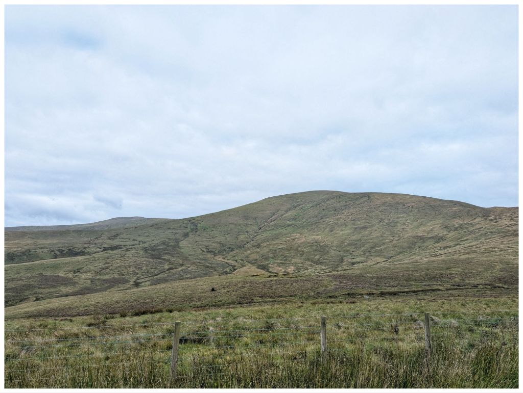
Once you leave the road there’s a pretty steep climb up the first shoulder. It evens out after about 1km for a short stretch and then you gain approximately 250m elevation in the next 2km. The usual false summit and then you are rewarded with a nice trigpoint surrounded by a rocky collar. The views were excellent despite the overcast sky. I think you can see the full Sperrin range from up here and I could even make out a hazy Errigal and Muckish in the distance.
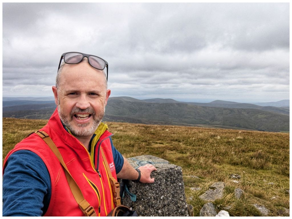
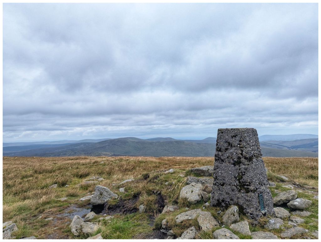
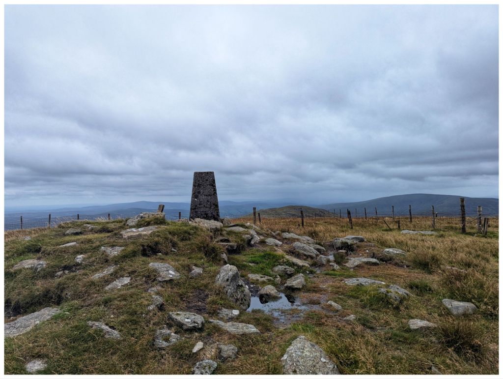
Terrain on the way up was squelchy at times but much better than I expected. There were some dodgy patches but a clear track helped avoid those. This is a well trodden summit with easy access and the lure of the County High Point. One boggy stream required a big jump to cross and also a bit of a leap of faith but I made it without getting wet or embarrassing myself!
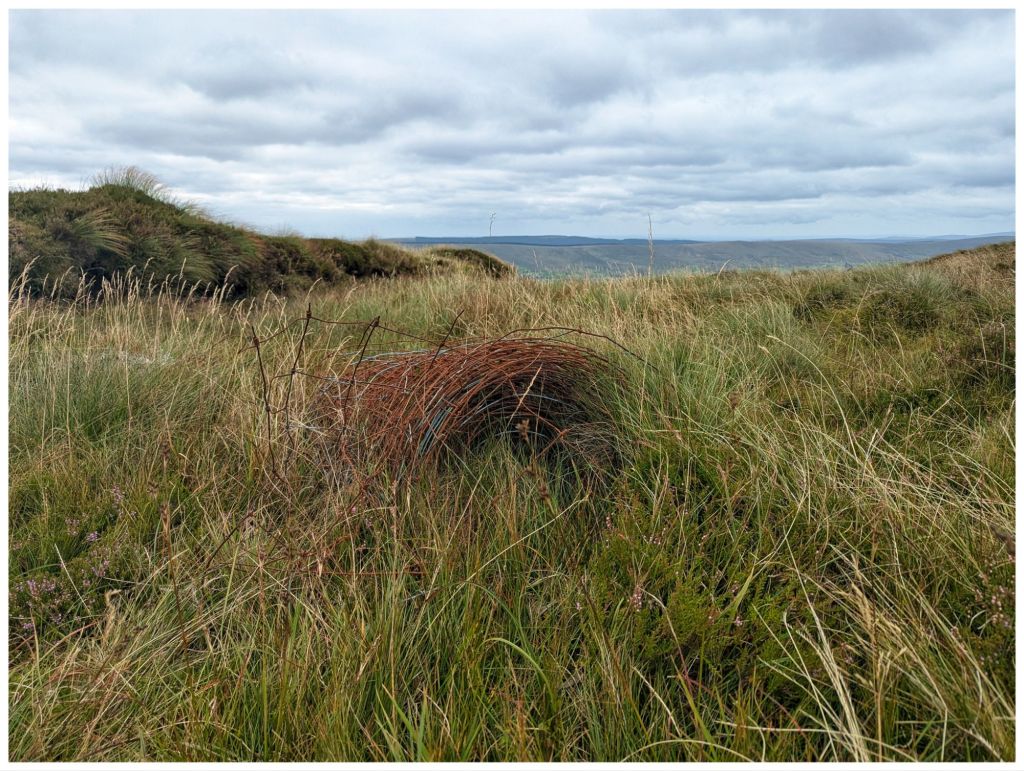
The track follows a fence line all the way right across to the second summit of Dart so navigation is easy. The fence has been upgraded over the years and as is the habit in The Sperrins the old rolls are left on the hillside. I’ve seen this in other locations and find them strangely fascinating as the bog slowly reclaims them.
As I started the climb to Sawel I could see a group about an hour ahead of me on the track. When I got to the summit they were a little way off sheltering out of the wind and having lunch. I went over for a chat. They seemed to be a group that met online or possibly on a guided walk with a local. One of them was a 75 year old lady up from Limerick ticking off her County Highpoints. Only 5 more to go!
I left the group and headed on over to Dart (An Dairt ‘the lump’). This is more mountainous looking with quite a craggy top from the Sawel side. After a steep descent from Sawel it was a very nice walk across the coll between the two with nice views to the North and South.
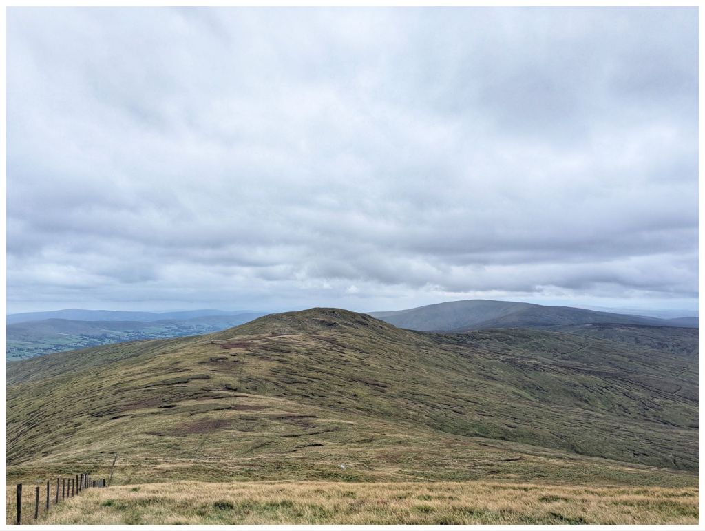
A shorter and not quite as steep a climb brought me to the fairly large summit cairn at 619m.
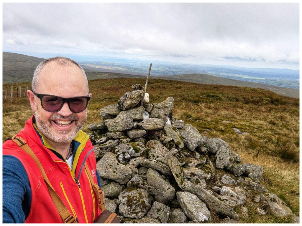
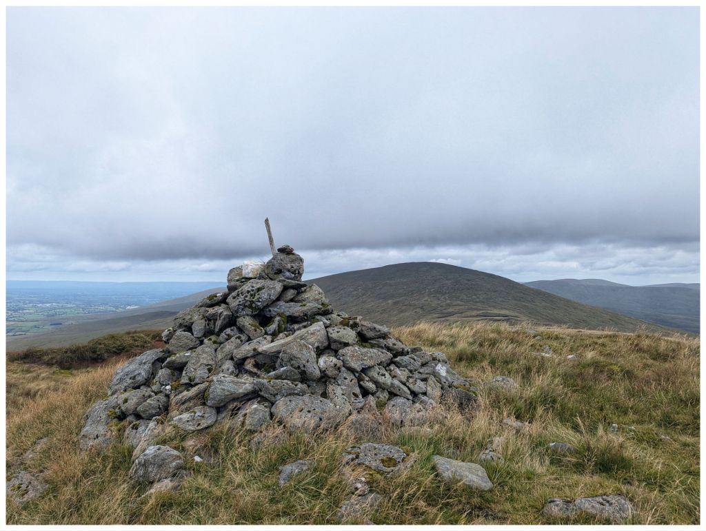
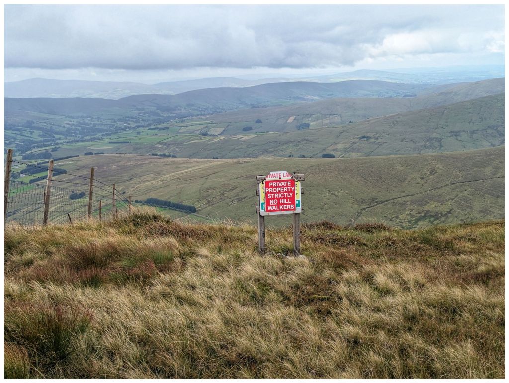
Historically there have been access issues in this area of the Sperrins and unfortunately, 20 years after my previous visit there is still a sign warning walkers away from the adjacent ground and the fence on this section of the hill is much higher and topped with barbed wire 😔
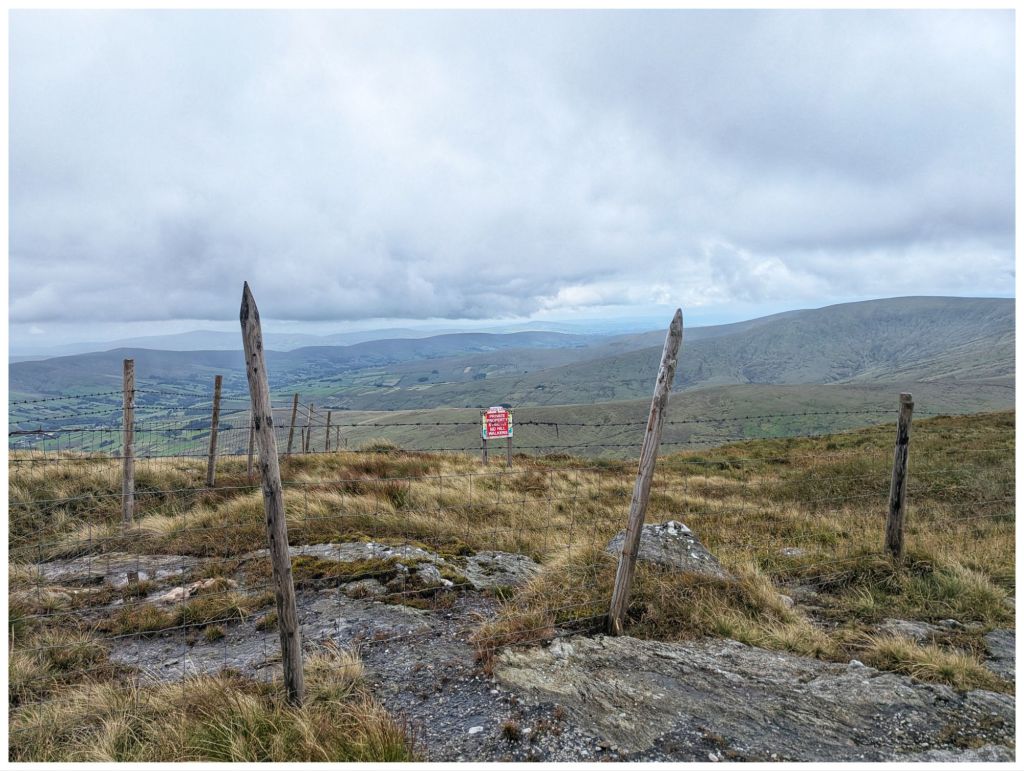
After some photos I retraced my steps partway back across the coll towards Sawel. At a fence junction my route diverged down but first, a handy rocky outcrop provided a good seat and a windbreak from the cool breeze that was blowing through. Time for my lunch.
Crossing the fence I was heading in more of a Southerly direction. This is off the usual track so I was having to pick my own best route across the rough ground overgrown with waist high rushes. I came out of this after a few hundred metres on to more grassy terrain and I veered off East towards the gulley that the hill is named for.
I crossed another fence into a more active grazing area that covers both sides of the gulley. A large flock of sheep was in this area and they definitely didn’t like me coming through. Lots of bleating and they marched off across the hill in lines to stare accusingly at me from the other side.
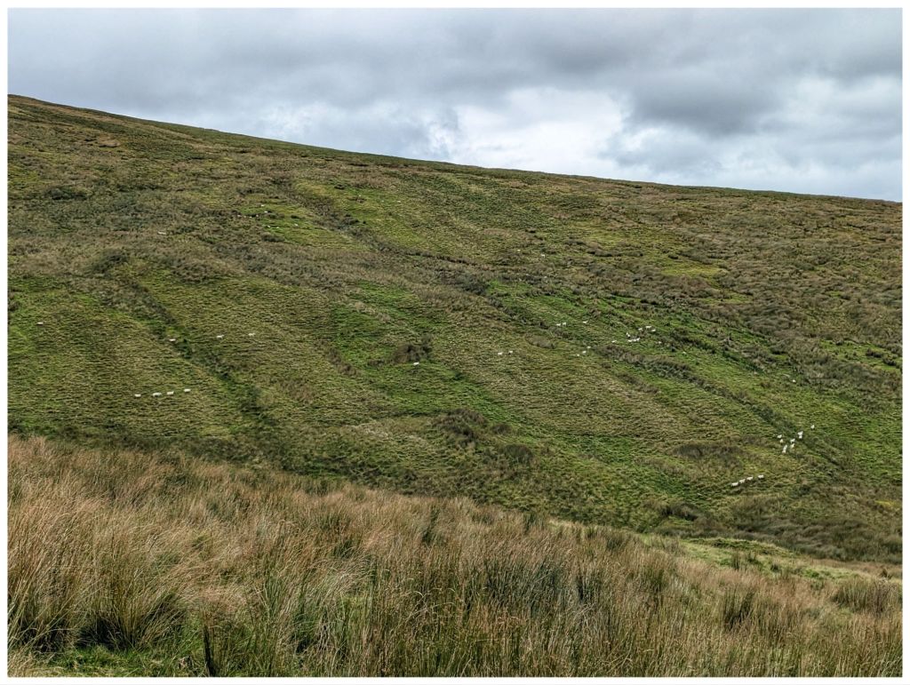
Dropping down into the gulley I was aiming for the waterfalls marked on the map. However, I had low expectations as the stream was fast but less than a metre wide. Multiple small falls gave me the impression that I would be disappointed.
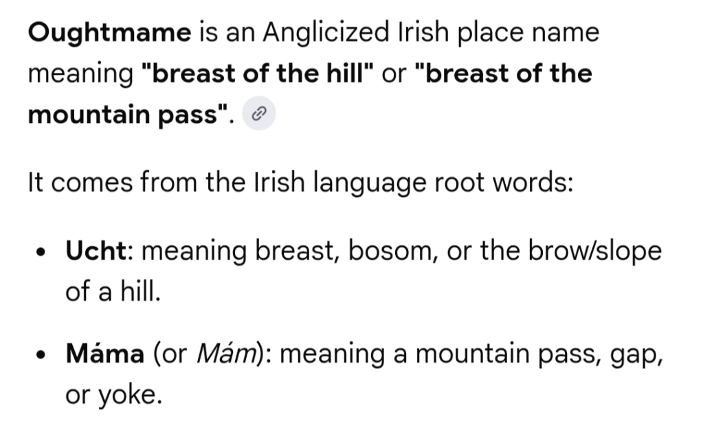
Walking along the stream that eventually becomes Oughtmame Burn was hard work. More waist high rushes, lots of holes, some boggy bits and smaller hidden streams flowing into the burn. Unsurprisingly, the burn once again confirms the male obsession with female body parts…
I was seriously doubting the effort was going to be justified when suddenly this appeared:
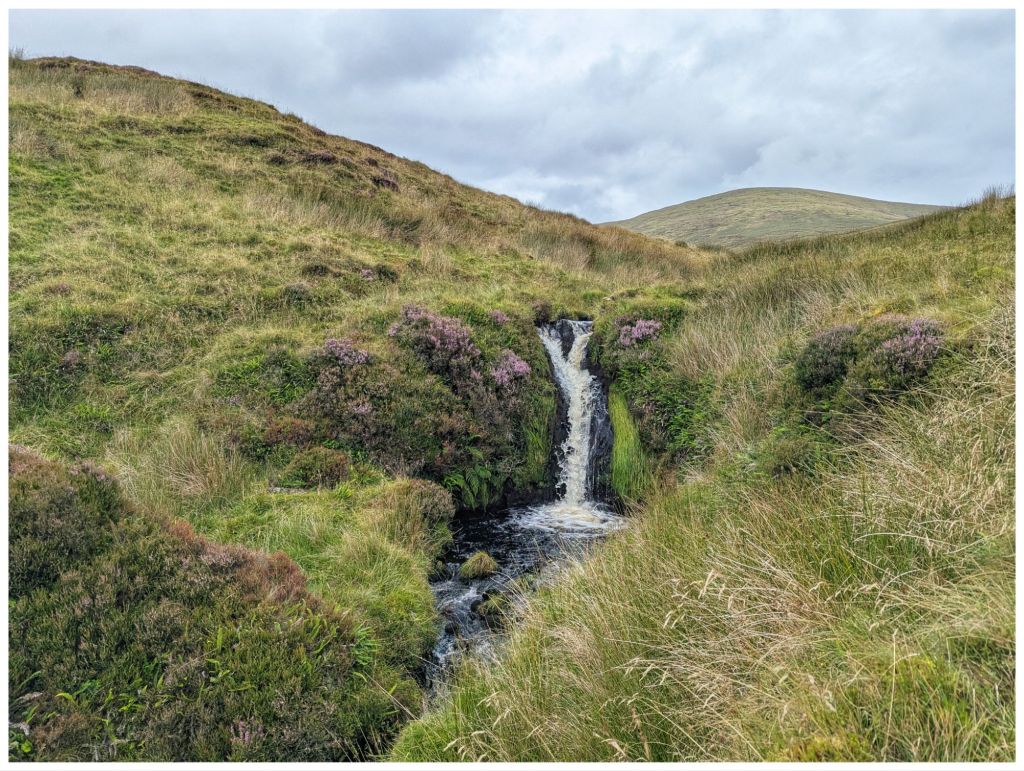
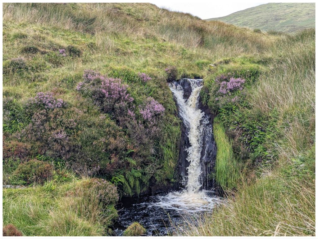
The photos don’t really do it justice and if you’re into wild swimming I’d say the pool is deep and good to explore. Probably freezing cold too!
Leaving the waterfall was a steep climb up out of the gulley across ground that was a mix of grassy clumps and heather before topping out to an area that seemed to have been burned in the last couple of years.
Navigation from here was easy as I could see the car on the road across the hill. In poor visibility though, this would require a lot of care and a compass bearing as the hillside is pretty featureless and it would be easy to get turned around. Not today though as I was clearly able to see the stream confluence and fenceline that was my next target.
To get there I had to drop down into yet another gulley, cross a low fence and then pick up the fenceline for one last steep climb back to the car.
Walk Stats:
- Distance: 10.3km
- Elevation Gain: 615m
- Total Time: 4hrs
- Moving Time: 2.5hrs
This was a walk I’d been looking forward to for a while and one I really enjoyed. It reminded me why I like the Sperrins so much.


And there we were only chatting about county high points!
LikeLiked by 1 person