Last Wednesday I decided to head west of Ballybofey and up into the outer reaches of the Bluestack Mountains. There are a lot of big walks there in my closest 50 summits but also some shorter ones for days like today when I’m short on time.
Cuillagh SE Top (369m)
There is so much choice in this area that it took me a long time to decide but this looked like a nice walk. The page on MountainViews also had a track to download. I initially thought it was about 5km and would take about an hour to an hour and a half but I had it mixed up with one of the many others I looked at!
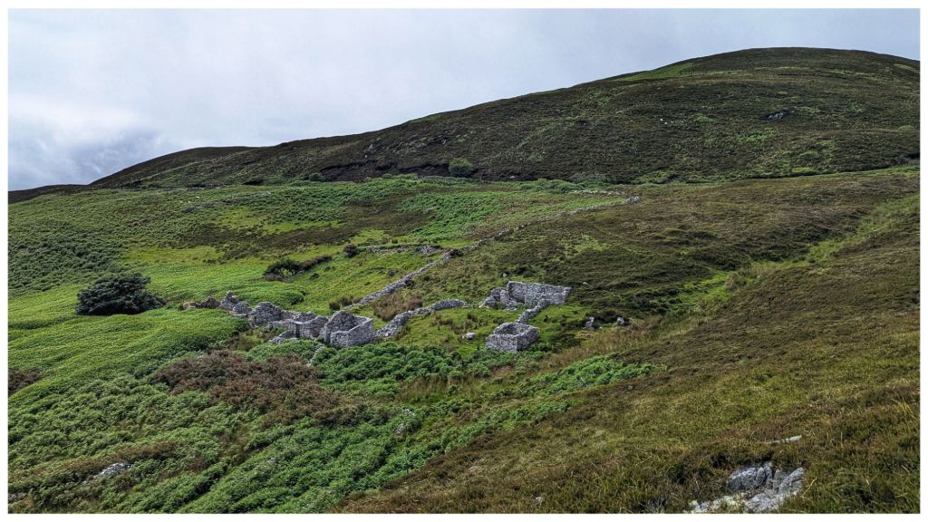
There is a good parking spot close to a house that is literally in the middle of nowhere. A number of scrap cars are parked in a layby area with ample space to add another.
The first section of the walk heads along a farm lane passing through two gates before taking a left turn and heading straight uphill across the grazed grassland. Navigation is easy as you are basically heading straight for the summit over some rolling hilly sections. Ground underfoot was soggy but not too boggy. The area was heavily grazed and the very wary sheep had kept the heather and grass short which made the walking much easier.
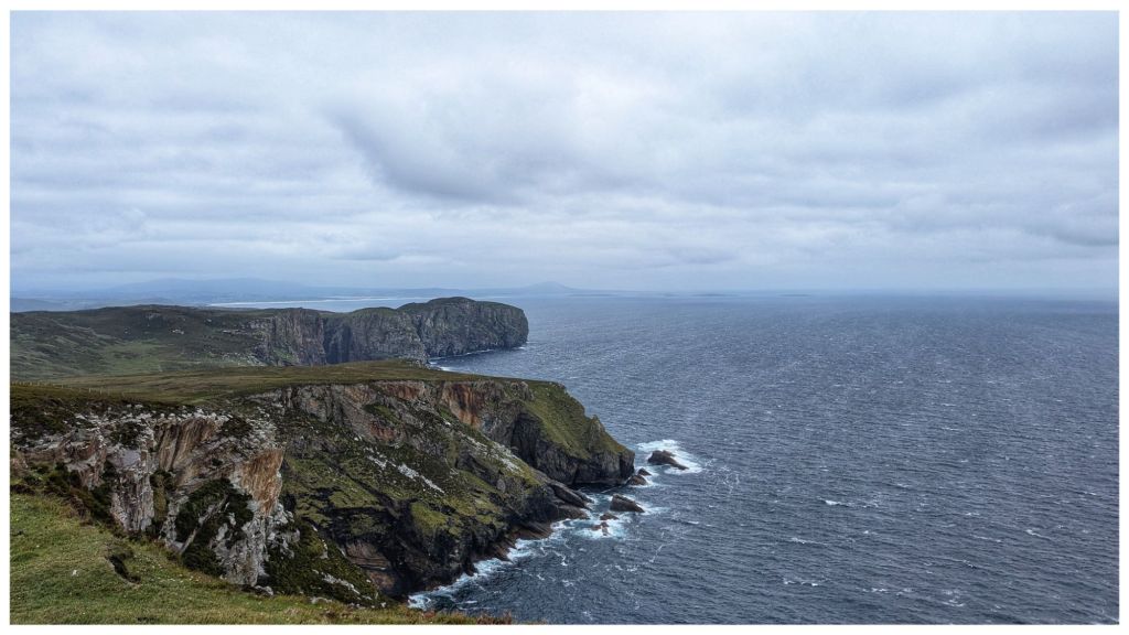
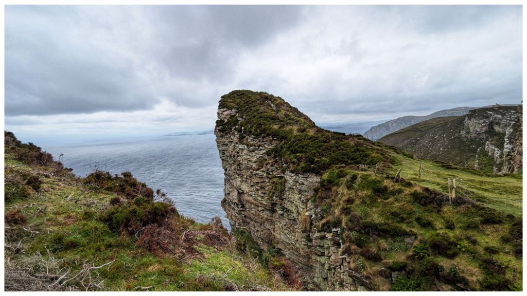
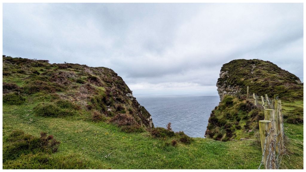
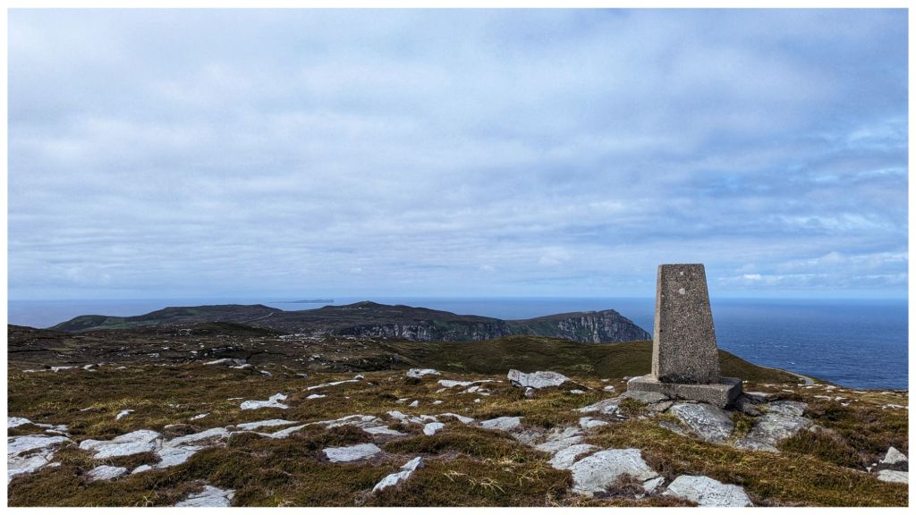
I reached the top much quicker than expected. There is no cairn or summit marker and there were a number of potential high spots. I stood on them all but my favourite was the rocky outcrop on the far side of the fence. The views from here were more than worth the effort of climbing over the fence twice.
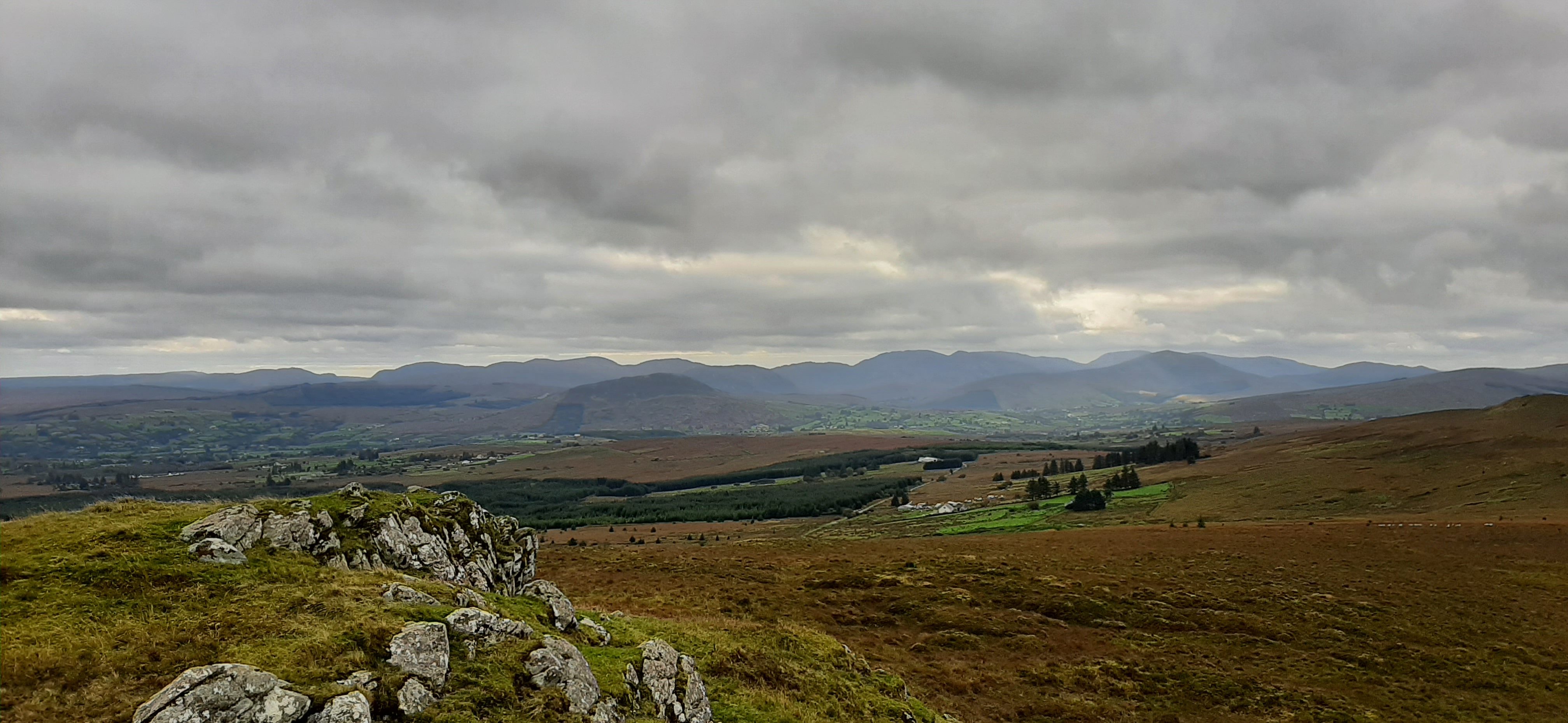
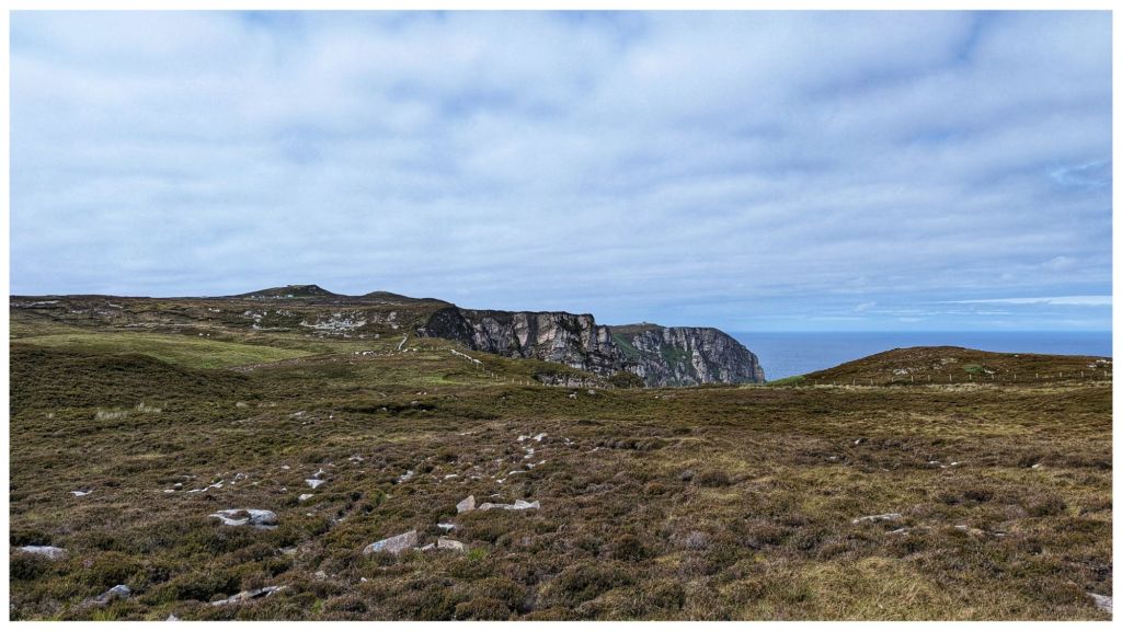
views southeast to the bluestacks
north with errigal and muckish in the far background
towards inishowen

summit selfie
Having wandered around for a while I headed back to the start by a slightly different route taking me across two other grazed but empty fields. On the way I spotted this lad crawling through the grass. Seems late in the year but I’m sure he knows what he’s at.

The final section before the track involved scrambling down into and back out of a surprisingly deep gully formed by a stream running off the hill.
At only just over 3km this was a very enjoyable walk with great views of the Bluestack Mountains and North towards the Derryveagh Mountains. Definitely worth a visit.
Cuillagh SE Top on Mountainviews.ie
Cark Mountain (364m)
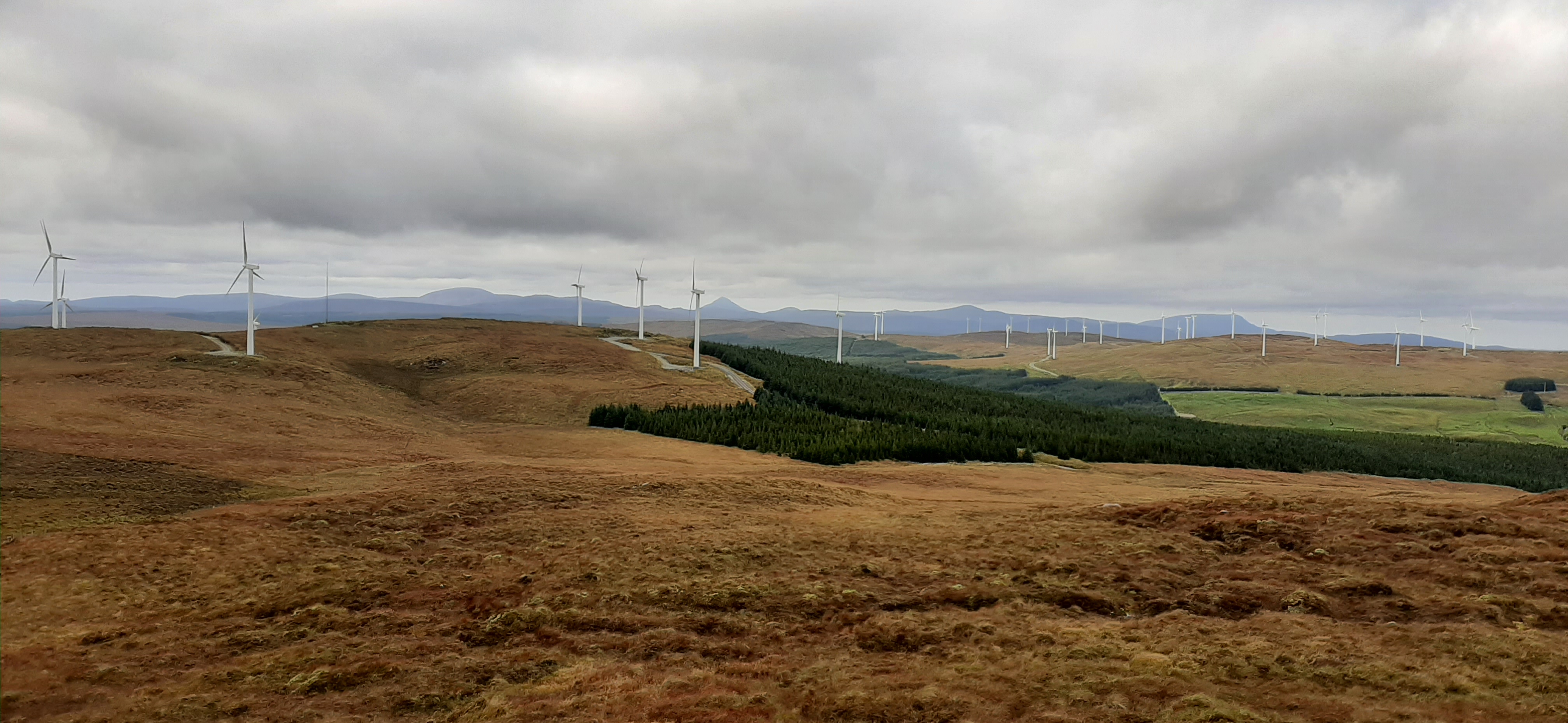
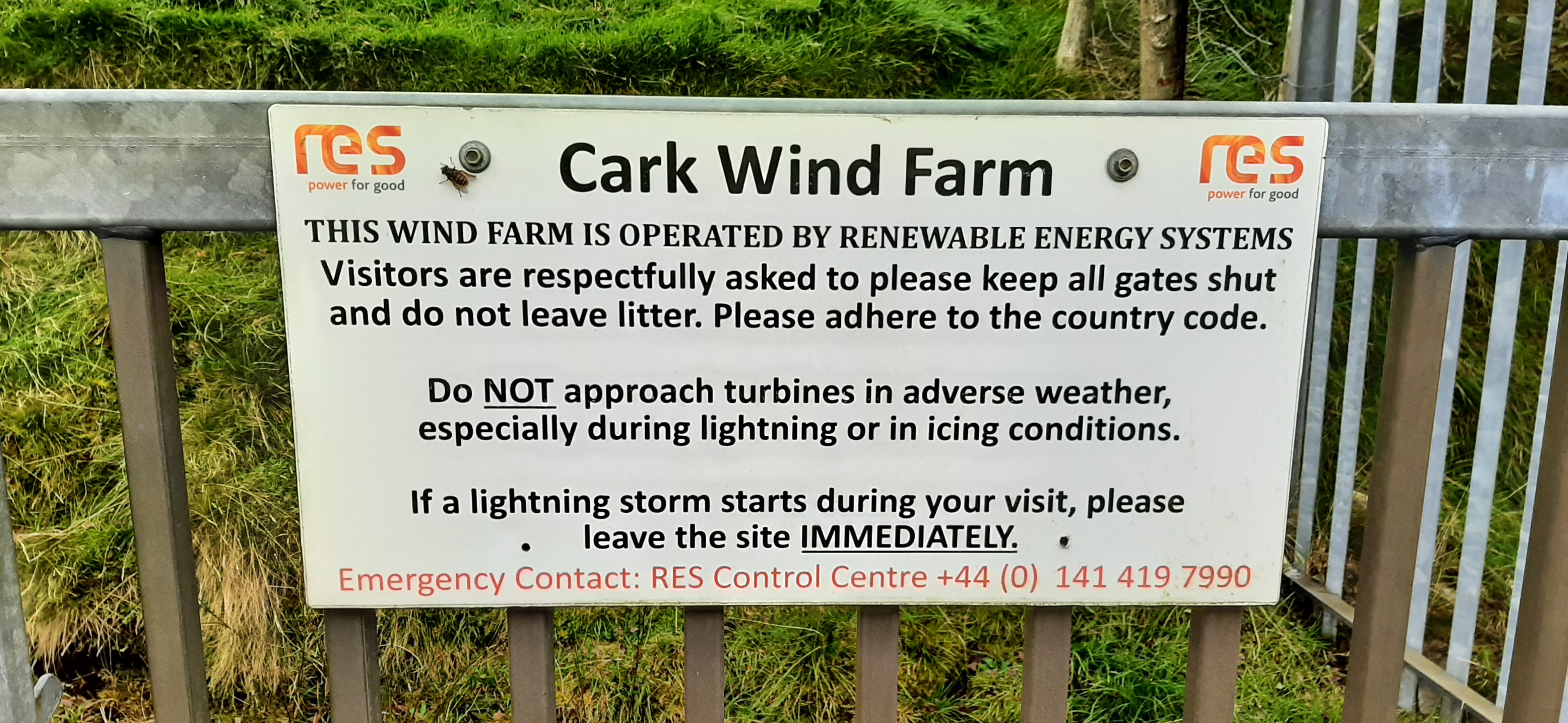
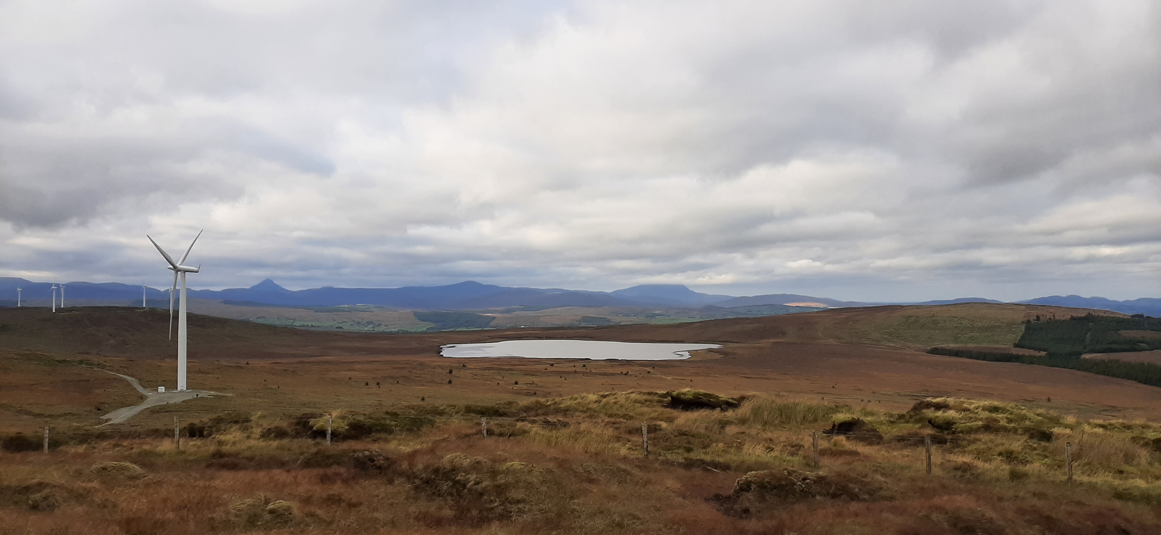
This was a short drive away which involved skirting around Cuillagh and approaching the summit through a windfarm. This area is full of windfarms. I’m pretty neutral about windfarms but this kind of proliferation feels wrong. It also makes for a pretty dull walk!
I managed to park at the wrong gate (full of over the top and intimidating signs) so had a 400m walk along the quiet road before entering the correct gate.
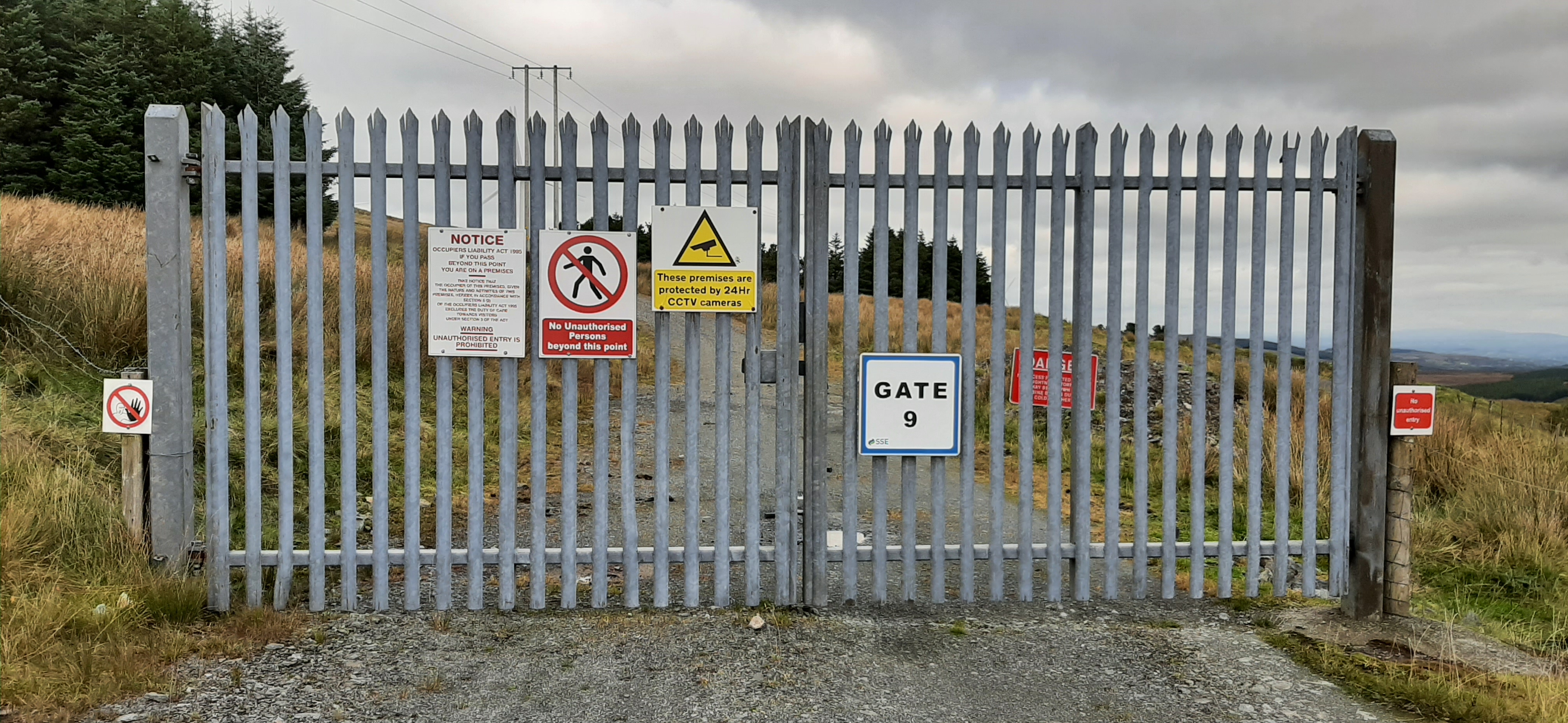
you shall not pass. wtf!
a bit friendlier
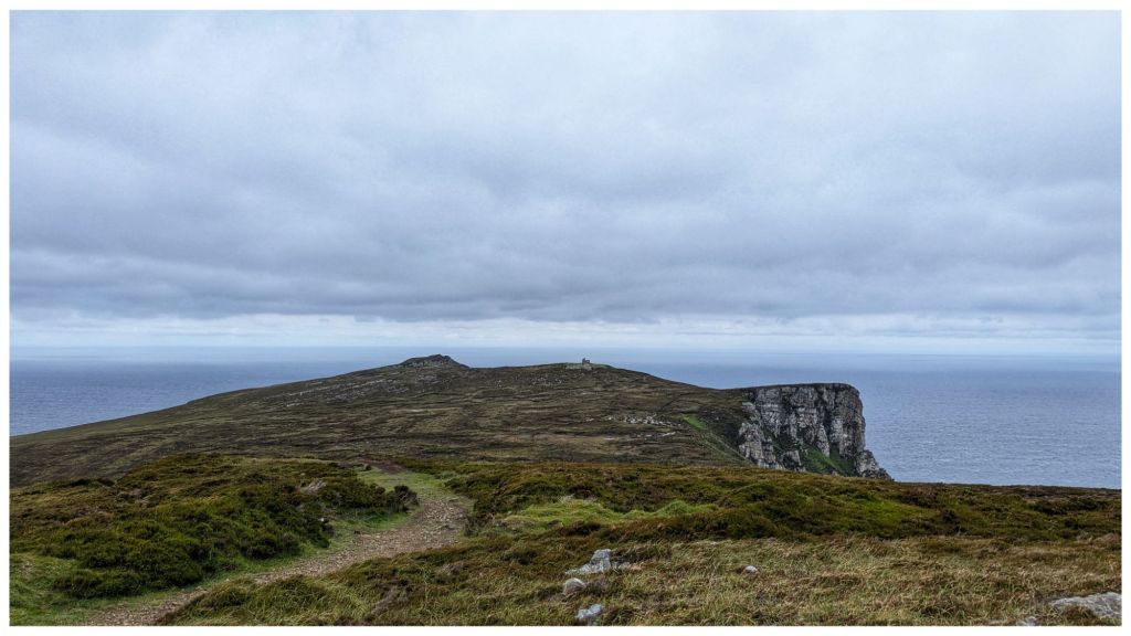
Heading in the main gate I simply followed the windfarm tracks. They quickly ascend the steep climb but after the first few hundred metres tend to dip down below the surface of the bog meaning the views are pretty non existent. By the time I reached the end of the track and the final couple of hundred metres of grassland to the summit I was sick of the sight and sound of the windmills.
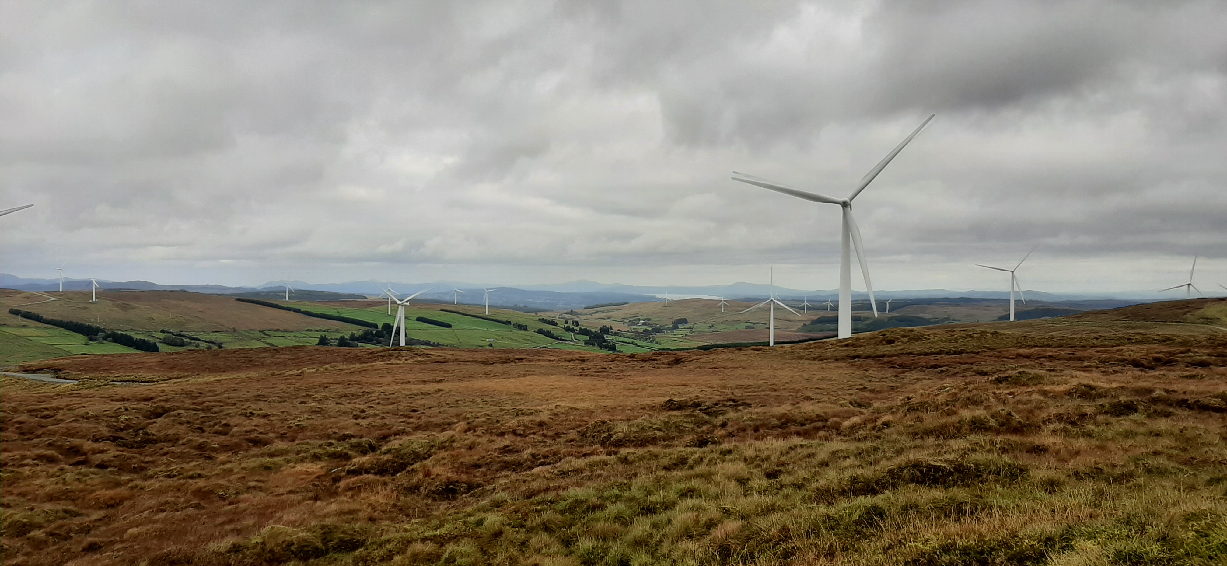
The final approach is once again straightforward and typical mixture of eroded boggy hags, grass and heather of this area. Once again the summit was unmarked but had decent views for all its height. I couldn’t help but feel though that the landscape was so much more beautiful before they started building the hundreds of windmills that filled every direction.
errigal and muckish again

summit selfie with the least amount of windmills possible
The trip back to the car was simply the approach in reverse. However, I somehow managed to get disorientated and took a wrong turn. Coming back to the junction I’ve no idea how I missed this sign!
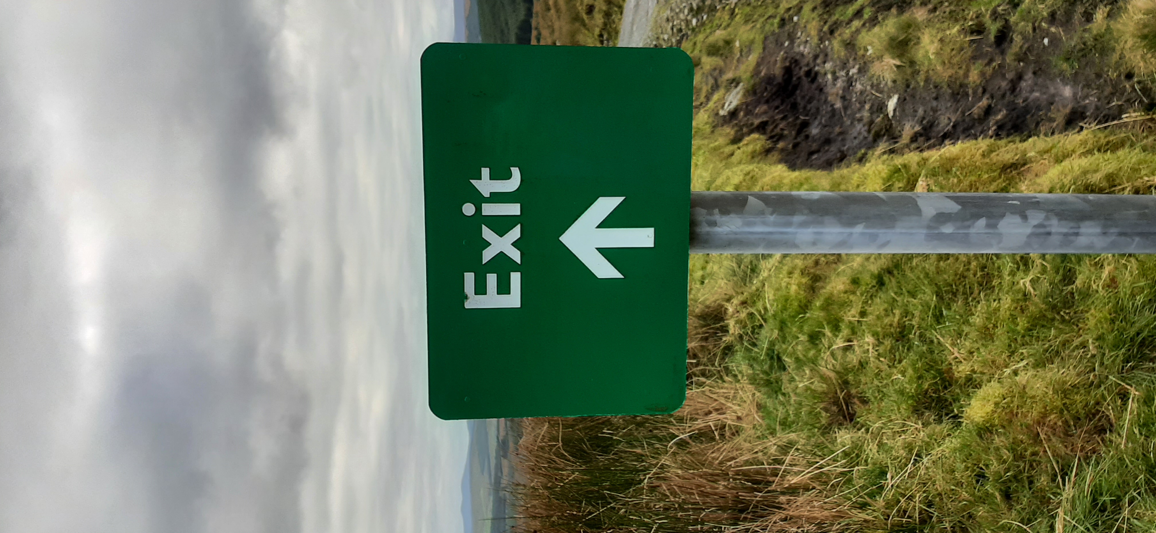
you would think they would have said something!
Cark Mountain on Mountainviews.ie
My original plan was to go for a 3rd nearby hill called Ballystrang but it was another windfarm and I couldn’t gather enough motivation for it. I’ve also decided that I would be better keeping these short, easier walks for the winter when I have an urge to get out but only have a short weather window.
Header image by Pixabay from Pexels