Starting my new job at the end of August came with an unexpected seven days of annual leave to use before the end of the year. Four of these are required for my first Xmas off since 2012 leaving three to be used elsewhere. I used one to make the Halloween Bank Holiday into a four-day weekend and used the other two this weekend to do the same.
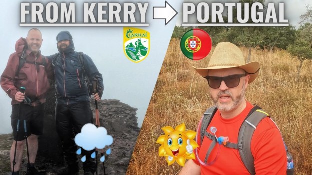
My Friday off coincided with a friend Gary’s suggestion to attend a Mountaineering Ireland event in Dublin on Thursday evening to hear Demort Somers speak before being presented with the annual Lynam Award for his contribution to Irish Mountaineering. Dermot was part of the 1993 expedition which saw the first Irish person reach the summit of Everest. Although he spoke only a little about Everest he was very entertaining. I’m not a climber in any sense but it coincided nicely with a podcast I’ve been listening to in the last few weeks.

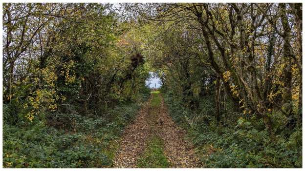
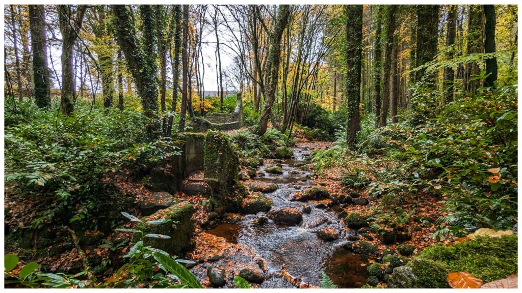
Gary and myself were very kindly hosted for the night by Miriam, another friend. She attended the event with us and our plan was to go for a day hike in the Wicklow Mountains on Friday. However, a low cloud forecast required a change of plans and we headed for the Dublin Mountains instead and visited a place I’ve been interested in visiting for a long time

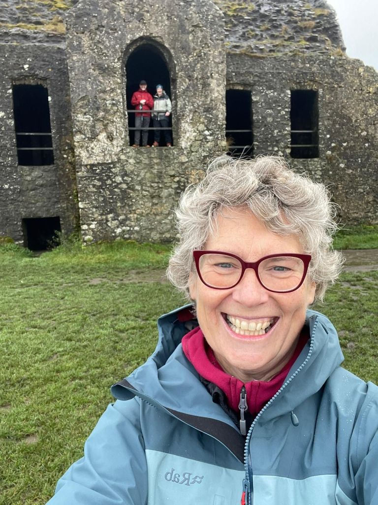
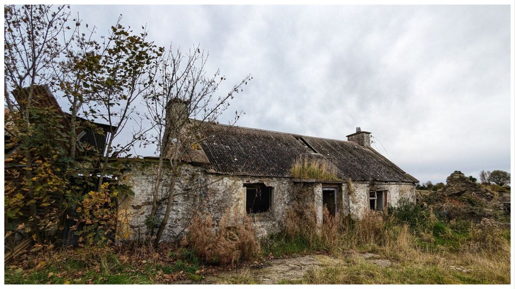
Montpelier Hill (Irish: Cnoc Montpelier) is a 383-metre hill in County Dublin, Ireland.It is topped by the Hell Fire Club, the popular name given to the ruined building. This building – an occasional summer residence built in around 1725 by William Conolly – was originally called Mount Pelier and since its construction the hill has also gone by the same name.
Members of the Irish Hell Fire Club, which was active in the years 1735 to 1741, used Mount Pelier summer residence as a meeting place. Stories of wild behaviour and debauchery and occult practices and demonic manifestations have become part of the local lore over the years.
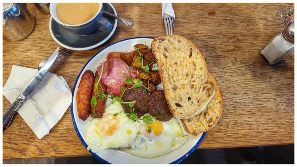
All of this was fuelled by possibly the best ever breakfast I’ve had, supplied by the East Village Coffee Shop in Clondalkin.
Close by the building at the summit there was a trig pillar which I dutifully tapped. Sadly it has been vandalised over the years with all the metalwork removed but the concrete pillar is still in decent shape.

Gary was a geocacher at one time and between the two of us we made a short diversion to grab a nearby cache that was close to the path, making for a trilogy of lists that got ticked off in one short visit.
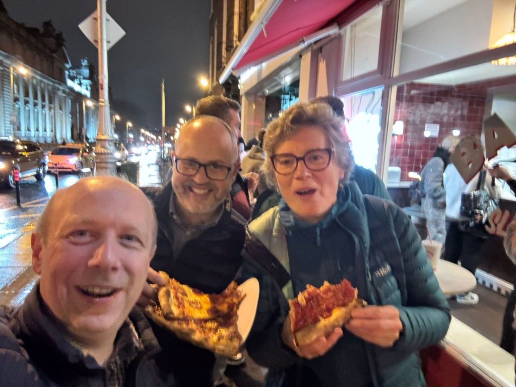
Following a short diversion into a very picturesque Massey Estate we headed for Timbertrove which according to Miriam, has the best scones in Ireland. They are certainly among the biggest I’ve ever seen anyway!

One thing for sure, I didn’t go hungry on my mini trip to Dublin!
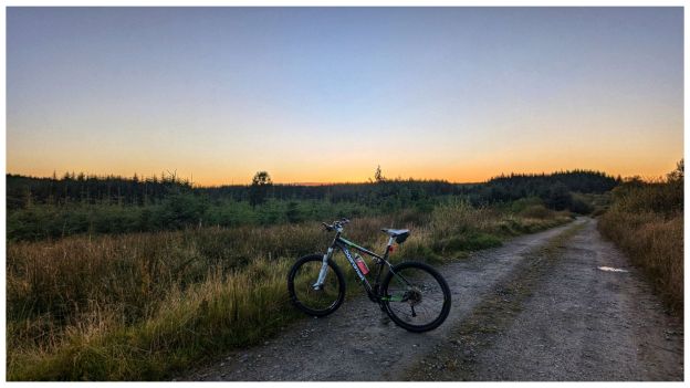
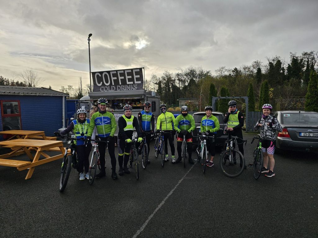
Saturday morning saw me joining the Club Stabiliser Group for the weekly ride. That’s six weeks out with this group now which is becoming a really good and very enjoyable routine again. Also my 5th ride over 50km which I didn’t expect to be coming close to this soon after starting cycling again at the beginning of September.
Sunday afternoon it was my turn to look after my Great Aunt Ruby while Mum and Dad had a few hours to themselves. I’ve spoken here about Ruby before but she is now the oldest living person in Ireland and it’s an honour to be able to spend time with her like this. Unsurprisingly, she is not the same lady at the end of the year that she was at the beginning but she still has moments to make me laugh.

Today I had planned to cycle in the morning but Winter has come rushing in late but with a wicked bite. Temperatures hovering just above freezing created a fog thick enough to make it unsafe that didn’t lift until well after noon. By that stage I was too lazy, was settled in with the heating on and a really good book (The Reckoning by Jane Casey) with a few episodes of Justified to break up the day.
There’s something in me that tends to see days like today as a waste but I managed to ease the “guilt” with a bit of housework in the afternoon. Going back to work tomorrow I may appreciate the rest better in the morning.
Four days definitely is a good long weekend but it has felt a good bit longer in a positive way.